Tag - USA

Burr Trail Road

Picturesque Burr Trail Road

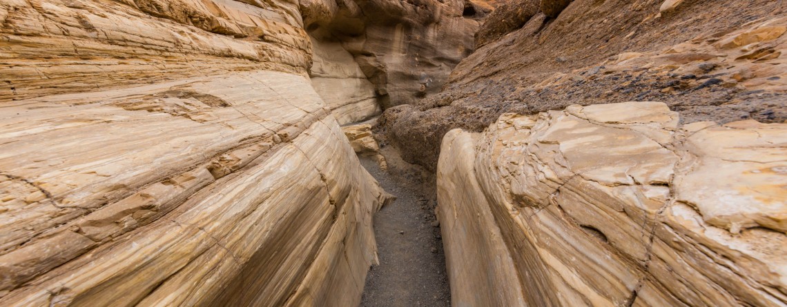
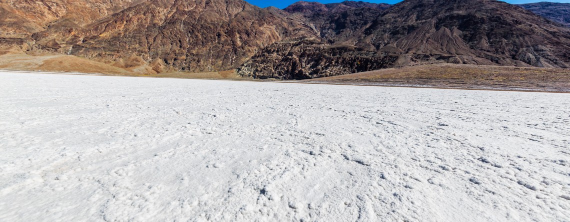
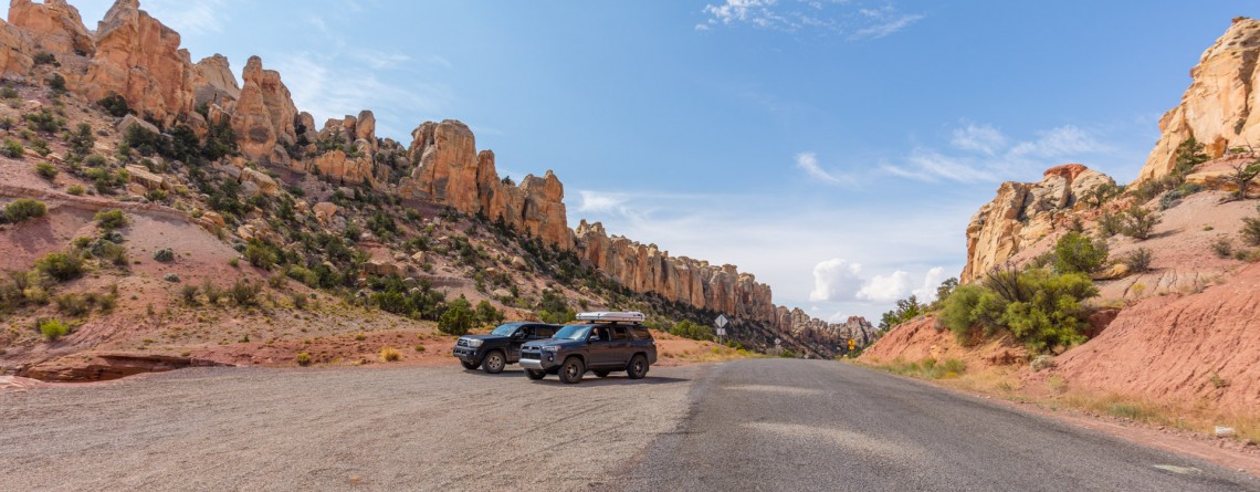
Location: Garfield County, Utah, USA Length:  67 miles GPS Coordinates:  N 37 54.064 W 111 25.469 We meet numerous stunning roads on our way. And each one can tell you even more than the place you plan to visit. You just drive without any hurry, feeling a tinge of freedom and enjoying the scenery. Take a scenic drive along the Burr Trail Scenic Backway in the USA discovering memorable places with sweeping views. Utah can boast with stunning 67-mile back road. This fascinating road [...]

Scenic Byway 12 - 15

Incredible scenic drive along Highway 12

Location: Garfield County, Utah, USA Length:  123 miles GPS Coordinates: N 37 44.976  W 112 22.575 The world is so amazing! It will take you the entire life to discover all its awesome places. Traveling makes our life brighter and more eventful. Every road leaves a mark in the memory and soul. The USA teems with the lots of gorgeous and extremely picturesque roads known throughout the world. The most of them are undiscovered. You will find a striking Scenic Byway 12 in the beautiful [...]

Virgin River 13

Virgin River – a Beautiful Creator of Zion Canyon

  Many thousands of years ago, the Virgin River was making its way to the south, winding in the soft formations of a young Colorado Plateau. Over time, the plateau began to rise, driven by the powerful forces of Earth, and little river had to fight its way through it, "biting" into the rock and washing away particles of gravel and sand "on the way". Thus, thanks to the perseverance and persistence of the Virgin River an amazingly beautiful canyon [...]

Canyon Overlook 13

Canyon Overlook Trail at Zion National Park

Location: Zion National Park, Utah Length: 1 mile roundtrip GPS coordinates: N37 12.798 W112 56.440 If you have never been to Zion National Park and during your first limit you are limited in time and cannot see the whole national park, that Canyon Overlook Trail is just a must visit for you! This short trail with the length of approximately 1 mile (roundtrip) will take you only about one hour to hike it, but it will endow you with inexpressible impressions and unforgettable [...]

River Trail 27

Amazing River Trail at Smith Rock State Park

Address: Terrebonne, OR 97760, United States Phone number: 541-548-7501 Length: 0.68 miles GPS Coordinates: N 44 21.952 W 121 08.233 Information Center: Crooked River National Grassland, 274 SW 4th Street, Madras, OR River Trail is an extremely easy picturesque trail, especially popular and often visited by families with kids and various age visitors, who are eager to enjoy all the beauty of Smith Rock State Park without climbing the strenuous trails, preferring a pleasant saunter at a leisurely pace. To find to the River Trail from the [...]

Mammoth Hot Spring in Yellowstone National Park

Location: Yellowstone National Park Length: 1.75 miles Elevation Gain: 300 feet GPS Coordinates: N 44 58.108 W 110 42.459 The Mammoth Hot Springs Terraces are very popular among the tourists and they have been popular since the very development of the Yellowstone National Park. The terraces were first described by the Hayden Survey in 1871 and they received a name of White Mountain Hot Spring. It should be said that Mammoth Terraces are changing their shape and color constantly. Very interesting thing happens when [...]

Amazing sunset at Yellowstone National Park 9

Amazing Sunset at Yellowstone National Park

One of the most magical and gorgeous moment in a day is sunset. It’s the time when the day fades and the sun drowns in the endless horizon. Bright colors of the sky are just indescribable by words. John Lubbock said: “Sunsets are so beautiful that they almost seem as if we were looking through the gates of Heaven.” And this was a special sunset, the sky was colored in unbelievably beautiful and unearthly colors, it was the time to [...]

Old Faithful Geyser 2

Old Faithful Geyser – Is it really so faithful?

Location: Upper Geyser Basin, Yellowstone National Park GPS Coordinates: N 44 27.635 W 110 49.846 The Upper Geyser Basin in Yellowstone National Park is home for one of the most famous and faithful geysers in the world. This basin is famous for the fact that nearly one quarter of all worlds’ geysers is located here. Just imagine a territory in one square mile that has 150 geysers. Not only geysers, but also such thermal features like hot springs, boiling springs and [...]

Biscuit Basin 25

Biscuit Basin – Yellowstone National Park

Difficulty: Easy Length: 0.7 miles GPS Coordinates: N 44 29.103 W 110 51.153 Biscuit Basin is part of Upper Geyser Basin and is home for Mustard Spring, beautiful Sapphire Pool and Black Opal Pool, Shell Geyser, Avoca Spring, Jewel Geyser, etc. Biscuit Basic is located at Yellowstone National Park, only 3 miles from a very famous Old Faithful. The basin got its name thanks to the deposits, biscuit-shaped, that were found on the territory around Sapphire Pool. On August 17, 1959 the earthquake [...]

Salt Creek Interpretive Trail 21

Salt Creek Interpretive Trail. Incredible life in salty water.

Location: Death Valley National Park, Stovepipe Wells Area Length: ½ mile GPS Coordinates: N 36 35.436 W 116 59.433 Contact Information: Death Valley National Park P.O. Box 579 Death Valley, CA 92328 Salt Creek is a wonderful place in the Death Valley National Park. It is very unusual, because it’s hard to believe that in the desert you will find a real oasis full of life. If we talk about the trail itself, it is considered to be well-maintained and covered with wood boards. It’s not even a trail for [...]

Mosaic Canyon 16

Real Marble at Mosaic Canyon, Death Valley National Park

Location: Death Valley National Park, Stovepipe Wells Area Length: ½ - 2 miles GPS Coordinates: N 36 34.324 W 117 8.667 Contact Information: Death Valley National Park P.O. Box 579 Death Valley, CA 92328 Mosaic Canyon is one of the most scenic and beautiful sights in Death Valley national Park. The short trail will take you through the narrow canyon with high polished walls. Numerous floods have polished the marble walls and multicolored rock formations. Tourists will enjoy this hike with numerous opportunities to explore smooth marble walls. Mosaic Canyon [...]

Mesquite Falls Sand Dunes 46

Unusual Mesquite Flat Sand Dunes – Death Valley National Park

Location: Death Valley National Park Length: No trail GPS Coordinates: N 36 36.372 W 117 6.904 Contact Information: Death Valley National Park P.O. Box 579 Death Valley, CA 92328 Mesquite Flat Sand Dunes are beautiful and the most accessible sand dunes in Death Valley. Though they are not the tallest, they are very popular among tourists. The largest dune is called Star Dune. The highest dune rises about 100 feet, but these dunes cover massive territory, but it’s only one percent of the Death Valley that is covered with [...]

Badwater Salt Flats 24

White Salt Flats of Badwater

Location: Death Valley National Park Length: 2 miles roundtrip GPS Coordinates: N 36 13.79 W 116 46.035 Contact Information: Death Valley National Park P.O. Box 579 Death Valley, CA 92328 Badwater Basin is an endorheic basin known as the lowest point in North America. Its elevation is 282 ft below sea level. The name to the area was given thanks to the spring-fed pool of “bad water”, the salt make this water undrinkable. Actually, this water is four times saltier than the water in the ocean. Although, the water in [...]