Tag - Oregon

Clatsop Loop Trail 1

CLATSOP LOOP TRAIL

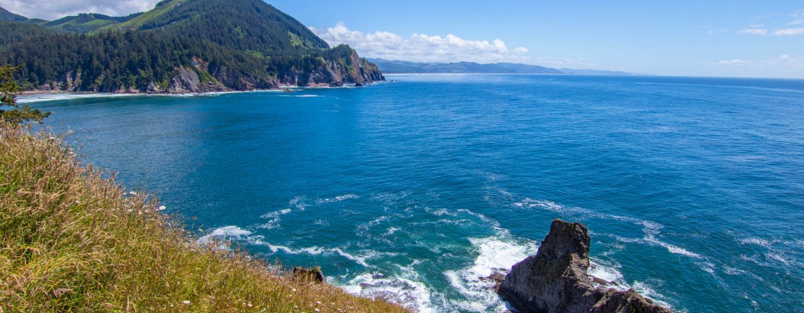
  Location: Ecola State Park, Oregon Length: 2,7 miles Difficulty: Moderate Elevation gain: 720 feet GPS coordinates: N 45 55.905  W 123 58.749 Take in the atmosphere of tranquility and peace while hiking along the Clatsop loop trail. Take a journey through the fascinating old growth forest and soak up the gorgeous views of the ocean. Clatsop loop trail is 2.7 mile trail which begins at the Indian Beach parking area in Ecola State Park. It's a dog friendly quick loop trail that will reward you [...]

Cannon beach Trail 9

CANNON BEACH TRAIL

Location: Ecola State Park, Oregon Length: 2,8 miles Difficulty: Moderate GPS coordinates: N  45 55.874  W 123 58.570 Visitor’s Information: Dogs are permitted on a leash Take your time and experience the most stunning views of the ocean and feel yourself relaxed! Cannon Beach trail is an amazing 2.8 mile dog friendly out and back trail which is very popular among tourists because of Haystack Rock and The Needles. It’s an awesome destination to bring a picnic and take in the breathtaking views of the [...]

Story in Stone Trail 24

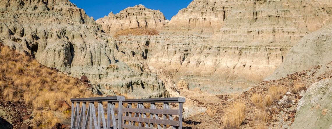
Story in Stone Trail

  Location: Sheep Rock Unit, John Day Fossil Beds National Monument, Oregon Roundtrip: 1/3 mile Difficulty: Easy Elevation Gain: 40 feet GPS Coordinates: N 44 39.126   W 119 38.407 Visitor’s Information Open: all year round No Pass Required   Foree Area is the northernmost section of Sheep Rock Unit, separated by some private lands from the main part of the Unit. The main tourist features of this area, except for the magnificent scenery of course, is a modest picnic area and two hiking trails – the Flood of Fire Trail and the Story in Stone Trail. Sharing [...]

Flood of Fire Trail 18

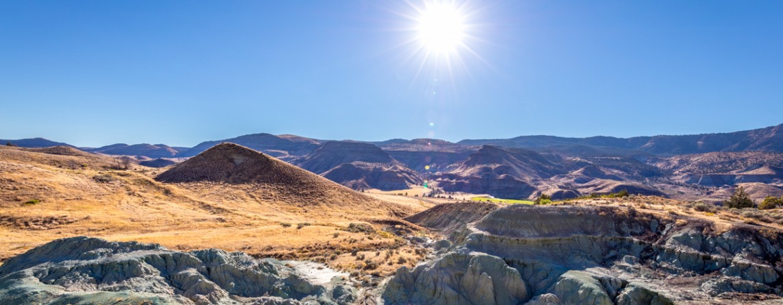
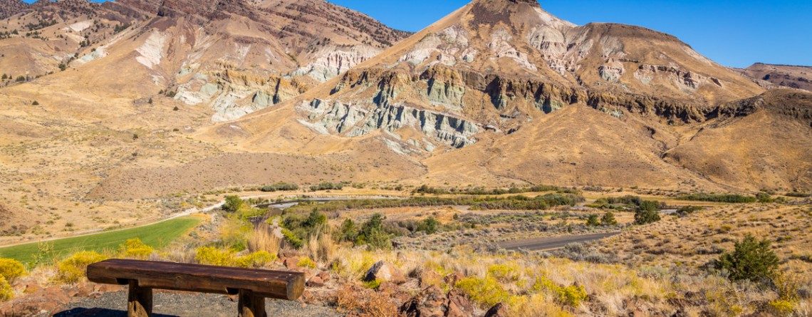
The beauty of Foree Area from the Flood of Fire Trail

    Location: Sheep Rock Unit, John Day Fossil Beds National Monument, Oregon Roundtrip: 0,4 mile Difficulty: Easy Elevation Gain: 50 feet GPS Coordinates: N 44 39.147   W 119 38.434 Visitor’s Information Open: all year round No Pass Required   Foree area is a part of the Sheep Rock Unit, but is located at some distance northwards from the rest of the Unit. You need to drive a little bit more than 7 miles north on Highway 19 from the Paleontology Center until you reach the right turn with the sign indicating the Picnic Area. [...]

Island in Time Trail 41

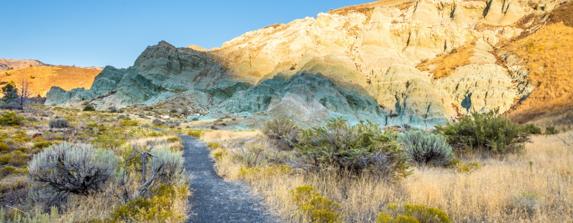
Island in Time Trail – a harkback to the past

  Location: Sheep Rock Unit, John Day Fossil Beds National Monument, Oregon Roundtrip: 1,3 mile Difficulty: Easy Elevation Gain: 220 feet GPS Coordinates: N 44 35.730 W 119 37.856 Visitor’s Information Open: all year round No Pass Required   Blue Basin is an incredible and unparalleled area of John Day Fossil Beds National Monument. At first glance you see only the beauty and unicity of landscape, the enchantment of the colors, but when you look deeper, you understand the whole historical importance of this place. Its paleontological significance cannot be overestimated. Starting from 1860s, when Thomas [...]

Blue Basin Overlook Trail 8

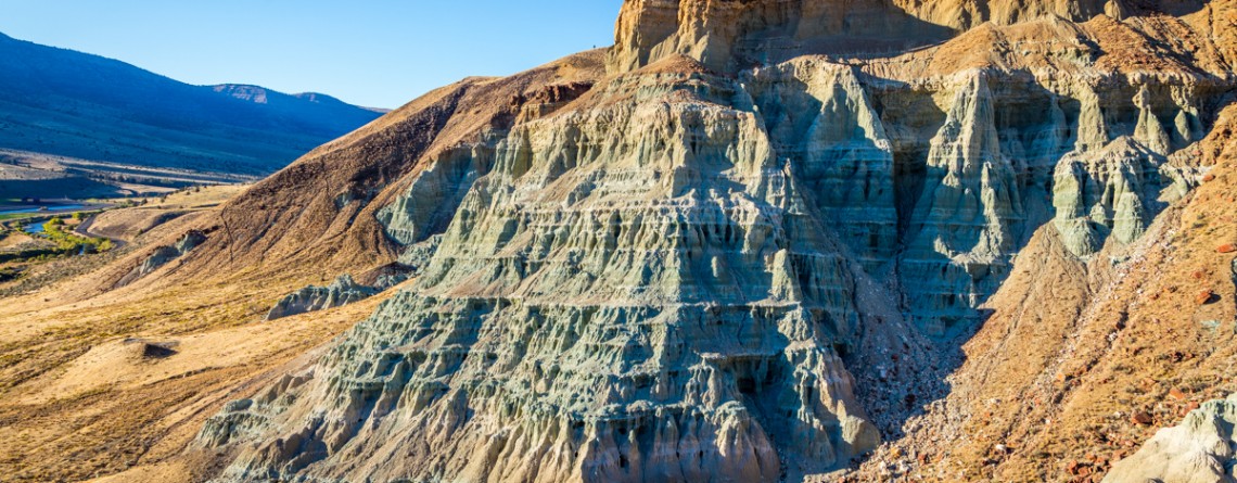
Blue Basin Overlook Trail of the Sheep Rock Unit

    Location: Sheep Rock Unit, John Day Fossil Beds National Monument, Oregon Roundtrip: 3,25 miles loop-trail Difficulty: Moderate Elevation Gain: 760 feet GPS Coordinates: N 44 35.730 W 119 37.856 Visitor’s Information Open: all year round No Pass Required   John Day Fossil Beds National Monument in Oregon can become a decoration of any journey. It's like a trip in a time machine to the distant past of the planet. And if you have interest in paleontology, it is definitely worth a look, although this national monument is located away from the beaten tourist trails, [...]

River Trail 42

Cant Ranch and a peacefully beautiful River Trail

  Location: Sheep Rock Unit, John Day Fossil Beds National Monument, Oregon Roundtrip: 0,6 miles Difficulty: Easy Elevation Gain: None GPS Coordinates: N 44 33.334   W 119 38.677 Visitor’s Information Open: all year round No Pass Required   Cant Ranch is the second “must-visit” place on your trip around the Sheep Rock Unit after Paleontology Center. It can be easily found as it is situated just across the street from the Center. The former house of Scottish immigrants - James Cant and his wife Elizabeth, which was built in 1917, serves now as a historical [...]

Thomas Condon Overlook Trail 19

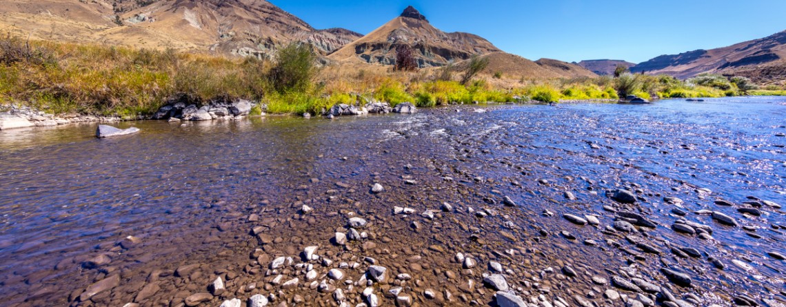
The beauty of John Day River valley as seen from Thomas Condon Overlook Trail

  Location: Sheep Rock Unit, John Day Fossil Beds National Monument, Oregon Roundtrip: 0,25 miles Difficulty: Easy Elevation Gain: 40 feet GPS Coordinates: N 44 33.101   W 119 38.759 Visitor’s Information Open: all year round No Pass Required   If you chose John Day Fossil Beds (JDFB) National Monument as your next trip destination, you may plan the exploration of this unique source of geologic history study starting from any of 3 units, it is made-up of (Clarno Unit, Painted Hills Unit, Sheep Rock Unit). But to our opinion the best way to start [...]

Summit Trail 11

Summit Trail at Smith Rock State Park – unforgettable views

Address: Terrebonne, OR 97760, United States Phone number: 541-548-7501 Length: 2 miles GPS Coordinates: N 44 21.952 W 121 08.233 The Summit Trail is the youngest trail in the park, which was opened in 2013. It is actually a connecting trail and is usually hiked as a part of Summit Trail Loop which starts at the parks’ Welcome Center and runs for approximately 7, 5 miles throughout the Smith Rock State Park, and includes Canyon Trail, River Trail, Summit Trail, Burma Road Trail and Wolf [...]

Skull Hollow Campground 9

Skull Hollow Campground at Smith Rock State Park, Oregon

Address: Terrebonne, OR 97760, United States Phone number: 541-548-7501 Acreage: 651.68 Day-use: Fee Annual Pass: 24 month pass $5, $30, $50 GPS Coordinates: N 44 21.952 W 121 08.233 Information Center: Crooked River National Grassland, 274 SW 4th Street, Madras, OR Rock Smith State Park is a unique place with unbelievable landscape visited by hundreds of thousands people annually. It is the real Paradise for the climbers offering f couple of thousands of routs for climbing with various levels of difficulty. The only thing this wonderful park is missing is [...]

Smith Rock State Park 14

The Beauty of Smith Rock State Park

Address: Terrebonne, OR 97760, United States Phone number: 541-548-7501 Acreage: 651.68 Day-use: Fee Annual Pass: 24 month pass $5, $30, $50 GPS Coordinates: N 44 21.952 W 121 08.233 Smith Rock State Park is one of the pearls of Oregon State. Located on the banks of Crooked River, it spreads over the territory of 615 acres. Oregon State received the lands of this state park in the time period of 1960 - 1975 (some of them were donated, and some were bought by the state). Since then this incredible [...]

Canyon Trail 13

Winding Canyon Trail

Location: Smith Rock State Park Length: 6.5 miles GPS Coordinates: N 44 21.952 W 121 08.233 Smith Rock State Park is a very interesting place, where you can explore and enjoy nature hiking, or look at the park from another prospective – climbing. Canyon Trail is an easy 1.5-mile trail, which at some point it becomes steeper. It winds around Crooked River and provides nice views of the park. This trail also allows hikers to enjoy forested area of the park, probably the only [...]

Burma Road Trail 19

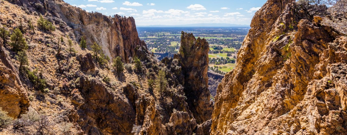
Burma Road Trail: The View From Above

Location: Smith Rock State Park Length: 6.5 miles GPS Coordinates: N 44 21.952 W 121 08.233 Smith Rock State Park is a very popular destination in Oregon both among hikers and rock climbers. A well-developed trail system and numerous rocks for climbing attract thousands of tourists. Burma Road Trail is a breathtaking 6.5-mile hike that takes you to the top. The trail is fabulous because hikers see and explore the difference between the unique ecosystem near the river, at the bottom and at [...]