Tag - images

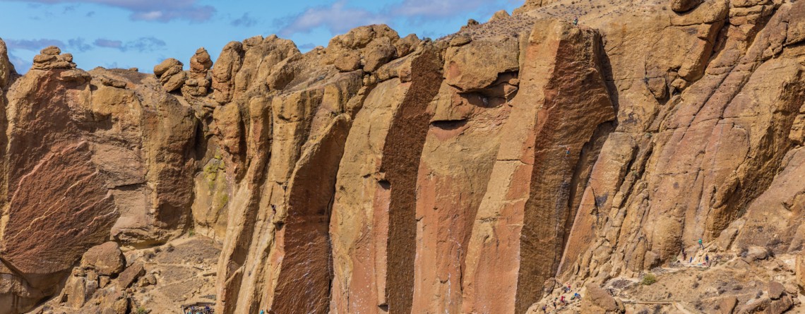
Misery Ridge Trail 24

Misery Ridge Trail at Smith Rock State Park

Address: Terrebonne, OR 97760, United States Phone number: 541-548-7501 Length: 0.68 miles GPS Coordinates: N 44 21.952 W 121 08.233 Information Center: Crooked River National Grassland, 274 SW 4th Street, Madras, OR Misery Ridge Trail is probably the most popular and well-known trail of the Rock Smith State Park, but for inexperienced hikers it may also seem one of the most strenuous trails of this state park. Its steep ascend at the beginning caused lots of troubles to early pioneers, trying to cross over the mountain [...]

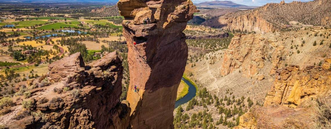
Smith Rock State Park 14

The Beauty of Smith Rock State Park

Address: Terrebonne, OR 97760, United States Phone number: 541-548-7501 Acreage: 651.68 Day-use: Fee Annual Pass: 24 month pass $5, $30, $50 GPS Coordinates: N 44 21.952 W 121 08.233 Smith Rock State Park is one of the pearls of Oregon State. Located on the banks of Crooked River, it spreads over the territory of 615 acres. Oregon State received the lands of this state park in the time period of 1960 - 1975 (some of them were donated, and some were bought by the state). Since then this incredible [...]