Tag - history

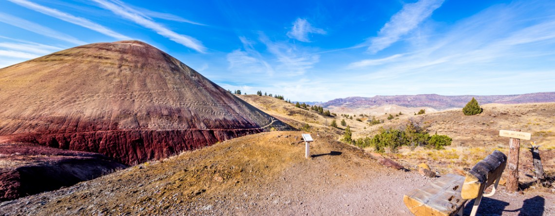
Story in Stone Trail 24

Story in Stone Trail

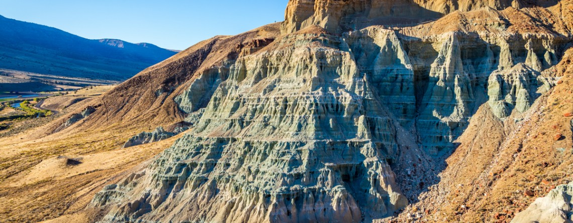
  Location: Sheep Rock Unit, John Day Fossil Beds National Monument, Oregon Roundtrip: 1/3 mile Difficulty: Easy Elevation Gain: 40 feet GPS Coordinates: N 44 39.126   W 119 38.407 Visitor’s Information Open: all year round No Pass Required   Foree Area is the northernmost section of Sheep Rock Unit, separated by some private lands from the main part of the Unit. The main tourist features of this area, except for the magnificent scenery of course, is a modest picnic area and two hiking trails – the Flood of Fire Trail and the Story in Stone Trail. Sharing [...]

Flood of Fire Trail 18

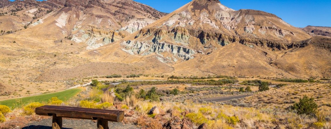
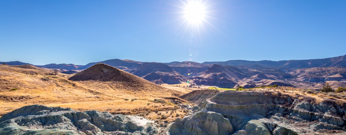
The beauty of Foree Area from the Flood of Fire Trail

    Location: Sheep Rock Unit, John Day Fossil Beds National Monument, Oregon Roundtrip: 0,4 mile Difficulty: Easy Elevation Gain: 50 feet GPS Coordinates: N 44 39.147   W 119 38.434 Visitor’s Information Open: all year round No Pass Required   Foree area is a part of the Sheep Rock Unit, but is located at some distance northwards from the rest of the Unit. You need to drive a little bit more than 7 miles north on Highway 19 from the Paleontology Center until you reach the right turn with the sign indicating the Picnic Area. [...]

Island in Time Trail 41

Island in Time Trail – a harkback to the past

  Location: Sheep Rock Unit, John Day Fossil Beds National Monument, Oregon Roundtrip: 1,3 mile Difficulty: Easy Elevation Gain: 220 feet GPS Coordinates: N 44 35.730 W 119 37.856 Visitor’s Information Open: all year round No Pass Required   Blue Basin is an incredible and unparalleled area of John Day Fossil Beds National Monument. At first glance you see only the beauty and unicity of landscape, the enchantment of the colors, but when you look deeper, you understand the whole historical importance of this place. Its paleontological significance cannot be overestimated. Starting from 1860s, when Thomas [...]

Blue Basin Overlook Trail 8

Blue Basin Overlook Trail of the Sheep Rock Unit

    Location: Sheep Rock Unit, John Day Fossil Beds National Monument, Oregon Roundtrip: 3,25 miles loop-trail Difficulty: Moderate Elevation Gain: 760 feet GPS Coordinates: N 44 35.730 W 119 37.856 Visitor’s Information Open: all year round No Pass Required   John Day Fossil Beds National Monument in Oregon can become a decoration of any journey. It's like a trip in a time machine to the distant past of the planet. And if you have interest in paleontology, it is definitely worth a look, although this national monument is located away from the beaten tourist trails, [...]

River Trail 42

Cant Ranch and a peacefully beautiful River Trail

  Location: Sheep Rock Unit, John Day Fossil Beds National Monument, Oregon Roundtrip: 0,6 miles Difficulty: Easy Elevation Gain: None GPS Coordinates: N 44 33.334   W 119 38.677 Visitor’s Information Open: all year round No Pass Required   Cant Ranch is the second “must-visit” place on your trip around the Sheep Rock Unit after Paleontology Center. It can be easily found as it is situated just across the street from the Center. The former house of Scottish immigrants - James Cant and his wife Elizabeth, which was built in 1917, serves now as a historical [...]

Thomas Condon Overlook Trail 19

The beauty of John Day River valley as seen from Thomas Condon Overlook Trail

  Location: Sheep Rock Unit, John Day Fossil Beds National Monument, Oregon Roundtrip: 0,25 miles Difficulty: Easy Elevation Gain: 40 feet GPS Coordinates: N 44 33.101   W 119 38.759 Visitor’s Information Open: all year round No Pass Required   If you chose John Day Fossil Beds (JDFB) National Monument as your next trip destination, you may plan the exploration of this unique source of geologic history study starting from any of 3 units, it is made-up of (Clarno Unit, Painted Hills Unit, Sheep Rock Unit). But to our opinion the best way to start [...]

Zabriskie Point 15

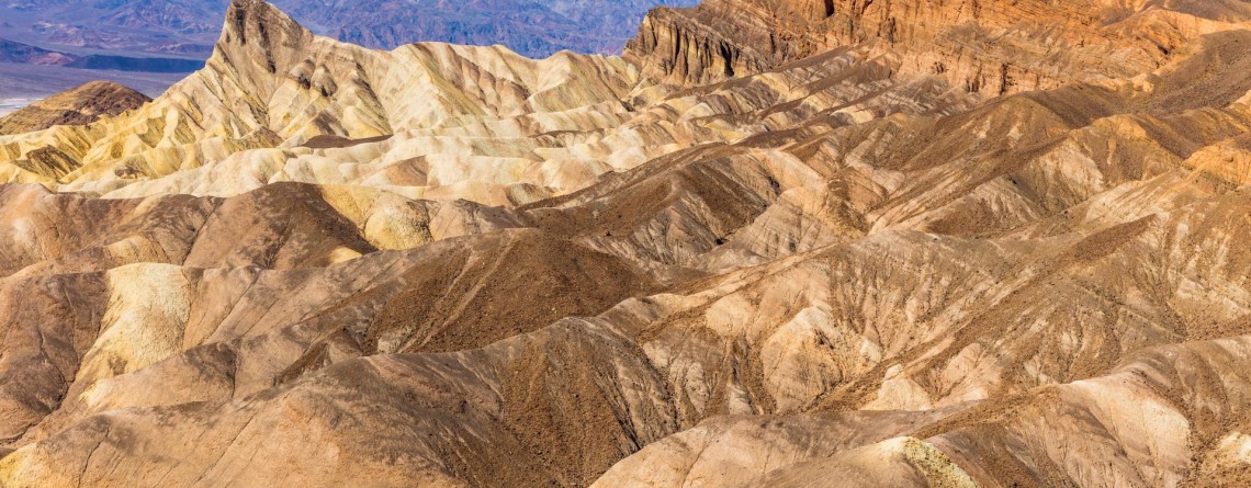
Dramatic views and geological history – Zabriskie Point, Death Valley National Park

Location:    Death Valley National Park, Furnace Creek Area Round Trip:    2.9 miles from Golden Canyon GPS Coordinates:    N 36 25.258 W 116 48.578 Death Valley National Park is a 3.4 million acre park that is the largest park in the contiguous states of the USA.  This unusual valley is surrounded by steep mountain ranges. There are the Panamint Mountains to the west, and the Black, Funeral, and Grapevine Mountains to the east. Its highest point is Telescope Peak, at 11,049 feet. Death Valley [...]

Arch Trail 29

Exploring the Clarno Unit: Arch Trail

Location: Clarno Unit, John Day Fossil Beds National Monument, Oregon Round Trip: 0,5 miles Difficulty: Moderate Elevation Gain: 200 feet GPS Coordinates: N 44 54.794 W 120 24.562 Visitor’s Information Open: all year round No Pass Required   Eastern part of Oregon will amaze you with a significant natural attraction - John Day Fossil Beds National Monument. This fantastic national monument introduces the visitors to the 40 million years evolution history of plants and animals, showing also the change of climate and various ecosystems which existed throughout all these millions of years. John Day [...]

Geologic Time Trail 26

50 Million Years’ History of the Geologic Time Trail

Location: Clarno Unit, John Day Fossil Beds National Monument, Oregon Round Trip: 0,5 miles Difficulty: Easy Elevation Gain: None GPS Coordinates: N 44 54.794 W 120 24.562 Visitor’s Information Open: all year round No Pass Required   The Geologic Time Trail is one of three Clarno Unit’s trails, allowing the visitors fully enjoy the striking Palisades and investigate the spectacular, unique fossils, telling us the story of the distant past, when Clarno Unit was not an arid, desert area, but a tropical forest full of various flora and fauna representatives. This trail provides [...]

Leaf Fossil Trail 31

The secret treasure of the Leaf Fossil Trail

Location: Painted Hills Unit, John Day Fossil Beds National Monument, Oregon Round Trip: 0,25 miles loop Difficulty: Easy GPS Coordinates: N 44 38.57 W 120 17.151 Visitor’s Information Open: all year round No Pass Required   At first glance the Leaf Fossil Trail (which is also known as the Leaf Hill Trail) may seem the least remarkable out of all trails meandering throughout the Painted Hills Unit. You will not find here the sweeping views or incredible panoramas of undulating, variegated hills of the unit. But this trail has something more [...]

West Ridge and Prairie Creek Trail 12

West Ridge and Prairie Creek Trail

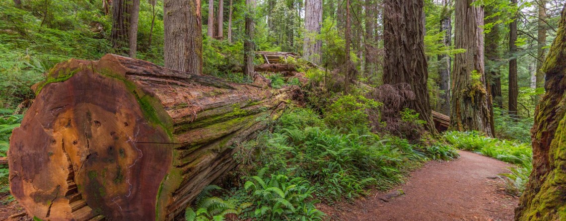
Location: Prairie Creek Redwoods State Park, California Round Trip: 5,8 miles loop Difficulty: Moderate Elevation Gain: 750 feet GPS Coordinates: N 41 21.828 W 124 01.374 Visitor’s Information Open: year-round, except when Drury Parkway is temporary closed because of heavy winter storms Day-use fees are collected at campground entrance stations. Prairie Creek Redwoods State Park is a fantastic sanctuary of 14,000 acres of redwood forests which owns the most scenic views among all the parks of Redwood National and State Parks system. It joins in itself two seemingly incompatible things: comprising magnificent [...]

Trail of Time 5

Breathtaking Trail of Time

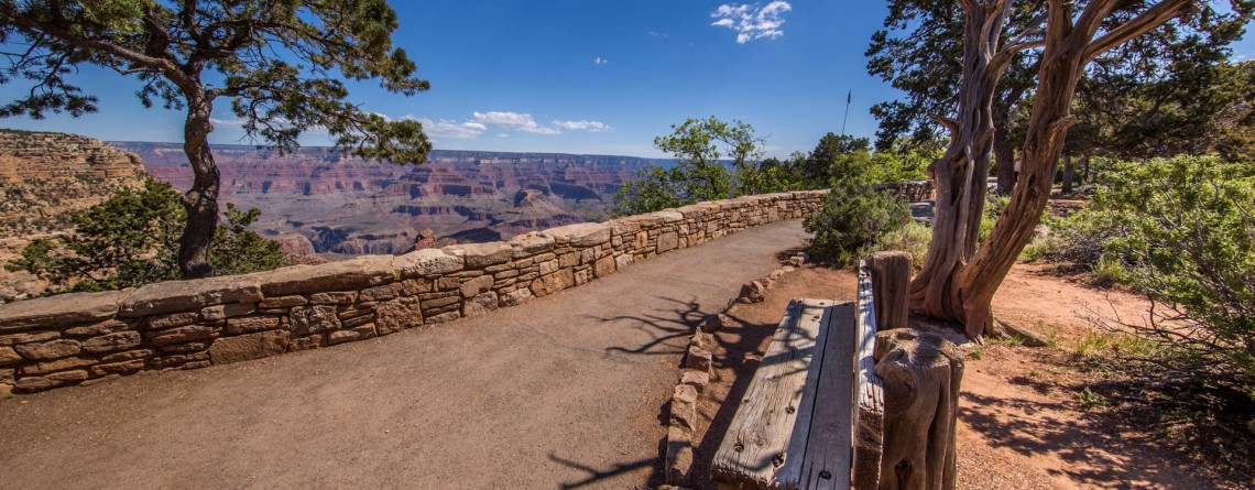
Location:    Grand Canyon, South Rim Round Trip:    2,83 miles Difficulty:    Easy GPS Coordinates:    N 36 3.969 W 112 7.055 Visitor’s Information:    Open all year round, No Pass Required Magnificent and fascinating Grand Canyon astonished and attracted people for hundreds of years. But in spite of all uniqueness and incredible geologic history of Grand Canyon, there was no any program showing, teaching or explaining its geologic significance on a worldwide scale, until in 2007 Yavapai Observation station was rededicated as a Geology Museum, and [...]