Tag - hiking equipment

Misery Ridge Trail 24

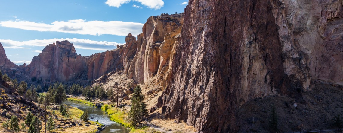
Misery Ridge Trail at Smith Rock State Park

Address: Terrebonne, OR 97760, United States Phone number: 541-548-7501 Length: 0.68 miles GPS Coordinates: N 44 21.952 W 121 08.233 Information Center: Crooked River National Grassland, 274 SW 4th Street, Madras, OR Misery Ridge Trail is probably the most popular and well-known trail of the Rock Smith State Park, but for inexperienced hikers it may also seem one of the most strenuous trails of this state park. Its steep ascend at the beginning caused lots of troubles to early pioneers, trying to cross over the mountain [...]

Canyon Trail 13

Winding Canyon Trail

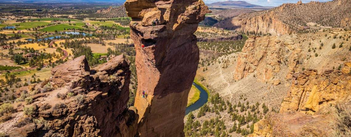
Location: Smith Rock State Park Length: 6.5 miles GPS Coordinates: N 44 21.952 W 121 08.233 Smith Rock State Park is a very interesting place, where you can explore and enjoy nature hiking, or look at the park from another prospective – climbing. Canyon Trail is an easy 1.5-mile trail, which at some point it becomes steeper. It winds around Crooked River and provides nice views of the park. This trail also allows hikers to enjoy forested area of the park, probably the only [...]

Devil's Golf Course 18

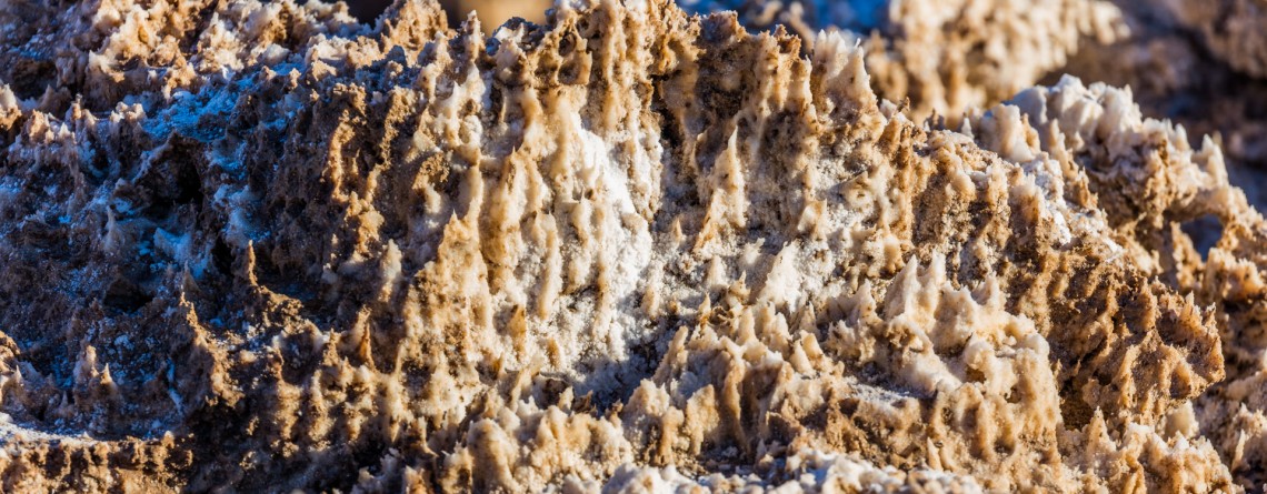
Devil’s Golf Course – Alien Views and Landscape

Location: Death Valley National Park Length: It can be as long as you want (there is no a designated trail) GPS Coordinates: N 36 17.157 W 116 49.567 Contact Information: Death Valley National Park P.O. Box 579 Death Valley, CA 92328 The Devil’s Golf Course is a fabulously beautiful and large salt pan on the floor of Death Valley National Park. It is located in the Mojave Desert. This salt pen is a huge bed of a dried up Lake Manly that covered the territory of the valley. The [...]

Golden Canyon 53

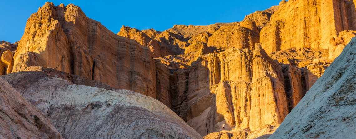
Vibrant colors at Golden Canyon

Location: Death Valley National Park Length: 2 miles roundtrip GPS Coordinates: N 36 25.24 W 116 50.812 Contact Information: Death Valley National Park P.O. Box 579 Death Valley, CA 92328 Golden Canyon is an easy hike, it can be only a 2-mile hike (roundtrip) to Red Cathedral Junction, or the hike can be longer, if you decide to continue to Gower Gulch or even Zabriskie Point. Very often tourists ask when the best time to hike Death Valley National Park is. We recommend hiking between October and April. Even in [...]

Dante's View 23

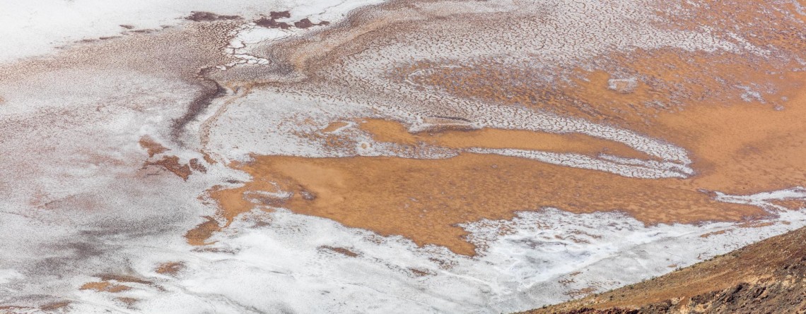
Hiking around Death Valley: Dante’s View

Location: Death Valley National Park Elevation gain: 250-300 ft GPS Coordinates: N 36 13.238 W 116 43.584 Dante’s View is a fabulous overlook that is considered one of the best high elevations and easily-accessible viewpoints in California.  This viewpoint is situated at the edge of the Black Mountains and provides gorgeous views of southern part of Death Valley National Park. This place is considered to be one of the most photogenic places in the entire National Park. Thirteen-mile road leads you to Dante’s View, be prepared [...]

Lookout Mountain Rd

Interesting facts about Lookout Mountain Road, Baker County, Oregon

Location: Baker County, Oregon Length: about 17 miles GPS Coordinates: N 44 28.491 W 117 20.478 Visitor’s Information Open: all year round No Pass Required Sometimes vanity and excessive pace of a big city is exhausting us so much that it seems nothing can please us any more, favorite work doesn't provide any sense of accomplishment, and even family brings to our life only irritation instead of joy and happiness... The main thing is to understand at the right time that it's a point in your life to [...]

Trail of Time 5

Breathtaking Trail of Time

Location:    Grand Canyon, South Rim Round Trip:    2,83 miles Difficulty:    Easy GPS Coordinates:    N 36 3.969 W 112 7.055 Visitor’s Information:    Open all year round, No Pass Required Magnificent and fascinating Grand Canyon astonished and attracted people for hundreds of years. But in spite of all uniqueness and incredible geologic history of Grand Canyon, there was no any program showing, teaching or explaining its geologic significance on a worldwide scale, until in 2007 Yavapai Observation station was rededicated as a Geology Museum, and [...]