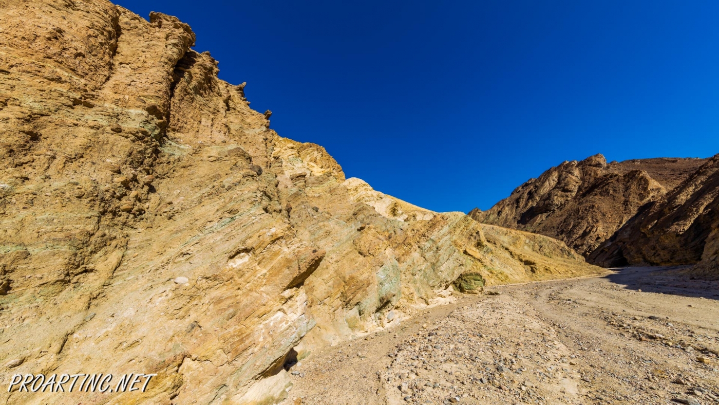
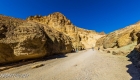
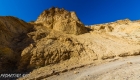
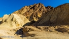
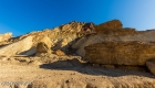
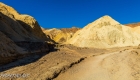
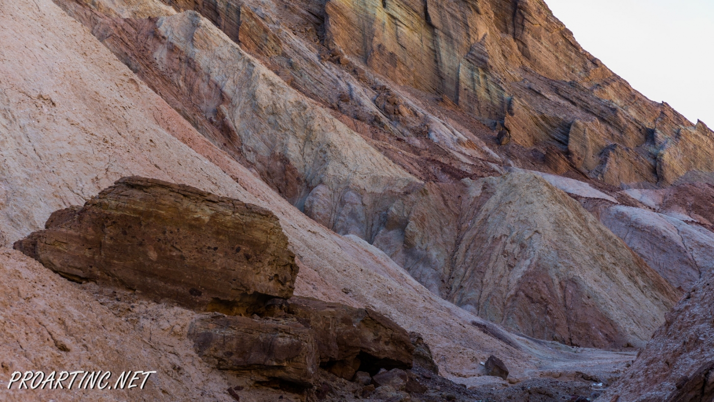
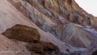
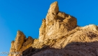
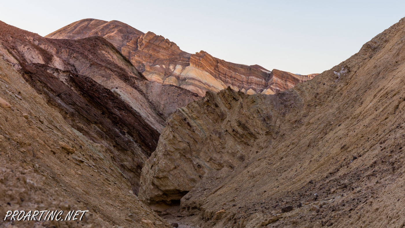
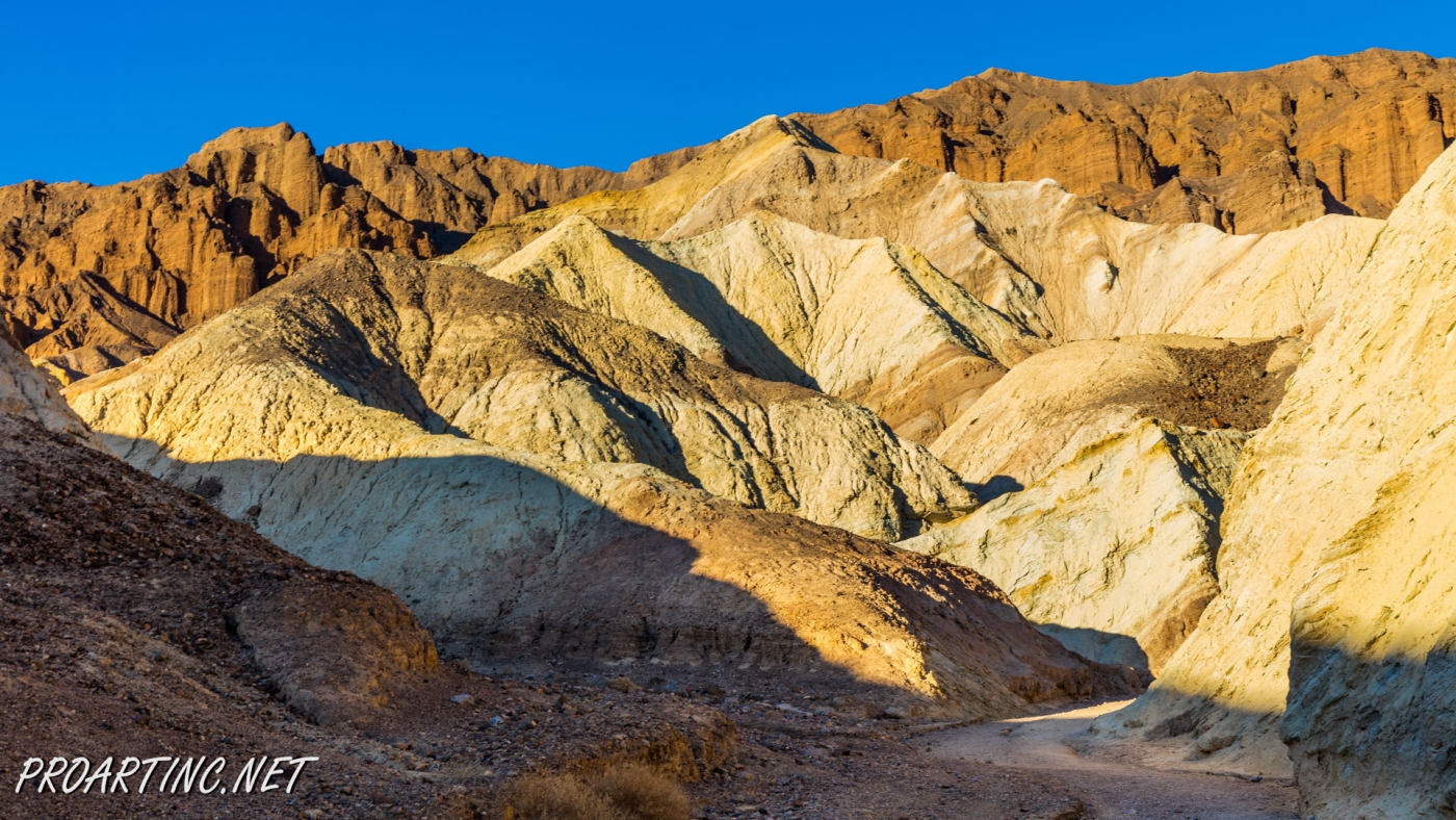
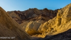
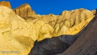
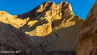
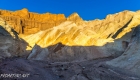
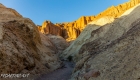
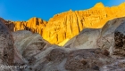
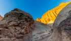
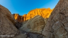
Vibrant colors at Golden Canyon


| Location: | Death Valley National Park |
| Length: | 2 miles roundtrip |
| GPS Coordinates: | N 36 25.24 W 116 50.812 |
| Contact Information: | Death Valley National Park P.O. Box 579 Death Valley, CA 92328 |
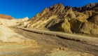
Golden Canyon is an easy hike, it can be only a 2-mile hike (roundtrip) to Red Cathedral Junction, or the hike can be longer, if you decide to continue to Gower Gulch or even Zabriskie Point.
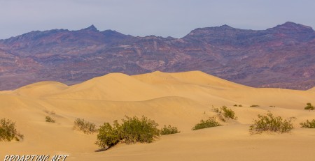
Very often tourists ask when the best time to hike Death Valley National Park is. We recommend hiking between October and April. Even in spring or in fall temperatures can be really high, especially in lower elevations.
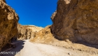
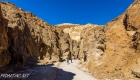
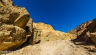
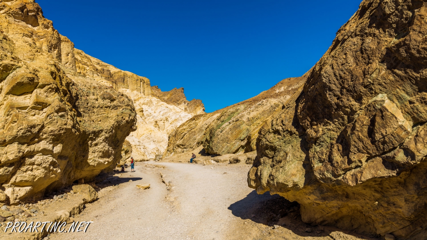
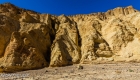
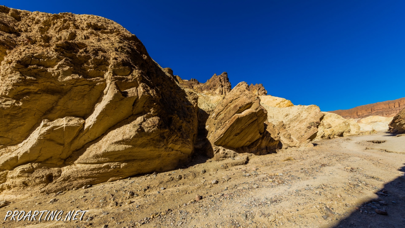
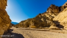
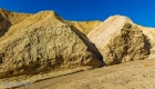
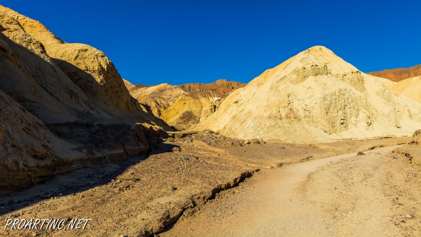
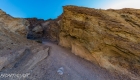
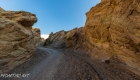
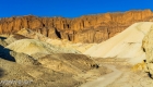
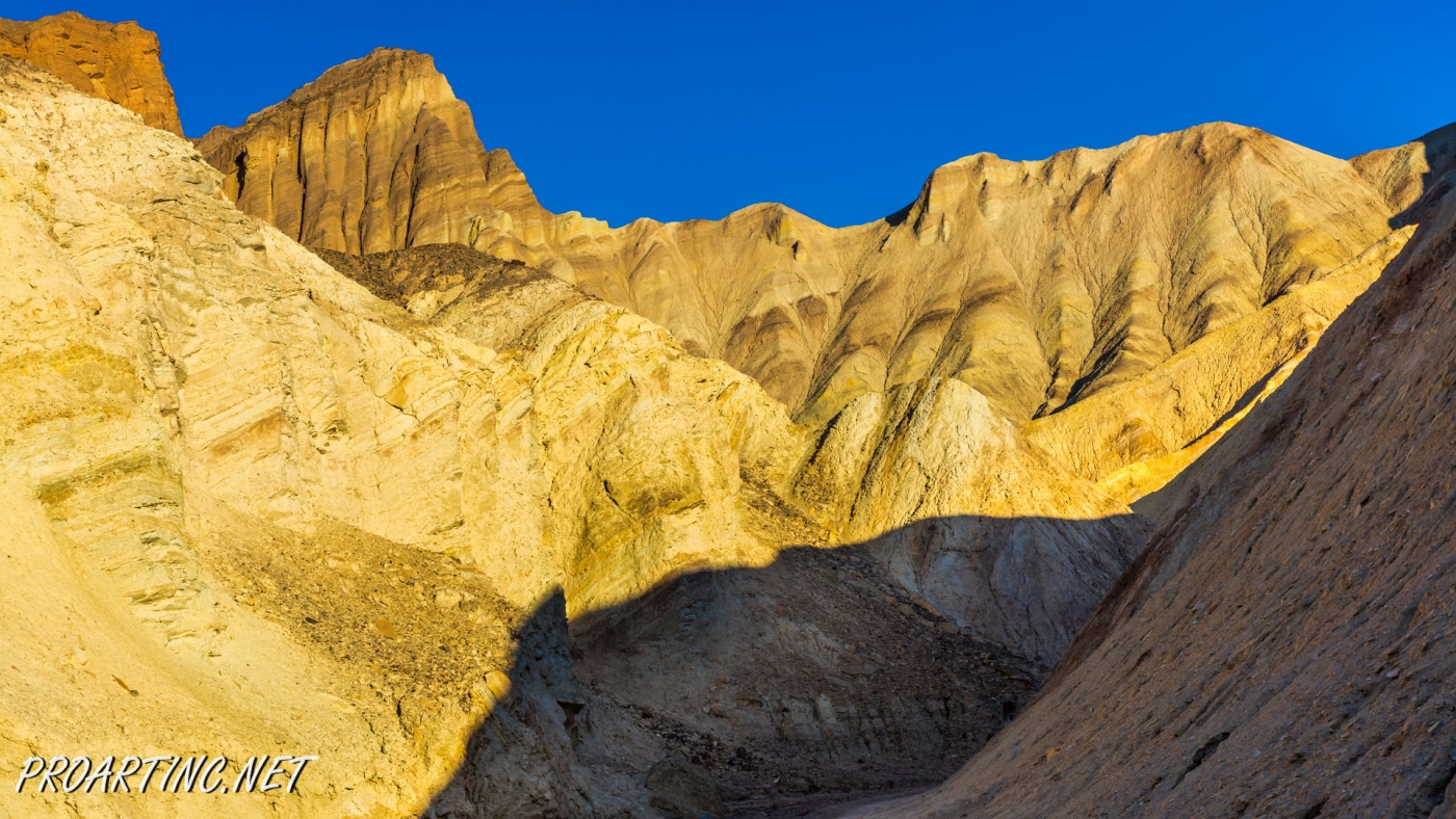
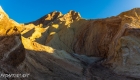
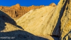
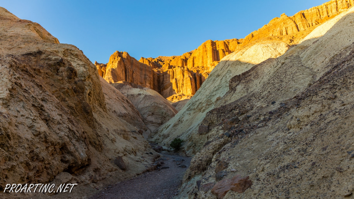
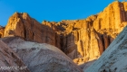
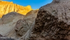
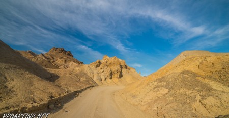
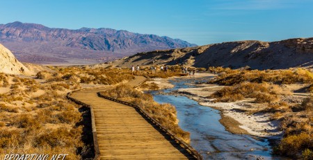
This beautiful trail offers colorful, splendid views of the canyon walls and the canyon itself. There are several options for a hike in Golden Canyon. Most hikers choose the path from the parking lot at Badwater Road to the Golden Canyon. You can stop and turn around whenever you want. The other option is to hike from the opposite side, from Zabriskie Point to Golden Canyon, but keep in mind that this option you can choose if someone drops you off and picks you up at the end of the trail.
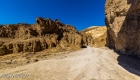
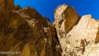
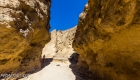
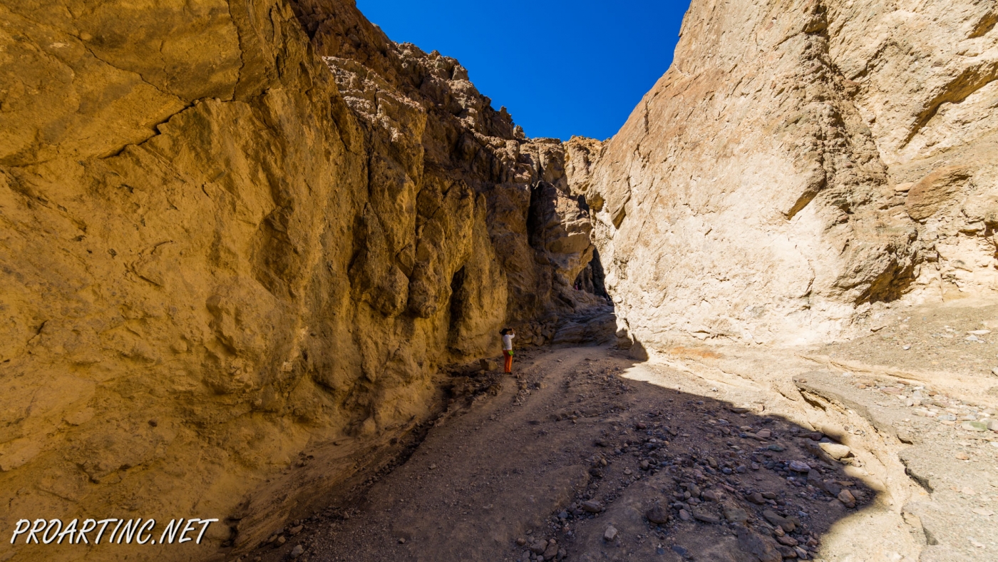
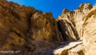
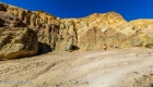
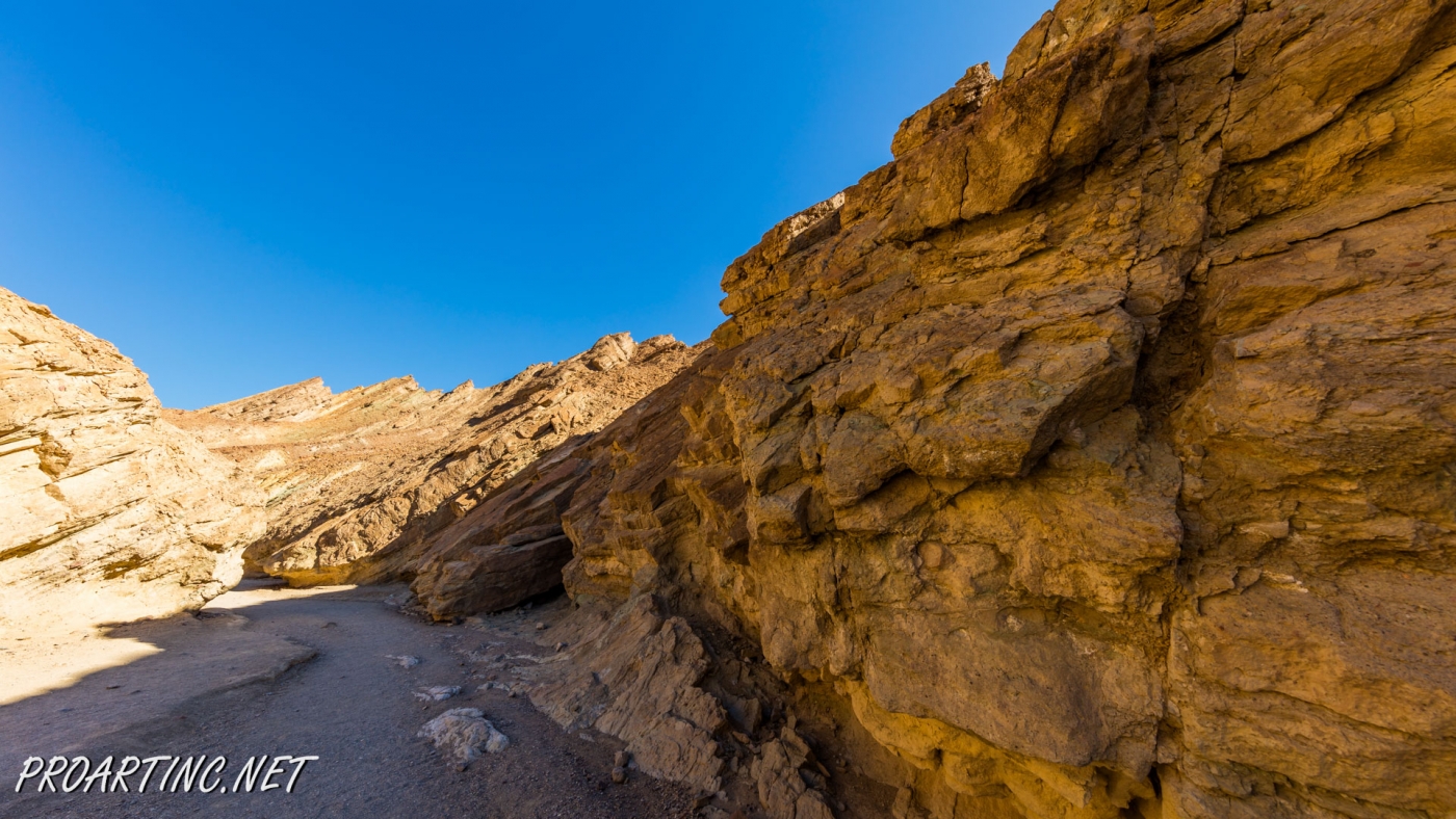
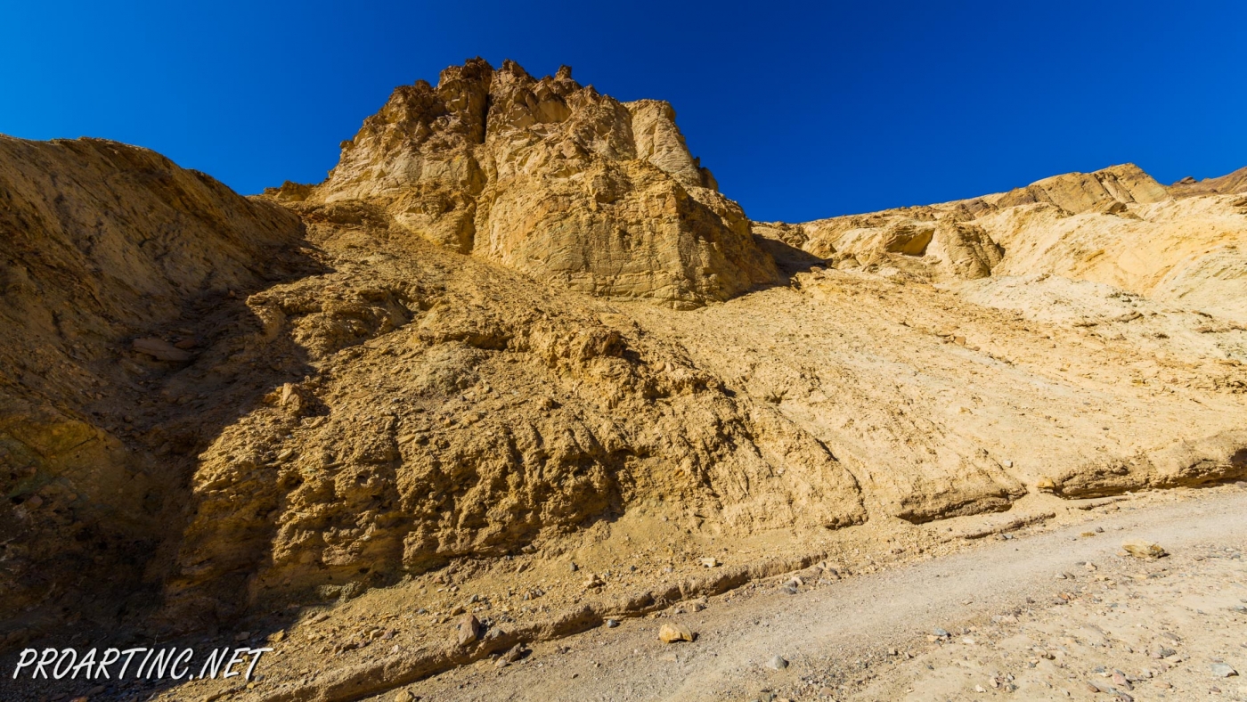
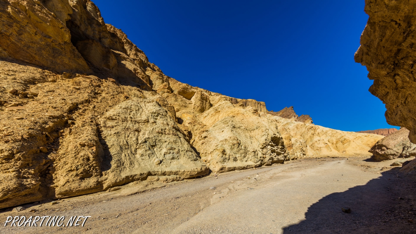
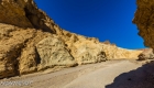
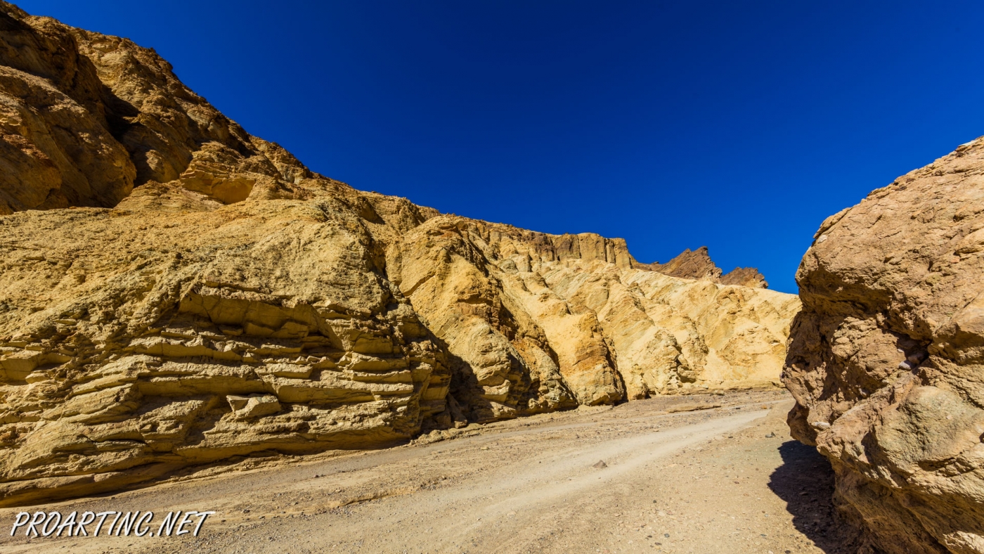
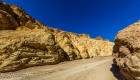
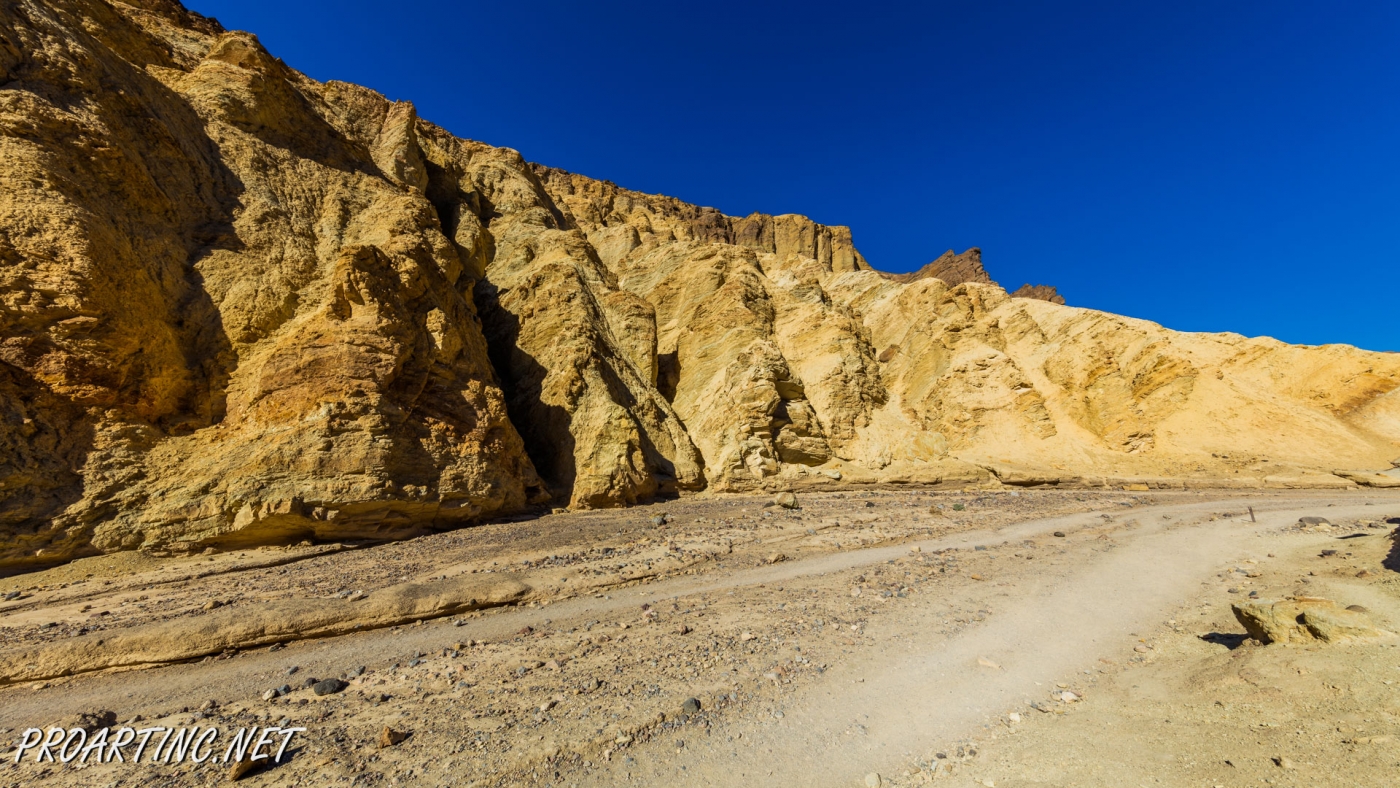
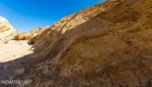
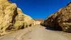
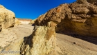
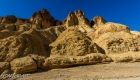
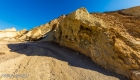
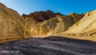
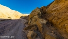
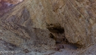
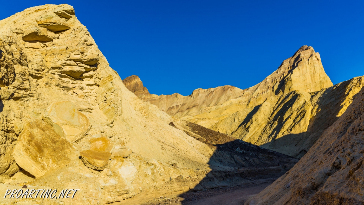
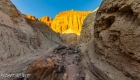
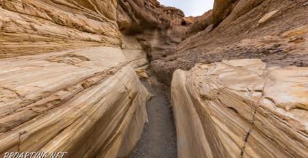
From the very beginning of the trail, hikers find themselves in the narrowest part of the canyon. We are sure that you will notice remnants of the road that was built in 1929. This was a paved road that led to the end of the canyon. But in 1976 five day February storm brought 2.37 inches of rain and these floods washed out the paved road. On the walls of the canyon you can observe the results of floods, but there were also years when there was no rain at all (1929, 1953 and 1989).
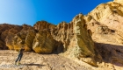
While hiking along Golden Canyon Trail, enjoy these fabulously bright golden-colored walls and fantastic landscape. Before going into the canyon to explore it, we also recommend visiting an informational center or kiosk and take a look at the important information and maps.
Don’t forget about water! Drink a lot of it!
Getting There
Near Furnace Creek Inn go south on Badwater Road for about 2.0 miles. Look for the sign and the paved parking area on your left. Restrooms are available at the end of the parking area. The trail begins just beyond the parking area and takes hikers directly into the canyon.
Photo: Roman Khomlyak
Photo Editing: Juliana Voitsikhovska
Information: Marina Petrova


Leave a Reply
You must be logged in to post a comment.