Tag - geology

Story in Stone Trail 24

Story in Stone Trail

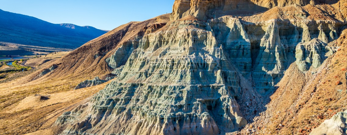
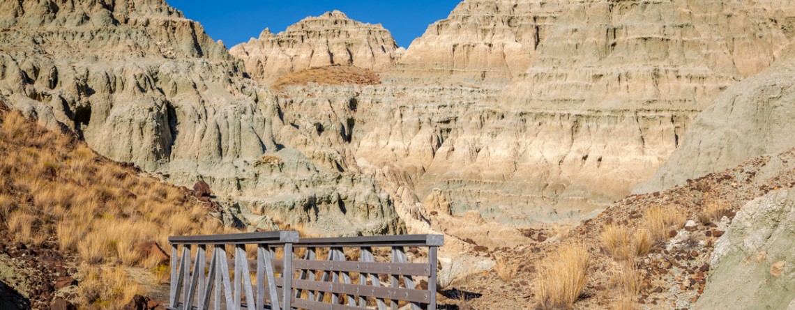
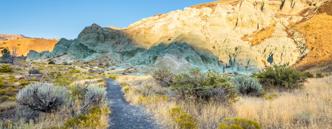
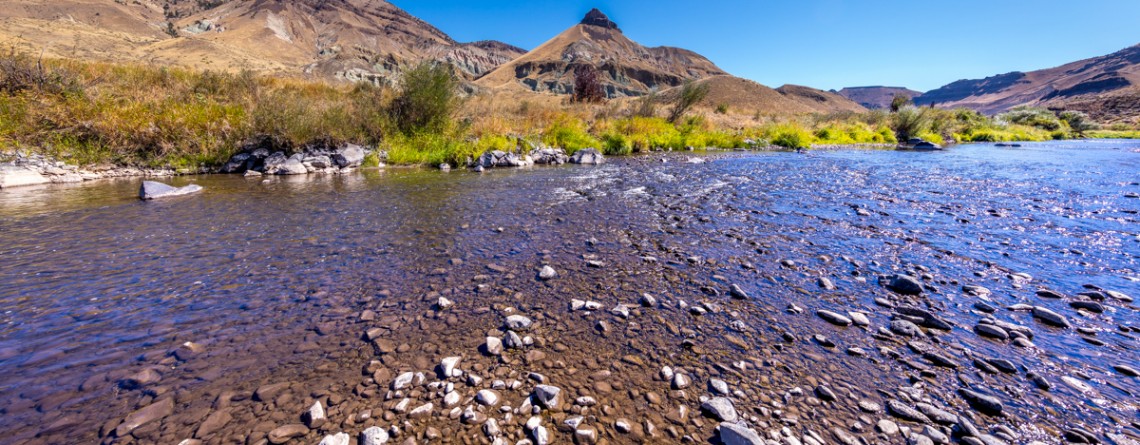
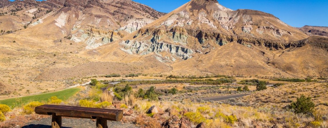
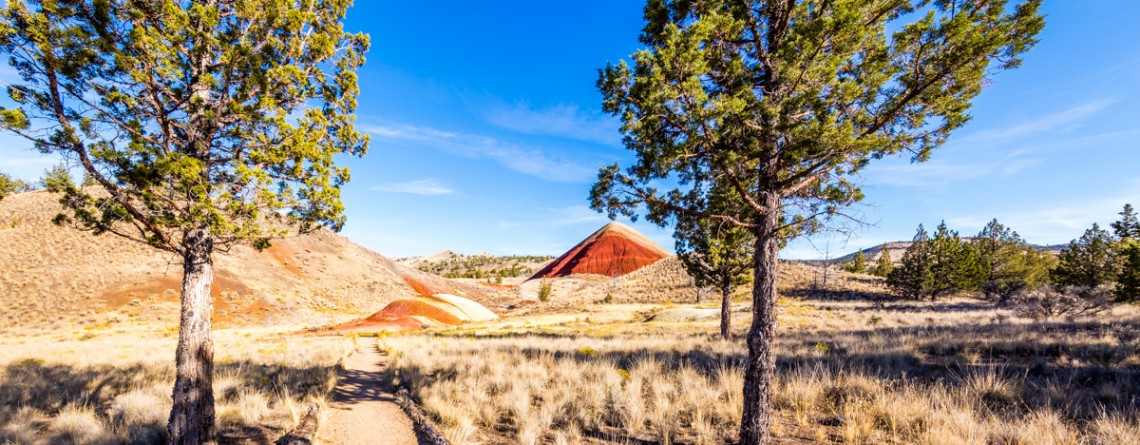
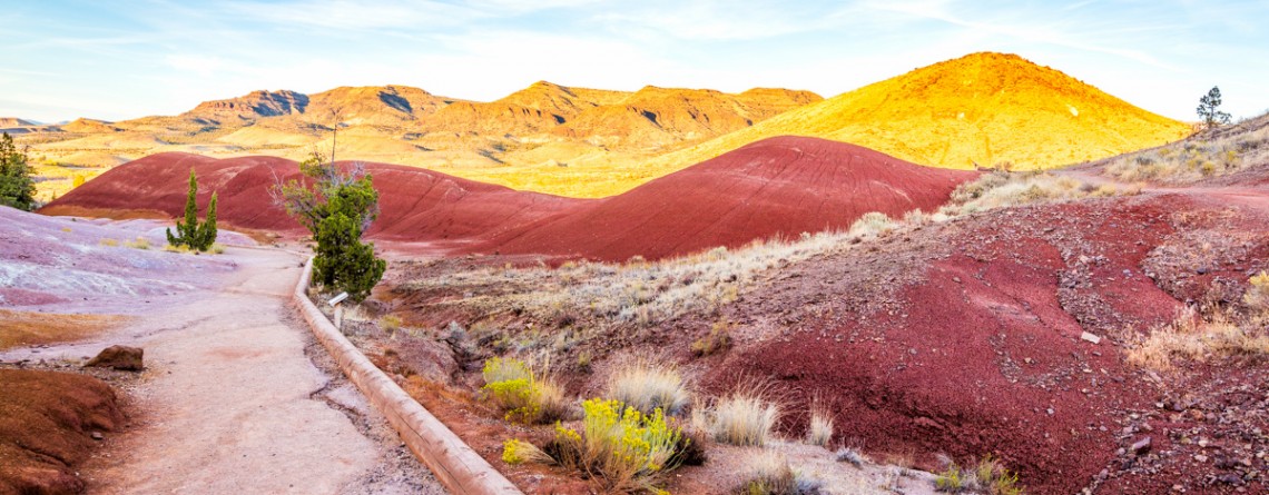
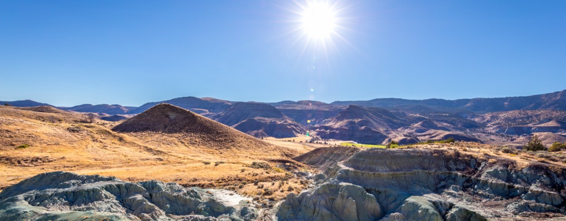
  Location: Sheep Rock Unit, John Day Fossil Beds National Monument, Oregon Roundtrip: 1/3 mile Difficulty: Easy Elevation Gain: 40 feet GPS Coordinates: N 44 39.126   W 119 38.407 Visitor’s Information Open: all year round No Pass Required   Foree Area is the northernmost section of Sheep Rock Unit, separated by some private lands from the main part of the Unit. The main tourist features of this area, except for the magnificent scenery of course, is a modest picnic area and two hiking trails – the Flood of Fire Trail and the Story in Stone Trail. Sharing [...]

Flood of Fire Trail 18

The beauty of Foree Area from the Flood of Fire Trail

    Location: Sheep Rock Unit, John Day Fossil Beds National Monument, Oregon Roundtrip: 0,4 mile Difficulty: Easy Elevation Gain: 50 feet GPS Coordinates: N 44 39.147   W 119 38.434 Visitor’s Information Open: all year round No Pass Required   Foree area is a part of the Sheep Rock Unit, but is located at some distance northwards from the rest of the Unit. You need to drive a little bit more than 7 miles north on Highway 19 from the Paleontology Center until you reach the right turn with the sign indicating the Picnic Area. [...]

Island in Time Trail 41

Island in Time Trail – a harkback to the past

  Location: Sheep Rock Unit, John Day Fossil Beds National Monument, Oregon Roundtrip: 1,3 mile Difficulty: Easy Elevation Gain: 220 feet GPS Coordinates: N 44 35.730 W 119 37.856 Visitor’s Information Open: all year round No Pass Required   Blue Basin is an incredible and unparalleled area of John Day Fossil Beds National Monument. At first glance you see only the beauty and unicity of landscape, the enchantment of the colors, but when you look deeper, you understand the whole historical importance of this place. Its paleontological significance cannot be overestimated. Starting from 1860s, when Thomas [...]

Blue Basin Overlook Trail 8

Blue Basin Overlook Trail of the Sheep Rock Unit

    Location: Sheep Rock Unit, John Day Fossil Beds National Monument, Oregon Roundtrip: 3,25 miles loop-trail Difficulty: Moderate Elevation Gain: 760 feet GPS Coordinates: N 44 35.730 W 119 37.856 Visitor’s Information Open: all year round No Pass Required   John Day Fossil Beds National Monument in Oregon can become a decoration of any journey. It's like a trip in a time machine to the distant past of the planet. And if you have interest in paleontology, it is definitely worth a look, although this national monument is located away from the beaten tourist trails, [...]

River Trail 42

Cant Ranch and a peacefully beautiful River Trail

  Location: Sheep Rock Unit, John Day Fossil Beds National Monument, Oregon Roundtrip: 0,6 miles Difficulty: Easy Elevation Gain: None GPS Coordinates: N 44 33.334   W 119 38.677 Visitor’s Information Open: all year round No Pass Required   Cant Ranch is the second “must-visit” place on your trip around the Sheep Rock Unit after Paleontology Center. It can be easily found as it is situated just across the street from the Center. The former house of Scottish immigrants - James Cant and his wife Elizabeth, which was built in 1917, serves now as a historical [...]

Thomas Condon Overlook Trail 19

The beauty of John Day River valley as seen from Thomas Condon Overlook Trail

  Location: Sheep Rock Unit, John Day Fossil Beds National Monument, Oregon Roundtrip: 0,25 miles Difficulty: Easy Elevation Gain: 40 feet GPS Coordinates: N 44 33.101   W 119 38.759 Visitor’s Information Open: all year round No Pass Required   If you chose John Day Fossil Beds (JDFB) National Monument as your next trip destination, you may plan the exploration of this unique source of geologic history study starting from any of 3 units, it is made-up of (Clarno Unit, Painted Hills Unit, Sheep Rock Unit). But to our opinion the best way to start [...]

Fountain Paint Pots 23

Fountain Paint Pots in Yellowstone National Park

Location: Yellowstone National Park, Lower Geyser Basin Length: 0.7 miles GPS Coordinates: N 44 32.913 W 110 48.433 The Fountain Paint Pots Area is a must-visit destination in Yellowstone National Park that offers to explore all four kinds of geothermal features. Visitors will find here geysers, hot springs, pools, a fumarole and famous Fountain Paint Pot. The trail, leading to these geothermal features is an easy 0.7-mile trail, is good for all skill levels, and is accessible May-September. The Fountain Paint Post area [...]

Boiling River Trail 34

Boiling River Trail

Location: Yellowstone National Park, Mammoth Hot Springs Length: 025 mile GPS Coordinates: N 44 59.557 W 110 41.496 Boiling River Trail is an interesting must-see and try destination in the Yellowstone National Park. A short 1.25-mile trail will take you to the Boiling River, a place where a large hot spring enters the Gardner River. The cold and hot water mixes here and becomes warm for bathing. Wear your bathing suit and enjoy this remarkable hot spring tub! Yellowstone’s Boiling River is located [...]

Artist Point, Yellowstone National Park 18

Artist Point on the Grand Canyon of the Yellowstone National Park

Location: Yellowstone National Park, Grand Canyon, South Rim Length: 0.1 mile GPS Coordinates: N 44 43.178 W 110 28.829 Artist Point on the Grand Canyon in the Yellowstone National Park offers fabulous views of the Yellowstone River and gorgeous canyons of light yellow and orange colors. Enjoy the views of the famous Lower Falls. It is truly a must-see and must-visit place in Yellowstone. The Grand Canyon itself is about 20 miles long; it was approximately measured from the Upper Falls to Tower Fall [...]

Mosaic Canyon 16

Real Marble at Mosaic Canyon, Death Valley National Park

Location: Death Valley National Park, Stovepipe Wells Area Length: ½ - 2 miles GPS Coordinates: N 36 34.324 W 117 8.667 Contact Information: Death Valley National Park P.O. Box 579 Death Valley, CA 92328 Mosaic Canyon is one of the most scenic and beautiful sights in Death Valley national Park. The short trail will take you through the narrow canyon with high polished walls. Numerous floods have polished the marble walls and multicolored rock formations. Tourists will enjoy this hike with numerous opportunities to explore smooth marble walls. Mosaic Canyon [...]

Red Scar Knoll Trail 16

Red Scar Knoll Trail – the Beauty of Oregon’s Desert

Location: Painted Hills Unit, John Day Fossil Beds National Monument, Oregon Round Trip: 0,5 miles Difficulty: Easy Elevation Gain: Minimal GRS Coordinates: N 44 38.137 W 120 17.555 Visitor’s Information Open: all year round No Pass Required Amazingly beautiful Painted Hills Unit of the Oregon’s John Day Fossil Beds National Monument can fairly be called a natural wonder. Its uniqueness, astonishing colors and stunning undulating forms will make you to feel like you are visiting a Fairyland or another planet (hiking the Painted Cove Trail will surely give you the sensation of a spaceman [...]

Painted Cove Trail 12

Unforgettable Experience with the Painted Cove Trail

Location: Painted Hills Unit, John Day Fossil Beds National Monument, Oregon Round Trip: 0,25 miles Difficulty: Easy Elevation Gain: 40 feet GRS Coordinates: N 44 39.723 W 121 43.278 Visitor’s Information Open: all year round No Pass Required Driving approximately 9 miles northwest from the town of Mitchell, Oregon, will bring you to the most beautiful, in our opinion, part of the John Day Fossil Beds National Monument – to Painted Hills Unit. The vibrant colors of its hills, the unreal beauty of its unique picturesque landscape draw the attention of people from [...]

Natural Bridge Canyon Trail 17

Gorgeous Arch at Natural Bridge Canyon

Location: Death Valley National Park Length: 2 miles roundtrip GPS Coordinates: N 36 16.872 W 116 46.193 Natural Bridge Canyon Trail is one of the most popular in the Death Valley National Park. It is situated closely to Furnace Creek and is not very long. Only a 15-minute hike from the parking lot will take you to a 50-foot-high natural bridge. This arch is a result of erosion, and a great example of how it can create really huge holes in the stones. Natural Bridge Canyon [...]