Tag - hiking trail

Heron Pond / Swan Lake Loop 16

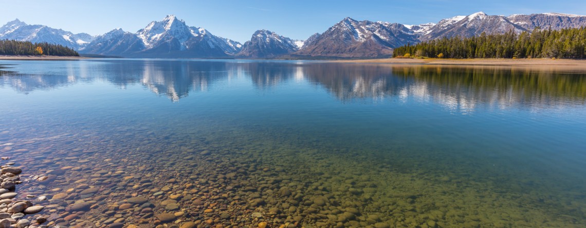
Heron Pond / Swan Lake Loop Trail of Grand Teton National Park

    Location: Grand Teton National Park, Wyoming Length: 3 miles Difficulty: Easy Elevation gain: 300 feet GPS coordinates: N 43 54.031   W 110 38.533   Grand Teton National Park is special among all US national parks. Most of its rivers and lakes got their names as a result of expeditions in 1872. It is also the only national park of all, where there is an airport. The numerous lakes of the park attract a great diversity of waterfowl, and the height and beauty of its [...]

The Watchman Trail 6

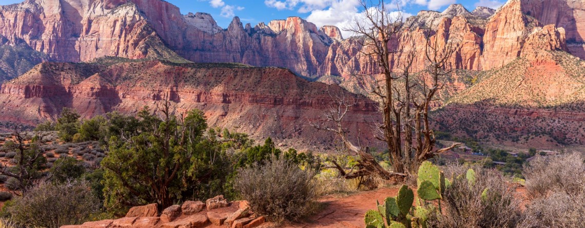
Unforgettable Views of the Watchman Trail

Location: Zion National Park, Utah Length: 3 miles (with the loop at the end of the trail) Ascent: 300 feet Difficulty: Easy GPS Coordinates:  N 37 12.083   W 112 59.186   The start of this 3-mile long trail can be found near the Visitor’s Center, you just need to cross the Route 9 to find yourself at its trailhead. It is interesting that regardless of its proximity to Park’s South Entrance, this trail is missed by lots of visitors, who prefer more popular routes like [...]

Story in Stone Trail 24

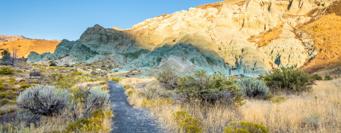
Story in Stone Trail

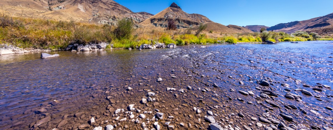
  Location: Sheep Rock Unit, John Day Fossil Beds National Monument, Oregon Roundtrip: 1/3 mile Difficulty: Easy Elevation Gain: 40 feet GPS Coordinates: N 44 39.126   W 119 38.407 Visitor’s Information Open: all year round No Pass Required   Foree Area is the northernmost section of Sheep Rock Unit, separated by some private lands from the main part of the Unit. The main tourist features of this area, except for the magnificent scenery of course, is a modest picnic area and two hiking trails – the Flood of Fire Trail and the Story in Stone Trail. Sharing [...]

Flood of Fire Trail 18

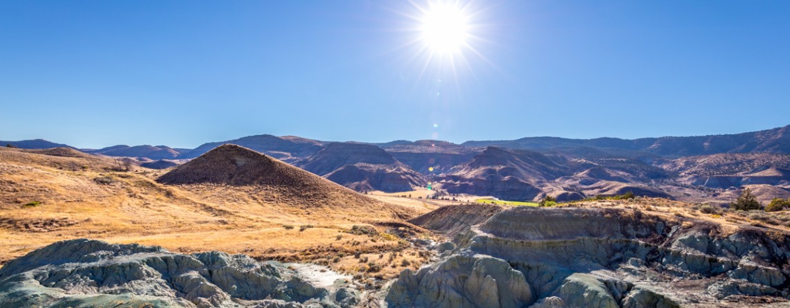
The beauty of Foree Area from the Flood of Fire Trail

    Location: Sheep Rock Unit, John Day Fossil Beds National Monument, Oregon Roundtrip: 0,4 mile Difficulty: Easy Elevation Gain: 50 feet GPS Coordinates: N 44 39.147   W 119 38.434 Visitor’s Information Open: all year round No Pass Required   Foree area is a part of the Sheep Rock Unit, but is located at some distance northwards from the rest of the Unit. You need to drive a little bit more than 7 miles north on Highway 19 from the Paleontology Center until you reach the right turn with the sign indicating the Picnic Area. [...]

Blue Basin Overlook Trail 8

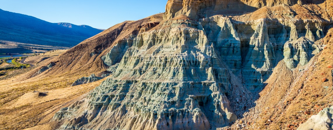
Blue Basin Overlook Trail of the Sheep Rock Unit

    Location: Sheep Rock Unit, John Day Fossil Beds National Monument, Oregon Roundtrip: 3,25 miles loop-trail Difficulty: Moderate Elevation Gain: 760 feet GPS Coordinates: N 44 35.730 W 119 37.856 Visitor’s Information Open: all year round No Pass Required   John Day Fossil Beds National Monument in Oregon can become a decoration of any journey. It's like a trip in a time machine to the distant past of the planet. And if you have interest in paleontology, it is definitely worth a look, although this national monument is located away from the beaten tourist trails, [...]

River Trail 42

Cant Ranch and a peacefully beautiful River Trail

  Location: Sheep Rock Unit, John Day Fossil Beds National Monument, Oregon Roundtrip: 0,6 miles Difficulty: Easy Elevation Gain: None GPS Coordinates: N 44 33.334   W 119 38.677 Visitor’s Information Open: all year round No Pass Required   Cant Ranch is the second “must-visit” place on your trip around the Sheep Rock Unit after Paleontology Center. It can be easily found as it is situated just across the street from the Center. The former house of Scottish immigrants - James Cant and his wife Elizabeth, which was built in 1917, serves now as a historical [...]

Canyon Overlook 13

Canyon Overlook Trail at Zion National Park

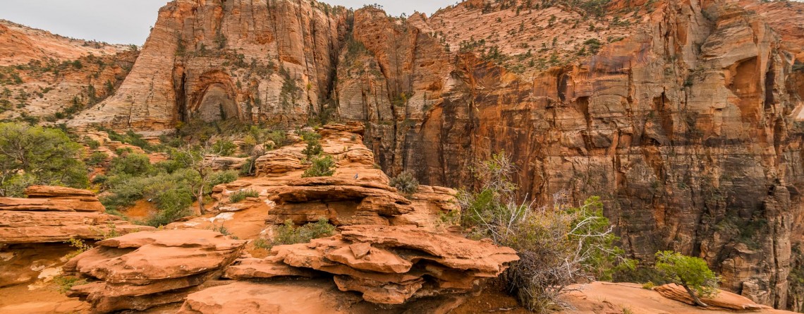
Location: Zion National Park, Utah Length: 1 mile roundtrip GPS coordinates: N37 12.798 W112 56.440 If you have never been to Zion National Park and during your first limit you are limited in time and cannot see the whole national park, that Canyon Overlook Trail is just a must visit for you! This short trail with the length of approximately 1 mile (roundtrip) will take you only about one hour to hike it, but it will endow you with inexpressible impressions and unforgettable [...]

River Trail 27

Amazing River Trail at Smith Rock State Park

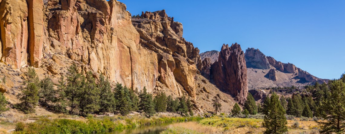
Address: Terrebonne, OR 97760, United States Phone number: 541-548-7501 Length: 0.68 miles GPS Coordinates: N 44 21.952 W 121 08.233 Information Center: Crooked River National Grassland, 274 SW 4th Street, Madras, OR River Trail is an extremely easy picturesque trail, especially popular and often visited by families with kids and various age visitors, who are eager to enjoy all the beauty of Smith Rock State Park without climbing the strenuous trails, preferring a pleasant saunter at a leisurely pace. To find to the River Trail from the [...]

Salt Creek Interpretive Trail 21

Salt Creek Interpretive Trail. Incredible life in salty water.

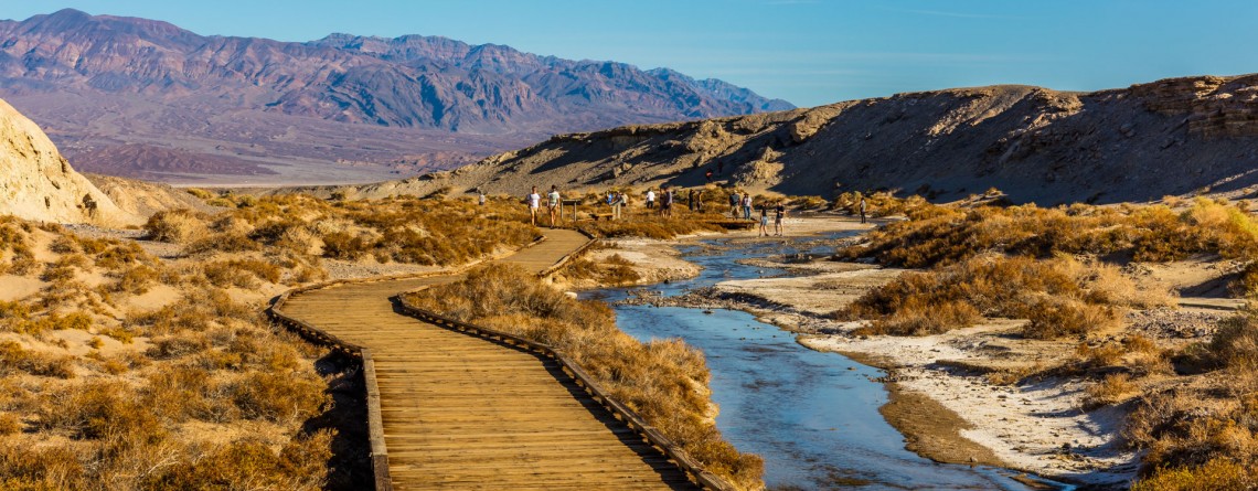
Location: Death Valley National Park, Stovepipe Wells Area Length: ½ mile GPS Coordinates: N 36 35.436 W 116 59.433 Contact Information: Death Valley National Park P.O. Box 579 Death Valley, CA 92328 Salt Creek is a wonderful place in the Death Valley National Park. It is very unusual, because it’s hard to believe that in the desert you will find a real oasis full of life. If we talk about the trail itself, it is considered to be well-maintained and covered with wood boards. It’s not even a trail for [...]

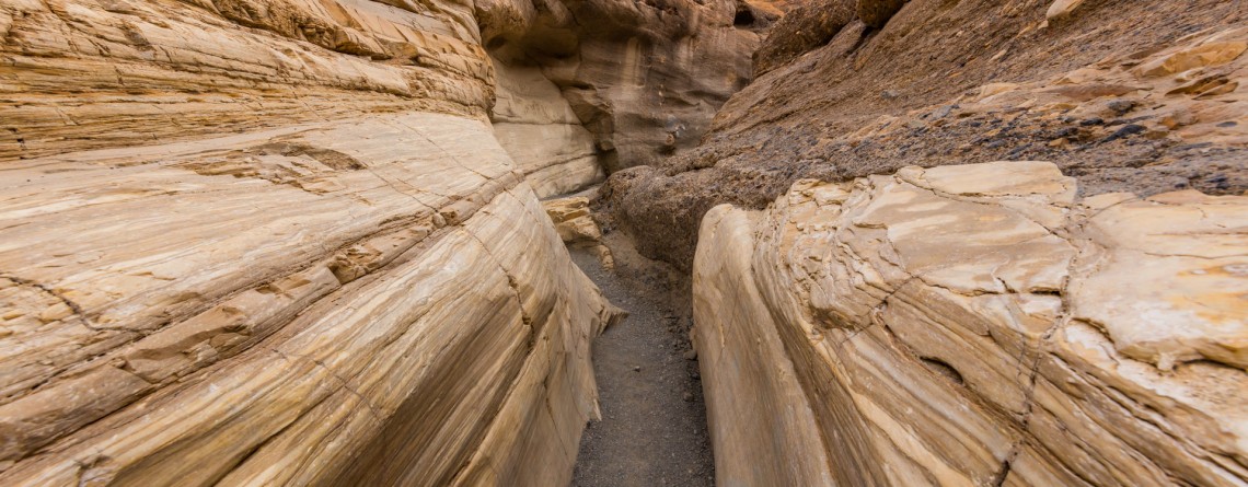
Mosaic Canyon 16

Real Marble at Mosaic Canyon, Death Valley National Park

Location: Death Valley National Park, Stovepipe Wells Area Length: ½ - 2 miles GPS Coordinates: N 36 34.324 W 117 8.667 Contact Information: Death Valley National Park P.O. Box 579 Death Valley, CA 92328 Mosaic Canyon is one of the most scenic and beautiful sights in Death Valley national Park. The short trail will take you through the narrow canyon with high polished walls. Numerous floods have polished the marble walls and multicolored rock formations. Tourists will enjoy this hike with numerous opportunities to explore smooth marble walls. Mosaic Canyon [...]

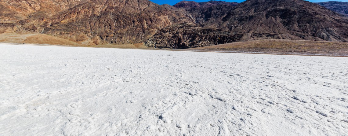
Badwater Salt Flats 24

White Salt Flats of Badwater

Location: Death Valley National Park Length: 2 miles roundtrip GPS Coordinates: N 36 13.79 W 116 46.035 Contact Information: Death Valley National Park P.O. Box 579 Death Valley, CA 92328 Badwater Basin is an endorheic basin known as the lowest point in North America. Its elevation is 282 ft below sea level. The name to the area was given thanks to the spring-fed pool of “bad water”, the salt make this water undrinkable. Actually, this water is four times saltier than the water in the ocean. Although, the water in [...]

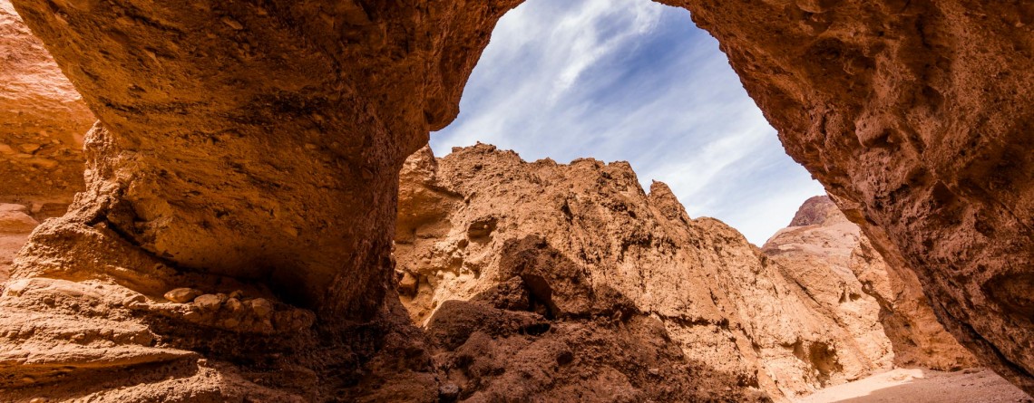
Natural Bridge Canyon Trail 17

Gorgeous Arch at Natural Bridge Canyon

Location: Death Valley National Park Length: 2 miles roundtrip GPS Coordinates: N 36 16.872 W 116 46.193 Natural Bridge Canyon Trail is one of the most popular in the Death Valley National Park. It is situated closely to Furnace Creek and is not very long. Only a 15-minute hike from the parking lot will take you to a 50-foot-high natural bridge. This arch is a result of erosion, and a great example of how it can create really huge holes in the stones. Natural Bridge Canyon [...]