Tag - California

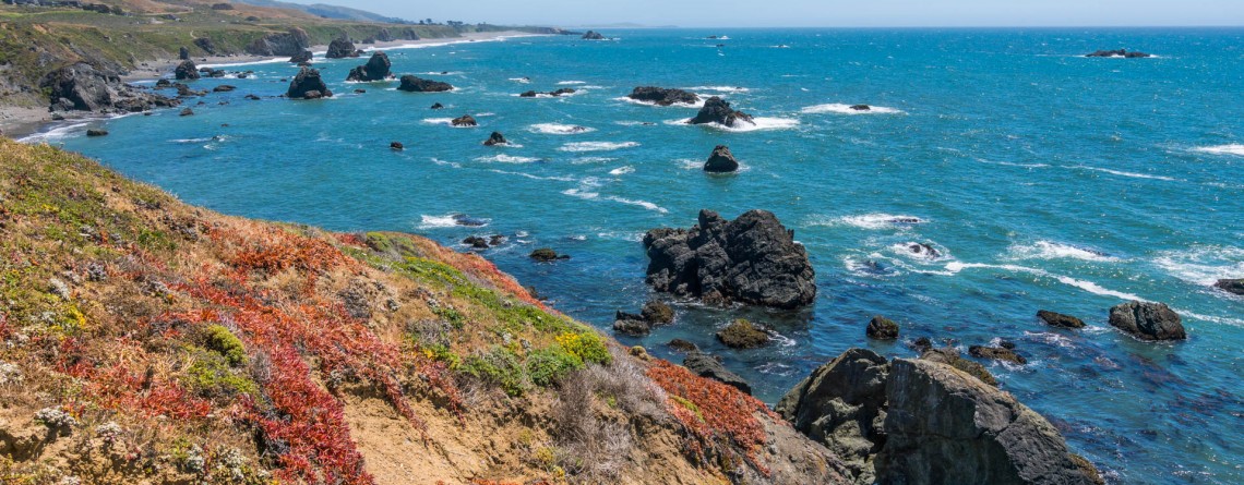
Sonoma Coast State Park 27

Sonoma Coast State Park – an incredible place you’ll never forget

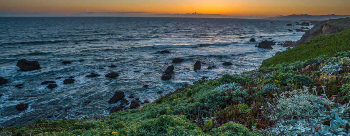
  Address: 3095 Highway 1 Bodega Bay, CA 94923 Phone: (707) 875-3483 Acreage: 10,000 GPS Coordinates: N 38 24.310 W 123 05.867 If you want to enjoy the fullness of beauty and uniqueness of the northern Californian Coast, Sonoma Coast State Park is just the right place for this. Spreading out its land of more than 10,000 acres on the 17 miles of Pacific coastline, this park boasts breathtaking scenery of the majestic ocean and incredible beaches which are quite diverse in their appearance. [...]

Kortum Trail 17

Kortum Trail – enjoy the beauty of the Pacific Coastline

  Location: Sonoma Coast State Park, California Length: 8 miles (roundtrip) Difficulty: Easy Elevation Gain: 300 feet (at the northern section, going from Shell Beach to Goat Rock) GPS Coordinates: N 38 24.310 W 123 05.867 Kortum Trail is the best option to get acquainted with the “coastal part” of Sonoma Coast State Park. Being the longest trail of the park, it runs for about 4 miles from the Wright’s Beach on the south up to the Blind Beach on the north. The trail was [...]

Jedediah Smith Redwoods State Park Campground 5

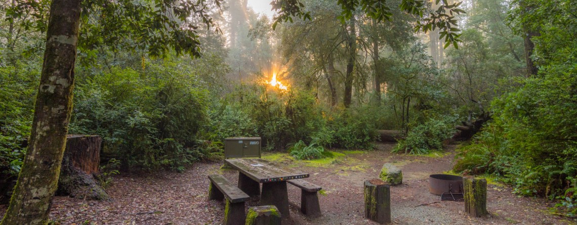
Jedediah Smith Redwoods State Park Campground

  Location: Jedediah Smith Redwoods State Park, California Address: 1111 Second Street, Crescent City, CA 95531 Phone for reservation: 800-444-7275  or at website of Reserve America Open Season: Year round (high season May 15th – September 30th) Vehicle Length Limit: 36-foot RV or 31-foot trailer GPS Coordinates: N 41 47.884 W 124 05.074 While exploring an outstanding JSRSP don’t miss a chance to spend a night under the canopy of the incredible gigantic redwood trees for the abundance of which this park is famous. Jedediah Smith Redwoods [...]

Boy Scout Tree Trail 3

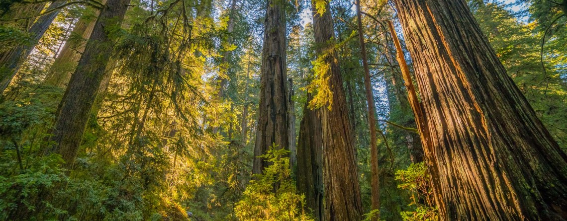
Boy Scout Tree Trail – an incredible journey amidst titanic trees

  Location: Jedediah Smith Redwoods State Park, California Length: 5,3 miles Difficulty: Moderate Elevation gain: 750 feet GPS coordinates: N 41 46.098 W124 06.624 A beautiful Jedediah Smith Redwoods State Park (or Jed Smith, as it is called among the hikers), is the northern section of the Redwood National and State Parks, containing 7% of the primeval redwood forests, which are left in the whole world. And the ultimate way to get a deep feel of this amazing place is to hike the Boy Scout Tree Trail. Nowadays [...]

Badwater Road 4

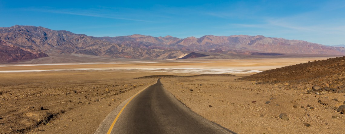
Scenic Drive along Badwater Road

Location: Death Valley National Park Length: 45.2 miles GPS Coordinates: N36 26.999 W116 51.076 (Furnace Creek Inn) Contact Information: Death Valley National Park P.O. Box 579 Death Valley, CA 92328 Badwater Road is one of the main roads in Death Valley National Park. It is very popular because leads to the most popular attractions, including Artist Palette, Devil’s Golf Course, etc.  Badwater Road is a wonderful drive to Badwater basin, the lowest point in North America with an elevation of 282 ft below sea level. This road is paved [...]

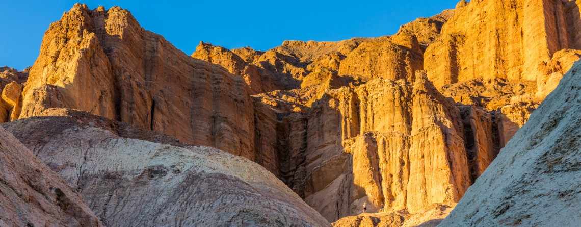
Golden Canyon 53

Vibrant colors at Golden Canyon

Location: Death Valley National Park Length: 2 miles roundtrip GPS Coordinates: N 36 25.24 W 116 50.812 Contact Information: Death Valley National Park P.O. Box 579 Death Valley, CA 92328 Golden Canyon is an easy hike, it can be only a 2-mile hike (roundtrip) to Red Cathedral Junction, or the hike can be longer, if you decide to continue to Gower Gulch or even Zabriskie Point. Very often tourists ask when the best time to hike Death Valley National Park is. We recommend hiking between October and April. Even in [...]

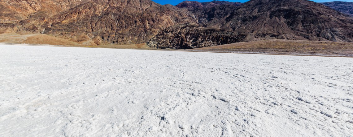
Badwater Salt Flats 24

White Salt Flats of Badwater

Location: Death Valley National Park Length: 2 miles roundtrip GPS Coordinates: N 36 13.79 W 116 46.035 Contact Information: Death Valley National Park P.O. Box 579 Death Valley, CA 92328 Badwater Basin is an endorheic basin known as the lowest point in North America. Its elevation is 282 ft below sea level. The name to the area was given thanks to the spring-fed pool of “bad water”, the salt make this water undrinkable. Actually, this water is four times saltier than the water in the ocean. Although, the water in [...]

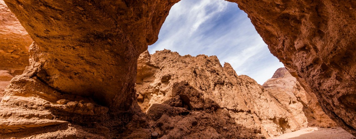
Natural Bridge Canyon Trail 17

Gorgeous Arch at Natural Bridge Canyon

Location: Death Valley National Park Length: 2 miles roundtrip GPS Coordinates: N 36 16.872 W 116 46.193 Natural Bridge Canyon Trail is one of the most popular in the Death Valley National Park. It is situated closely to Furnace Creek and is not very long. Only a 15-minute hike from the parking lot will take you to a 50-foot-high natural bridge. This arch is a result of erosion, and a great example of how it can create really huge holes in the stones. Natural Bridge Canyon [...]

Dante's View 23

Hiking around Death Valley: Dante’s View

Location: Death Valley National Park Elevation gain: 250-300 ft GPS Coordinates: N 36 13.238 W 116 43.584 Dante’s View is a fabulous overlook that is considered one of the best high elevations and easily-accessible viewpoints in California.  This viewpoint is situated at the edge of the Black Mountains and provides gorgeous views of southern part of Death Valley National Park. This place is considered to be one of the most photogenic places in the entire National Park. Thirteen-mile road leads you to Dante’s View, be prepared [...]

Zabriskie Point 15

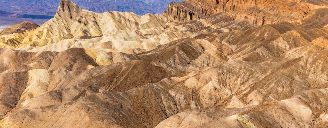
Dramatic views and geological history – Zabriskie Point, Death Valley National Park

Location:    Death Valley National Park, Furnace Creek Area Round Trip:    2.9 miles from Golden Canyon GPS Coordinates:    N 36 25.258 W 116 48.578 Death Valley National Park is a 3.4 million acre park that is the largest park in the contiguous states of the USA.  This unusual valley is surrounded by steep mountain ranges. There are the Panamint Mountains to the west, and the Black, Funeral, and Grapevine Mountains to the east. Its highest point is Telescope Peak, at 11,049 feet. Death Valley [...]