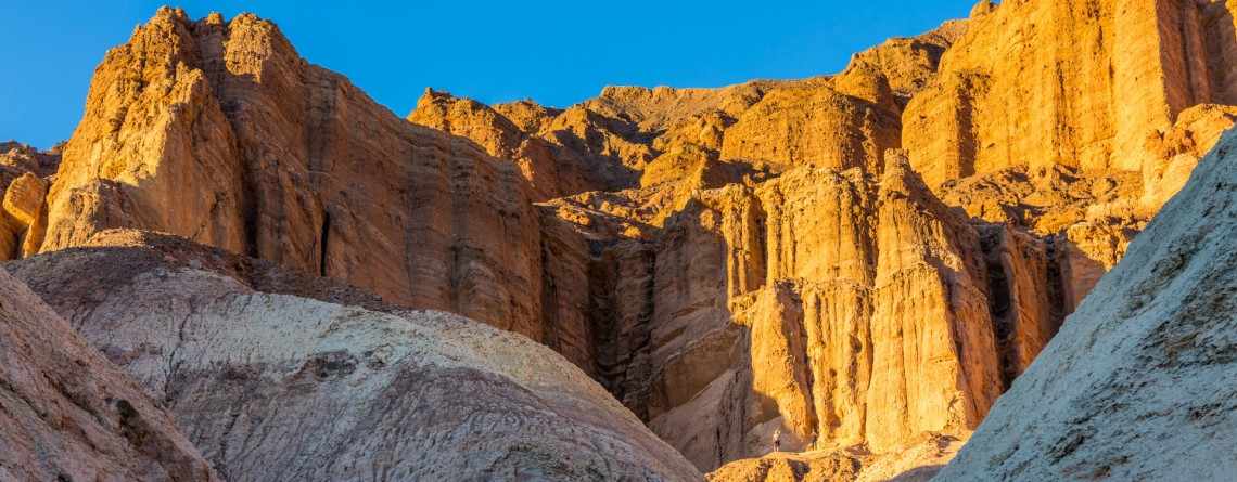
Tag - Death Valley photography

Twenty Mule Team Canyon Road 24

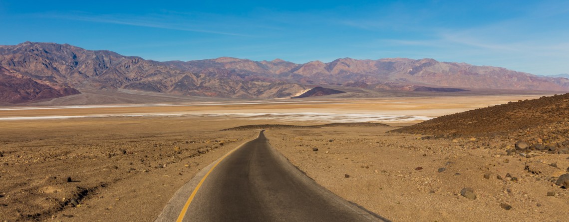
Scenic Drive along 20 Mule Team Canyon Road

  Location: Death Valley National Park, CA Length: 2,8 miles GPS Coordinates: N 36 24.570  W 116 47.680 Contact Information: Death Valley National Park P.O. Box 579 Death Valley, CA 92328   One of the best-known “historic symbols” of Death Valley is the Twenty Mule Teams. Such “teams” were comprised of 18 mules and 2 horses, pulling huge wagons filled with borax, bringing it from mines located in Furnace Creek area to the railhead which was at that time near Mojave. That was an exhausting trip which lasted for 10 days, [...]

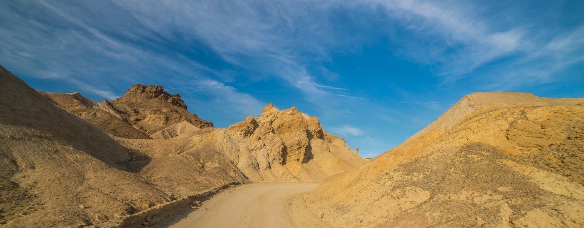
Salt Creek Interpretive Trail 21

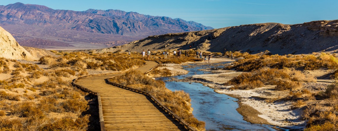
Salt Creek Interpretive Trail. Incredible life in salty water.

Location: Death Valley National Park, Stovepipe Wells Area Length: ½ mile GPS Coordinates: N 36 35.436 W 116 59.433 Contact Information: Death Valley National Park P.O. Box 579 Death Valley, CA 92328 Salt Creek is a wonderful place in the Death Valley National Park. It is very unusual, because it’s hard to believe that in the desert you will find a real oasis full of life. If we talk about the trail itself, it is considered to be well-maintained and covered with wood boards. It’s not even a trail for [...]

Mesquite Falls Sand Dunes 46

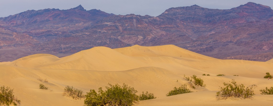
Unusual Mesquite Flat Sand Dunes – Death Valley National Park

Location: Death Valley National Park Length: No trail GPS Coordinates: N 36 36.372 W 117 6.904 Contact Information: Death Valley National Park P.O. Box 579 Death Valley, CA 92328 Mesquite Flat Sand Dunes are beautiful and the most accessible sand dunes in Death Valley. Though they are not the tallest, they are very popular among tourists. The largest dune is called Star Dune. The highest dune rises about 100 feet, but these dunes cover massive territory, but it’s only one percent of the Death Valley that is covered with [...]

Badwater Road 4

Scenic Drive along Badwater Road

Location: Death Valley National Park Length: 45.2 miles GPS Coordinates: N36 26.999 W116 51.076 (Furnace Creek Inn) Contact Information: Death Valley National Park P.O. Box 579 Death Valley, CA 92328 Badwater Road is one of the main roads in Death Valley National Park. It is very popular because leads to the most popular attractions, including Artist Palette, Devil’s Golf Course, etc.  Badwater Road is a wonderful drive to Badwater basin, the lowest point in North America with an elevation of 282 ft below sea level. This road is paved [...]

Devil's Golf Course 18

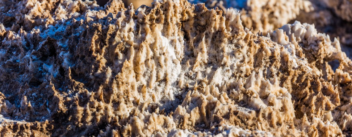
Devil’s Golf Course – Alien Views and Landscape

Location: Death Valley National Park Length: It can be as long as you want (there is no a designated trail) GPS Coordinates: N 36 17.157 W 116 49.567 Contact Information: Death Valley National Park P.O. Box 579 Death Valley, CA 92328 The Devil’s Golf Course is a fabulously beautiful and large salt pan on the floor of Death Valley National Park. It is located in the Mojave Desert. This salt pen is a huge bed of a dried up Lake Manly that covered the territory of the valley. The [...]

Golden Canyon 53

Vibrant colors at Golden Canyon

Location: Death Valley National Park Length: 2 miles roundtrip GPS Coordinates: N 36 25.24 W 116 50.812 Contact Information: Death Valley National Park P.O. Box 579 Death Valley, CA 92328 Golden Canyon is an easy hike, it can be only a 2-mile hike (roundtrip) to Red Cathedral Junction, or the hike can be longer, if you decide to continue to Gower Gulch or even Zabriskie Point. Very often tourists ask when the best time to hike Death Valley National Park is. We recommend hiking between October and April. Even in [...]