Tag - Nature

Canyon Overlook 13

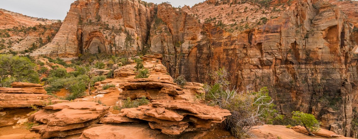
Canyon Overlook Trail at Zion National Park

Location: Zion National Park, Utah Length: 1 mile roundtrip GPS coordinates: N37 12.798 W112 56.440 If you have never been to Zion National Park and during your first limit you are limited in time and cannot see the whole national park, that Canyon Overlook Trail is just a must visit for you! This short trail with the length of approximately 1 mile (roundtrip) will take you only about one hour to hike it, but it will endow you with inexpressible impressions and unforgettable [...]

Summit Trail 11

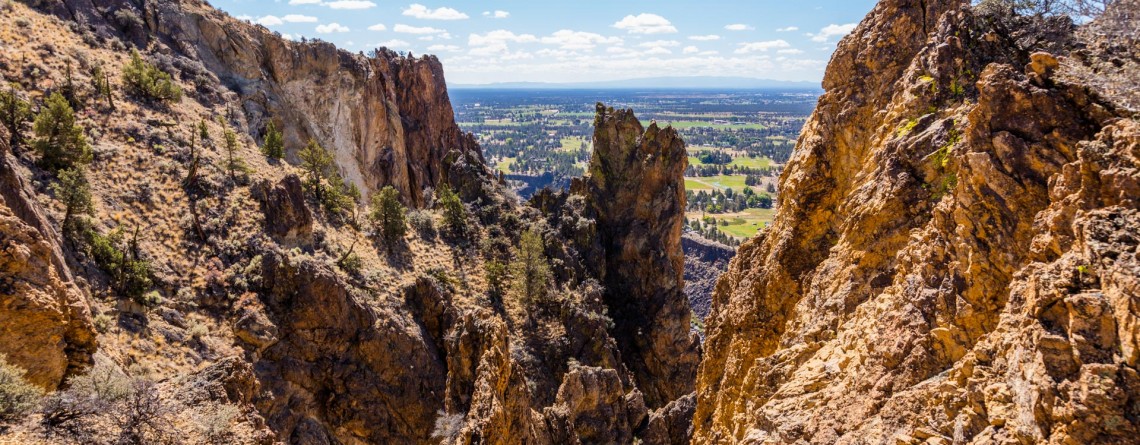
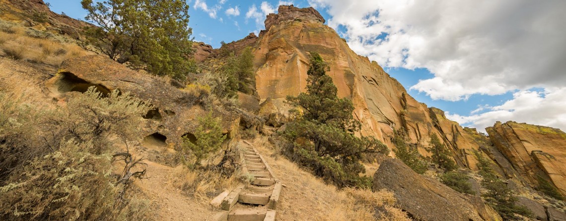
Summit Trail at Smith Rock State Park – unforgettable views

Address: Terrebonne, OR 97760, United States Phone number: 541-548-7501 Length: 2 miles GPS Coordinates: N 44 21.952 W 121 08.233 The Summit Trail is the youngest trail in the park, which was opened in 2013. It is actually a connecting trail and is usually hiked as a part of Summit Trail Loop which starts at the parks’ Welcome Center and runs for approximately 7, 5 miles throughout the Smith Rock State Park, and includes Canyon Trail, River Trail, Summit Trail, Burma Road Trail and Wolf [...]

Rope de Dope Trail 16

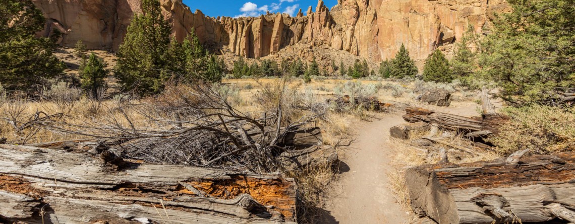
Interesting Rope de Dope Trail at Smith Rock State Park

Address: Terrebonne, OR 97760, United States Phone number: 541-548-7501 Length: 0.5 miles GPS Coordinates: N 44 21.952 W 121 08.233 This short trail, stretching forward for only 0.5 miles, is regarded to be one of the most often used trails and one of the major connectors between the trails within the well-conceived trail system of incredible Smith Rock State Park. For people staying at The Bivy (the campground area) Rope de Dope trail arranges an access to the Canyon Trail, leading to the footbridge across the [...]

River Trail 27

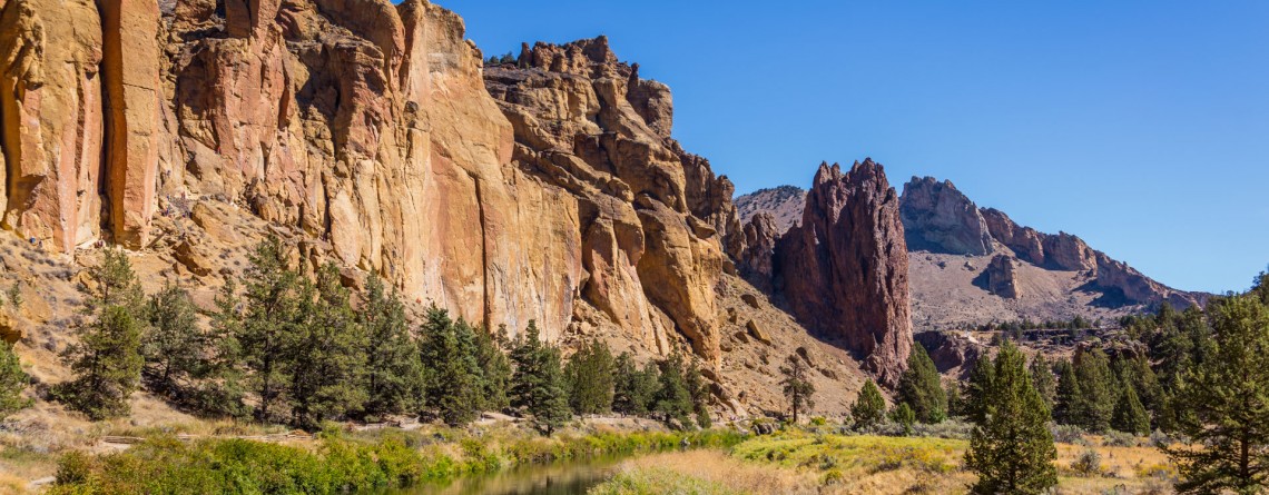
Amazing River Trail at Smith Rock State Park

Address: Terrebonne, OR 97760, United States Phone number: 541-548-7501 Length: 0.68 miles GPS Coordinates: N 44 21.952 W 121 08.233 Information Center: Crooked River National Grassland, 274 SW 4th Street, Madras, OR River Trail is an extremely easy picturesque trail, especially popular and often visited by families with kids and various age visitors, who are eager to enjoy all the beauty of Smith Rock State Park without climbing the strenuous trails, preferring a pleasant saunter at a leisurely pace. To find to the River Trail from the [...]

Skull Hollow Campground 9

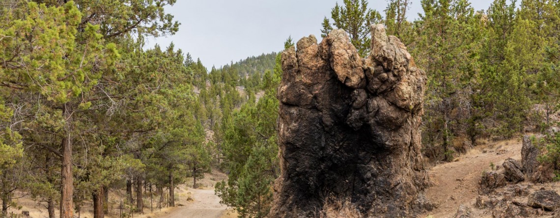
Skull Hollow Campground at Smith Rock State Park, Oregon

Address: Terrebonne, OR 97760, United States Phone number: 541-548-7501 Acreage: 651.68 Day-use: Fee Annual Pass: 24 month pass $5, $30, $50 GPS Coordinates: N 44 21.952 W 121 08.233 Information Center: Crooked River National Grassland, 274 SW 4th Street, Madras, OR Rock Smith State Park is a unique place with unbelievable landscape visited by hundreds of thousands people annually. It is the real Paradise for the climbers offering f couple of thousands of routs for climbing with various levels of difficulty. The only thing this wonderful park is missing is [...]

Mesa Verde Trail 15

Mesa Verde Trail at Smith Rock State Park

Location: Smith Rock State Park Length: 0.65 miles GPS Coordinates: N 44 21.952 W 121 08.233 Mesa Verde Trail is a very short, only 0.65-mile trail that connects to other more beautiful and popular trails. Though the trail is short and is used as a connecting trail, it provides several good views: nice views of Monkey Face and the surrounding. While hiking along this trail I was amazed by the numerous yellow rock, gorgeous views and fabulously beautiful sky. By the way, the [...]

Burma Road Trail 19

Burma Road Trail: The View From Above

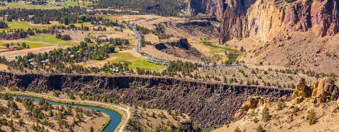
Location: Smith Rock State Park Length: 6.5 miles GPS Coordinates: N 44 21.952 W 121 08.233 Smith Rock State Park is a very popular destination in Oregon both among hikers and rock climbers. A well-developed trail system and numerous rocks for climbing attract thousands of tourists. Burma Road Trail is a breathtaking 6.5-mile hike that takes you to the top. The trail is fabulous because hikers see and explore the difference between the unique ecosystem near the river, at the bottom and at [...]

West Thumb Geyser Basin 13

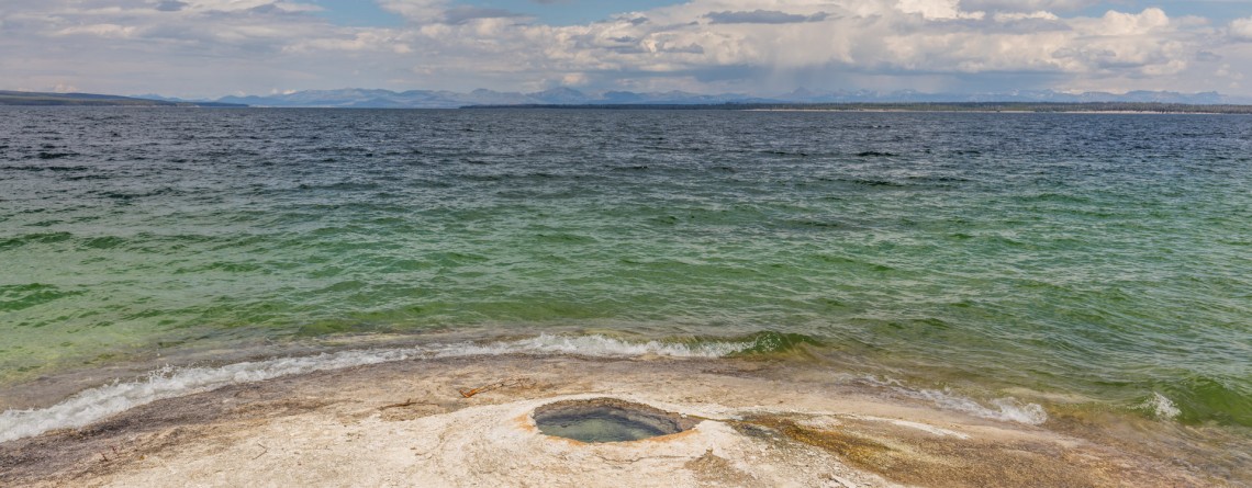
West Thumb Geyser Basin, Yellowstone National Park

Location: Yellowstone National Park Length: less than a mile GPS Coordinates: N 44 24.941 W 110 34.419 West Thumb Geyser Basin is a popular destination among tourists because it sits right on the shore of Yellowstone Lake. This area was formed by a volcanic eruption thousands of years ago and is called the West Thumb caldera. It should be mentioned that this geyser basin is the largest one along the lake, most of geothermal features are located under the water of the lake. [...]

Porcelain Basin of Norris Geyser Basin 20

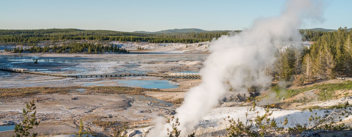
Porcelain Basin in Yellowstone National Park

Location: Yellowstone National Park Length: about a mile roundtrip GPS Coordinates: N 44 43.568 W 110 42.120 The Norris Geyser Basin is the hottest geyser basin in Yellowstone National Park. Some people call this part “the land of extremes”. Tourist will see here the tallest geyser, but at the same time this geyser is infrequent, new and old geysers, springs that have been damaged by people. We encourage you to follow the rules of the park and stay on specially designed trails. The [...]

Pelican ?reek Nature Trail 16

Pelican Creek Nature Trail

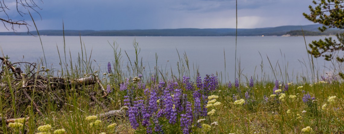
Location: Yellowstone National Park Length: 1 mile roundtrip GPS Coordinates: N 44 33.600 W 110 21.599 Pelican Creek Loop is very short trail that allows visitors to hike through the forest along the north bank of Yellowstone Lake, and at the same time enjoy the beauty of the shoreline. This is the path that offers panoramic, expansive views and fantastic opportunities for bird and wildlife watching. There are numerous birds on the lake and very often visitors may encounter bison grazing on the [...]

Amazing sunset at Yellowstone National Park 9

Amazing Sunset at Yellowstone National Park

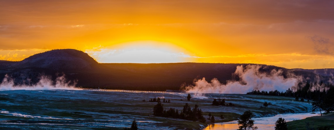
One of the most magical and gorgeous moment in a day is sunset. It’s the time when the day fades and the sun drowns in the endless horizon. Bright colors of the sky are just indescribable by words. John Lubbock said: “Sunsets are so beautiful that they almost seem as if we were looking through the gates of Heaven.” And this was a special sunset, the sky was colored in unbelievably beautiful and unearthly colors, it was the time to [...]

Fountain Paint Pots 23

Fountain Paint Pots in Yellowstone National Park

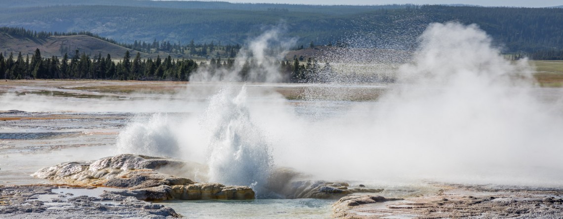
Location: Yellowstone National Park, Lower Geyser Basin Length: 0.7 miles GPS Coordinates: N 44 32.913 W 110 48.433 The Fountain Paint Pots Area is a must-visit destination in Yellowstone National Park that offers to explore all four kinds of geothermal features. Visitors will find here geysers, hot springs, pools, a fumarole and famous Fountain Paint Pot. The trail, leading to these geothermal features is an easy 0.7-mile trail, is good for all skill levels, and is accessible May-September. The Fountain Paint Post area [...]

Point Sublime, Yellowstone National Park 17

Point Sublime on the Grand Canyon of the Yellowstone National Park

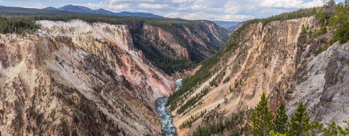
Location: Yellowstone National Park, Grand Canyon Area Distance: 3 miles (roundtrip) Elevation gain: 250 feet GPS Coordinates: N 44 43.178 W 110 28.829 Point Sublime is one of the famous viewpoints on the south rim of the Grand Canyon in Yellowstone National Park. The overlook offers stunning views of the Yellowstone River and picturesque Grand Canyon itself. The trail is not very long, only 3 miles (roundtrip) with an elevation gain of 250 feet. The trail takes hikers along the edge of the canyon, [...]