Tag - Trail

Canyon Overlook 13

Canyon Overlook Trail at Zion National Park

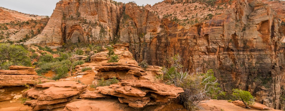
Location: Zion National Park, Utah Length: 1 mile roundtrip GPS coordinates: N37 12.798 W112 56.440 If you have never been to Zion National Park and during your first limit you are limited in time and cannot see the whole national park, that Canyon Overlook Trail is just a must visit for you! This short trail with the length of approximately 1 mile (roundtrip) will take you only about one hour to hike it, but it will endow you with inexpressible impressions and unforgettable [...]

Summit Trail 11

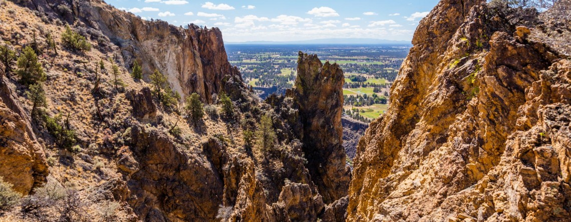
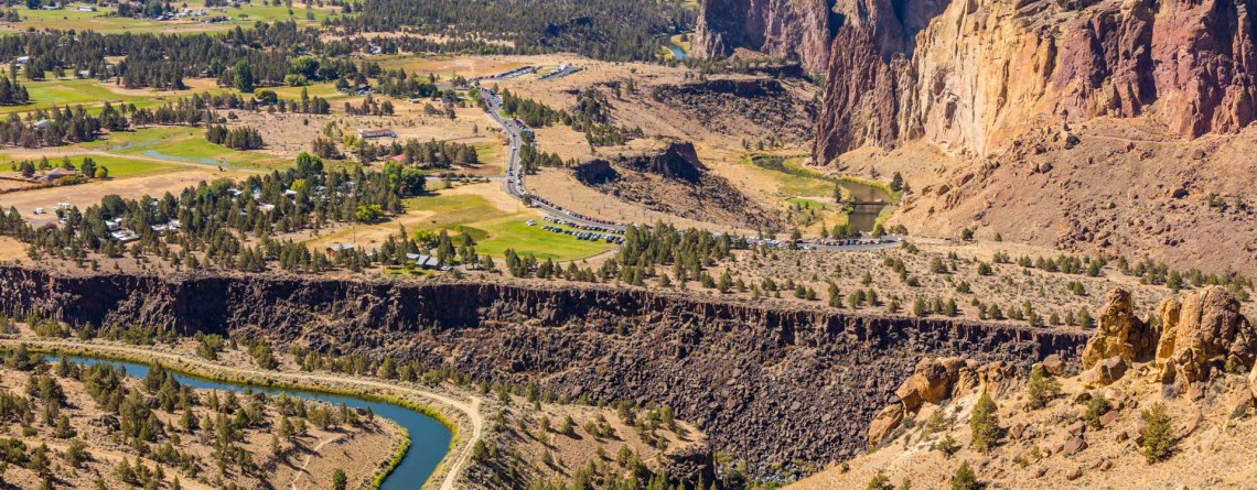
Summit Trail at Smith Rock State Park – unforgettable views

Address: Terrebonne, OR 97760, United States Phone number: 541-548-7501 Length: 2 miles GPS Coordinates: N 44 21.952 W 121 08.233 The Summit Trail is the youngest trail in the park, which was opened in 2013. It is actually a connecting trail and is usually hiked as a part of Summit Trail Loop which starts at the parks’ Welcome Center and runs for approximately 7, 5 miles throughout the Smith Rock State Park, and includes Canyon Trail, River Trail, Summit Trail, Burma Road Trail and Wolf [...]

River Trail 27

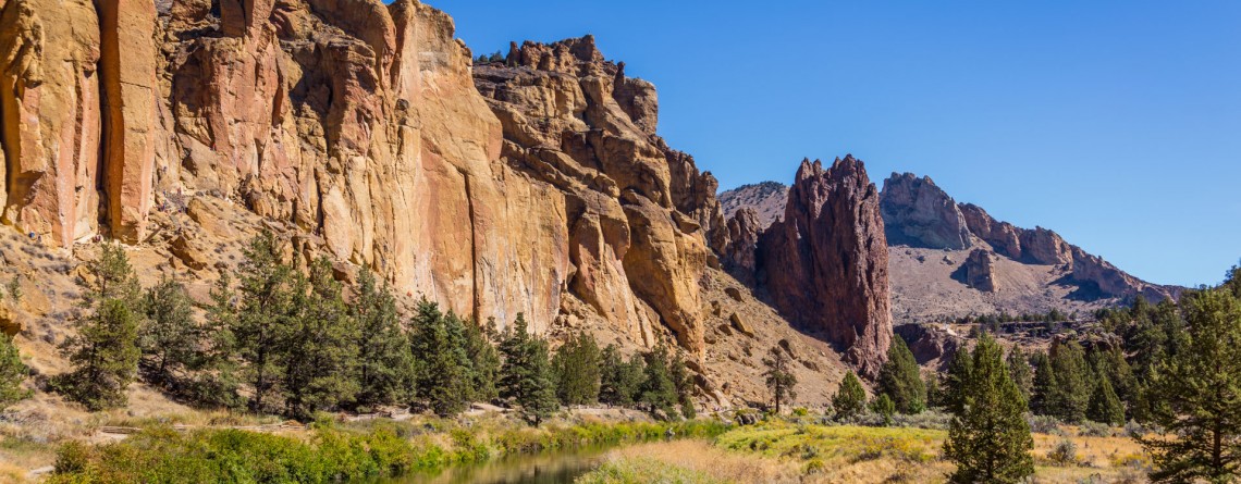
Amazing River Trail at Smith Rock State Park

Address: Terrebonne, OR 97760, United States Phone number: 541-548-7501 Length: 0.68 miles GPS Coordinates: N 44 21.952 W 121 08.233 Information Center: Crooked River National Grassland, 274 SW 4th Street, Madras, OR River Trail is an extremely easy picturesque trail, especially popular and often visited by families with kids and various age visitors, who are eager to enjoy all the beauty of Smith Rock State Park without climbing the strenuous trails, preferring a pleasant saunter at a leisurely pace. To find to the River Trail from the [...]

Mesa Verde Trail 15

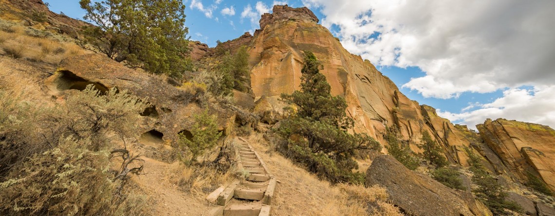
Mesa Verde Trail at Smith Rock State Park

Location: Smith Rock State Park Length: 0.65 miles GPS Coordinates: N 44 21.952 W 121 08.233 Mesa Verde Trail is a very short, only 0.65-mile trail that connects to other more beautiful and popular trails. Though the trail is short and is used as a connecting trail, it provides several good views: nice views of Monkey Face and the surrounding. While hiking along this trail I was amazed by the numerous yellow rock, gorgeous views and fabulously beautiful sky. By the way, the [...]

Canyon Trail 13

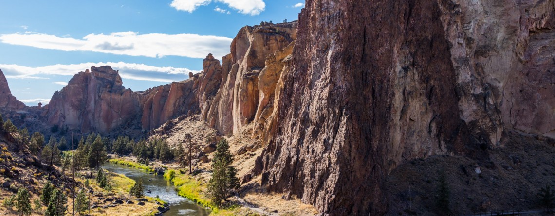
Winding Canyon Trail

Location: Smith Rock State Park Length: 6.5 miles GPS Coordinates: N 44 21.952 W 121 08.233 Smith Rock State Park is a very interesting place, where you can explore and enjoy nature hiking, or look at the park from another prospective – climbing. Canyon Trail is an easy 1.5-mile trail, which at some point it becomes steeper. It winds around Crooked River and provides nice views of the park. This trail also allows hikers to enjoy forested area of the park, probably the only [...]

Burma Road Trail 19

Burma Road Trail: The View From Above

Location: Smith Rock State Park Length: 6.5 miles GPS Coordinates: N 44 21.952 W 121 08.233 Smith Rock State Park is a very popular destination in Oregon both among hikers and rock climbers. A well-developed trail system and numerous rocks for climbing attract thousands of tourists. Burma Road Trail is a breathtaking 6.5-mile hike that takes you to the top. The trail is fabulous because hikers see and explore the difference between the unique ecosystem near the river, at the bottom and at [...]

Wraith Falls 18

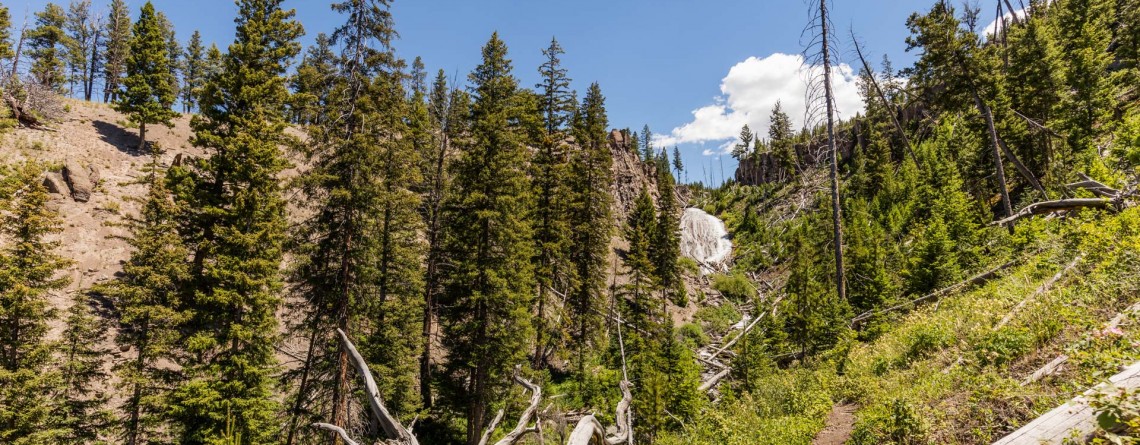
Wraith Falls in Yellowstone National Park

Location: Yellowstone National Park Length: 0.8 miles Elevation change: 120 feet GPS Coordinates: N 44 56.540 W 110 37.408 Yellowstone National Park is one of the greatest parks in US, it is very diverse and beautiful, featuring different geothermal features. This is the World?s First National Park that comprises the territory of 2,219,789 acres. The park is home to one of the world?s largest calderas with over 10,000 thermal features and more than 300 geysers. The park has 290 waterfalls and is home [...]

Calcite Springs Overlook 4

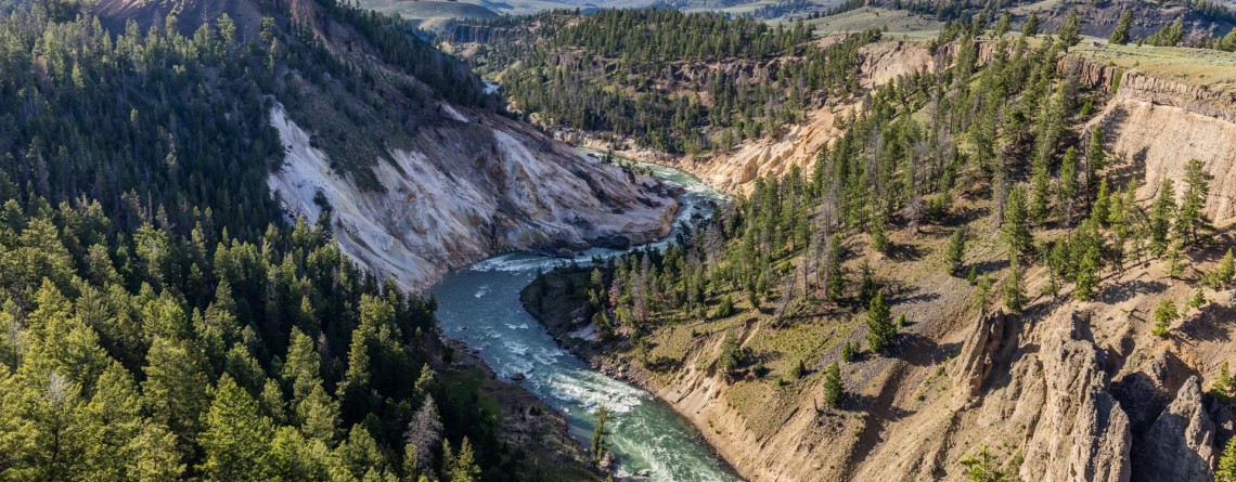
Calcite Springs Overlook in Yellowstone National Park

Location: Yellowstone National Park Length: 0.25 miles Elevation Gain: 25 feet GPS coordinates: N 44 54.109 W 110 23.586 Yellowstone is known for its gorgeous views and nature. This is the World’s First National Park that comprises the territory of 2,219,789 acres. The park is home to one of the world's largest calderas with over 10,000 thermal features and more than 300 geysers. The park has 290 waterfalls and is home for one of the largest petrifiied forests in the world. One of the [...]

Point Sublime, Yellowstone National Park 17

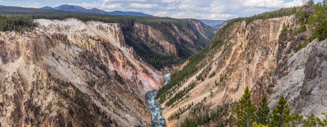
Point Sublime on the Grand Canyon of the Yellowstone National Park

Location: Yellowstone National Park, Grand Canyon Area Distance: 3 miles (roundtrip) Elevation gain: 250 feet GPS Coordinates: N 44 43.178 W 110 28.829 Point Sublime is one of the famous viewpoints on the south rim of the Grand Canyon in Yellowstone National Park. The overlook offers stunning views of the Yellowstone River and picturesque Grand Canyon itself. The trail is not very long, only 3 miles (roundtrip) with an elevation gain of 250 feet. The trail takes hikers along the edge of the canyon, [...]

Back Basin - Norris Geyser Basin 18

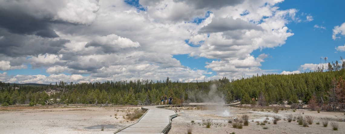
Back Basin of Norris Geyser Basin – Yellowstone National Park

Location: Yellowstone National Park, Mammoth Hot Springs Length: 1.75 mile GPS Coordinates: N 44 43.567 W 110 42.117 The Norris Geyser Basin is the hottest geyser basin in Yellowstone National Park, one of its parts the Back Basin is considered to be more wooded and full of different geothermal features. Some people call this part “the land of extremes”. Tourist will see here the tallest geyser, but at the same time this geyser is infrequent, new and old geysers, springs that have been [...]

Boiling River Trail 34

Boiling River Trail

Location: Yellowstone National Park, Mammoth Hot Springs Length: 025 mile GPS Coordinates: N 44 59.557 W 110 41.496 Boiling River Trail is an interesting must-see and try destination in the Yellowstone National Park. A short 1.25-mile trail will take you to the Boiling River, a place where a large hot spring enters the Gardner River. The cold and hot water mixes here and becomes warm for bathing. Wear your bathing suit and enjoy this remarkable hot spring tub! Yellowstone’s Boiling River is located [...]

Artist Point, Yellowstone National Park 18

Artist Point on the Grand Canyon of the Yellowstone National Park

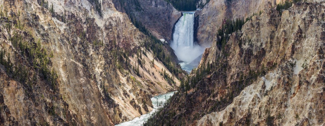
Location: Yellowstone National Park, Grand Canyon, South Rim Length: 0.1 mile GPS Coordinates: N 44 43.178 W 110 28.829 Artist Point on the Grand Canyon in the Yellowstone National Park offers fabulous views of the Yellowstone River and gorgeous canyons of light yellow and orange colors. Enjoy the views of the famous Lower Falls. It is truly a must-see and must-visit place in Yellowstone. The Grand Canyon itself is about 20 miles long; it was approximately measured from the Upper Falls to Tower Fall [...]

Artist's Paint Pots 27

Artist’s Paint Pots – Yellowstone National Park

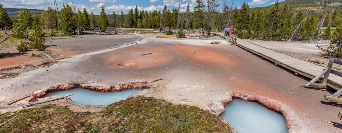
Location: Yellowstone National Park Length: 1.1 miles GPS Coordinates: N 44 41.774 W 110 44.466 The Artist's Paint Pots trail is an easy and very popular hike featuring colorful hot springs, geysers, a fumaroles and mudpots in Yellowstone National Park. We encourage you to enjoy it in a natural setting. From the trailhead the trail takes you through a conifer forest. It should be mentioned that these trees were able to survive during the fire in 1988. After the forest the trail takes [...]