Tag - breathtaking

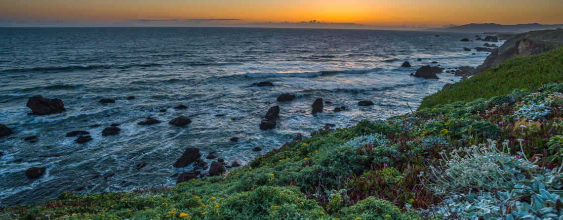
Sonoma Coast State Park 27

Sonoma Coast State Park – an incredible place you’ll never forget

  Address: 3095 Highway 1 Bodega Bay, CA 94923 Phone: (707) 875-3483 Acreage: 10,000 GPS Coordinates: N 38 24.310 W 123 05.867 If you want to enjoy the fullness of beauty and uniqueness of the northern Californian Coast, Sonoma Coast State Park is just the right place for this. Spreading out its land of more than 10,000 acres on the 17 miles of Pacific coastline, this park boasts breathtaking scenery of the majestic ocean and incredible beaches which are quite diverse in their appearance. [...]

The Narrows 10

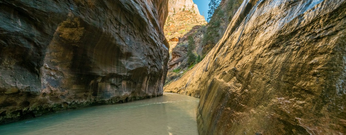
The Narrows – an incredibly unique experience for any hiker!

Location: Zion National Park, Utah Length: as long as you wish Difficulty: Moderate GPS Coordinates: N 37 17.798  W 112 56.895   Zion Narrows is among the most incredible and breathtaking adventures in the US. Thousands of people come to Zion National Park in order to challenge themselves with this scenic and adventurous hike. This unique hike at the bottom of a sandstone canyon, the walls of which rise thousands of feet vertically and come as close as twenty feet across at some places is [...]

River Trail 27

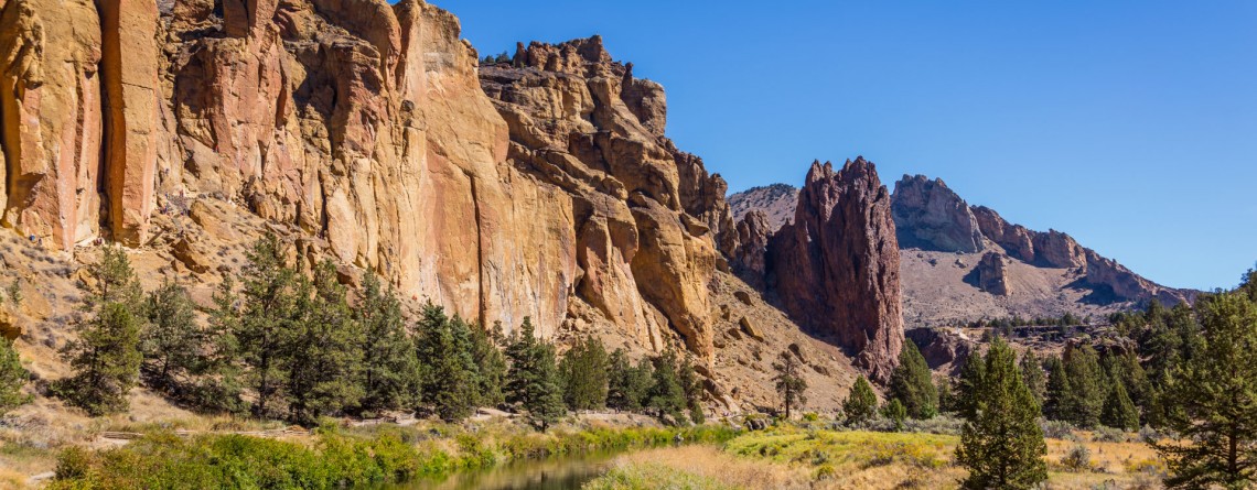
Amazing River Trail at Smith Rock State Park

Address: Terrebonne, OR 97760, United States Phone number: 541-548-7501 Length: 0.68 miles GPS Coordinates: N 44 21.952 W 121 08.233 Information Center: Crooked River National Grassland, 274 SW 4th Street, Madras, OR River Trail is an extremely easy picturesque trail, especially popular and often visited by families with kids and various age visitors, who are eager to enjoy all the beauty of Smith Rock State Park without climbing the strenuous trails, preferring a pleasant saunter at a leisurely pace. To find to the River Trail from the [...]

Misery Ridge Trail 24

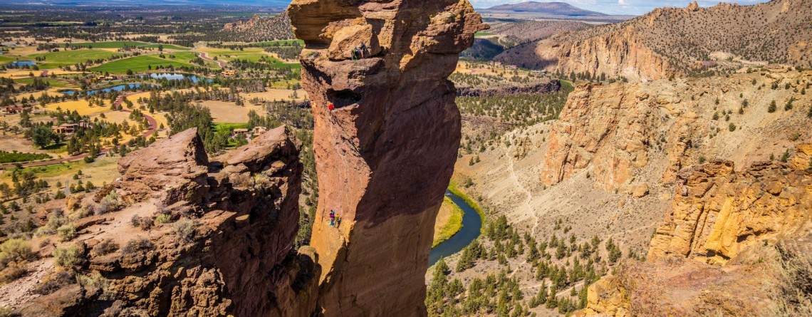
Misery Ridge Trail at Smith Rock State Park

Address: Terrebonne, OR 97760, United States Phone number: 541-548-7501 Length: 0.68 miles GPS Coordinates: N 44 21.952 W 121 08.233 Information Center: Crooked River National Grassland, 274 SW 4th Street, Madras, OR Misery Ridge Trail is probably the most popular and well-known trail of the Rock Smith State Park, but for inexperienced hikers it may also seem one of the most strenuous trails of this state park. Its steep ascend at the beginning caused lots of troubles to early pioneers, trying to cross over the mountain [...]

Porcelain Basin of Norris Geyser Basin 20

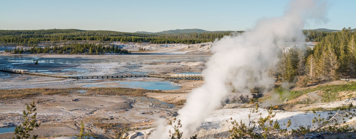
Porcelain Basin in Yellowstone National Park

Location: Yellowstone National Park Length: about a mile roundtrip GPS Coordinates: N 44 43.568 W 110 42.120 The Norris Geyser Basin is the hottest geyser basin in Yellowstone National Park. Some people call this part “the land of extremes”. Tourist will see here the tallest geyser, but at the same time this geyser is infrequent, new and old geysers, springs that have been damaged by people. We encourage you to follow the rules of the park and stay on specially designed trails. The [...]

Pelican ?reek Nature Trail 16

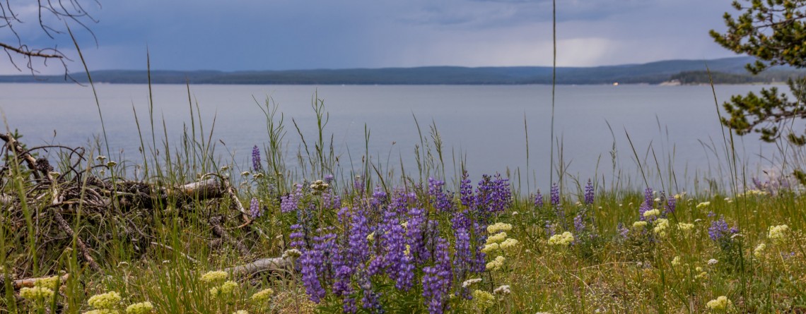
Pelican Creek Nature Trail

Location: Yellowstone National Park Length: 1 mile roundtrip GPS Coordinates: N 44 33.600 W 110 21.599 Pelican Creek Loop is very short trail that allows visitors to hike through the forest along the north bank of Yellowstone Lake, and at the same time enjoy the beauty of the shoreline. This is the path that offers panoramic, expansive views and fantastic opportunities for bird and wildlife watching. There are numerous birds on the lake and very often visitors may encounter bison grazing on the [...]

Amazing sunset at Yellowstone National Park 9

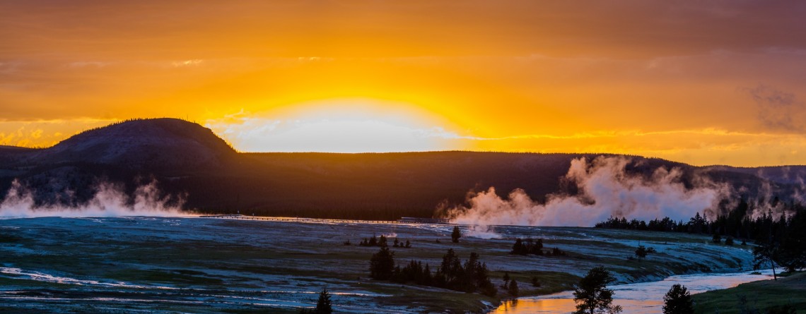
Amazing Sunset at Yellowstone National Park

One of the most magical and gorgeous moment in a day is sunset. It’s the time when the day fades and the sun drowns in the endless horizon. Bright colors of the sky are just indescribable by words. John Lubbock said: “Sunsets are so beautiful that they almost seem as if we were looking through the gates of Heaven.” And this was a special sunset, the sky was colored in unbelievably beautiful and unearthly colors, it was the time to [...]

Brink of the Upper Falls in Yellowstone 8

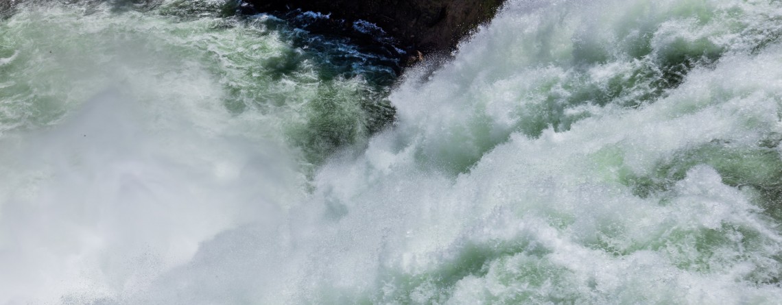
Lower Falls – Power and Majesty. The Brink of the Lower Falls on the Grand Canyon of the Yellowstone National Park

Yellowstone Falls consist of two major waterfalls on the Yellowstone River: they are Upper and Lower Falls, both are separated by about a quarter mile, but you want be able to see the Lower Falls from the overlook atop the Upper Falls because of the bend of the Yellowstone River. The Grand Canyon of the Yellowstone Rivet takes its beginning at Upper Falls. This famous canyon is about 20 miles long, more than 1,000 feet deep, and 1,500 to 4,000 [...]

Midway Geyser Basin 25

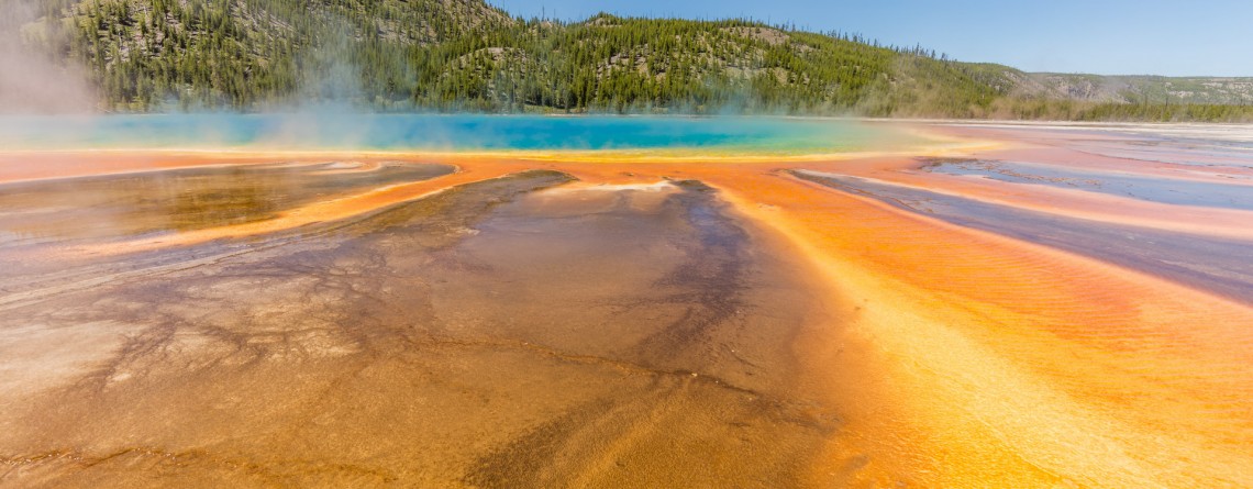
Midway Geyser Basin and Grand Prismatic Spring and Excelsior Geyser

Location: Yellowstone National Park, Lower Geyser Basin Length: 0.8 miles GPS Coordinates:  N 44 31.705 W 110 50.175 Midway Geyser Basin is a small area known for the two big geothermal features that are located here. The size of the basin is small, but its popularity was won by the Excelsior Geyser and Grand Prismatic Spring. The basin itself is a part of Lower Geyser Basin, but because of its location it received a name of the Midway Geyser Basin. Grand Prismatic Spring is [...]

Old Faithful Geyser 2

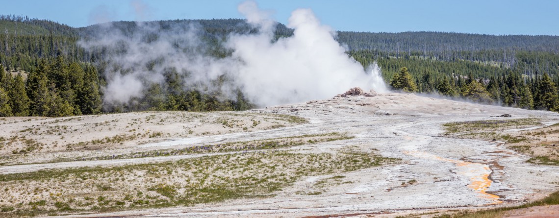
Old Faithful Geyser – Is it really so faithful?

Location: Upper Geyser Basin, Yellowstone National Park GPS Coordinates: N 44 27.635 W 110 49.846 The Upper Geyser Basin in Yellowstone National Park is home for one of the most famous and faithful geysers in the world. This basin is famous for the fact that nearly one quarter of all worlds’ geysers is located here. Just imagine a territory in one square mile that has 150 geysers. Not only geysers, but also such thermal features like hot springs, boiling springs and [...]

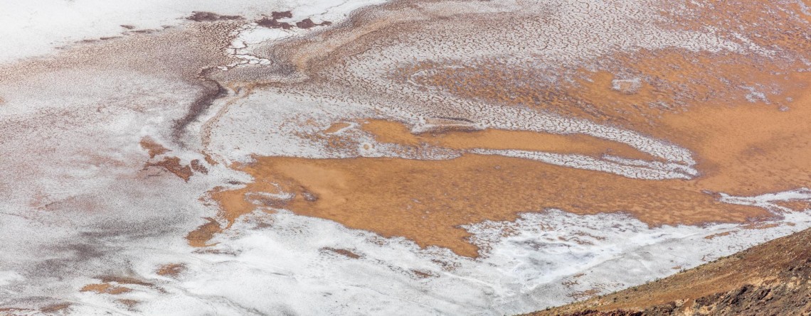
Dante's View 23

Hiking around Death Valley: Dante’s View

Location: Death Valley National Park Elevation gain: 250-300 ft GPS Coordinates: N 36 13.238 W 116 43.584 Dante’s View is a fabulous overlook that is considered one of the best high elevations and easily-accessible viewpoints in California.  This viewpoint is situated at the edge of the Black Mountains and provides gorgeous views of southern part of Death Valley National Park. This place is considered to be one of the most photogenic places in the entire National Park. Thirteen-mile road leads you to Dante’s View, be prepared [...]

Zabriskie Point 15

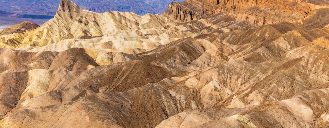
Dramatic views and geological history – Zabriskie Point, Death Valley National Park

Location:    Death Valley National Park, Furnace Creek Area Round Trip:    2.9 miles from Golden Canyon GPS Coordinates:    N 36 25.258 W 116 48.578 Death Valley National Park is a 3.4 million acre park that is the largest park in the contiguous states of the USA.  This unusual valley is surrounded by steep mountain ranges. There are the Panamint Mountains to the west, and the Black, Funeral, and Grapevine Mountains to the east. Its highest point is Telescope Peak, at 11,049 feet. Death Valley [...]

Arch Trail 29

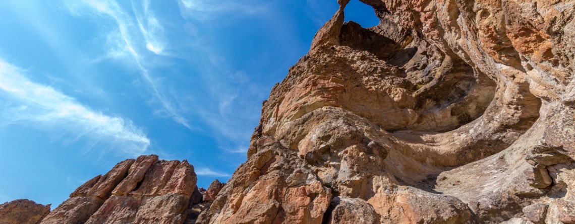
Exploring the Clarno Unit: Arch Trail

Location: Clarno Unit, John Day Fossil Beds National Monument, Oregon Round Trip: 0,5 miles Difficulty: Moderate Elevation Gain: 200 feet GPS Coordinates: N 44 54.794 W 120 24.562 Visitor’s Information Open: all year round No Pass Required   Eastern part of Oregon will amaze you with a significant natural attraction - John Day Fossil Beds National Monument. This fantastic national monument introduces the visitors to the 40 million years evolution history of plants and animals, showing also the change of climate and various ecosystems which existed throughout all these millions of years. John Day [...]