Tag - Death Valley National Park

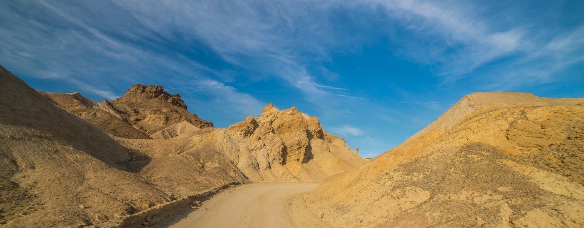
Twenty Mule Team Canyon Road 24

Scenic Drive along 20 Mule Team Canyon Road

  Location: Death Valley National Park, CA Length: 2,8 miles GPS Coordinates: N 36 24.570  W 116 47.680 Contact Information: Death Valley National Park P.O. Box 579 Death Valley, CA 92328   One of the best-known “historic symbols” of Death Valley is the Twenty Mule Teams. Such “teams” were comprised of 18 mules and 2 horses, pulling huge wagons filled with borax, bringing it from mines located in Furnace Creek area to the railhead which was at that time near Mojave. That was an exhausting trip which lasted for 10 days, [...]

Salt Creek Interpretive Trail 21

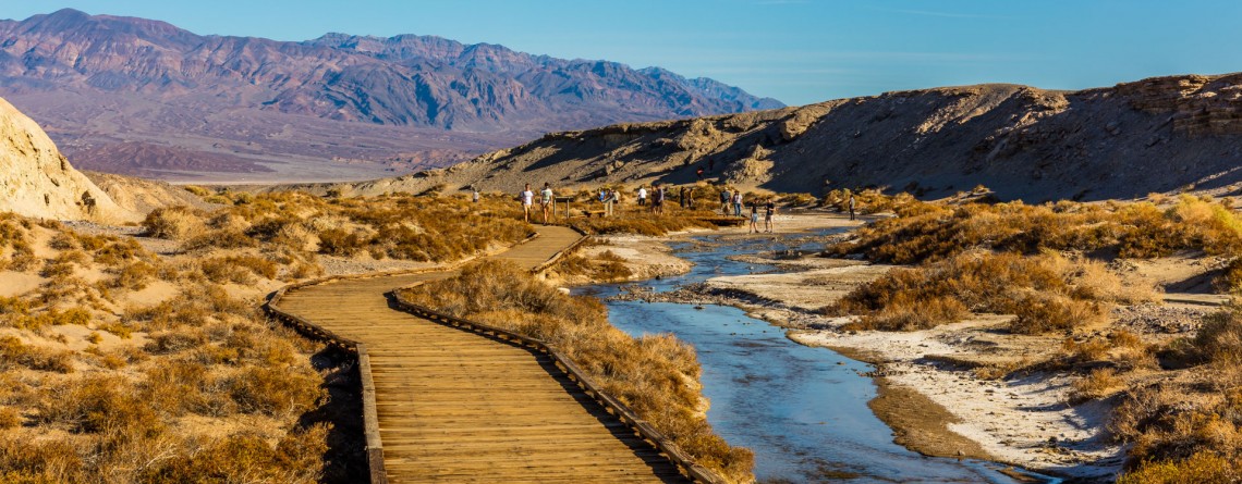
Salt Creek Interpretive Trail. Incredible life in salty water.

Location: Death Valley National Park, Stovepipe Wells Area Length: ½ mile GPS Coordinates: N 36 35.436 W 116 59.433 Contact Information: Death Valley National Park P.O. Box 579 Death Valley, CA 92328 Salt Creek is a wonderful place in the Death Valley National Park. It is very unusual, because it’s hard to believe that in the desert you will find a real oasis full of life. If we talk about the trail itself, it is considered to be well-maintained and covered with wood boards. It’s not even a trail for [...]

Mosaic Canyon 16

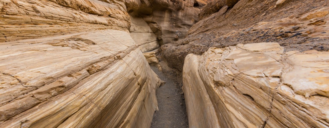
Real Marble at Mosaic Canyon, Death Valley National Park

Location: Death Valley National Park, Stovepipe Wells Area Length: ½ - 2 miles GPS Coordinates: N 36 34.324 W 117 8.667 Contact Information: Death Valley National Park P.O. Box 579 Death Valley, CA 92328 Mosaic Canyon is one of the most scenic and beautiful sights in Death Valley national Park. The short trail will take you through the narrow canyon with high polished walls. Numerous floods have polished the marble walls and multicolored rock formations. Tourists will enjoy this hike with numerous opportunities to explore smooth marble walls. Mosaic Canyon [...]

Mesquite Falls Sand Dunes 46

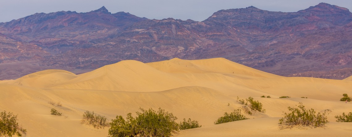
Unusual Mesquite Flat Sand Dunes – Death Valley National Park

Location: Death Valley National Park Length: No trail GPS Coordinates: N 36 36.372 W 117 6.904 Contact Information: Death Valley National Park P.O. Box 579 Death Valley, CA 92328 Mesquite Flat Sand Dunes are beautiful and the most accessible sand dunes in Death Valley. Though they are not the tallest, they are very popular among tourists. The largest dune is called Star Dune. The highest dune rises about 100 feet, but these dunes cover massive territory, but it’s only one percent of the Death Valley that is covered with [...]

Badwater Road 4

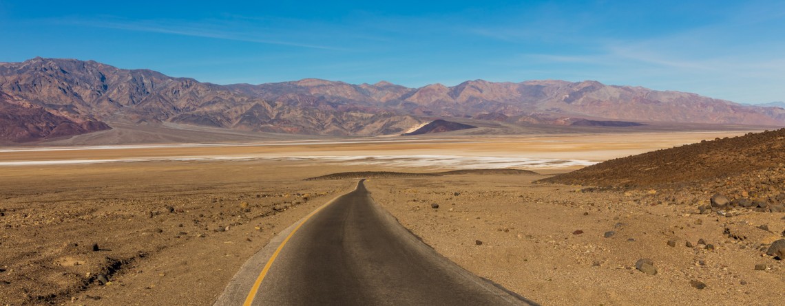
Scenic Drive along Badwater Road

Location: Death Valley National Park Length: 45.2 miles GPS Coordinates: N36 26.999 W116 51.076 (Furnace Creek Inn) Contact Information: Death Valley National Park P.O. Box 579 Death Valley, CA 92328 Badwater Road is one of the main roads in Death Valley National Park. It is very popular because leads to the most popular attractions, including Artist Palette, Devil’s Golf Course, etc.  Badwater Road is a wonderful drive to Badwater basin, the lowest point in North America with an elevation of 282 ft below sea level. This road is paved [...]

Devil's Golf Course 18

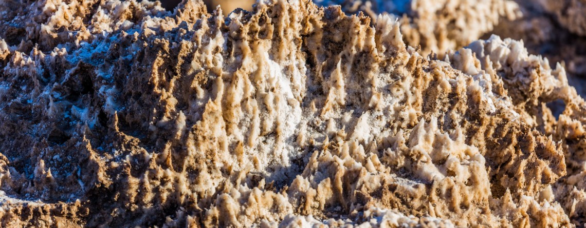
Devil’s Golf Course – Alien Views and Landscape

Location: Death Valley National Park Length: It can be as long as you want (there is no a designated trail) GPS Coordinates: N 36 17.157 W 116 49.567 Contact Information: Death Valley National Park P.O. Box 579 Death Valley, CA 92328 The Devil’s Golf Course is a fabulously beautiful and large salt pan on the floor of Death Valley National Park. It is located in the Mojave Desert. This salt pen is a huge bed of a dried up Lake Manly that covered the territory of the valley. The [...]

Badwater Salt Flats 24

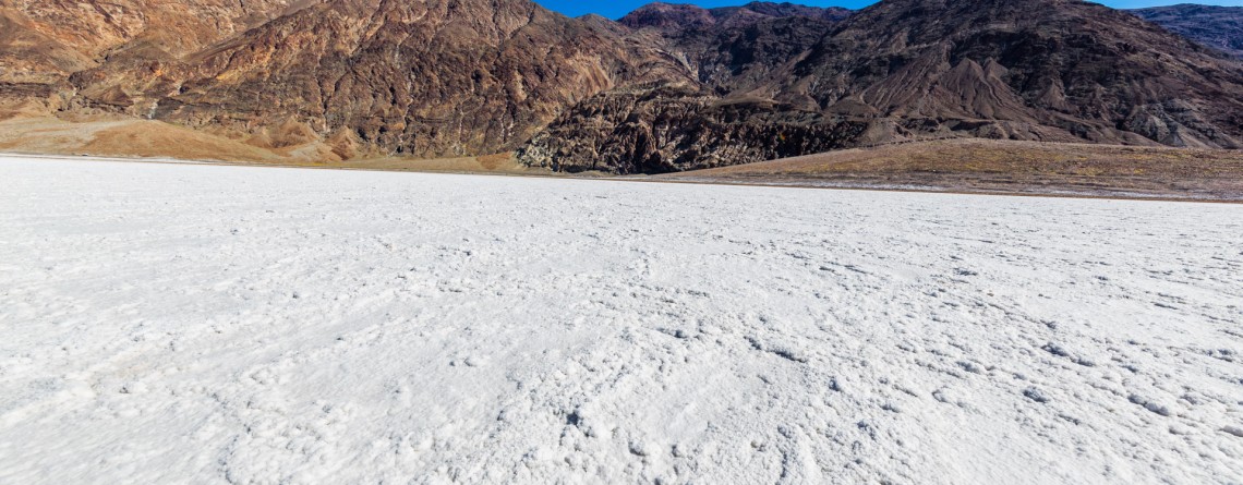
White Salt Flats of Badwater

Location: Death Valley National Park Length: 2 miles roundtrip GPS Coordinates: N 36 13.79 W 116 46.035 Contact Information: Death Valley National Park P.O. Box 579 Death Valley, CA 92328 Badwater Basin is an endorheic basin known as the lowest point in North America. Its elevation is 282 ft below sea level. The name to the area was given thanks to the spring-fed pool of “bad water”, the salt make this water undrinkable. Actually, this water is four times saltier than the water in the ocean. Although, the water in [...]

Natural Bridge Canyon Trail 17

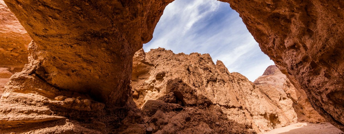
Gorgeous Arch at Natural Bridge Canyon

Location: Death Valley National Park Length: 2 miles roundtrip GPS Coordinates: N 36 16.872 W 116 46.193 Natural Bridge Canyon Trail is one of the most popular in the Death Valley National Park. It is situated closely to Furnace Creek and is not very long. Only a 15-minute hike from the parking lot will take you to a 50-foot-high natural bridge. This arch is a result of erosion, and a great example of how it can create really huge holes in the stones. Natural Bridge Canyon [...]

Dante's View 23

Hiking around Death Valley: Dante’s View

Location: Death Valley National Park Elevation gain: 250-300 ft GPS Coordinates: N 36 13.238 W 116 43.584 Dante’s View is a fabulous overlook that is considered one of the best high elevations and easily-accessible viewpoints in California.  This viewpoint is situated at the edge of the Black Mountains and provides gorgeous views of southern part of Death Valley National Park. This place is considered to be one of the most photogenic places in the entire National Park. Thirteen-mile road leads you to Dante’s View, be prepared [...]

Artist's Drive 46

Unusual Color Palette: Artist’s Drive and Artist’s Palette

Location: Death Valley National Park Area: Furnace Creek GPS Coordinates:  N 36 19.798 W 116 49.792 Artist’s Drive, as well as famous Artist’s Palette, is located in the Black Mountains on the territory of Death Valley National Park. This is a scenic drive (one way road) that takes visitors through the colorful area. Artist’s Drive is a nine-mile road that travels from south to north. It ascends above the salt flat of Badwater and opens impressive, fabulous and unforgettable views. This road carves through the high [...]

Zabriskie Point 15

Dramatic views and geological history – Zabriskie Point, Death Valley National Park

Location:    Death Valley National Park, Furnace Creek Area Round Trip:    2.9 miles from Golden Canyon GPS Coordinates:    N 36 25.258 W 116 48.578 Death Valley National Park is a 3.4 million acre park that is the largest park in the contiguous states of the USA.  This unusual valley is surrounded by steep mountain ranges. There are the Panamint Mountains to the west, and the Black, Funeral, and Grapevine Mountains to the east. Its highest point is Telescope Peak, at 11,049 feet. Death Valley [...]