Tag - views

Cannon beach Trail 9

CANNON BEACH TRAIL

Location: Ecola State Park, Oregon Length: 2,8 miles Difficulty: Moderate GPS coordinates: N  45 55.874  W 123 58.570 Visitor’s Information: Dogs are permitted on a leash Take your time and experience the most stunning views of the ocean and feel yourself relaxed! Cannon Beach trail is an amazing 2.8 mile dog friendly out and back trail which is very popular among tourists because of Haystack Rock and The Needles. It’s an awesome destination to bring a picnic and take in the breathtaking views of the [...]

Burr Trail Road

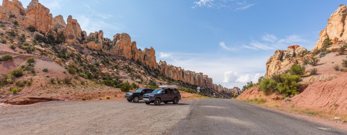
Picturesque Burr Trail Road

Location: Garfield County, Utah, USA Length:  67 miles GPS Coordinates:  N 37 54.064 W 111 25.469 We meet numerous stunning roads on our way. And each one can tell you even more than the place you plan to visit. You just drive without any hurry, feeling a tinge of freedom and enjoying the scenery. Take a scenic drive along the Burr Trail Scenic Backway in the USA discovering memorable places with sweeping views. Utah can boast with stunning 67-mile back road. This fascinating road [...]

Scenic Byway 12 - 15

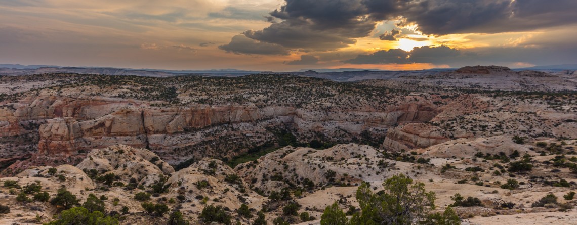
Incredible scenic drive along Highway 12

Location: Garfield County, Utah, USA Length:  123 miles GPS Coordinates: N 37 44.976  W 112 22.575 The world is so amazing! It will take you the entire life to discover all its awesome places. Traveling makes our life brighter and more eventful. Every road leaves a mark in the memory and soul. The USA teems with the lots of gorgeous and extremely picturesque roads known throughout the world. The most of them are undiscovered. You will find a striking Scenic Byway 12 in the beautiful [...]

Heron Pond / Swan Lake Loop 16

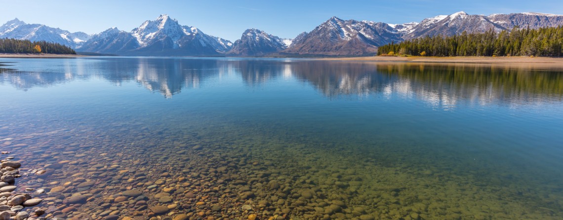
Heron Pond / Swan Lake Loop Trail of Grand Teton National Park

    Location: Grand Teton National Park, Wyoming Length: 3 miles Difficulty: Easy Elevation gain: 300 feet GPS coordinates: N 43 54.031   W 110 38.533   Grand Teton National Park is special among all US national parks. Most of its rivers and lakes got their names as a result of expeditions in 1872. It is also the only national park of all, where there is an airport. The numerous lakes of the park attract a great diversity of waterfowl, and the height and beauty of its [...]

East Mesa Trail 11

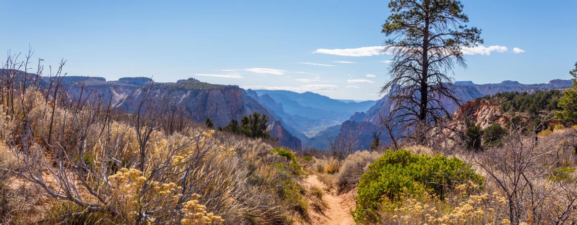
East Mesa Trail (going to Observation Point)

  Location: Zion National Park, Utah Length: 3,3 miles (one way trip) Elevation Gain: 280 feet Difficulty: Moderate GPS Coordinates: N  37 17.819   W  112 54.013 Zion National Park has several overlooks providing the visitors with an amazing panorama of the park’s canyons. One of them is Observation Point, situated at the Eastern Rim of Zion Canyon, at elevation of approximately 6,500 feet. The usual starting point for the hikers, willing to reach Observation Point, is the Weeping Rock Trailhead, which is actually the start [...]

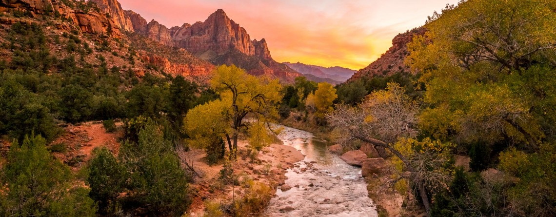
Virgin River 13

Virgin River – a Beautiful Creator of Zion Canyon

  Many thousands of years ago, the Virgin River was making its way to the south, winding in the soft formations of a young Colorado Plateau. Over time, the plateau began to rise, driven by the powerful forces of Earth, and little river had to fight its way through it, "biting" into the rock and washing away particles of gravel and sand "on the way". Thus, thanks to the perseverance and persistence of the Virgin River an amazingly beautiful canyon [...]

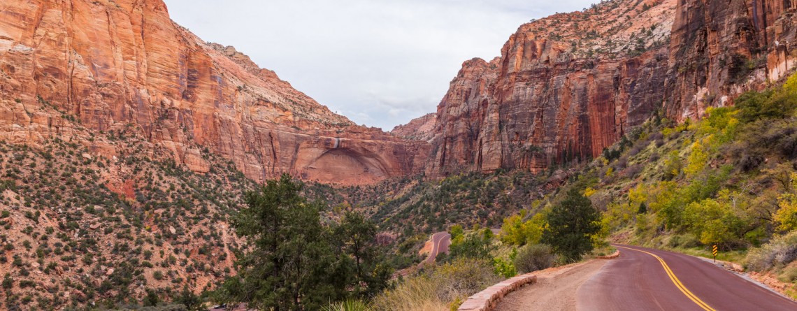
Mt. Carmel Highway 15

Zion National Park and the Scenic Drive along Mt. Carmel Highway

  Location: Zion National Park, Utah Address: 1 Zion Park Blvd., State Route 9, Springdale, UT 84767 Phone: (435) 772-3256 GPS coordinates of Zion East Entrance: N 37 13.999 W 112 52.527   Nowadays it is hard to astonish a person with anything. People are satiated with information and colorful pictures. But Nature is a great architect, its imagination is simply inexhaustible, and every time it is able to delight the eyes of an investigative observer with something which makes you to freezes in awe and admiration. Do [...]

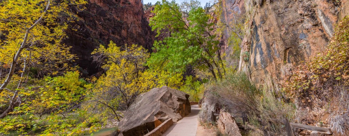
Riverside Walk Trail 24

Riverside Walk Trail at Zion National Park

  Location: Zion National Park, Utah Length: 2 miles roundtrip Ascent: 57 feet Difficulty: Easy GPS Coordinates: N 37 17.058 W 112 56.811 The Riverside Walk Trail is an outstanding and fascinating trek in Zion National Park, presenting for the park visitors the breathtaking views of immense stone walls of Zion Canyon as seen from its very bottom, and marvelous views of the Virgin River, flowing along the trail. It’s amazing but the quantity of the trail visitors in summer months reaches three thousand per [...]

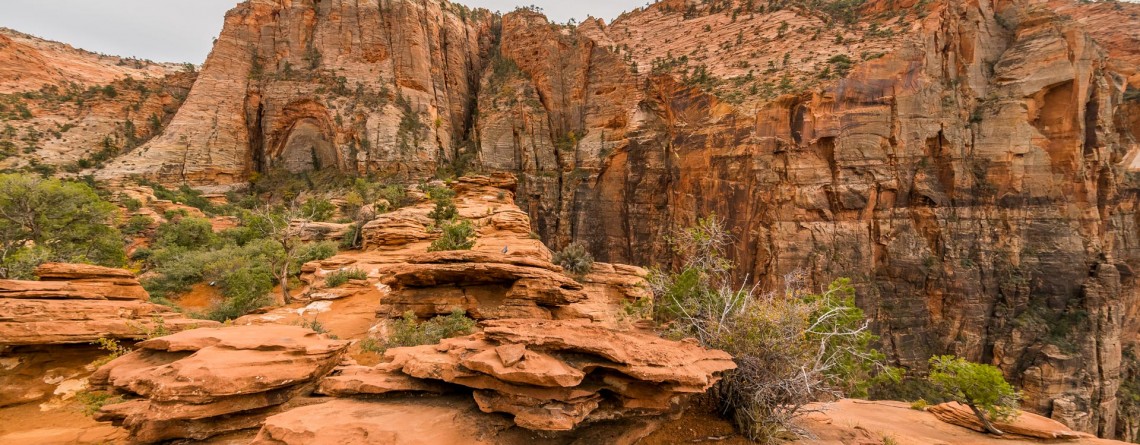
Canyon Overlook 13

Canyon Overlook Trail at Zion National Park

Location: Zion National Park, Utah Length: 1 mile roundtrip GPS coordinates: N37 12.798 W112 56.440 If you have never been to Zion National Park and during your first limit you are limited in time and cannot see the whole national park, that Canyon Overlook Trail is just a must visit for you! This short trail with the length of approximately 1 mile (roundtrip) will take you only about one hour to hike it, but it will endow you with inexpressible impressions and unforgettable [...]

Summit Trail 11

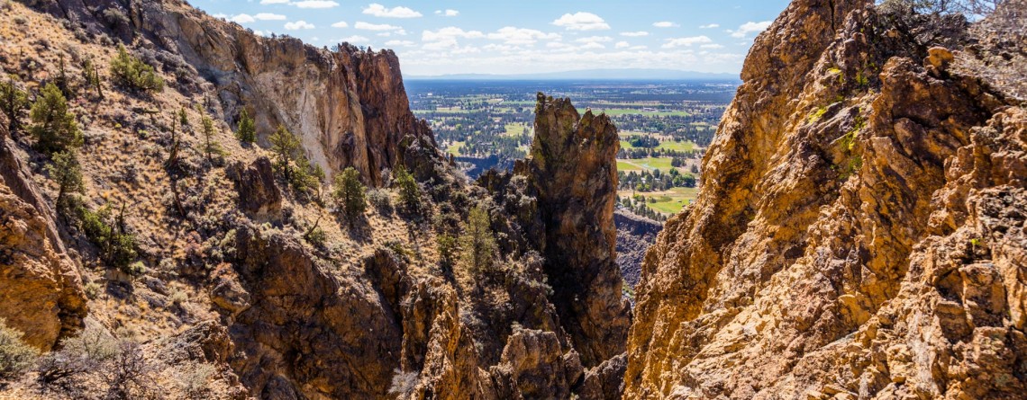
Summit Trail at Smith Rock State Park – unforgettable views

Address: Terrebonne, OR 97760, United States Phone number: 541-548-7501 Length: 2 miles GPS Coordinates: N 44 21.952 W 121 08.233 The Summit Trail is the youngest trail in the park, which was opened in 2013. It is actually a connecting trail and is usually hiked as a part of Summit Trail Loop which starts at the parks’ Welcome Center and runs for approximately 7, 5 miles throughout the Smith Rock State Park, and includes Canyon Trail, River Trail, Summit Trail, Burma Road Trail and Wolf [...]

River Trail 27

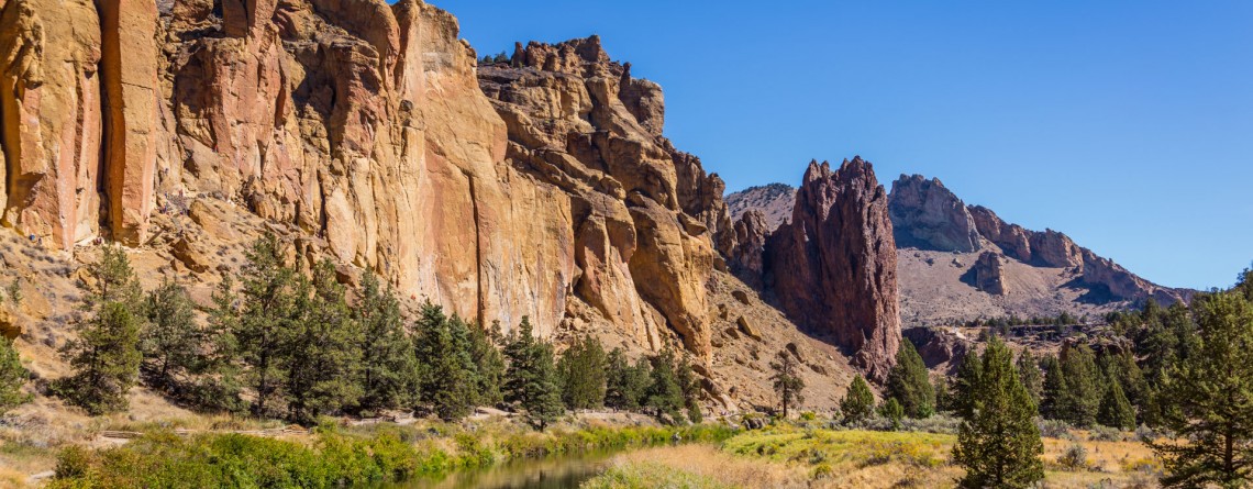
Amazing River Trail at Smith Rock State Park

Address: Terrebonne, OR 97760, United States Phone number: 541-548-7501 Length: 0.68 miles GPS Coordinates: N 44 21.952 W 121 08.233 Information Center: Crooked River National Grassland, 274 SW 4th Street, Madras, OR River Trail is an extremely easy picturesque trail, especially popular and often visited by families with kids and various age visitors, who are eager to enjoy all the beauty of Smith Rock State Park without climbing the strenuous trails, preferring a pleasant saunter at a leisurely pace. To find to the River Trail from the [...]

Misery Ridge Trail 24

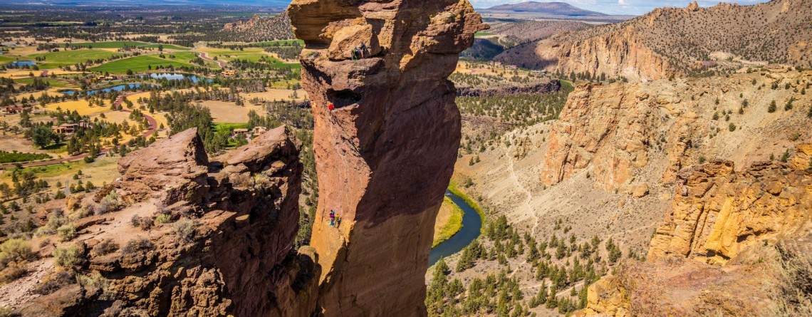
Misery Ridge Trail at Smith Rock State Park

Address: Terrebonne, OR 97760, United States Phone number: 541-548-7501 Length: 0.68 miles GPS Coordinates: N 44 21.952 W 121 08.233 Information Center: Crooked River National Grassland, 274 SW 4th Street, Madras, OR Misery Ridge Trail is probably the most popular and well-known trail of the Rock Smith State Park, but for inexperienced hikers it may also seem one of the most strenuous trails of this state park. Its steep ascend at the beginning caused lots of troubles to early pioneers, trying to cross over the mountain [...]

Skull Hollow Campground 9

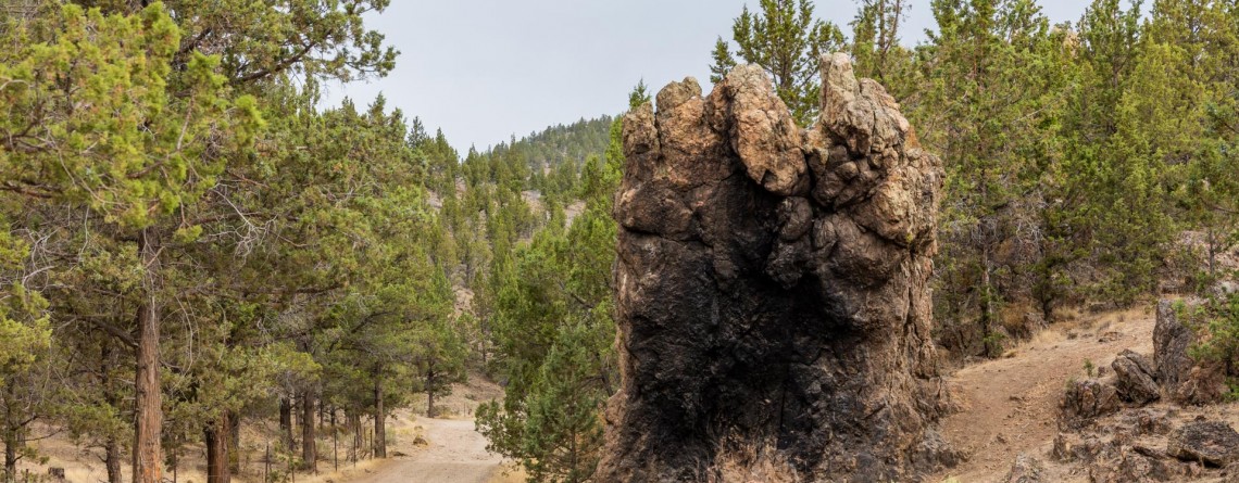
Skull Hollow Campground at Smith Rock State Park, Oregon

Address: Terrebonne, OR 97760, United States Phone number: 541-548-7501 Acreage: 651.68 Day-use: Fee Annual Pass: 24 month pass $5, $30, $50 GPS Coordinates: N 44 21.952 W 121 08.233 Information Center: Crooked River National Grassland, 274 SW 4th Street, Madras, OR Rock Smith State Park is a unique place with unbelievable landscape visited by hundreds of thousands people annually. It is the real Paradise for the climbers offering f couple of thousands of routs for climbing with various levels of difficulty. The only thing this wonderful park is missing is [...]