East Mesa Trail (going to Observation Point)


Location: Zion National Park, Utah
Length: 3,3 miles (one way trip)
Elevation Gain: 280 feet
Difficulty: Moderate
GPS Coordinates: N 37 17.819 W 112 54.013
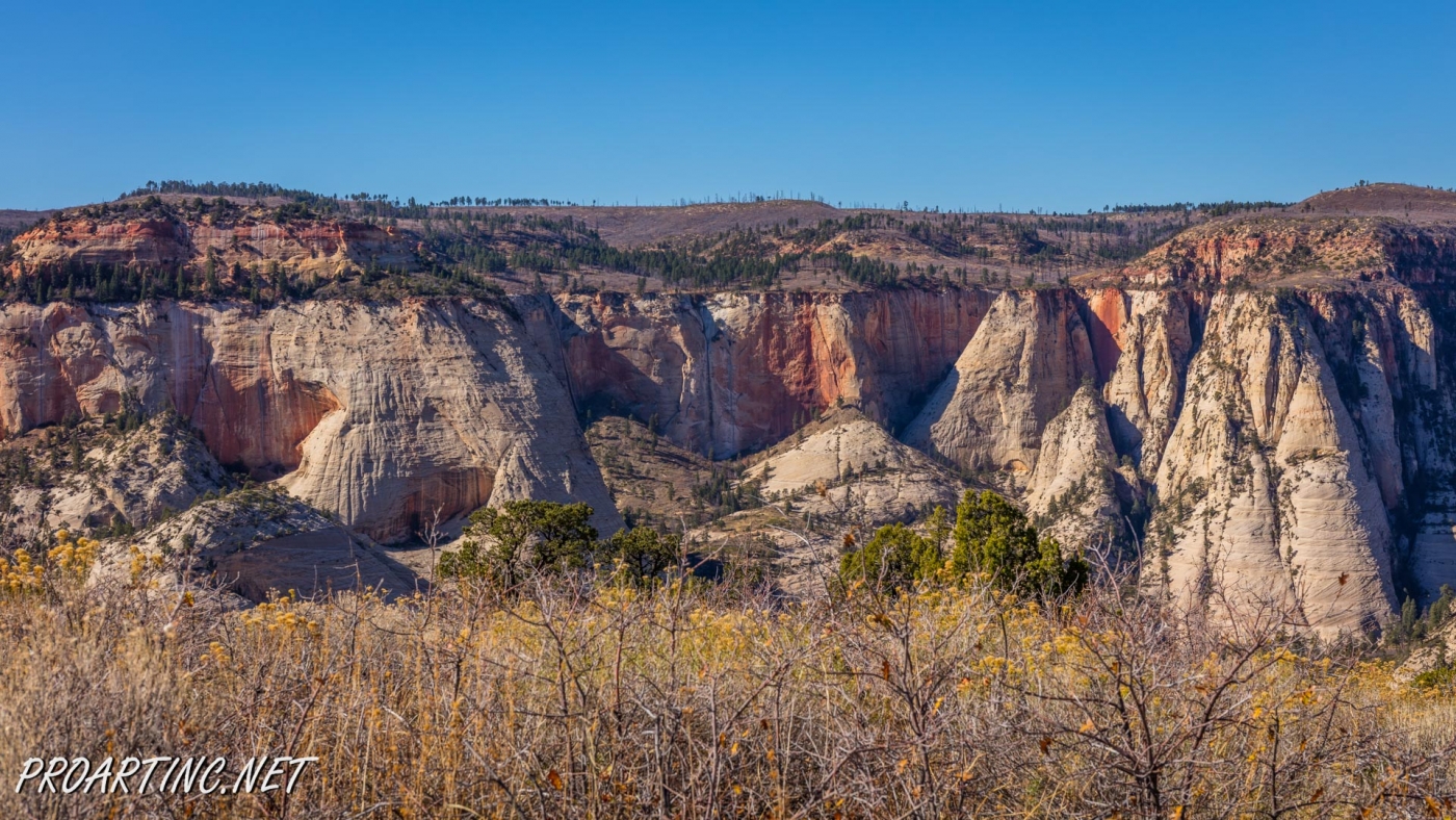
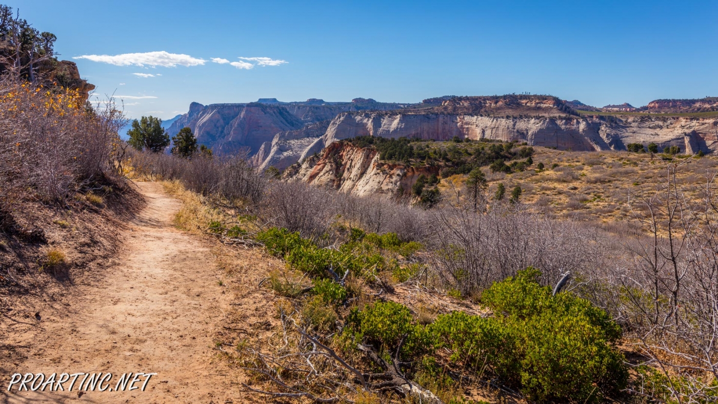
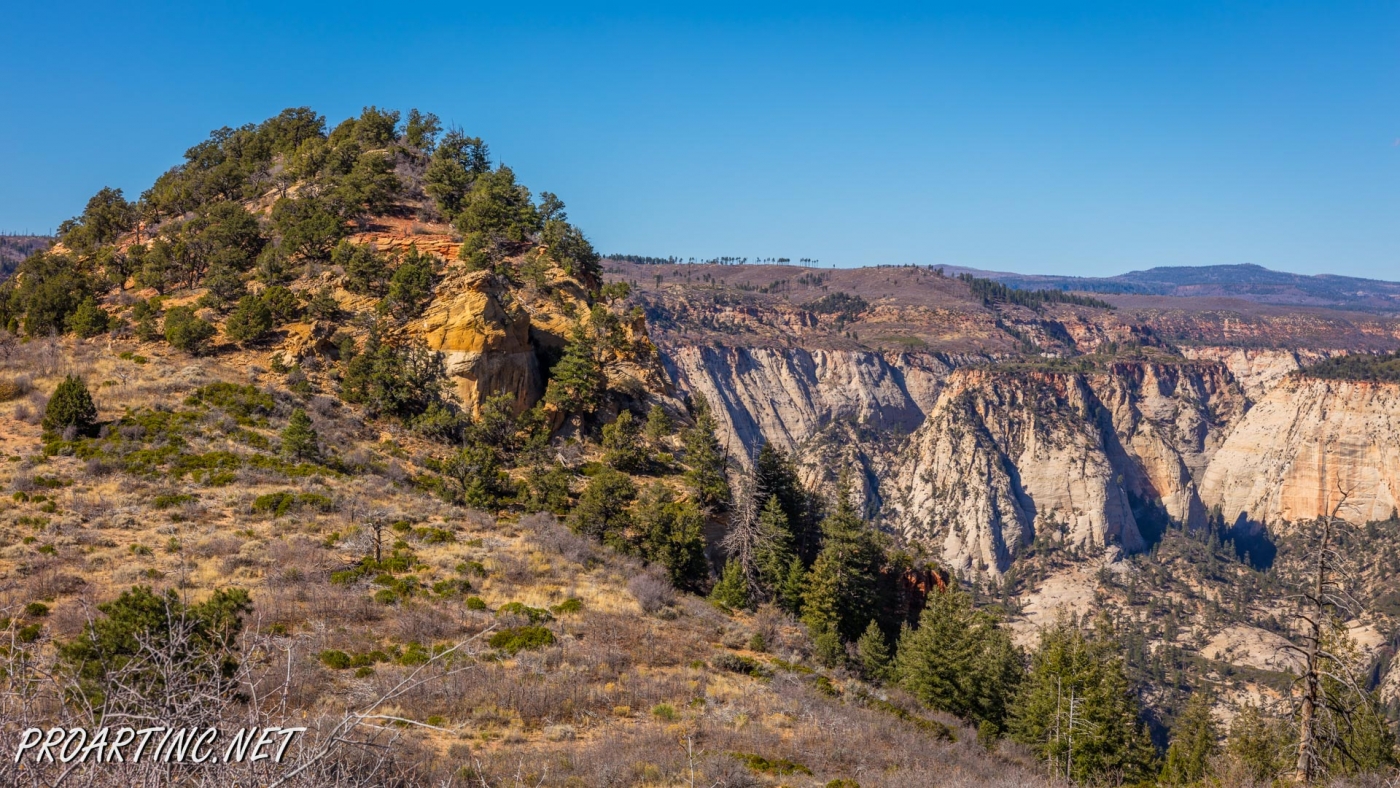
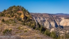
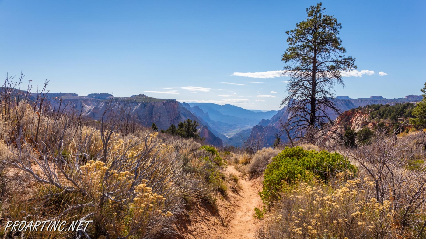
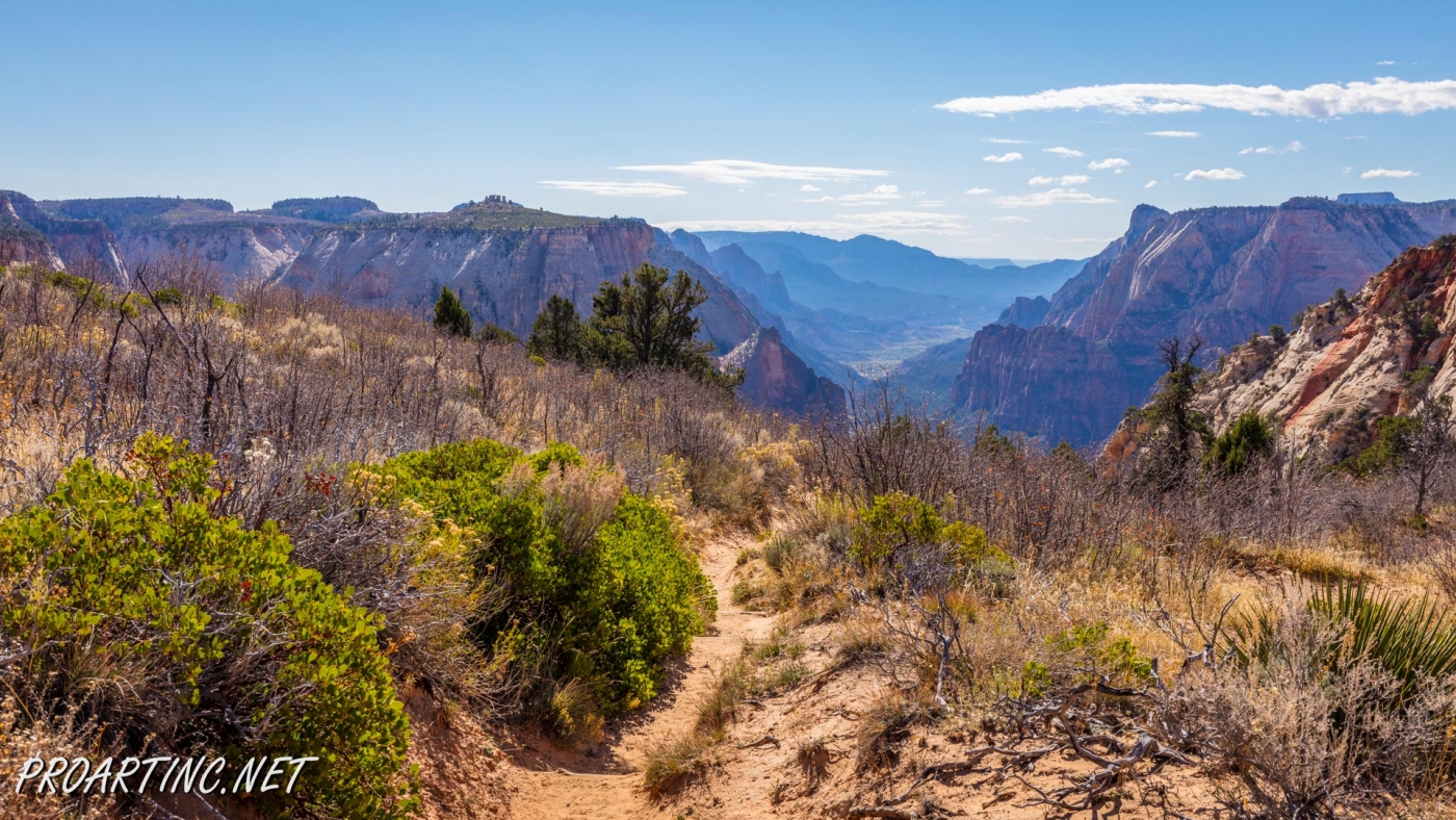
Zion National Park has several overlooks providing the visitors with an amazing panorama of the park’s canyons. One of them is Observation Point, situated at the Eastern Rim of Zion Canyon, at elevation of approximately 6,500 feet.
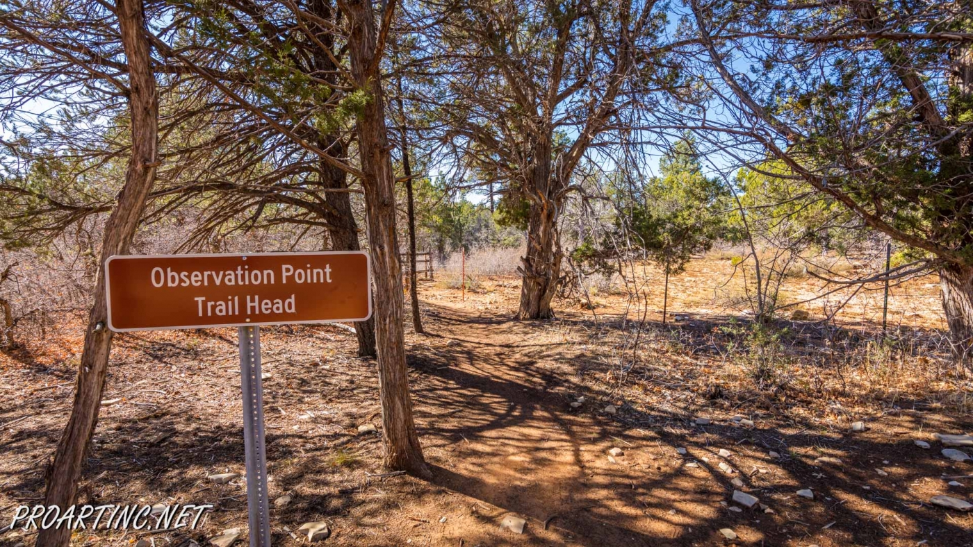
The usual starting point for the hikers, willing to reach Observation Point, is the Weeping Rock Trailhead, which is actually the start for a strenuous 4 miles hike along the East Rim Trail with the elevation gain of almost 2,100 feet. But if due to some reasons (health condition, low skill level or just lack of time and desire to scramble among rocks) you cannot use this way but still want to enjoy incredible views of the canyon from this unique vantage point, there is one more option. In this case the East Mesa Trail is just a perfect solution for you.
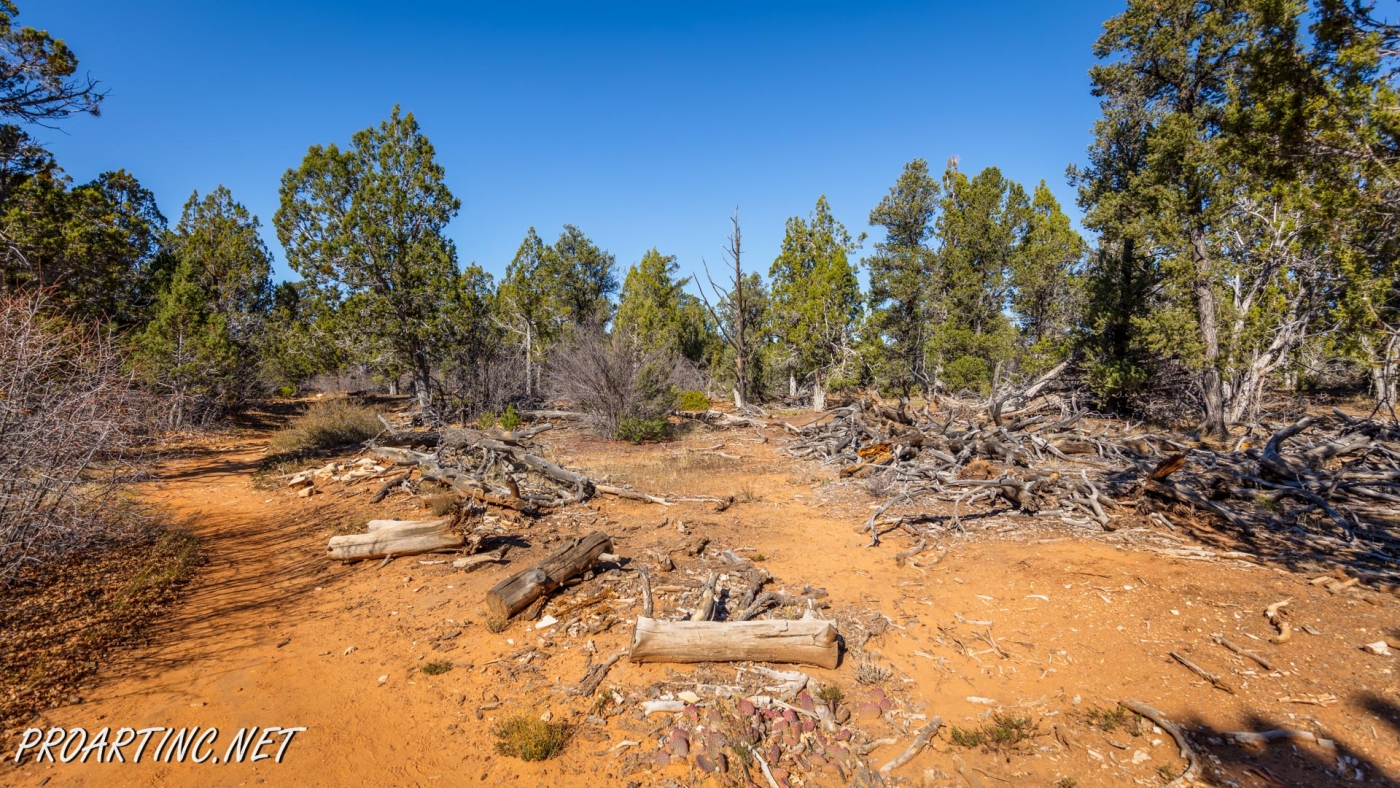
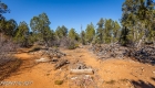
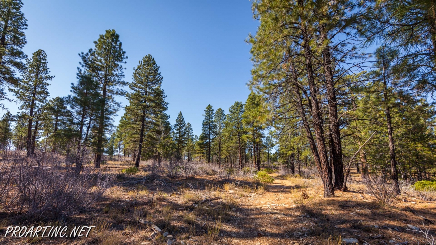
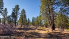
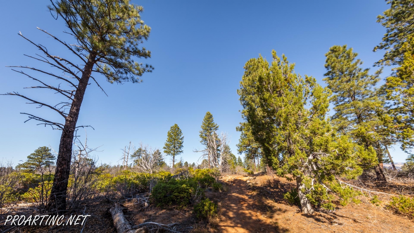
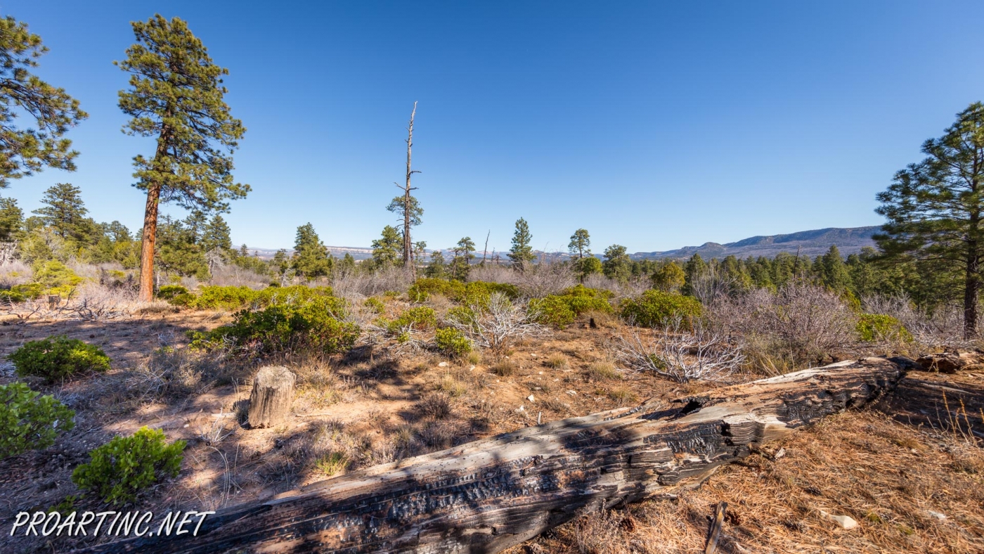
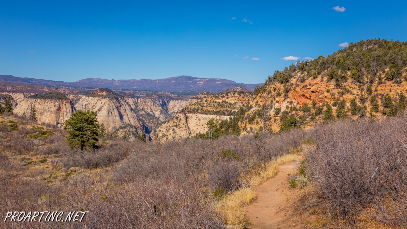
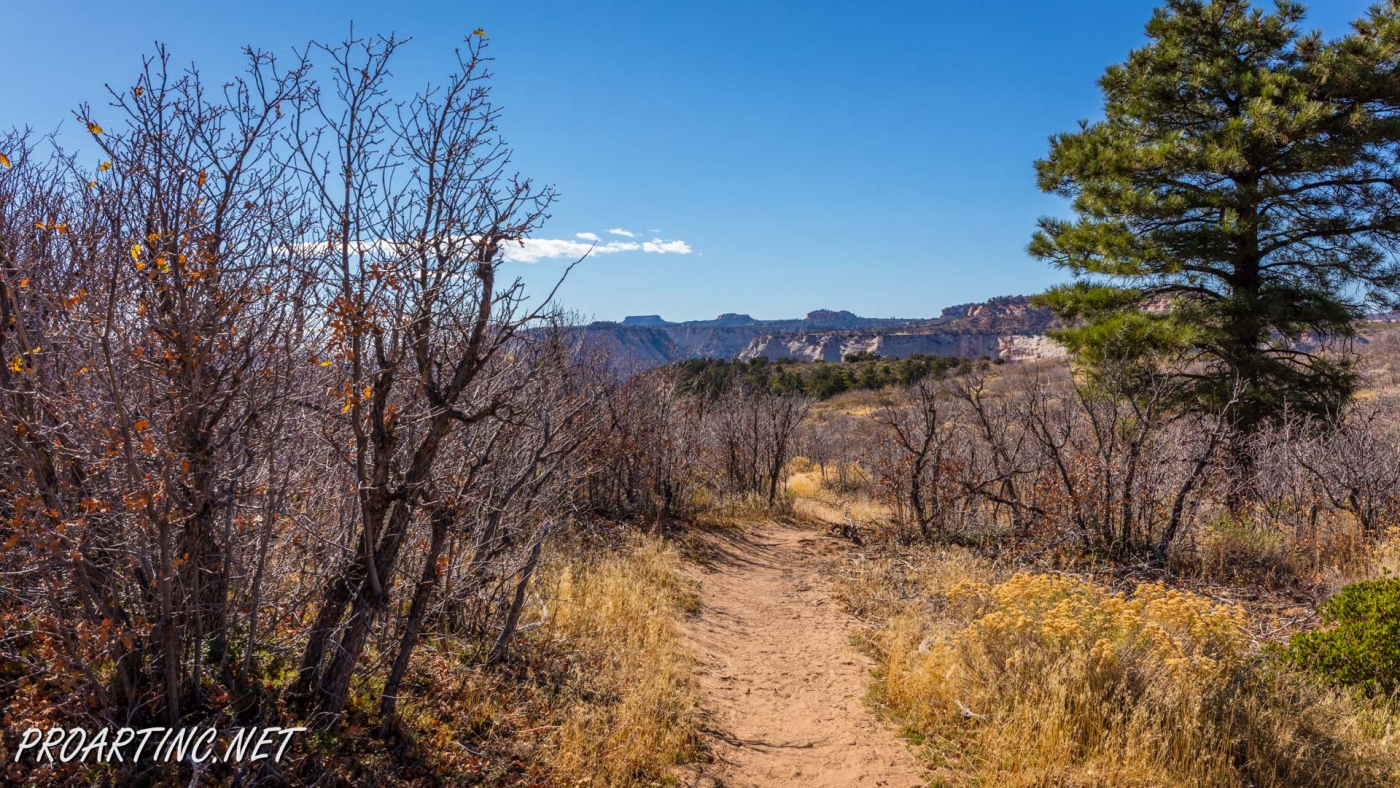
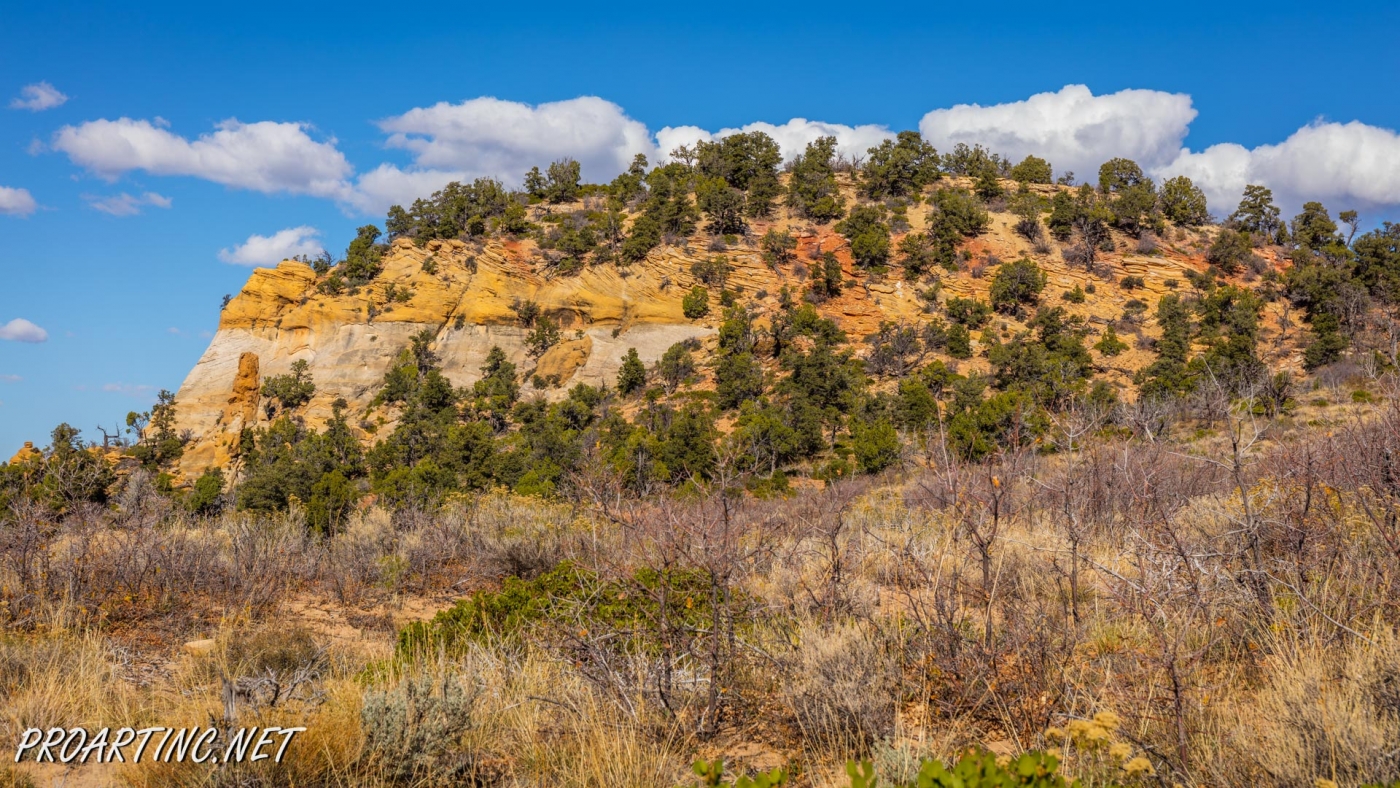
This 3,3 miles trek is much less strenuous (but unfortunately also less spectacular and picturesque) way also leading to Observation Point. This trail runs through lightly forested plateau, providing the travelers with the views of the surrounding canyons and mesas along the way. The trail is mostly leveled and easy. Actually the hardest part of your hike will be finding the trailhead that is why we highly recommend you to arm yourself with a map.
On your way you will pass two trail junctions: one is at a distance of approximately 2 miles from the trailhead, and if you take right turn here, the trek will take you to Mystery Canyon, it’s a technical route used mostly by canyoneers and it needs a lot of equipment, so it’s not for you, you just need to keep going straight.
The next trail junction with the Observation Point Trail you will pass approximately half a mile before the destination point. Once at the Observation Point – enjoy some of the most breath-catching and thrilling views of Zion National Park.
Driving directions to the trailhead:
Drive approximately 2.4 miles from the East Entrance (or 1,7 miles from the eastern border) of Zion National Park along Route 9, until the junction with North Fork Road. Here you should turn north and drive along North Fork Road until reaching the Panderosa Ranch at 5.2 miles. Take a left turn driving under the black arch at Panderosa Ranch, then after 0,7 miles turn right to find yourself on Twin Knolls Road. Then drive 1,45 miles along Twin Knolls Road until reaching an intersection where you should turn right. After approximately 2,6 miles drive along a dirt road you will see a brown sign “Observation Point”. At 2,85 more miles you will see a “Y-junction”, where you need to take a left turn and drive for 0.1 mile until the gate and the trailhead of the East Mesa Trail.
Photo: Roman Khomlyak
Photo Editing: Juliana Voitsikhovska
Information: Svetlana Baranova
Pictures taken: 11/3/16


Leave a Reply
You must be logged in to post a comment.