Tag - hiking

Dante's View 23

Hiking around Death Valley: Dante’s View

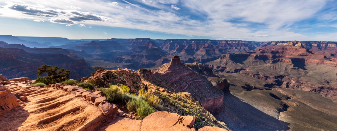
Location: Death Valley National Park Elevation gain: 250-300 ft GPS Coordinates: N 36 13.238 W 116 43.584 Dante’s View is a fabulous overlook that is considered one of the best high elevations and easily-accessible viewpoints in California.  This viewpoint is situated at the edge of the Black Mountains and provides gorgeous views of southern part of Death Valley National Park. This place is considered to be one of the most photogenic places in the entire National Park. Thirteen-mile road leads you to Dante’s View, be prepared [...]

Bright Angel Trail, South Rim 68

Bright Angel Trail – the Premiere Trail of the Grand Canyon

Location: Grand Canyon, South Rim Round Trip: 19 miles Difficulty: Strenuous Elevation Change: 4,380 feet Highest Point: 6,860 feet (at the trailhead) GPS Coordinates: N 36 3.432 W 112 8.623 Visitor’s Information All year round   The Bright Angel Trail is one of the three trails of the Grand Canyon, which lead to the very Colorado River. Two others are the South Kaibab Trail and the North Kaibab Trail. But the Bright Angel Trail is considered to be in the greatest demand and is the most heavily used trail of the Grand Canyon. And [...]

Painted Hills Overlook Trail 14

The Best Views of the Painted Hills Overlook Trail

Location: Painted Hills Unit, John Day Fossil Beds National Monument, Oregon Round Trip: 0,5 miles Difficulty: Easy Elevation Gain: 100 feet GPS Coordinates: N 44 38.997 W 120 16.005 Visitor’s Information Open: all year round No Pass Required   One more option to enjoy some really scenic views of the Painted Hills and get the most out of this incredible area is hiking the Painted Hills Overlook Trail. It’s much shorter than the Carroll Rim Trail, but the fabulous views it opens for its visitors are highly competitive with those of the Carroll [...]

Leaf Fossil Trail 31

The secret treasure of the Leaf Fossil Trail

Location: Painted Hills Unit, John Day Fossil Beds National Monument, Oregon Round Trip: 0,25 miles loop Difficulty: Easy GPS Coordinates: N 44 38.57 W 120 17.151 Visitor’s Information Open: all year round No Pass Required   At first glance the Leaf Fossil Trail (which is also known as the Leaf Hill Trail) may seem the least remarkable out of all trails meandering throughout the Painted Hills Unit. You will not find here the sweeping views or incredible panoramas of undulating, variegated hills of the unit. But this trail has something more [...]

Carroll Rim Trail 64

The surreal views of the Carroll Rim Trail

Location: Painted Hills Unit, John Day Fossil Beds National Monument, Oregon Round Trip: 1,6 miles Difficulty: Moderate Elevation Gain: 400 feet GPS Coordinates: N 44 39.117 W 120 16.042 Visitor’s Information Open: all year round No Pass Required The Painted Hills Unit is one of three parts /units of the John Day Fossil Beds National Monument. And if the Clarno Unit is one of the most remote and the least visited one, the Painted Hills Unit is the most beautiful part of the National Monument. You don’t need to be scientist interested [...]

Trillium Falls Trail 9

Trillium Falls Trail – a real gem of the Redwood National Park

Location: Redwood National Park, California Round Trip: 2,8 miles loop Difficulty: Moderate Elevation Gain: 400 feet GPS Coordinates: N 41 19.440 W 124 02.621 Visitor’s Information Open: all year round No Pass Required The Trillium Falls Trail is one of the most popular trails in the Redwood National Park, and that is not only due to an easy access to it, but also to the features it is offering to its visitors. This 2,8 miles loop, which is one of the newest trails in the Park (finished in 2002) will take you [...]

Coastal Trail, Hidden Beach Section 34

The Coastal Trail (Hidden Beach Section)

Location: Redwood National Park, California Round Trip: 7,8 miles Difficulty: Moderate Elevation Gain: 600 feet GPS Coordinates: N 41 35.632 W 124 05.913 Visitor’s Information Open: all year round No Pass Required   Worldwide known ancient redwood forests are not the only attraction the Redwood National and State Parks may offer to its visitors. A seventy-mile Coastal Trail provides the visitors with a change in redwoods hiking experience. It takes the hikers through the splendid coastal bluffs and solitary beaches of the Pacific coastline, opening for them amazing marine landscapes. And the most fascinating [...]

Emerald Ridge and Tall Trees 38

Emerald Ridge and Tall Trees Grove

Location: Redwood National Park, California Round Trip: 5,5 miles loop Difficulty: Moderate Elevation Gain: 700 feet GPS Coordinates: N 41 12.488 W 123 59.586 Visitor’s Information Open: only in summer during low water period Free permit is required for the gate The Tall Trees Grove is one of the most popular places among the visitors in the Redwood National and State Parks, even in spite of the fact that among all the attractions of the parks this one is the hardest to reach. For the grove protection from numerous visitors, especially during the [...]

South Kaibab Trail

Location: Grand Canyon, South Rim Round Trip: 14 miles Difficulty: Strenuous Elevation Change: 4,780 feet Highest Point At the trailhead – 7,260 feet GPS Coordinates: N 36 3.177 W 112 5.038 Visitor’s Information Open: all year round No Pass Required   South Rim, being the most popular among the rims and considered the most beautiful one, has a lot of attractions and many trails to offer to its visitors. Most of the tourists prefer to enjoy the beauty and majesty of the Grand Canyon from its edge, but we are sure that the real greatness [...]

Desert View Watchtower 6

Why are the views from Desert View Watchtower are the best ones?

Location:    Grand Canyon, South Rim Hours:    8 a.m. – 8 p.m. Elevation:    7438 feet GPS Coordinates:    N 36 2.649 W 111 49.568 Visitors Information:    Open all year round Entering South Rim from the South Entrance you will find yourself at Grand Canyon Village – a tourist center of the South Rim, with a Visitor Center, all the lodges, restaurants, historical points of interest and main transportation junction of the South Rim. If you decide to travel along the rim enjoying the variety of [...]