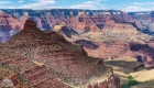
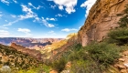
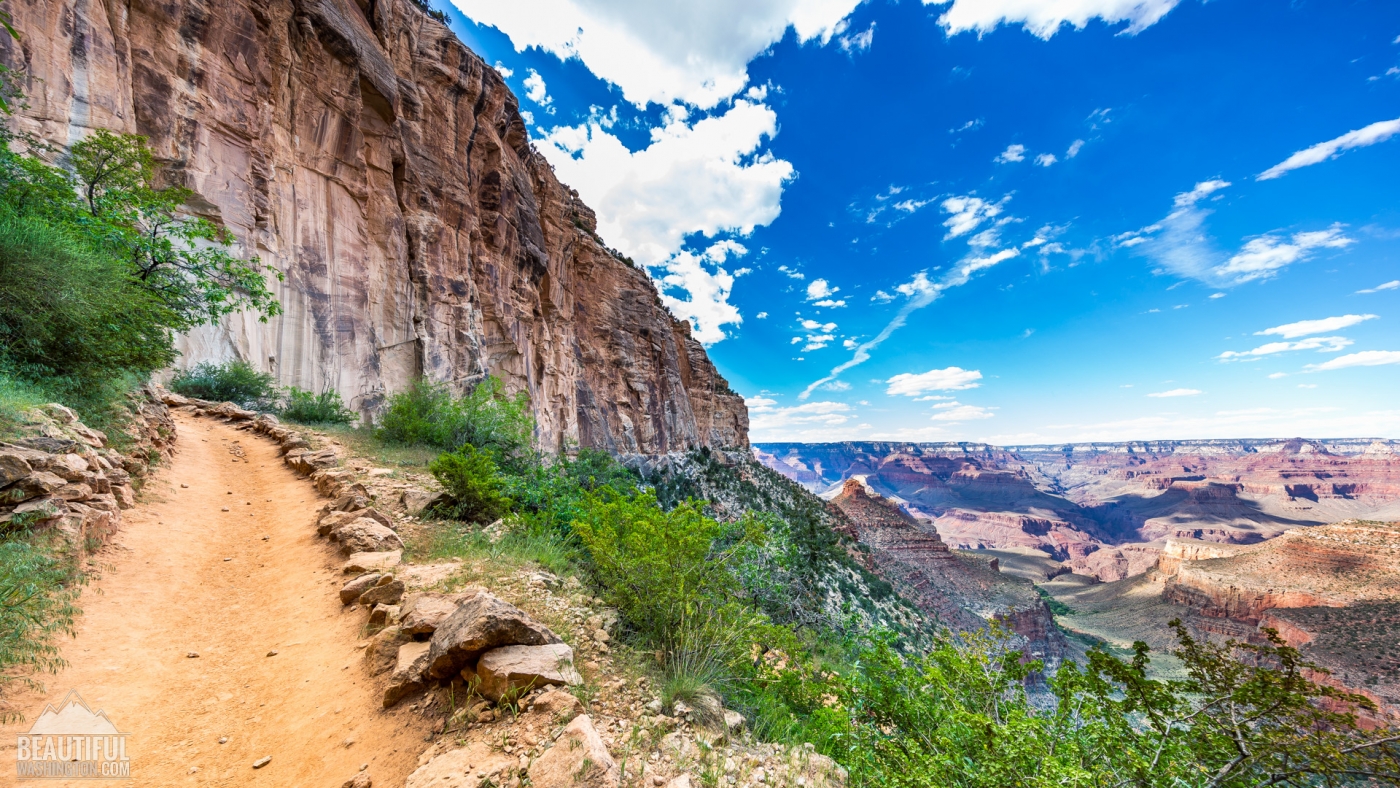
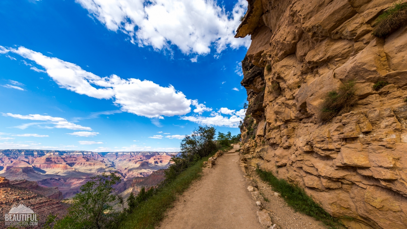
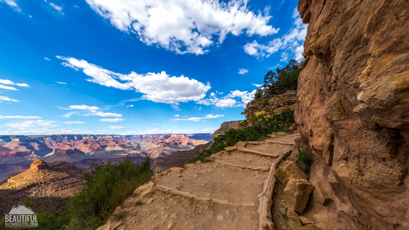
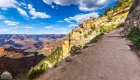
Bright Angel Trail – the Premiere Trail of the Grand Canyon


| Location: | Grand Canyon, South Rim |
| Round Trip: | 19 miles |
| Difficulty: | Strenuous |
| Elevation Change: | 4,380 feet |
| Highest Point: | 6,860 feet (at the trailhead) |
| GPS Coordinates: | N 36 3.432 W 112 8.623 |
| Visitor’s Information | All year round |
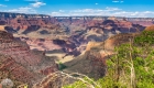
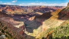
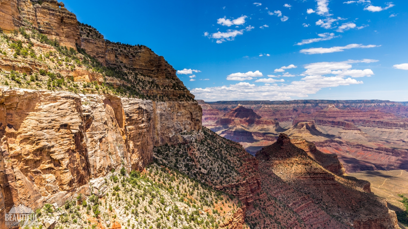
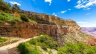
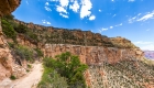
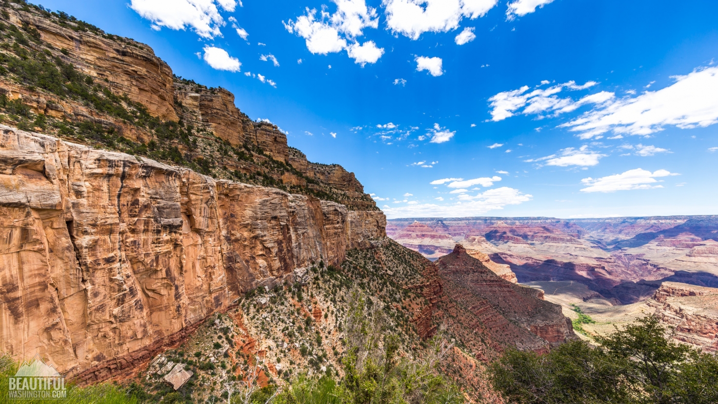
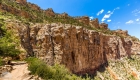
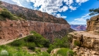
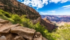
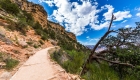
The Bright Angel Trail is one of the three trails of the Grand Canyon, which lead to the very Colorado River. Two others are the South Kaibab Trail and the North Kaibab Trail. But the Bright Angel Trail is considered to be in the greatest demand and is the most heavily used trail of the Grand Canyon. And you will understand why when you learn some information about it.
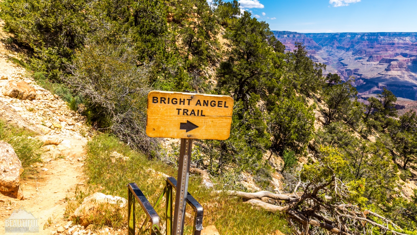
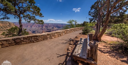
The first advantage of the trail is its location. The Bright Angel Trailhead can be found west of the Kolb Studio, which is situated in Grand Canyon Village. It’s also located at walking distance from the Bright Angel Lodge and most of the parking lots of the area. So, you don’t need a shuttle bus to get there from the Grand Canyon Village area.
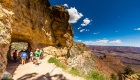
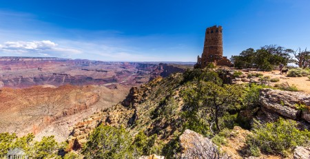
The second advantage of the Bright Angel Trail over the South and North Kaibab Trails is that it has more safety and convenience features to offer to its hikers and visitors. There are covered rest-houses, located along the trail. It is patrolled by rangers and has ranger stations at Indian Gardens and Bright Angel Campground. The year round available potable water can be found at Indian Gardens, River Resthouse and Bright Angel Campground, and also from May till October the water is available at Mile-and-a-Half Resthouse and Three-Mile Resthouse.
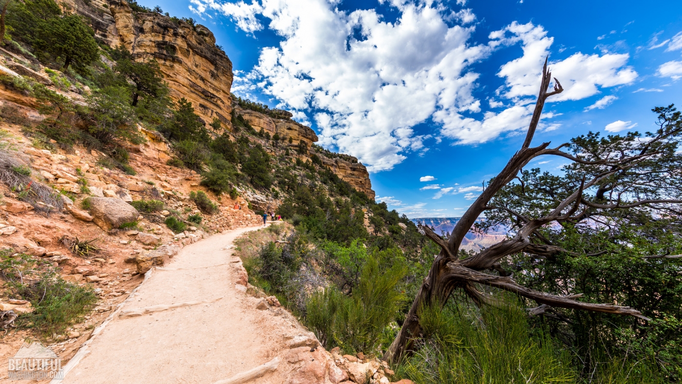
One more advantage of this trail is the shade it provides the hikers with (though it depends on the time of the day you are hiking), because hiking the South and North Kaibab Trails you are staying most of the time in the open sun, which makes the hike quite hard. That’s why a lot of hikers chose the South Kaibab Trail to go down to the Colorado River and then the Bright Angel Trail to climb up back to the South Rim.
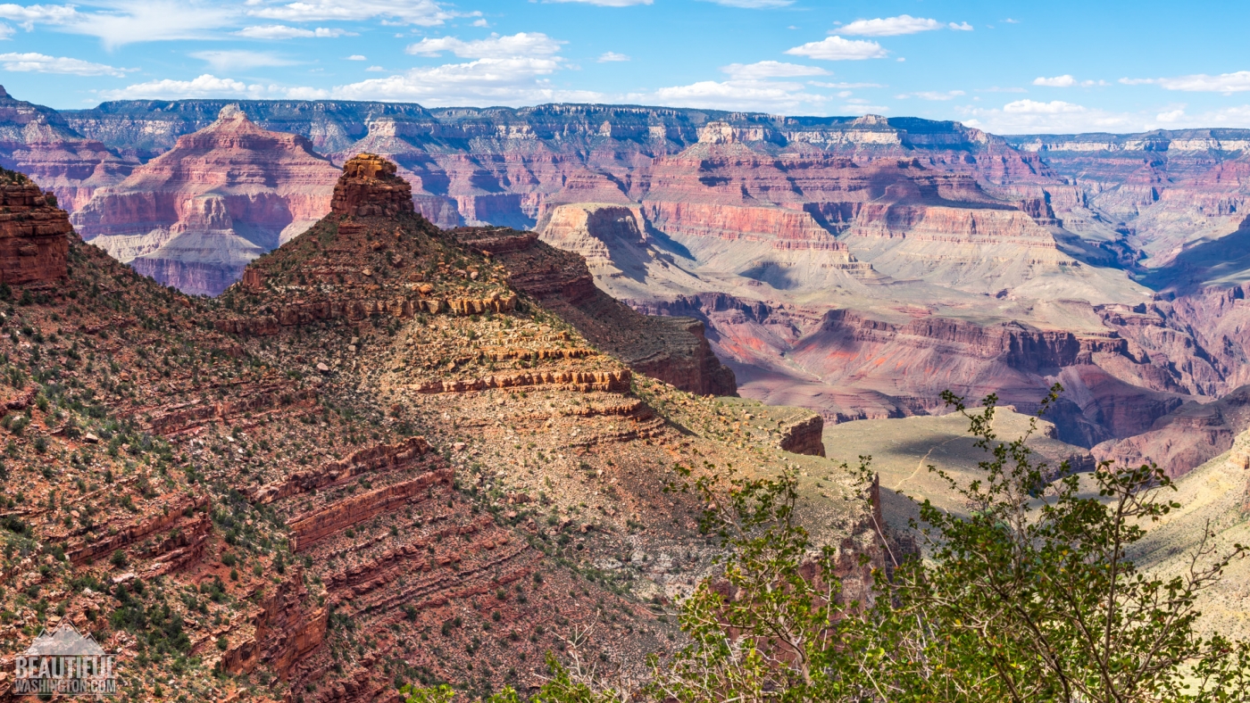
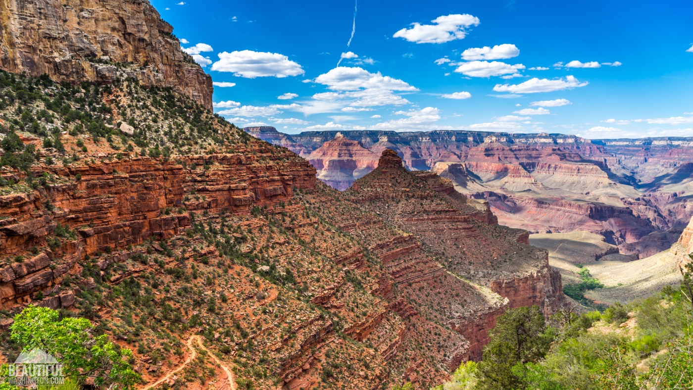
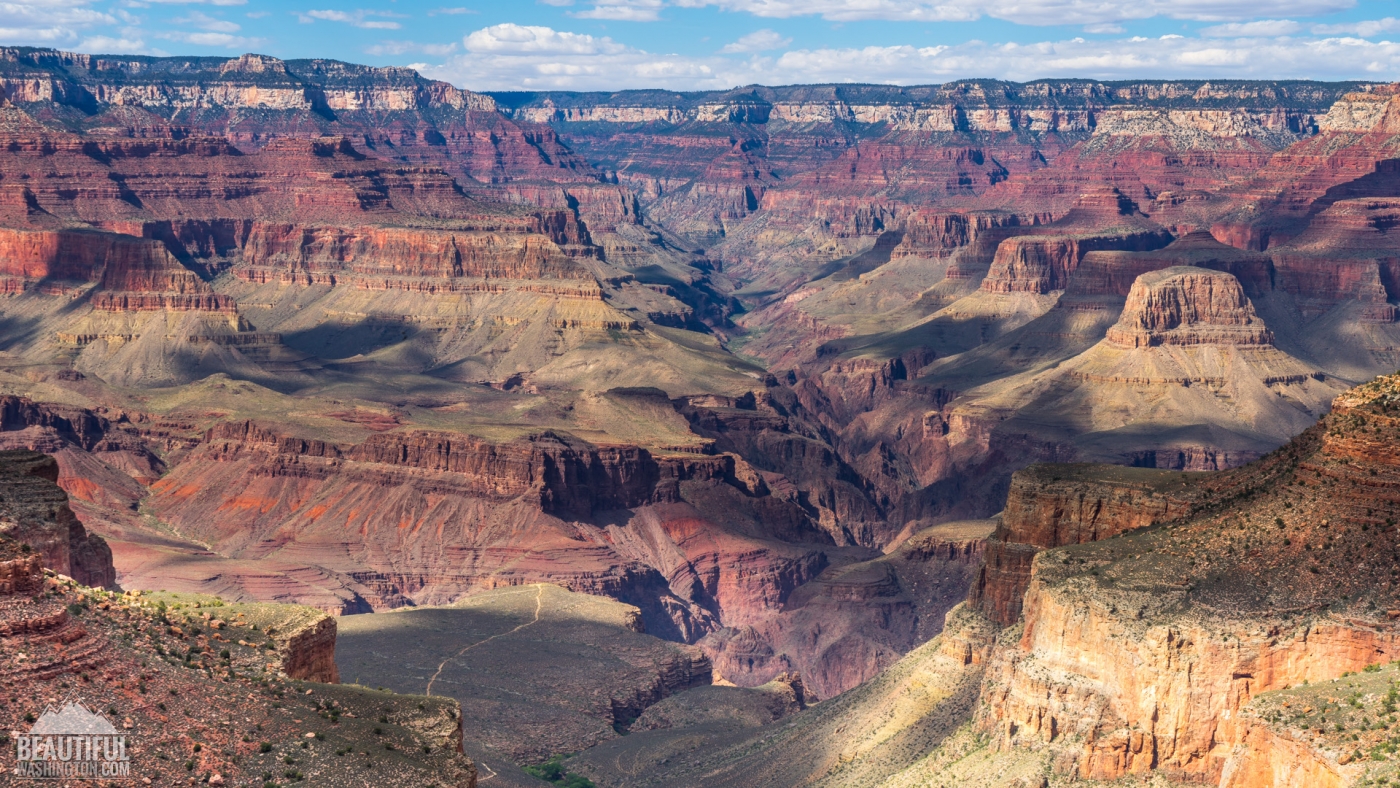
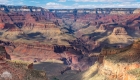
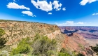
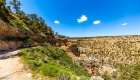
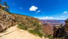
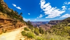
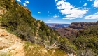
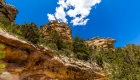
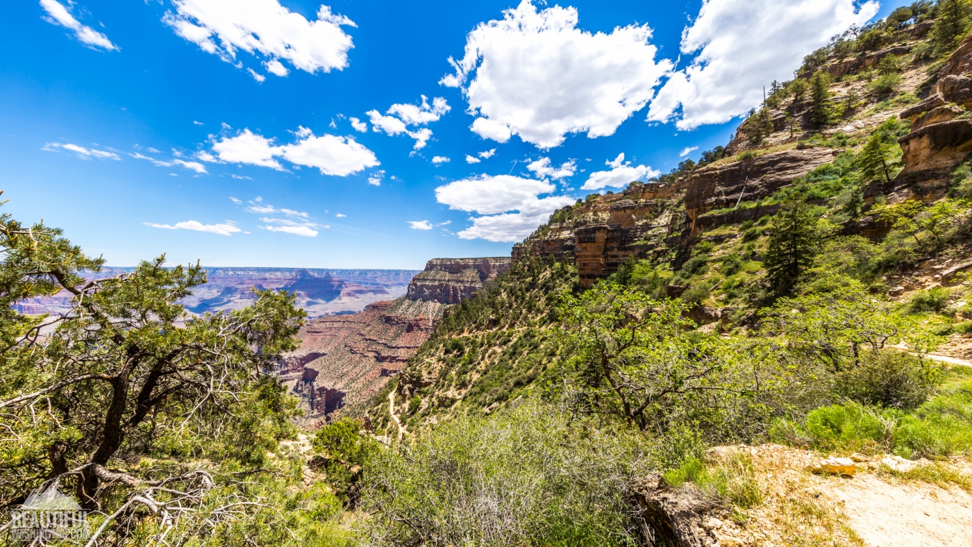
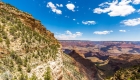
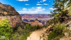
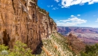
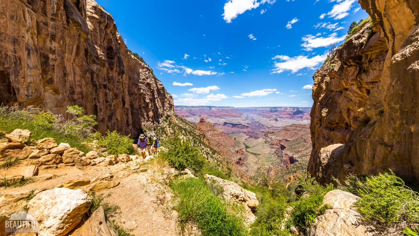
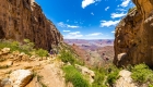
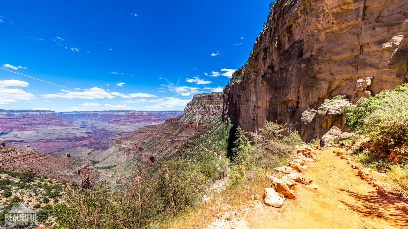
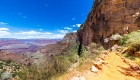
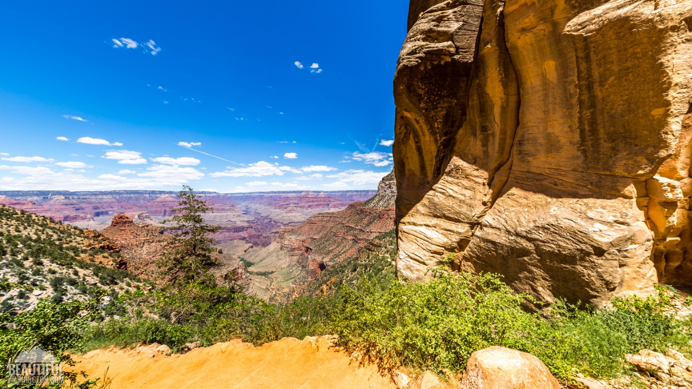
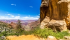
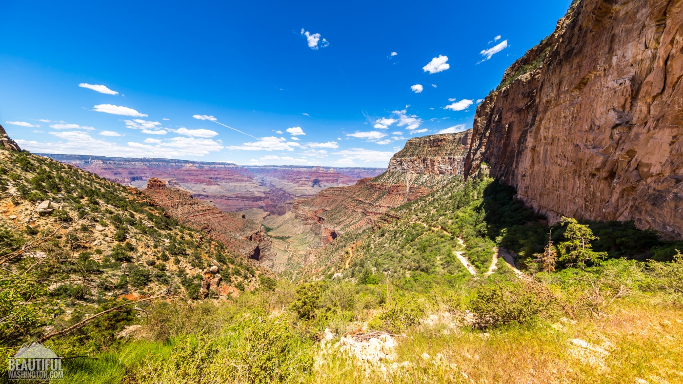
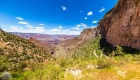
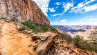
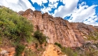
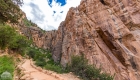
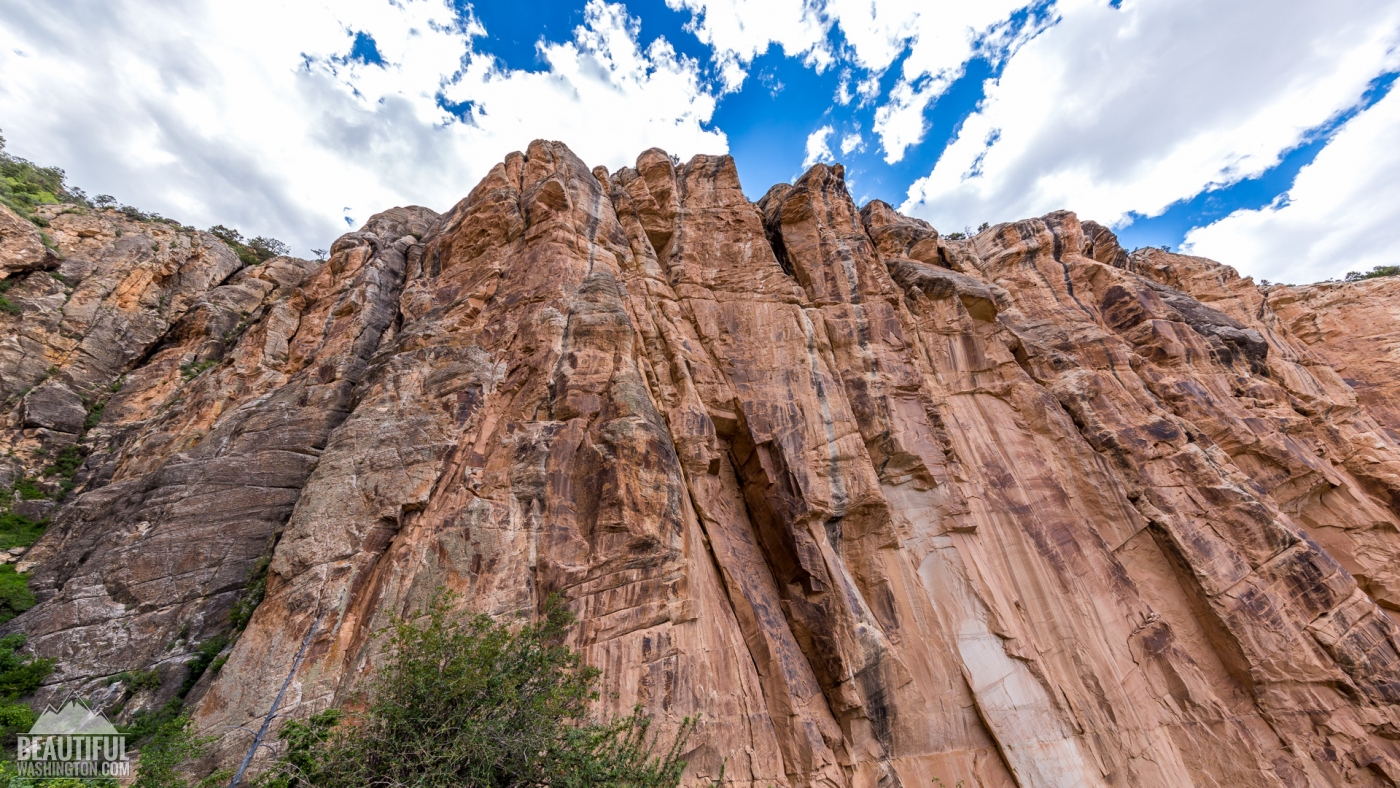
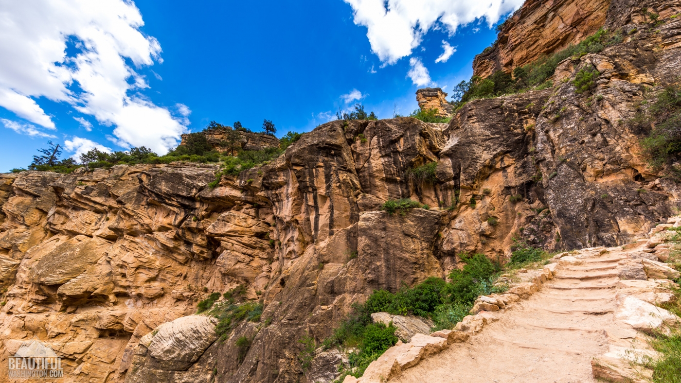
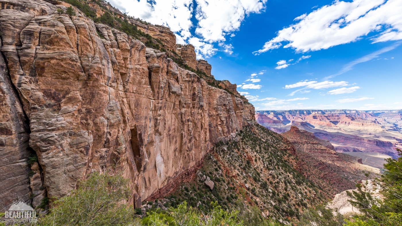
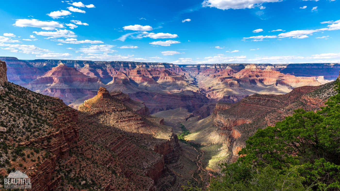
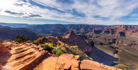
This amazing trail offering the hikers the most fascinating views of the Grand Canyon offers the visitors almost 8 miles trip to the Colorado River and it will take you about 9,5 miles to get from the top of the South Rim to the very bottom, where the Bright Angel Campground is located. The elevation of the trailhead is 6860 feet.
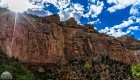
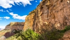
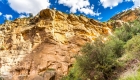
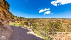
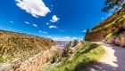
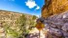
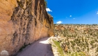
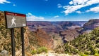
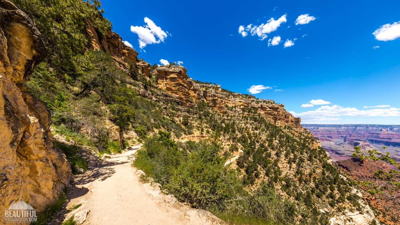
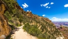
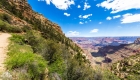
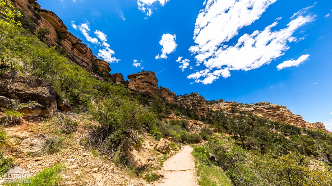
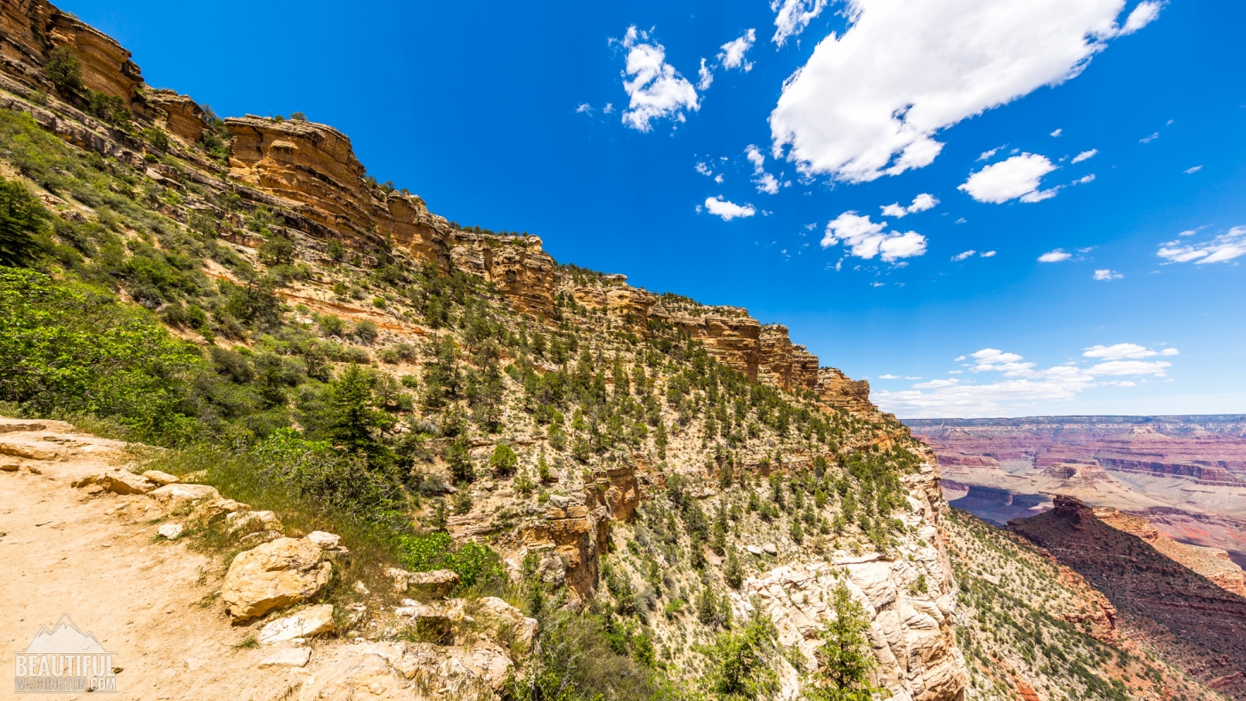
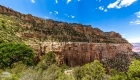
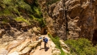
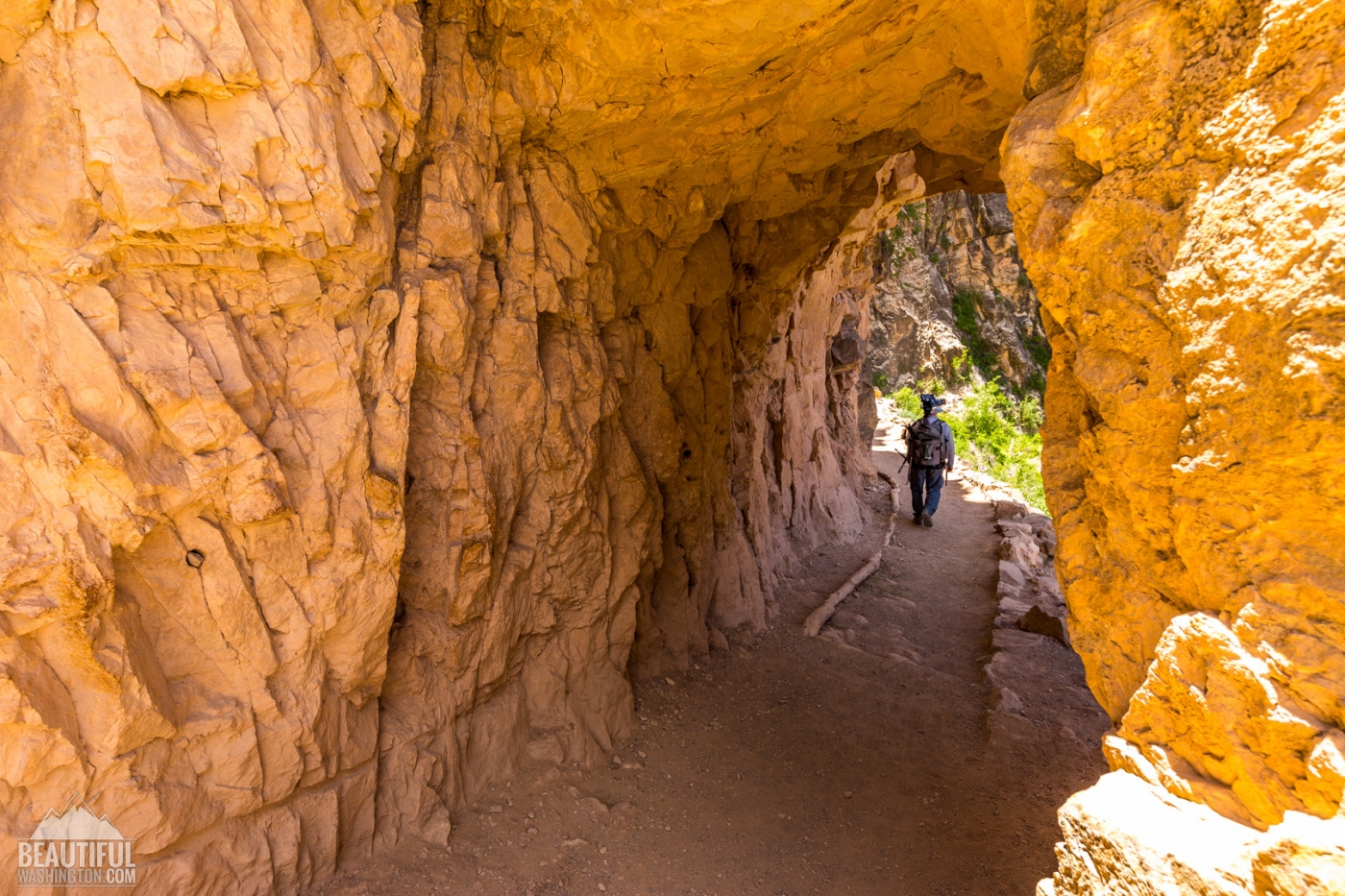
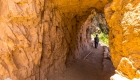
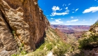
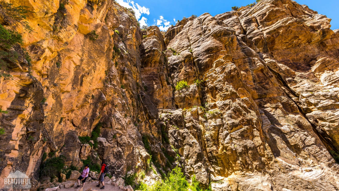
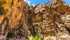
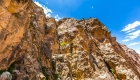
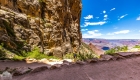
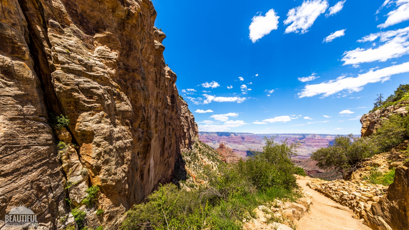
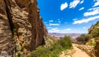
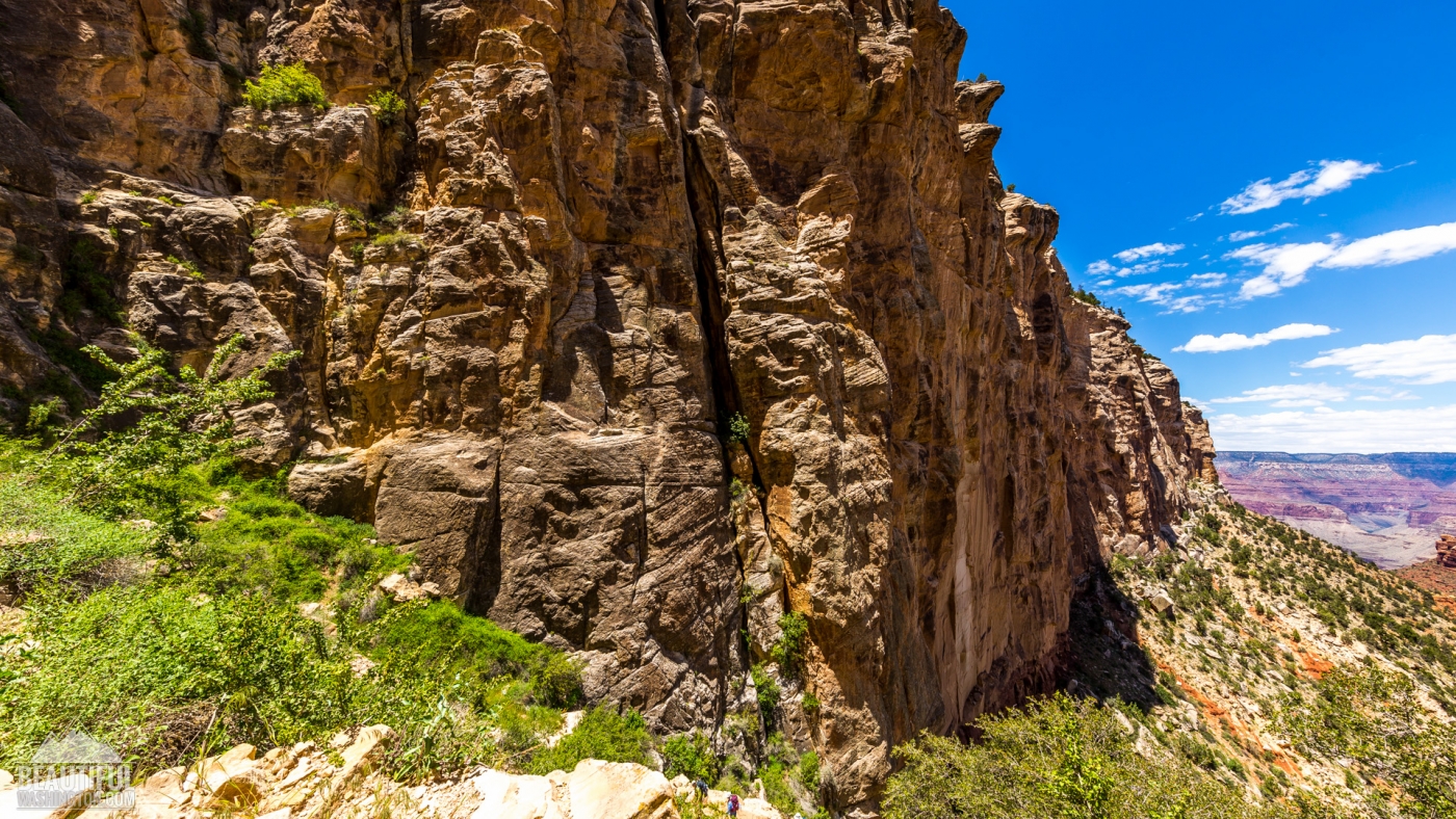
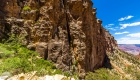
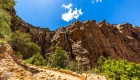
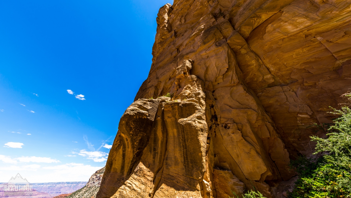
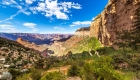
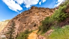
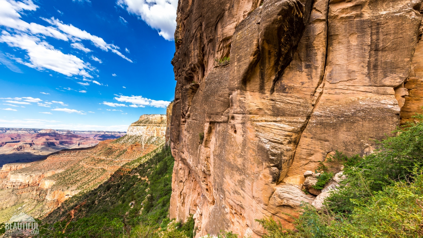
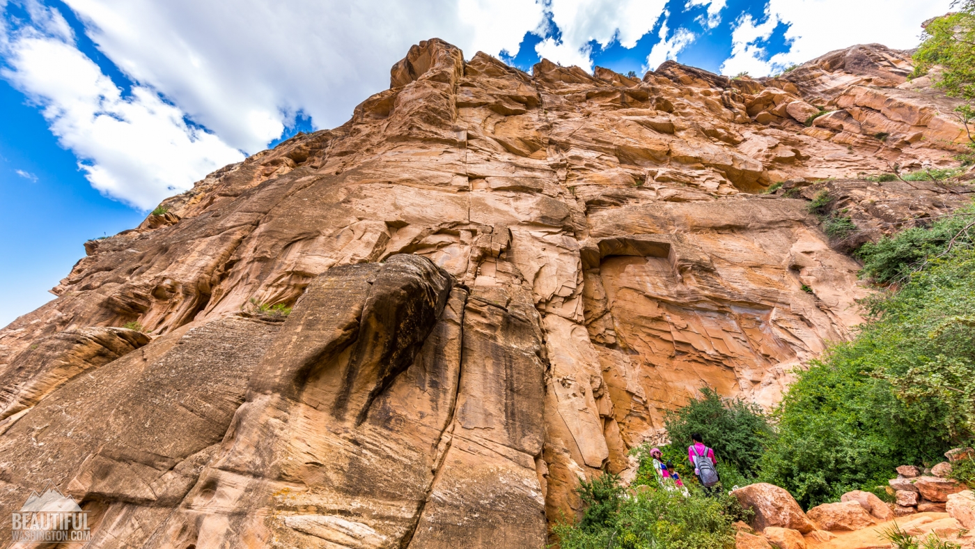
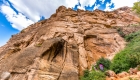
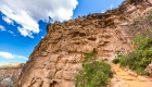
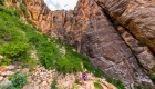
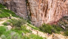
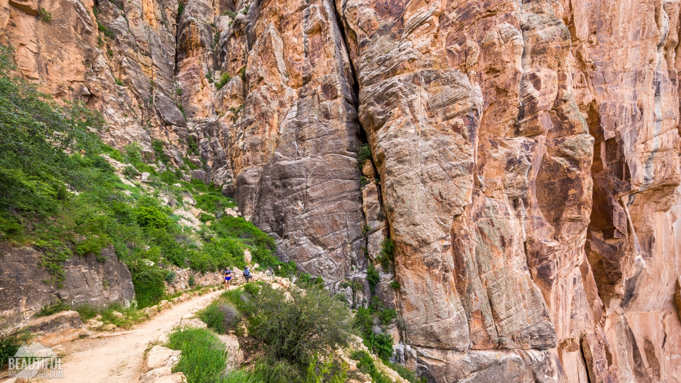
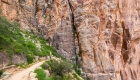
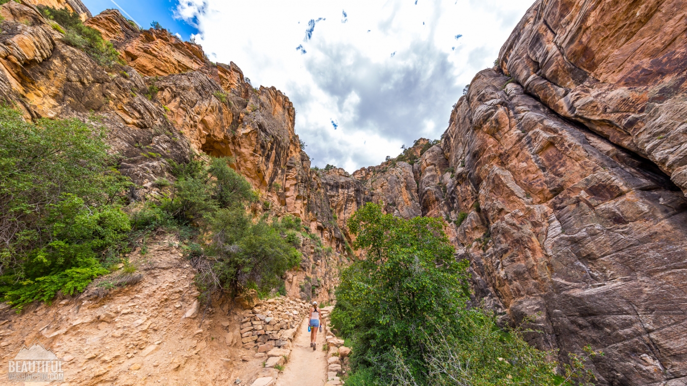
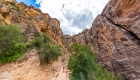
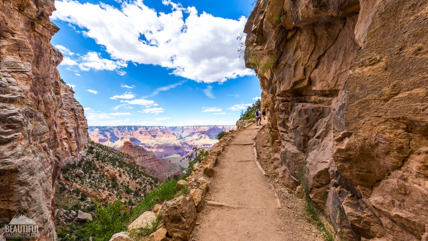
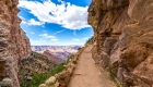
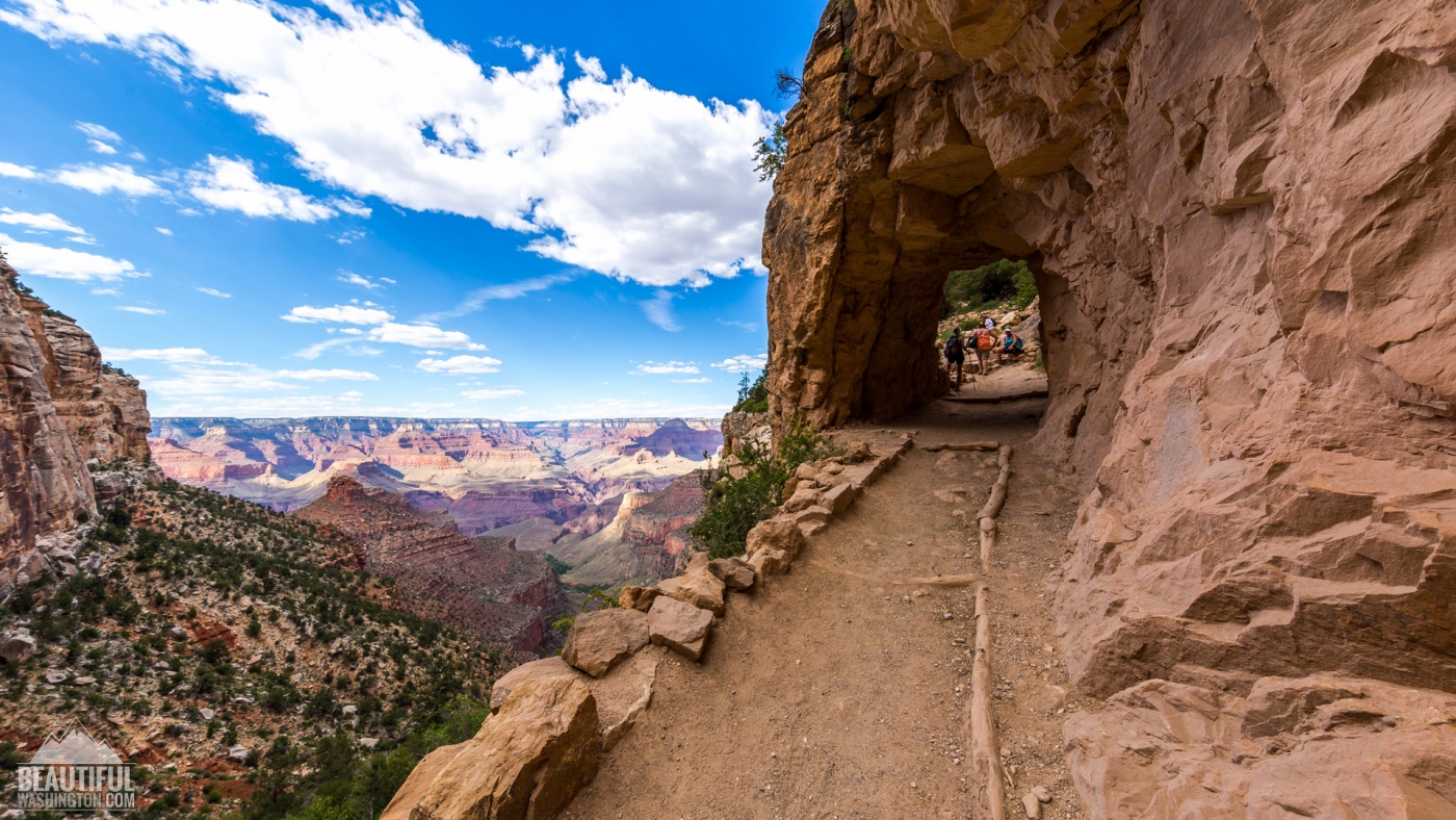
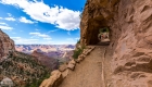
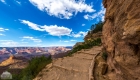
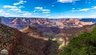
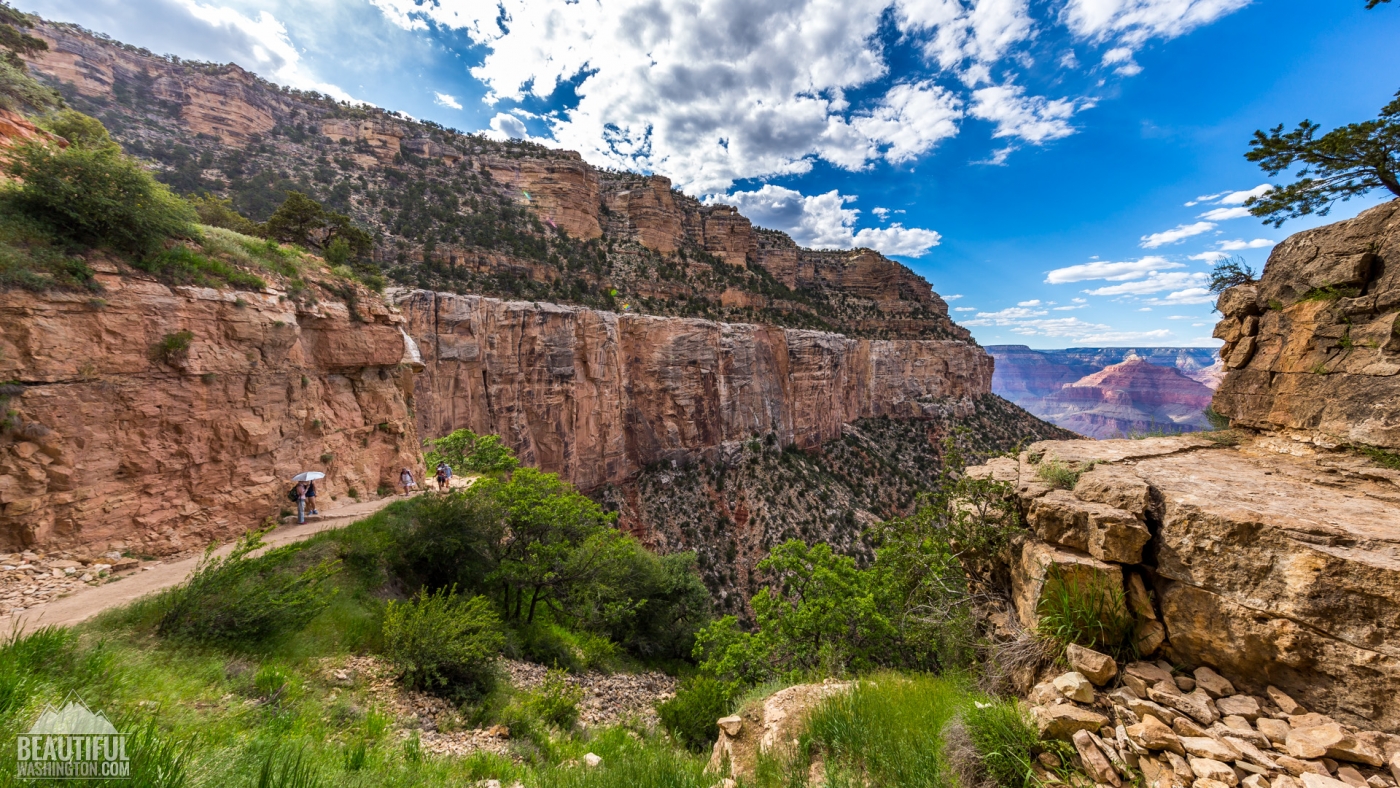
The most strenuous section of the trail is the first four miles (if you are going down from the top of the rim to Colorado River), as here you may notice the biggest elevation change of the trail. But up to the Mile-and-a-Half Resthouse the trail is quite wide. Going there you’ll pass 2 fantastic tunnels, made in the stone. This first resthouse is the turn-around point for those tourists who did not plan to spend the whole day on the trail, or for inexperienced hikers, considering the trail too hard for them. Much less tourists are going further down the trail. That’s why many hikers don’t like these first 1,5 miles of this trail, as they almost often are overcrowded.
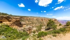
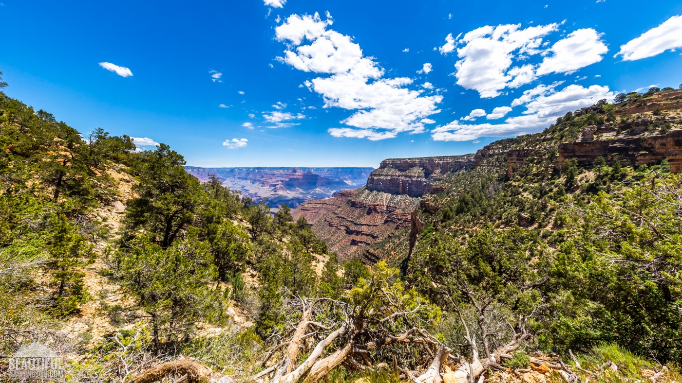
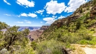
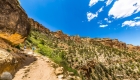
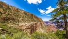
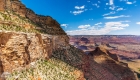
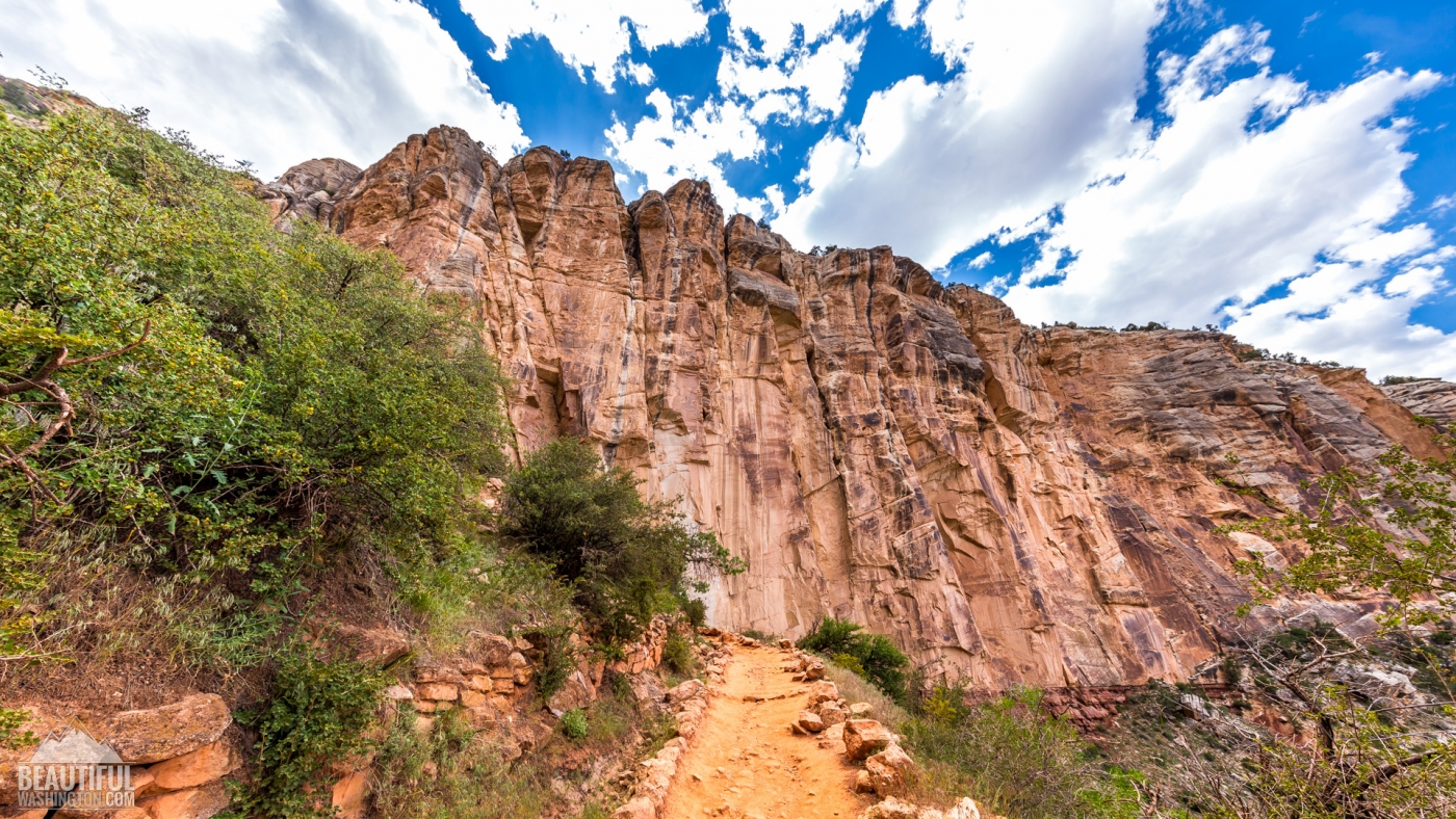
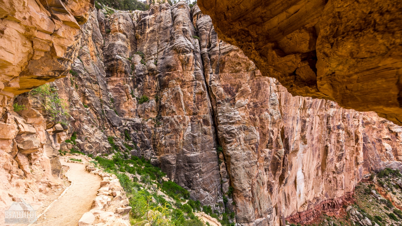
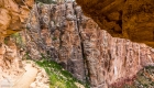
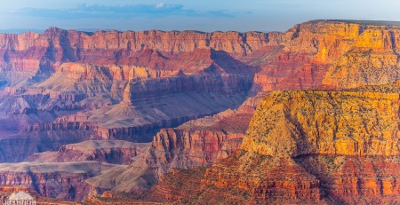
The next section of the trail, consisting of many switchbacks and taking the hikers to the Three-Mile Resthouse, is reported to be the most picturesque section of the trail, opening breathtaking scenes of the canyon. The path here becomes much narrower, that’s why you should watch your steps, especially if you meet the mule riders.
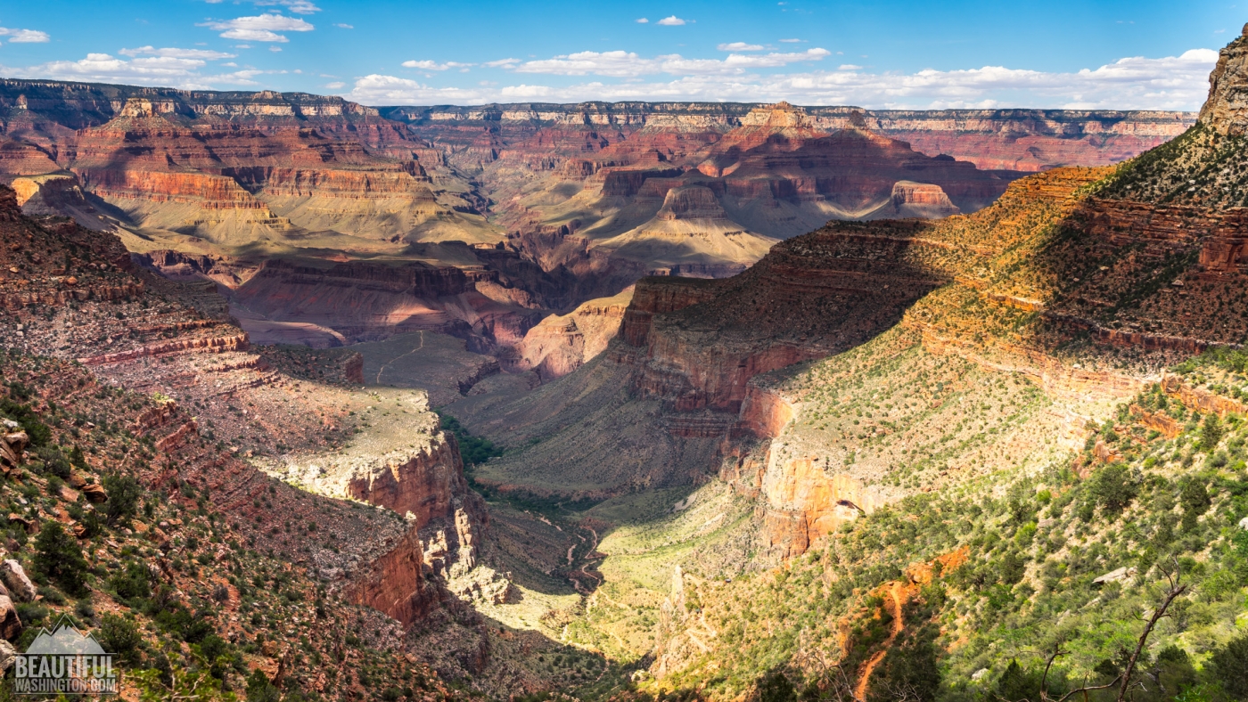
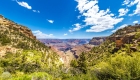
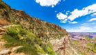
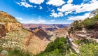
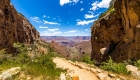
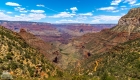
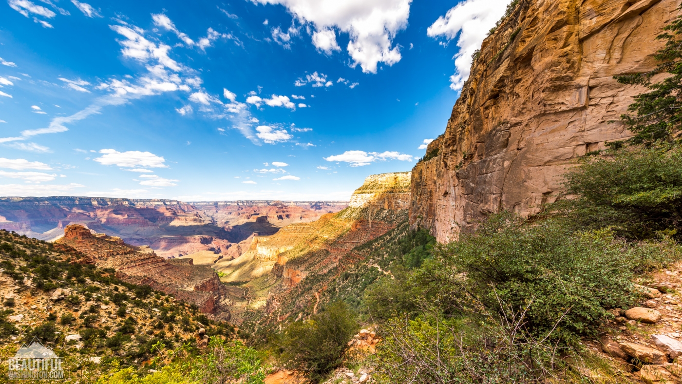
The next rest point is situated at the elevation of 3800 feet and is called Indian Garden. It offers the visitors an admirable place for a picnic and a possibility for camping. If you have enough time and decide to make a side trip from Indian Garden to Plateau Point, you will be rewarded by some really stunning vistas of the Colorado River and the Inner Gorge.
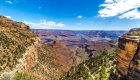
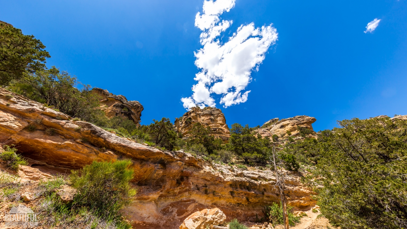
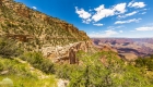
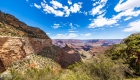
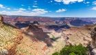
If you decide to reach the Colorado River, mind that there will be no water source after Indian Garden until the Bright Angel Campground. After approximately half a mile from Indian Garden the descending grade of the trail again changes for very steep. Gradually it reaches the place, called the Devil’s Corkscrew, where the descent becomes quite abrupt. This place is especially dangerous (sometimes it costs people their health) during the extremely hot summer months, as it gets unbelievably hot here, and hiking is recommended only during early morning or evening time, when the temperatures are a not so high.
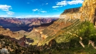
After the Devil’s Corkscrew the path becomes more flat and in half a mile it takes you to the Colorado River, which is officially considered to be the end of the Bright Angel Trail, nevertheless some people think that it continuous up to the Bright Angel Campground, which is 1,5 miles further.
Photo: Roman Khomlyak
Photo Editing: Juliana Voitsikhovska
Information: Svetlana Baranova


Leave a Reply
You must be logged in to post a comment.