South Kaibab Trail
| Location: | Grand Canyon, South Rim |
| Round Trip: | 14 miles |
| Difficulty: | Strenuous |
| Elevation Change: | 4,780 feet |
| Highest Point | At the trailhead – 7,260 feet |
| GPS Coordinates: | N 36 3.177 W 112 5.038 |
| Visitor’s Information | Open: all year round
No Pass Required |
South Rim, being the most popular among the rims and considered the most beautiful one, has a lot of attractions and many trails to offer to its visitors. Most of the tourists prefer to enjoy the beauty and majesty of the Grand Canyon from its edge, but we are sure that the real greatness of the canyon is possible to understand only by going down the trail inside the canyon, thus personally watching and experiencing each layer of the Grand Canyon in a close proximity. This is quite a challenge for a hiker as the hike to the bottom of the Grand Canyon is not an easy one, but it’s a worthwhile trip giving you a hundredfold reward for all your efforts.
There are two main trails on the South Rim, winding down to the very bottom of the Grand Canyon – to Colorado River. They are the South Kaibab Trail and the Bright Angel Trail. Both these trails are well maintained and have their advantages and disadvantages. But the South Kaibab Trail is considered by the hikers to be the most scenic trail and the quickest way to get to Colorado River. But it’s much steeper than the Bright Angel Trail, has no shade and no water refill possibilities. The only places where you can get some water are a spigot at the trailhead, available from the beginning of May and till the middle of October, and potable water at the Bright Angel Campground, available all year round. That’s why it is highly recommended to bring plenty of water with you, especially if you decide to hike during the hottest months in summer.
The Bright Angel Trail is not as steep as the South Kaibab Trail, offering much more shade to the hikers and possibilities to refill water along it. That’s why the hikers usually chose to go down the canyon along the South Kaibab Trail, enjoying all the sweeping views it opens in front of them, and then go up the Bright Angel Trail offering an easier ascension.
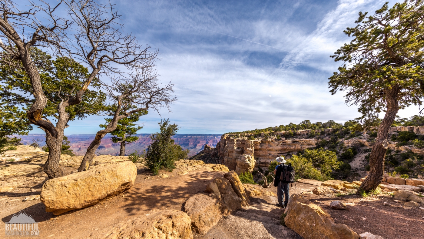
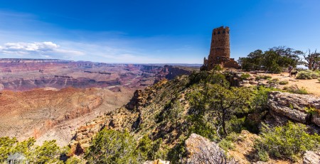
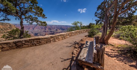
The South Kaibab Trailhead can be found near the Yaki Point. To get there you will need to use one of the buses or shuttle buses, because the Yaki Point road which leads to the South Kaibab Trailhead is closed for the vehicles most of the time (it’s open only during the winter months, when the flow of tourists becomes much smaller). At the trailhead there are some information stands providing general information on the trail and explaining safety rules to make your hike more pleasant and less dangerous. Thus, don’t miss it and read the information they are displaying.
The elevation of the trailhead is 7260 ft, and the length of the trail starting from the trailhead and down to the Bright Angel Campground is about 7 miles. The administration of National Park Service doesn’t recommend the roundtrip from the rim to Colorado River and back as a one-day hike, especially during the hot months, but there are always hikers who take a dare. But South Kaibab Trail can be a great several-days hike with overnight at the Bright Angel Campground, which also offers interesting day-hikes around the area.
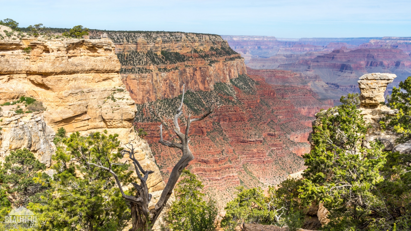
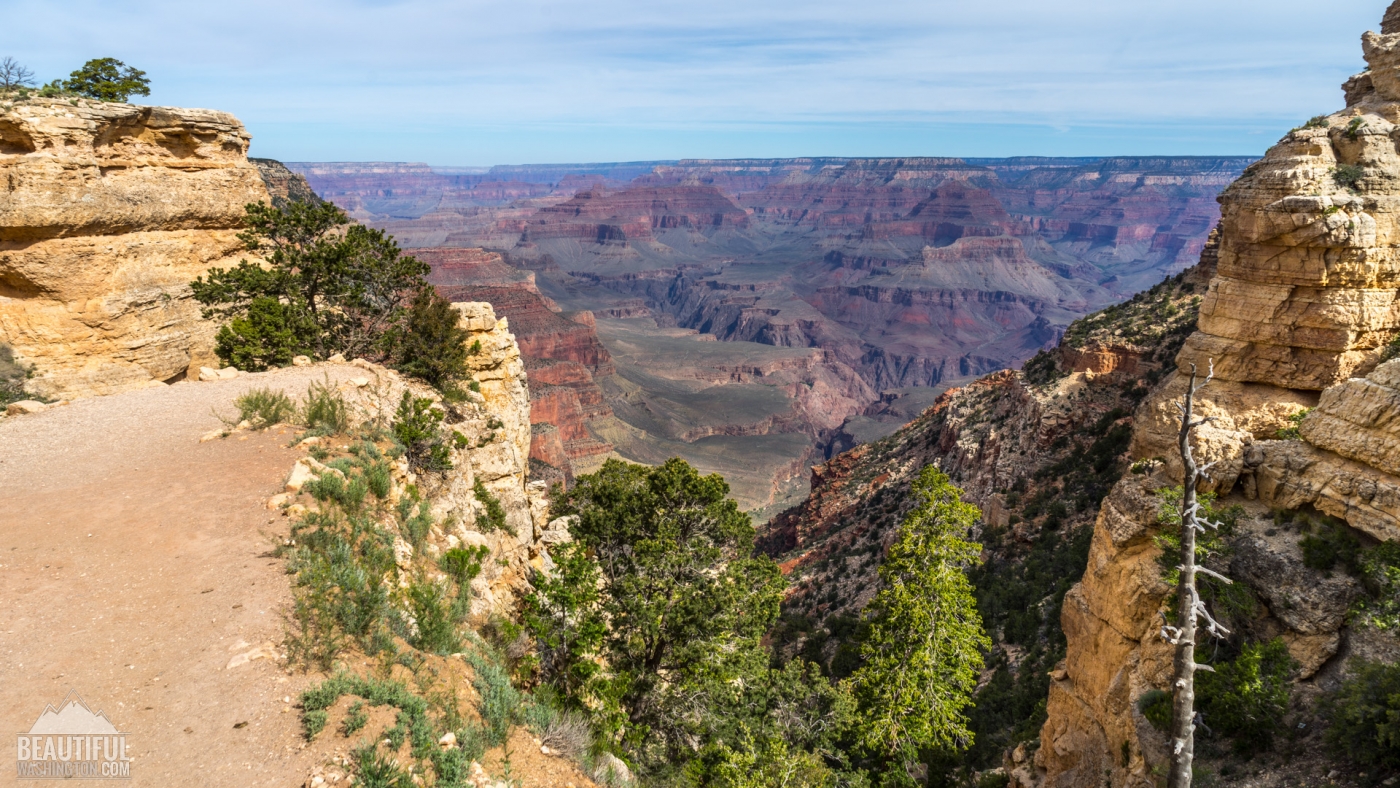
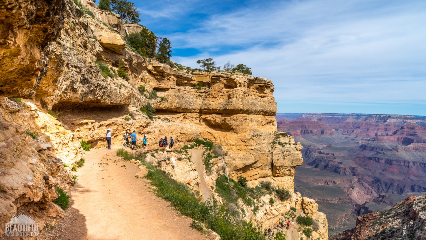
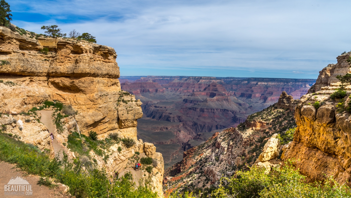
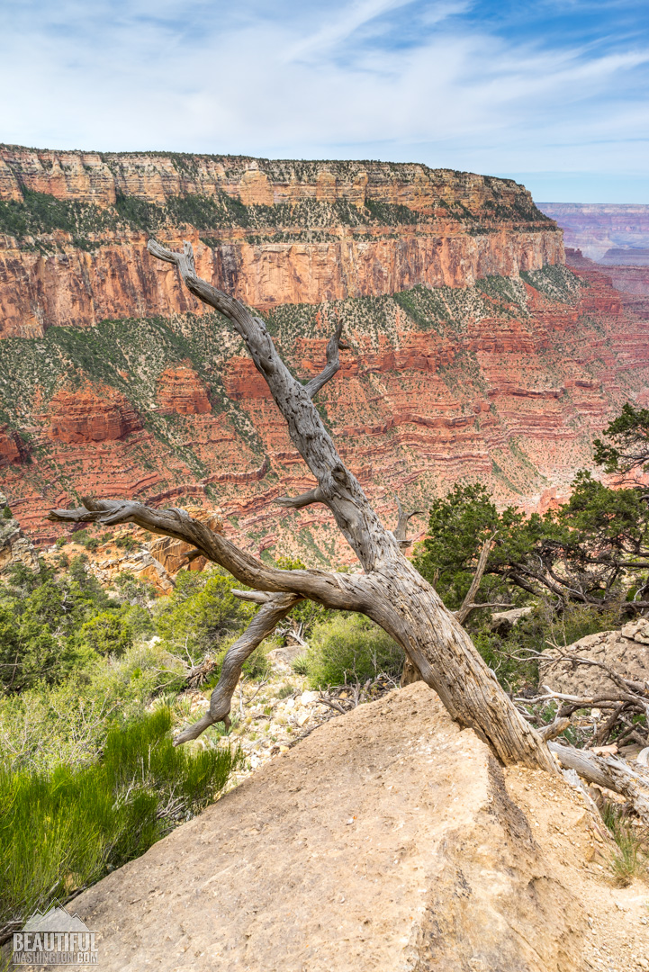
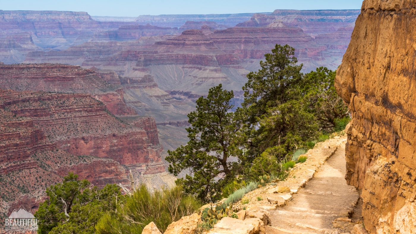
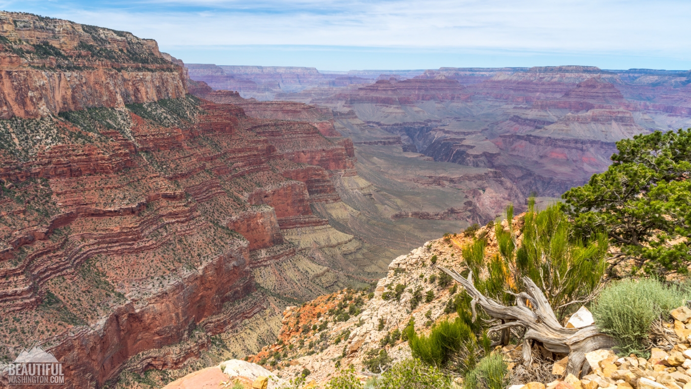
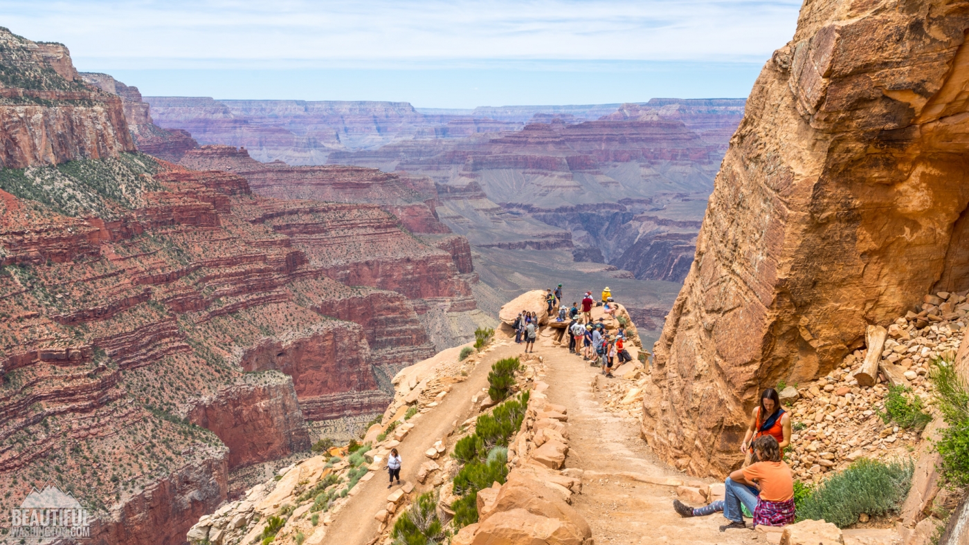
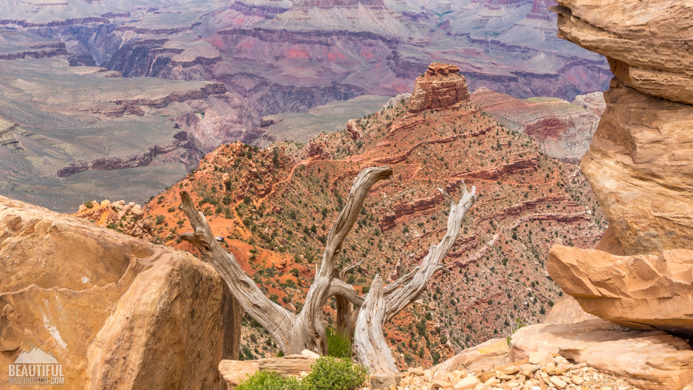
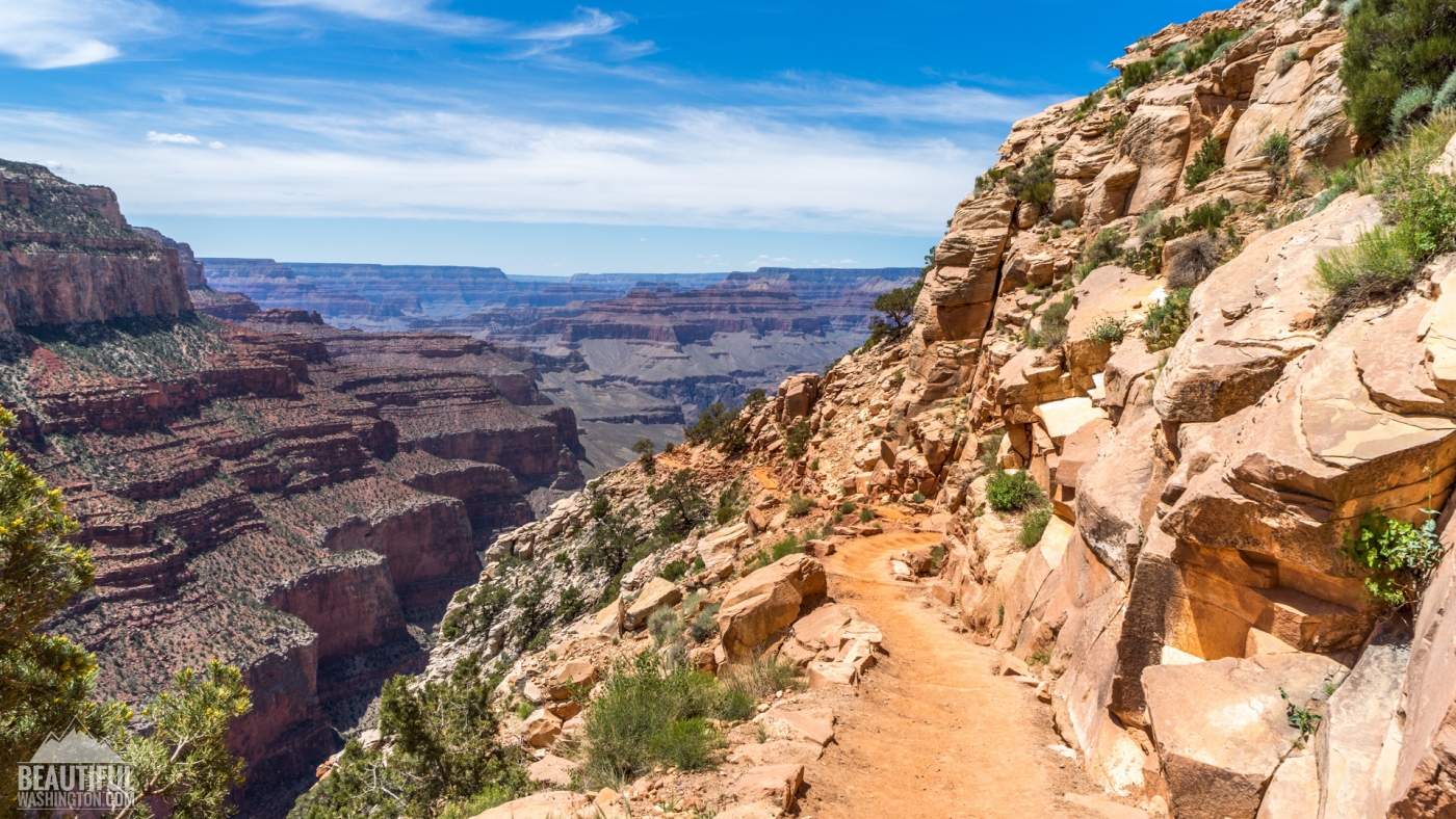
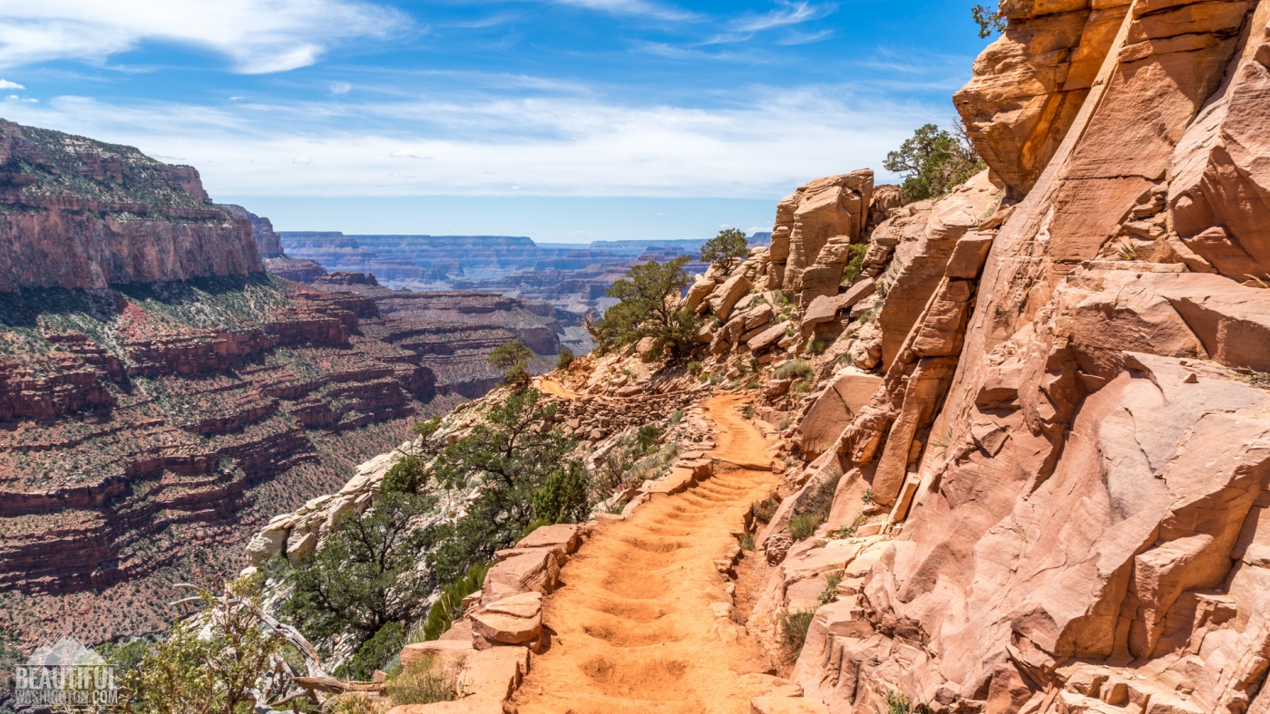
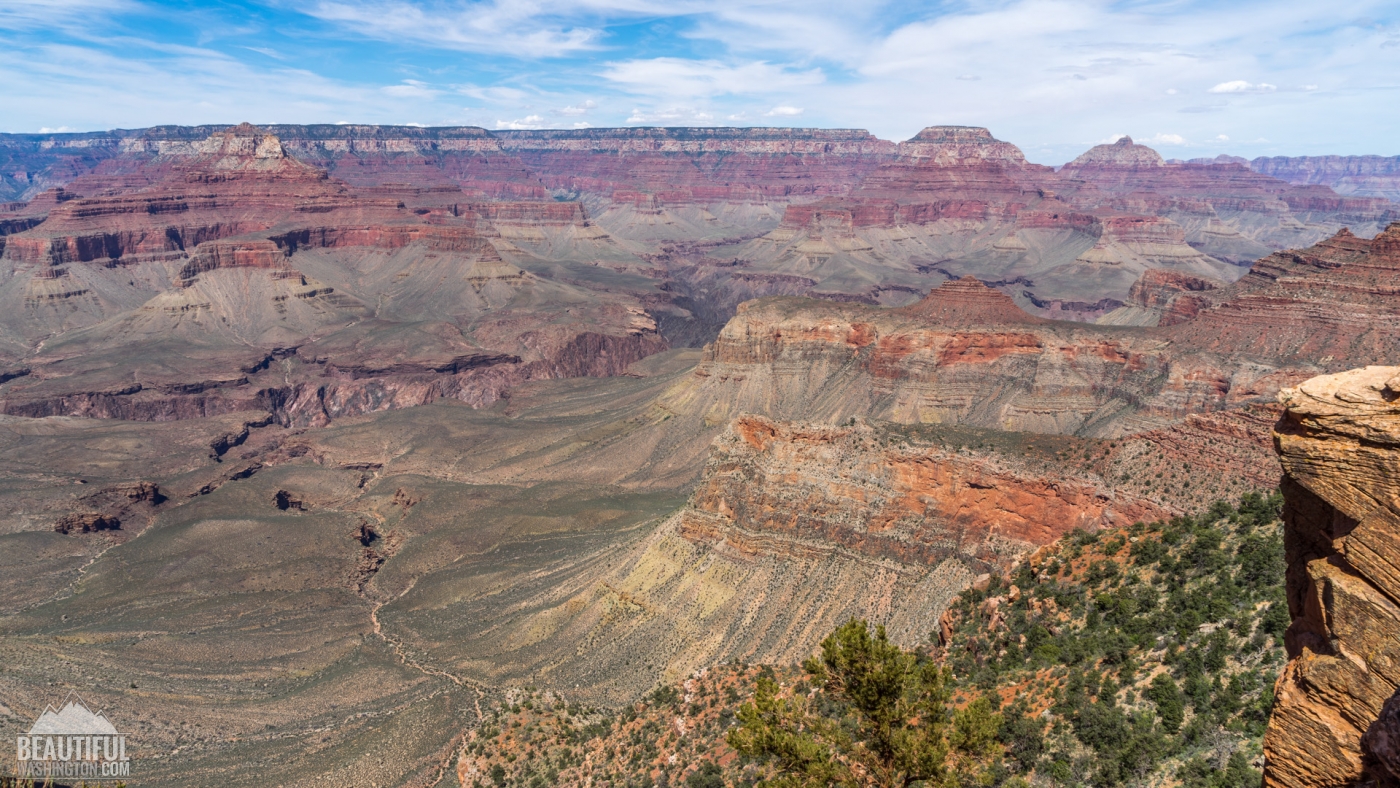
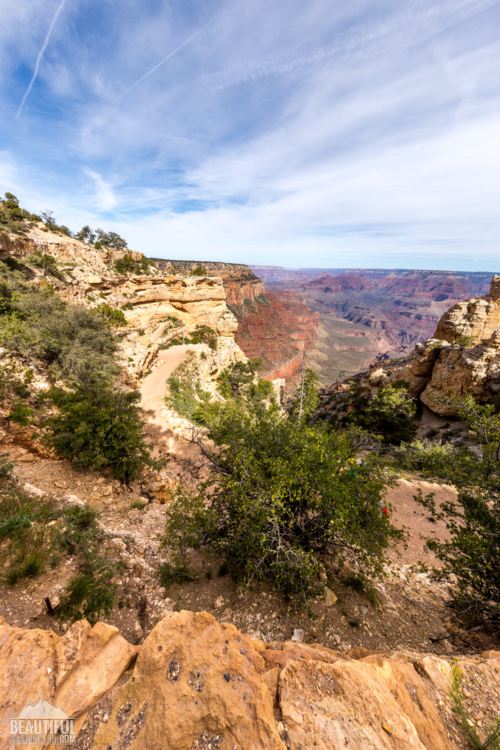
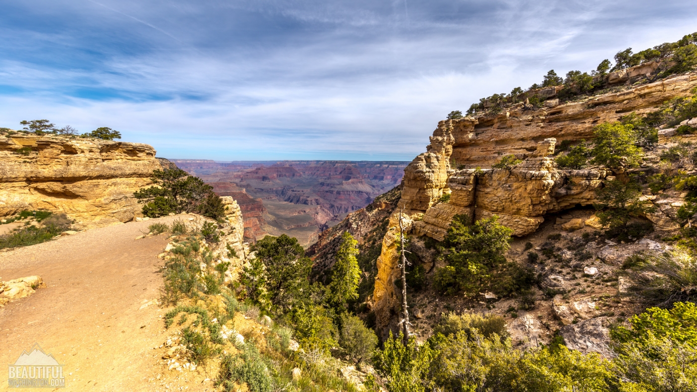
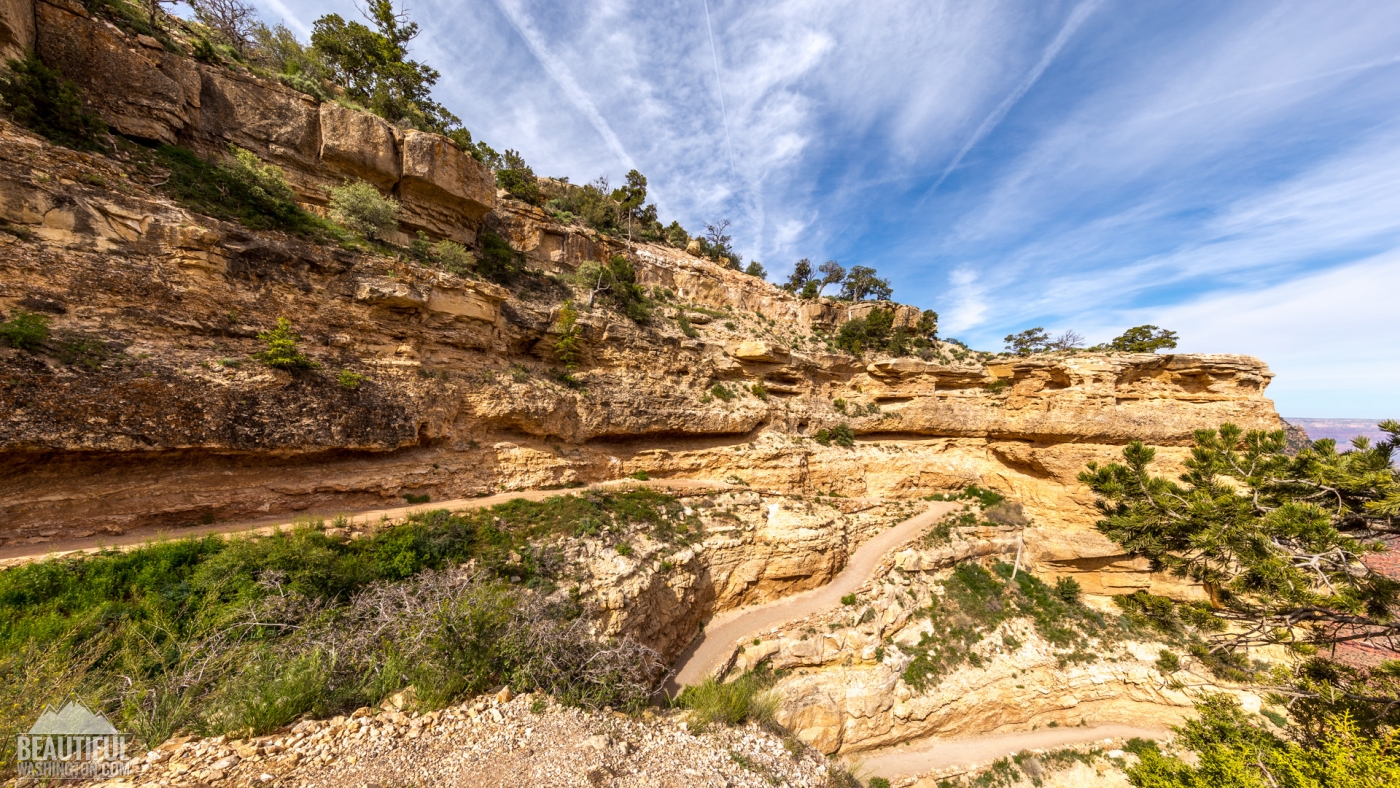
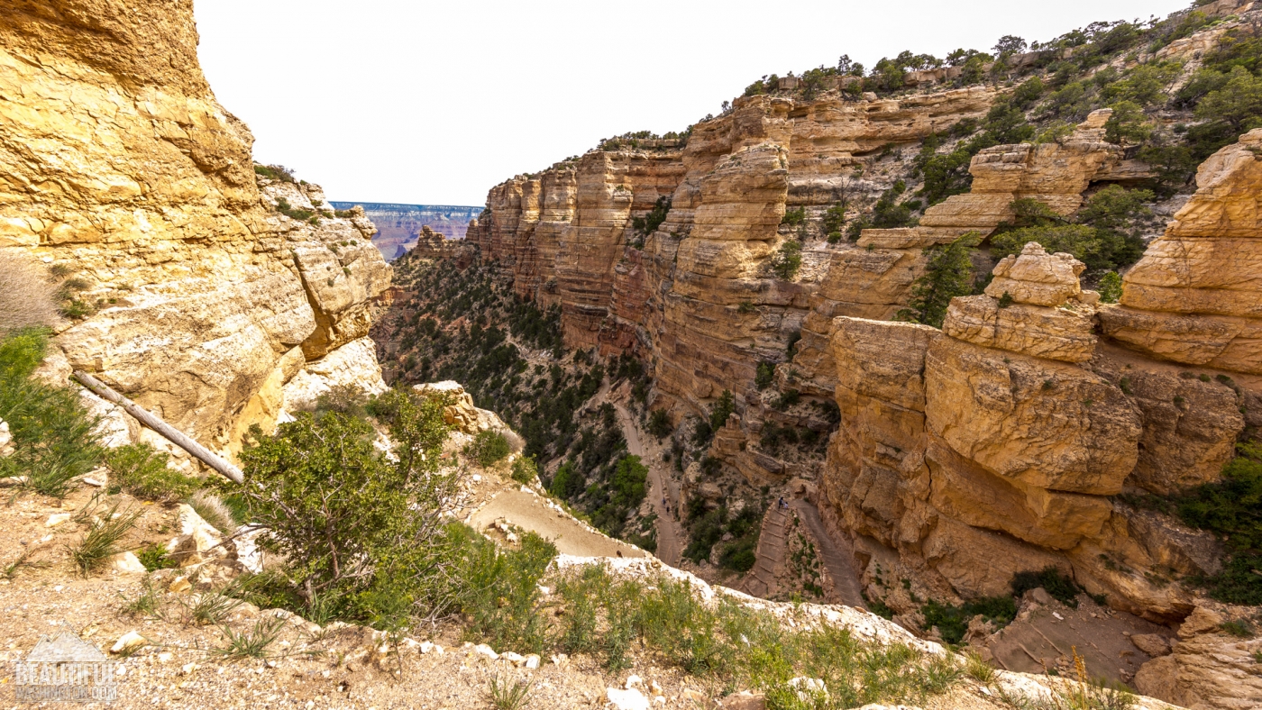
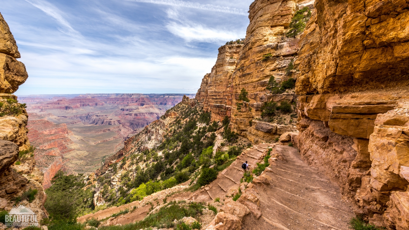
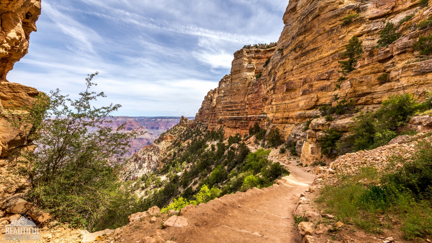
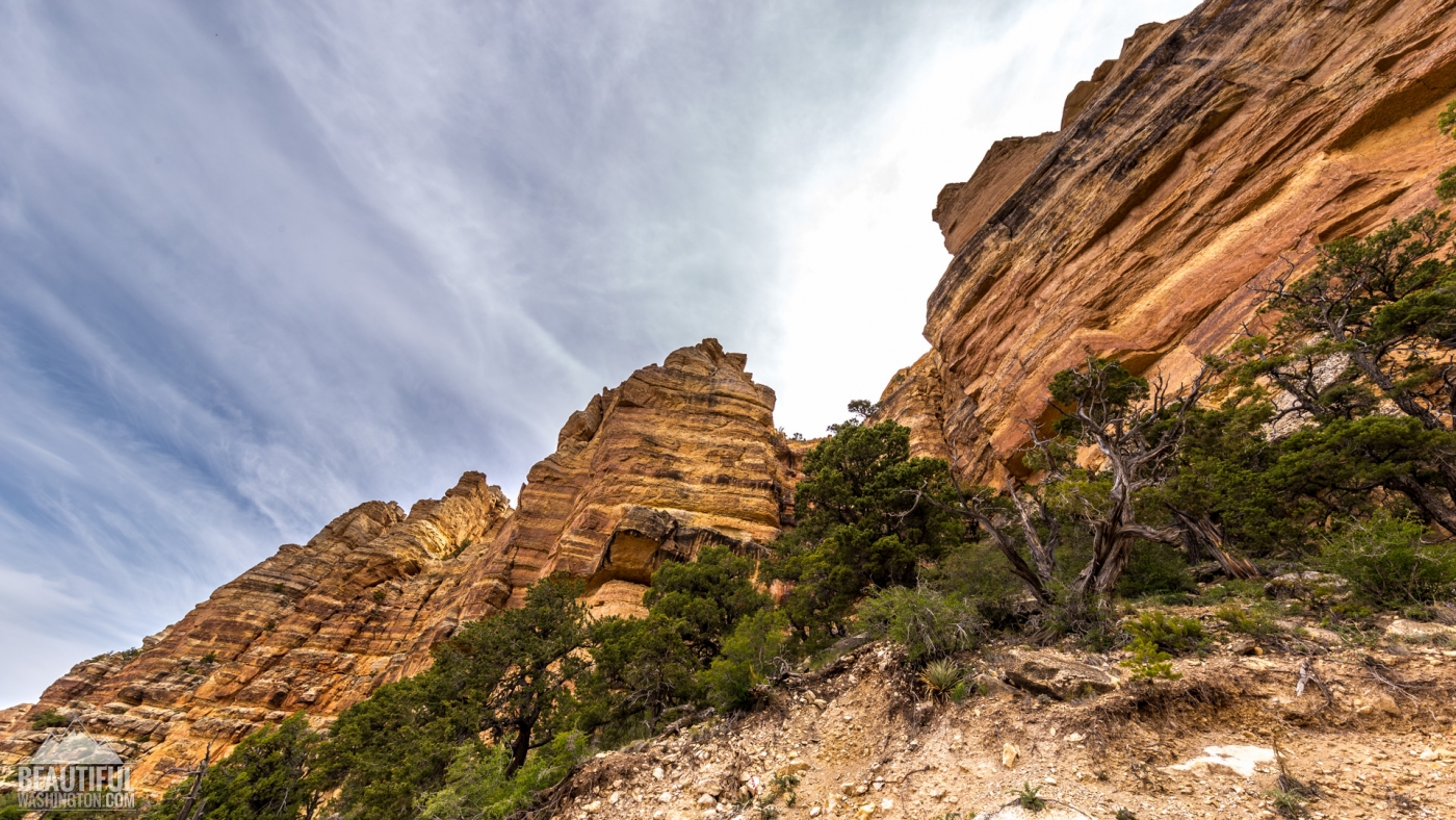
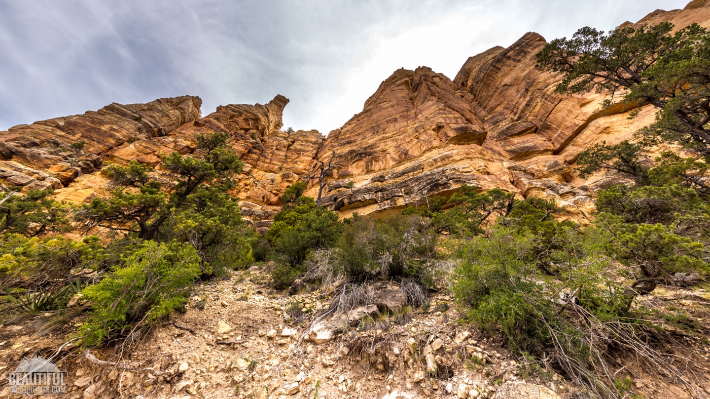
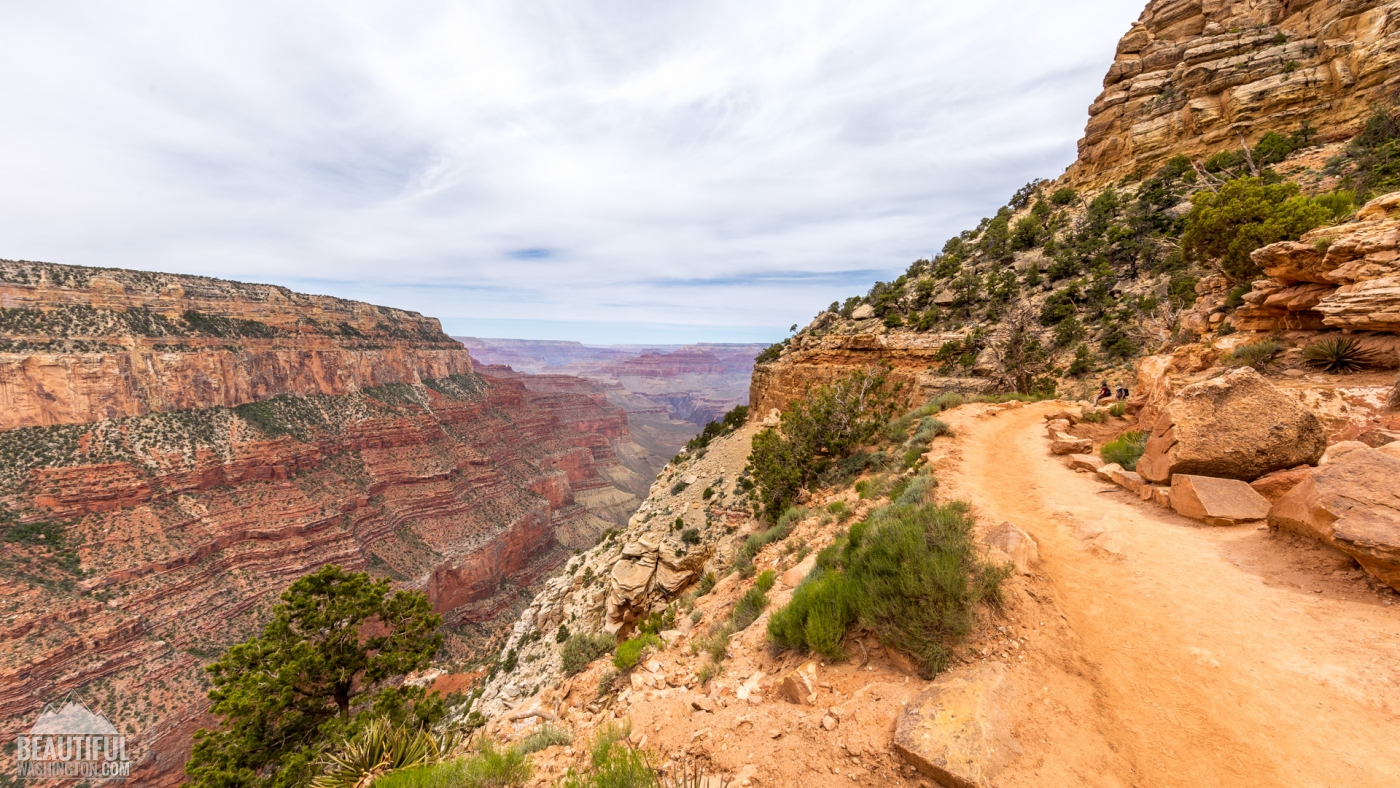
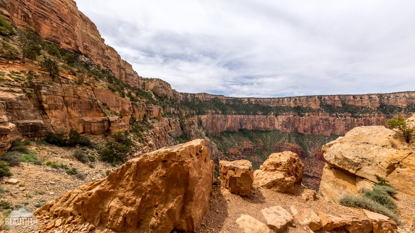
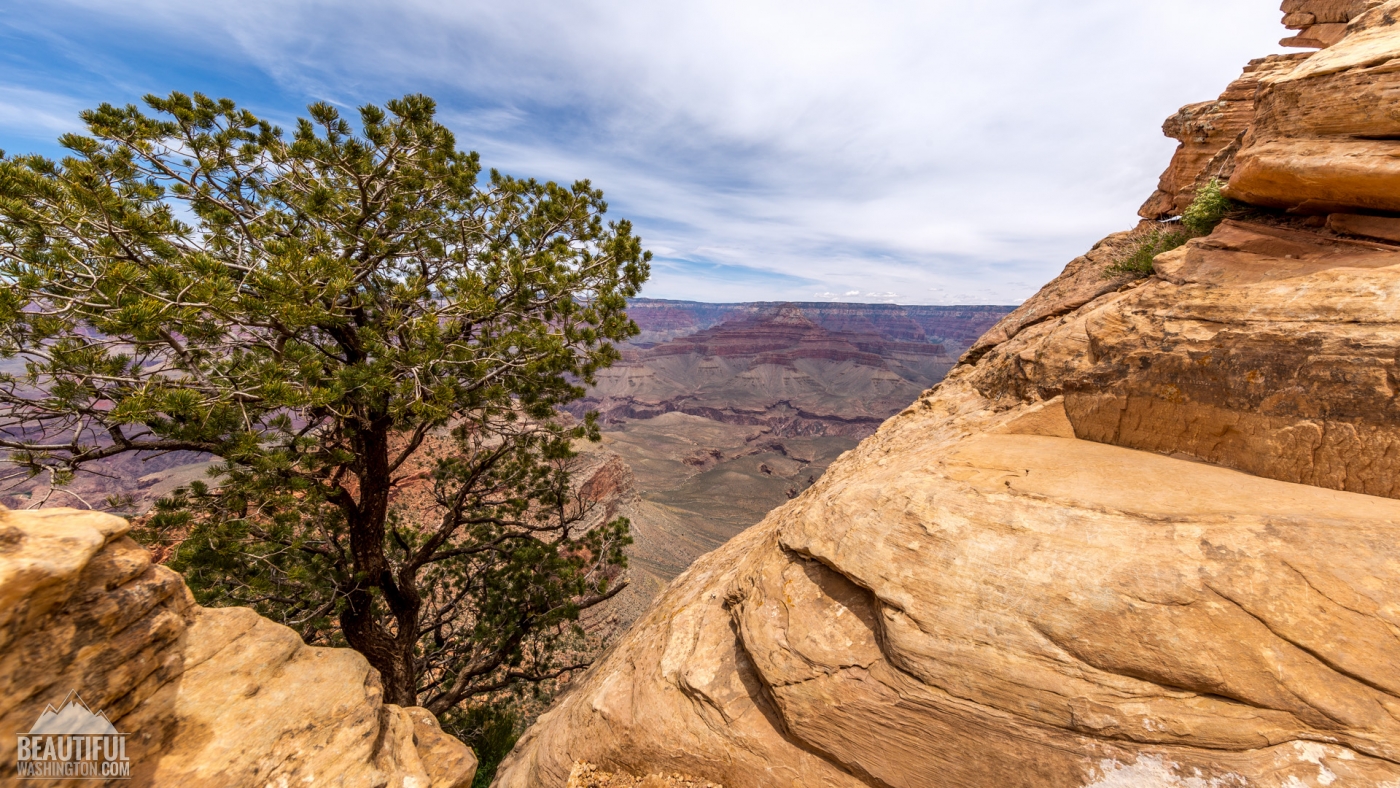
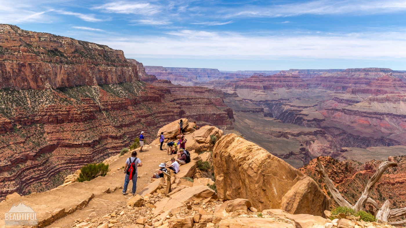
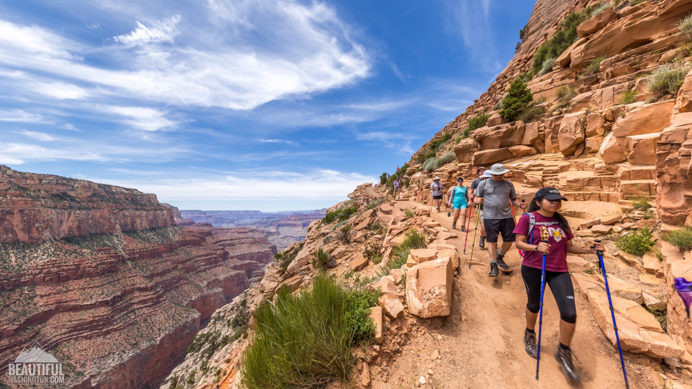
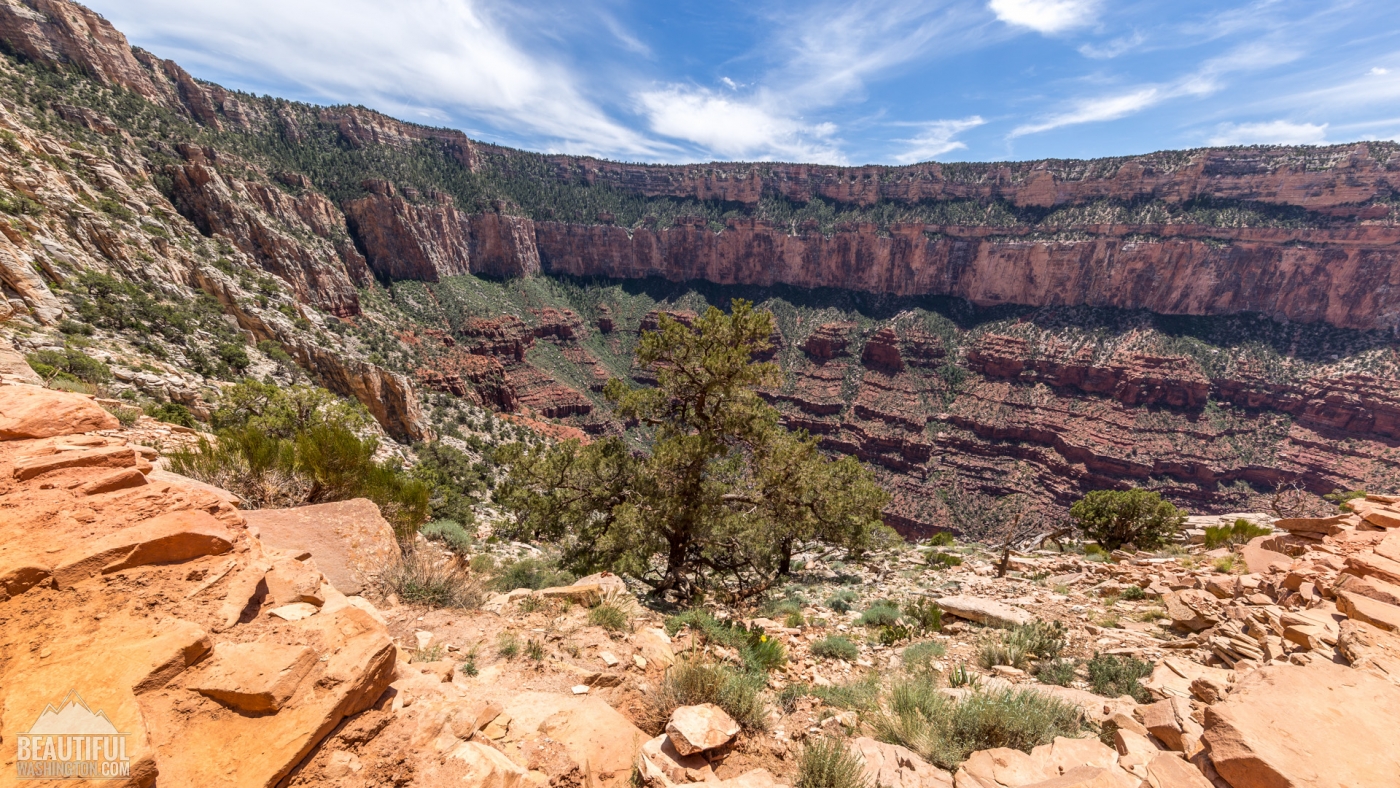
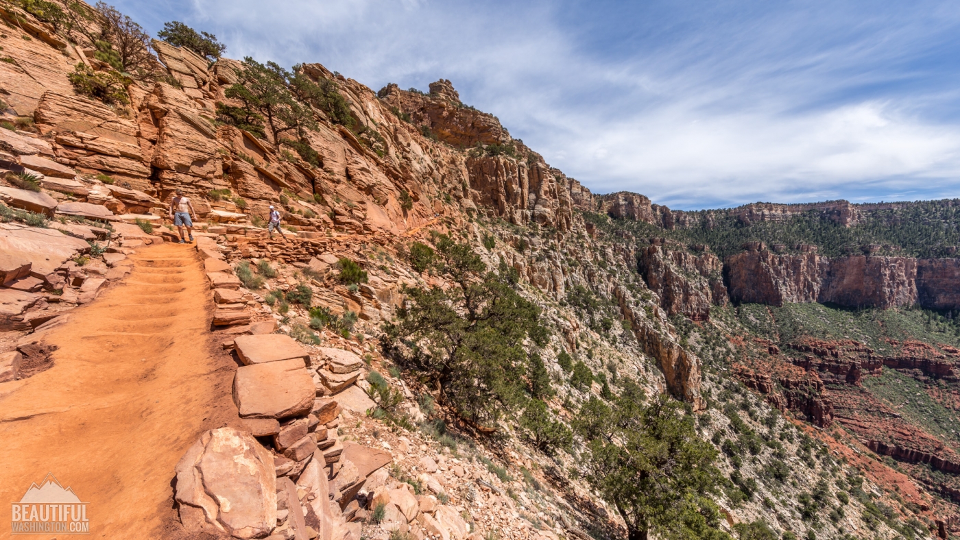
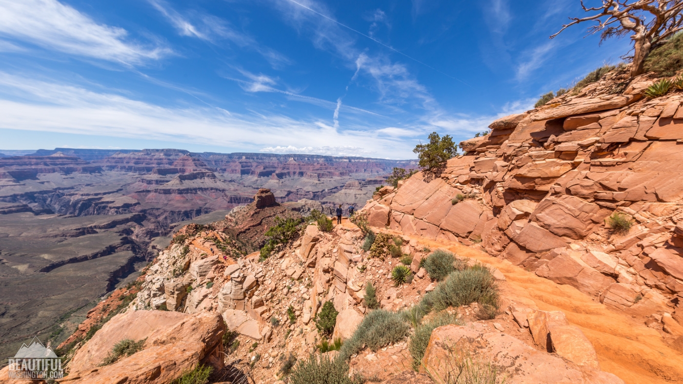
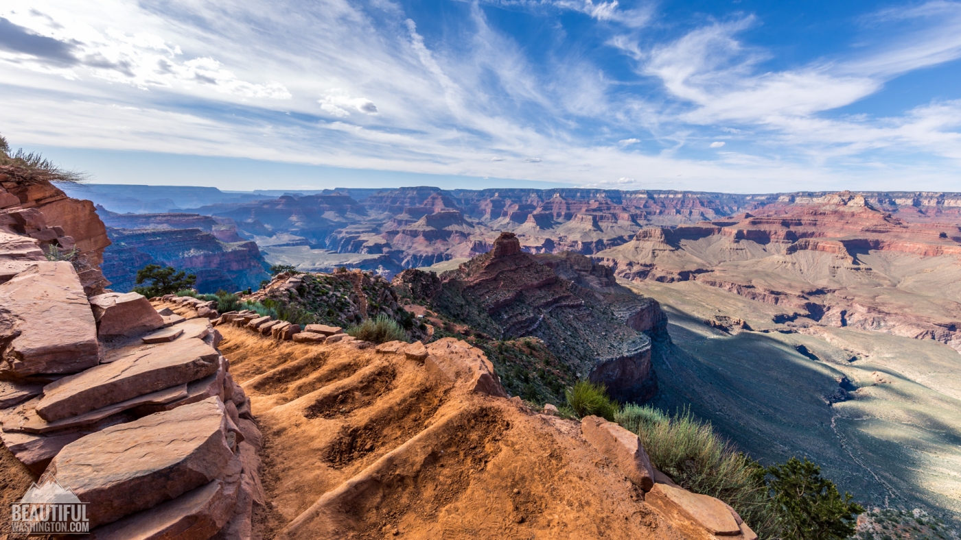
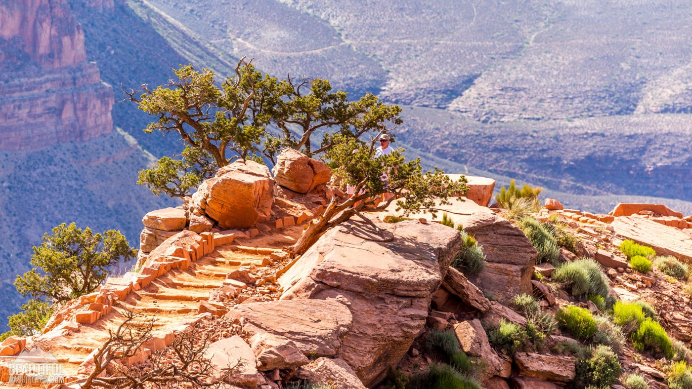
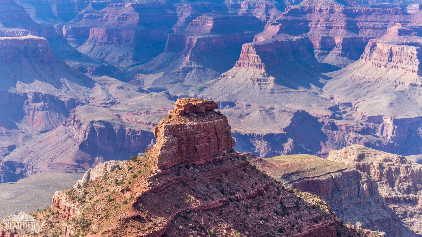
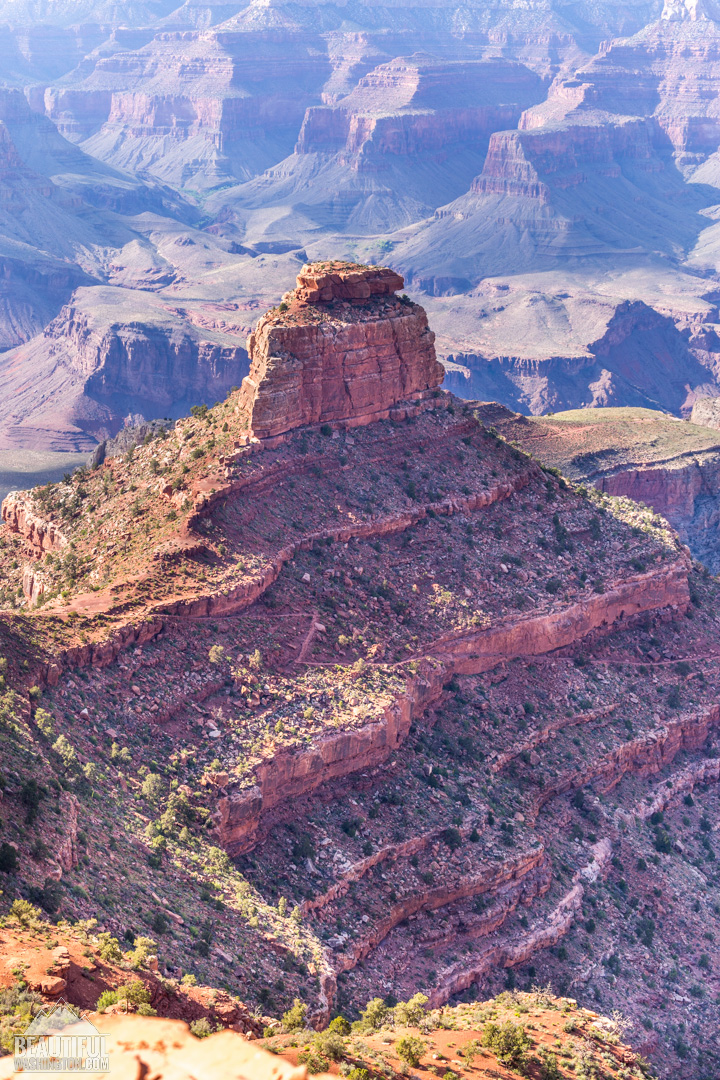
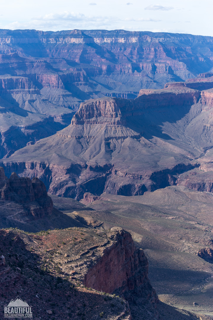
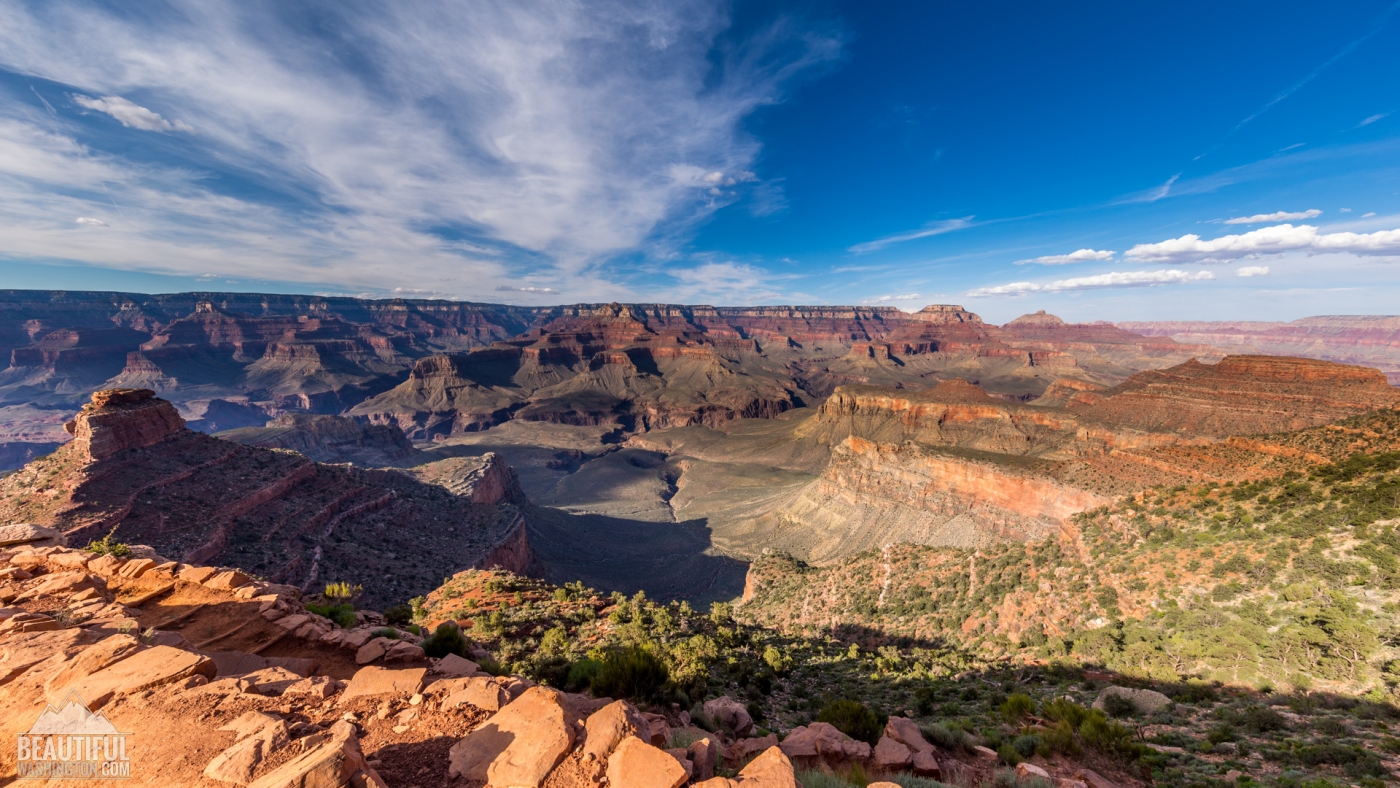
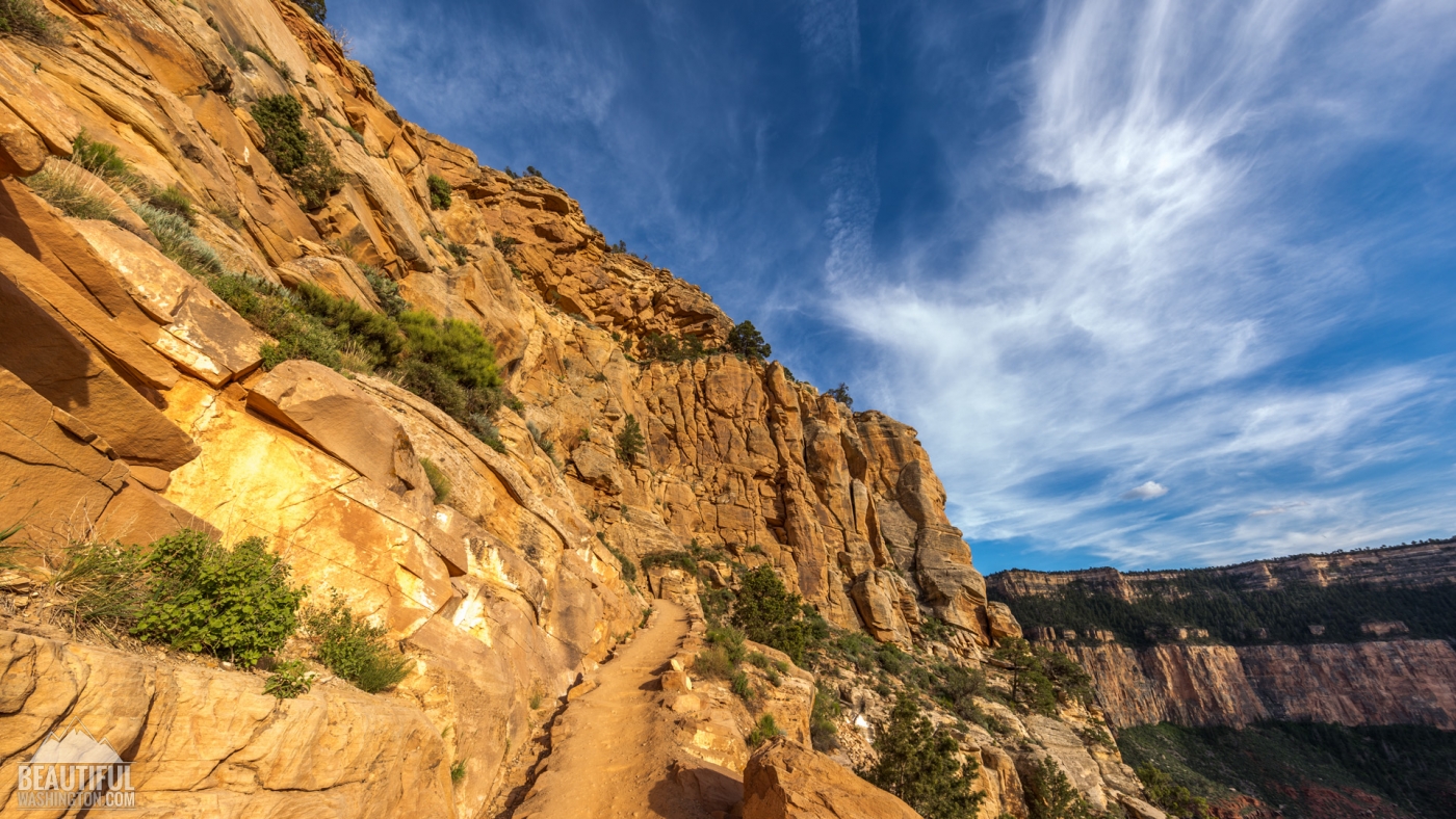
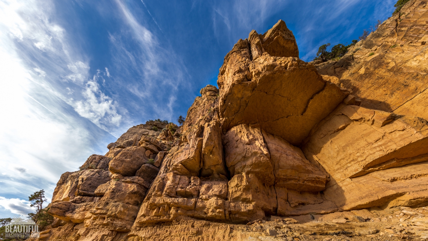
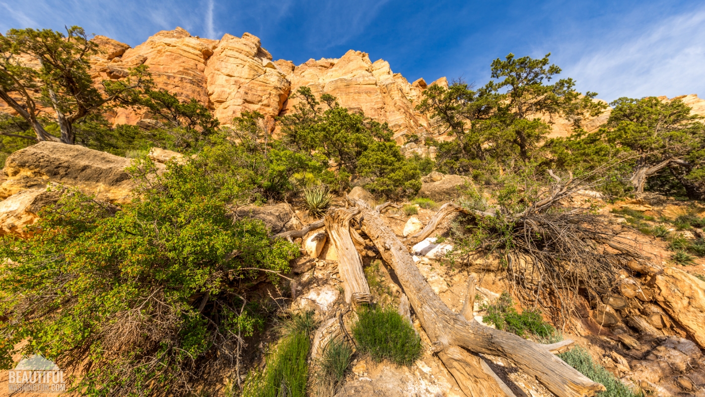
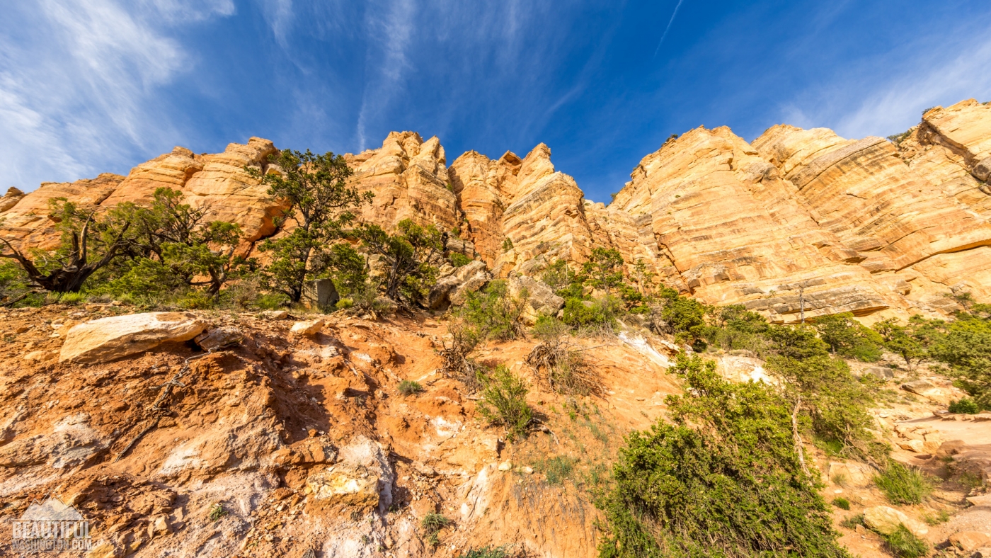
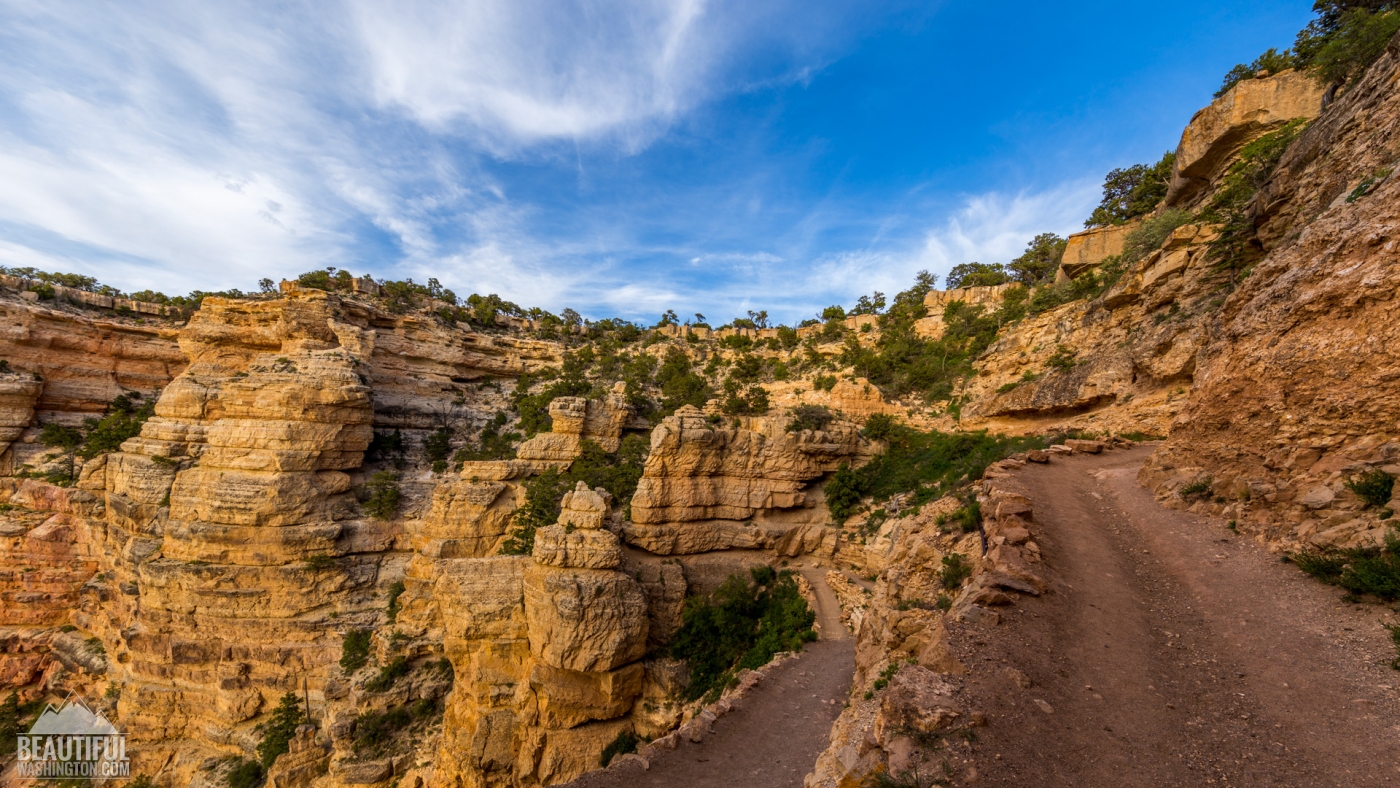
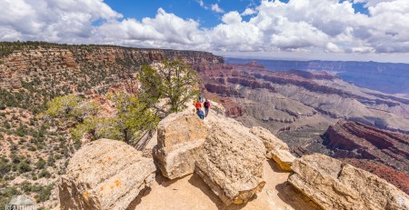
From the trailhead the South Kaibab Trail descends steeply through the upper layers of the Grand Canyon rocks. Within the first part of the trail you will have to follow numerous switchbacks made in almost vertical walls of limestone. The trail is quite narrow and can be rather challenging for those who fear heights, especially when you have to share the trail with the mules. It’s probably one of the hardest parts of the trail. But when you reach the Ooh-Aah Point, you forget about all the difficulties of the hike, as the view which it opens just blows you away. The panoramic view of the Grand Canyon lying at your feet is just impressive. From here you can also see O’Neil Butte, which is called by tourist one of the symbols of the South Kaibab Trail.
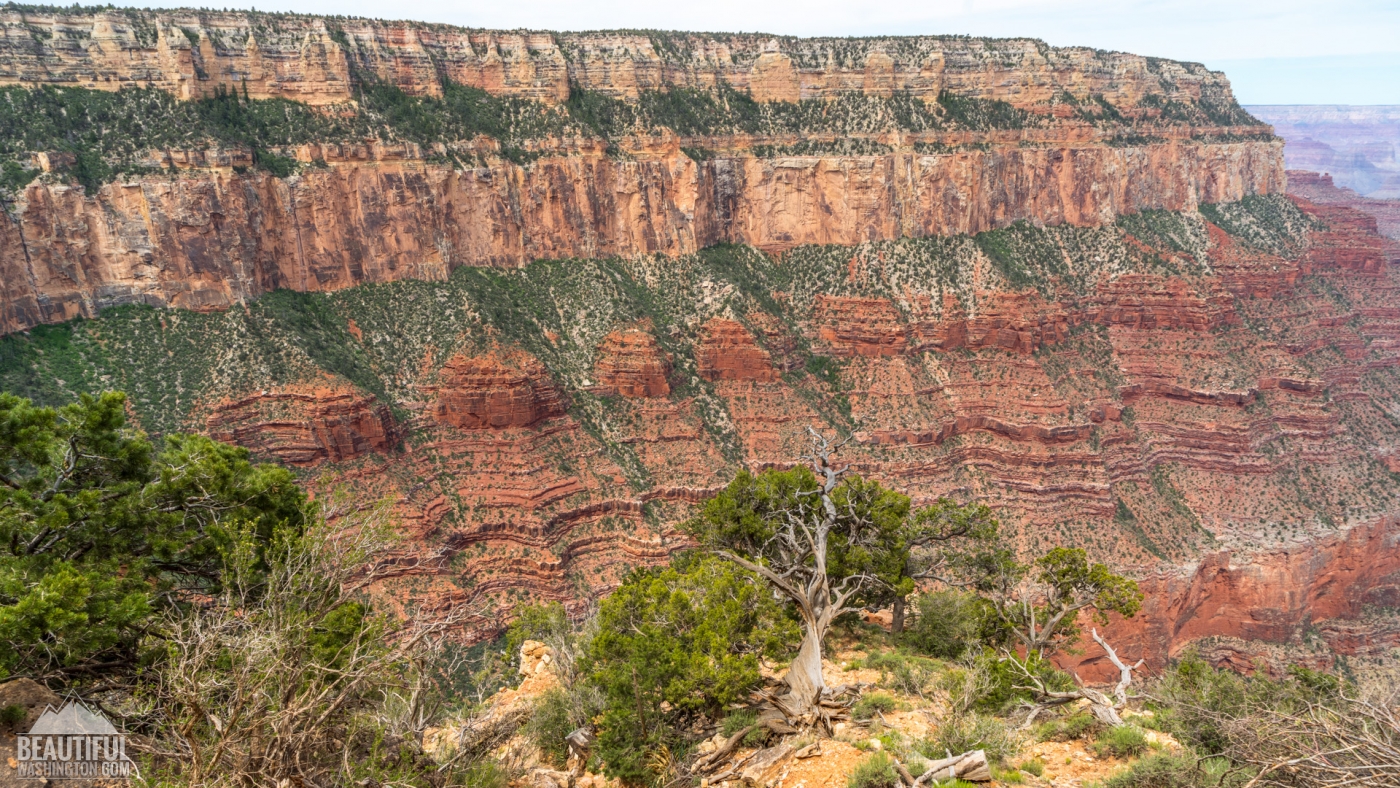
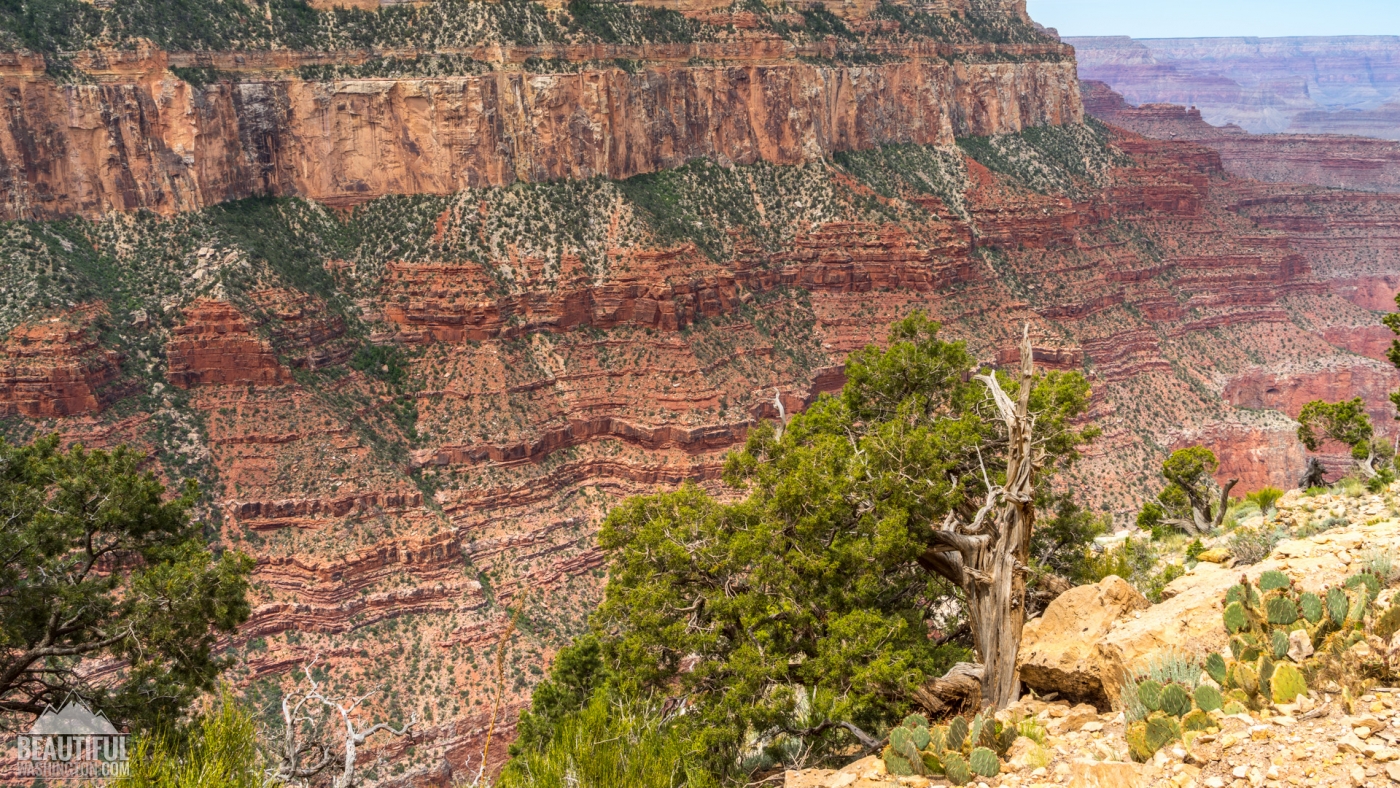
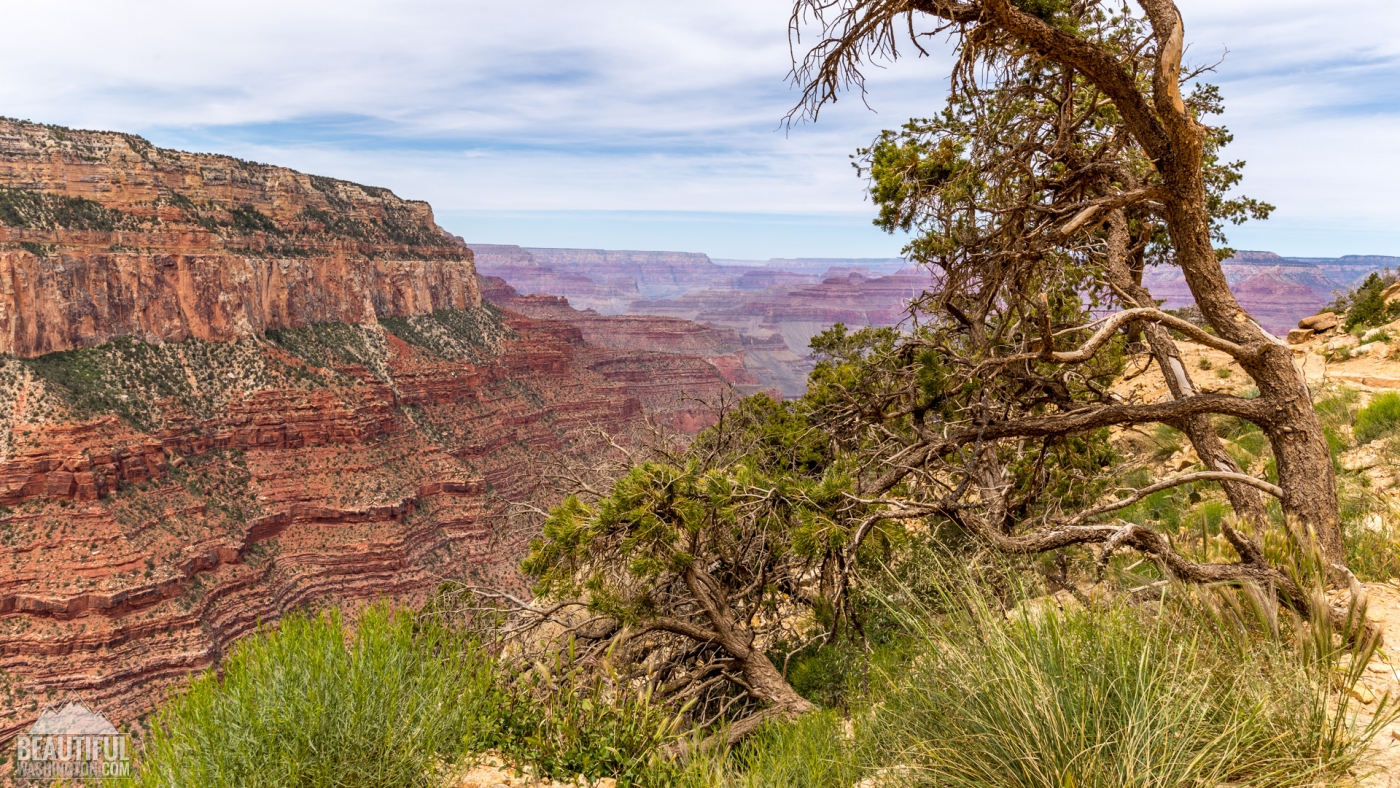
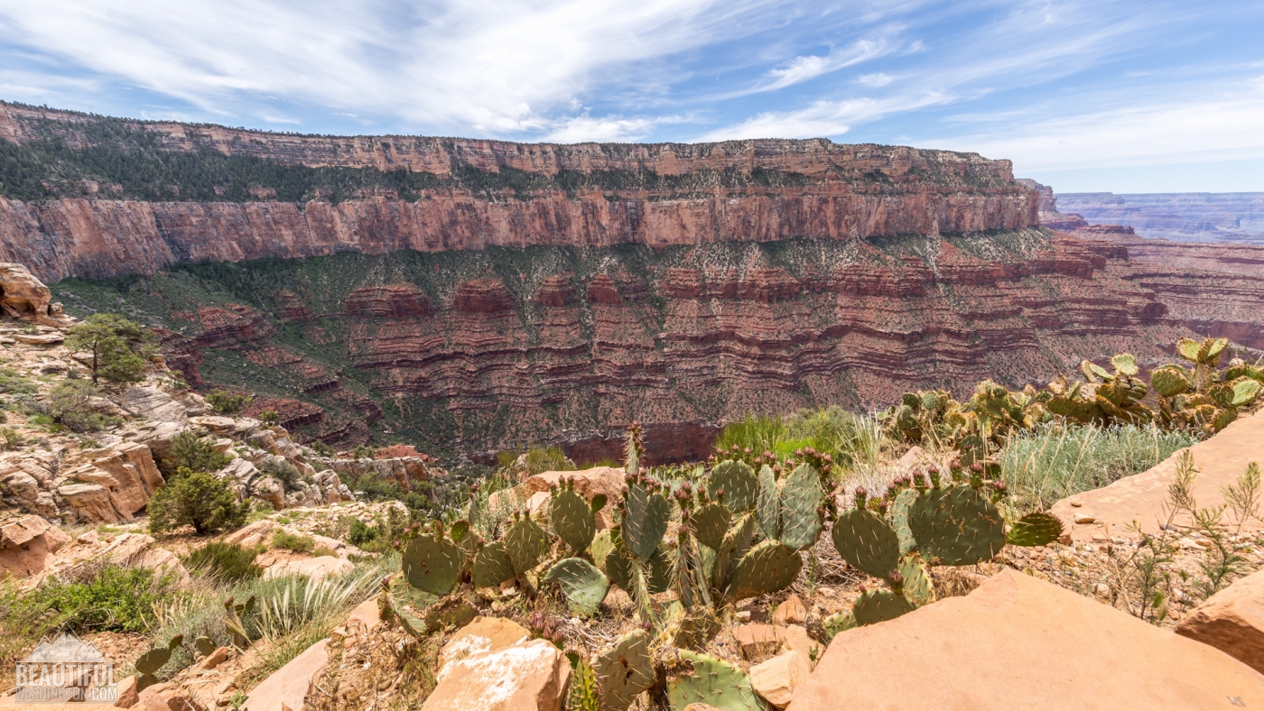
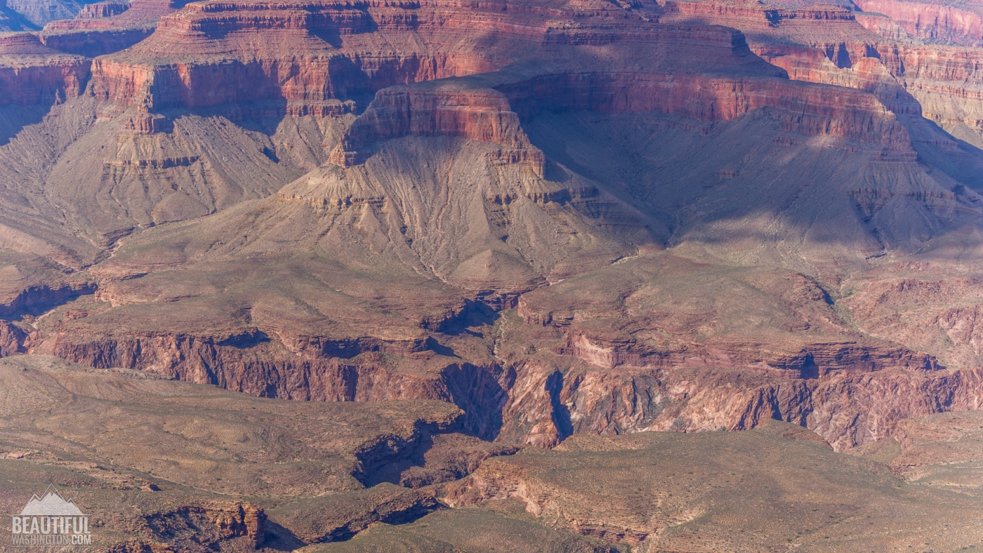
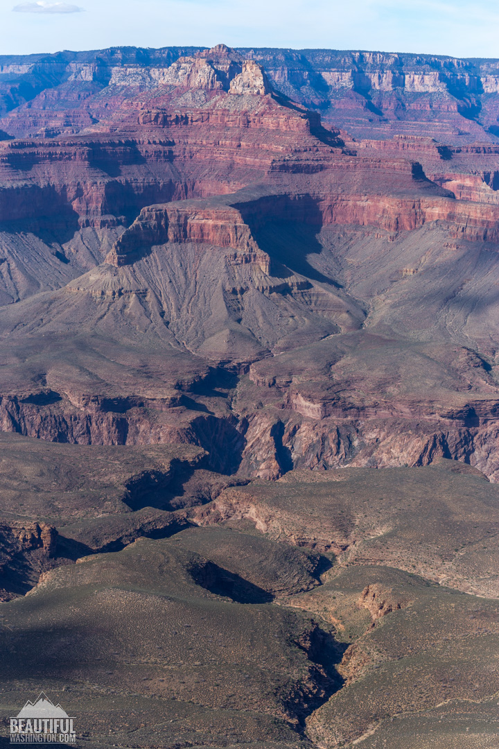
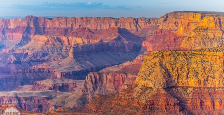
After the Ooh-Aah Point the South Kaibab Trail runs on the top of the ridgeline, following it you have a great chance to enjoy the splendid vistas of the Grand Canyon, admire its gorgeous rock formations. Reaching the Cedar Ridge (which is located at elevation of 6120 ft, and is 1,5 miles away from the trailhead) you will have a chance to have a rest. There is no water at Cedar Ridge, but you’ll find pit toilets available here.
Passing the Cedar Ridge the South Kaibab Trail runs below the O’Neil Butte to the very Skeleton Point. You will not see any switchbacks at this part of the trail, and the trail is quite easy here as it gets more or less flat. But this is not for long.
The Skeleton Point is located at the elevation of 5220 ft and is about 3 miles from the trailhead. This is the last point, which is recommended by the National Park Service as a day-hike.
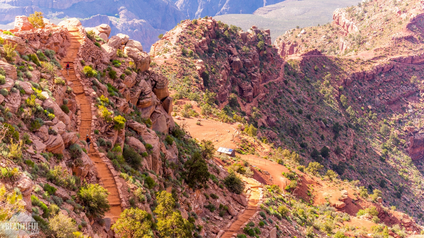
After the Skeleton Point the trail again becomes steep, much more difficult to hike, with numerous switchbacks. But at this part of the trail you’ll have a chance to take a glance at Colorado River. At the end of this series of switchbacks you’ll reach the Tonto Platform, and at the end of it – Tipoff point. You’ll find here pit toilets and an emergency telephone, but again there is no water here.
The last part of the trail, descending from the Tipoff to the bottom of the canyon, is the steepest section of South Kaibab Trail. It will take you to the Black Suspension Bridge over the Colorado River. Crossing it and walking about half a mile more you’ll find a junction with the North Kaibab Trail. You’ll also find a Bright Angel Campground there, where you can overnight after getting (beforehand) permission from the Grand Canyon National Park Backcountry Information Center.
Photo: Roman Khomlyak
Photo Editing: Juliana Voitsikhovska
Information: Svetlana Baranova

























































































Leave a Reply
You must be logged in to post a comment.