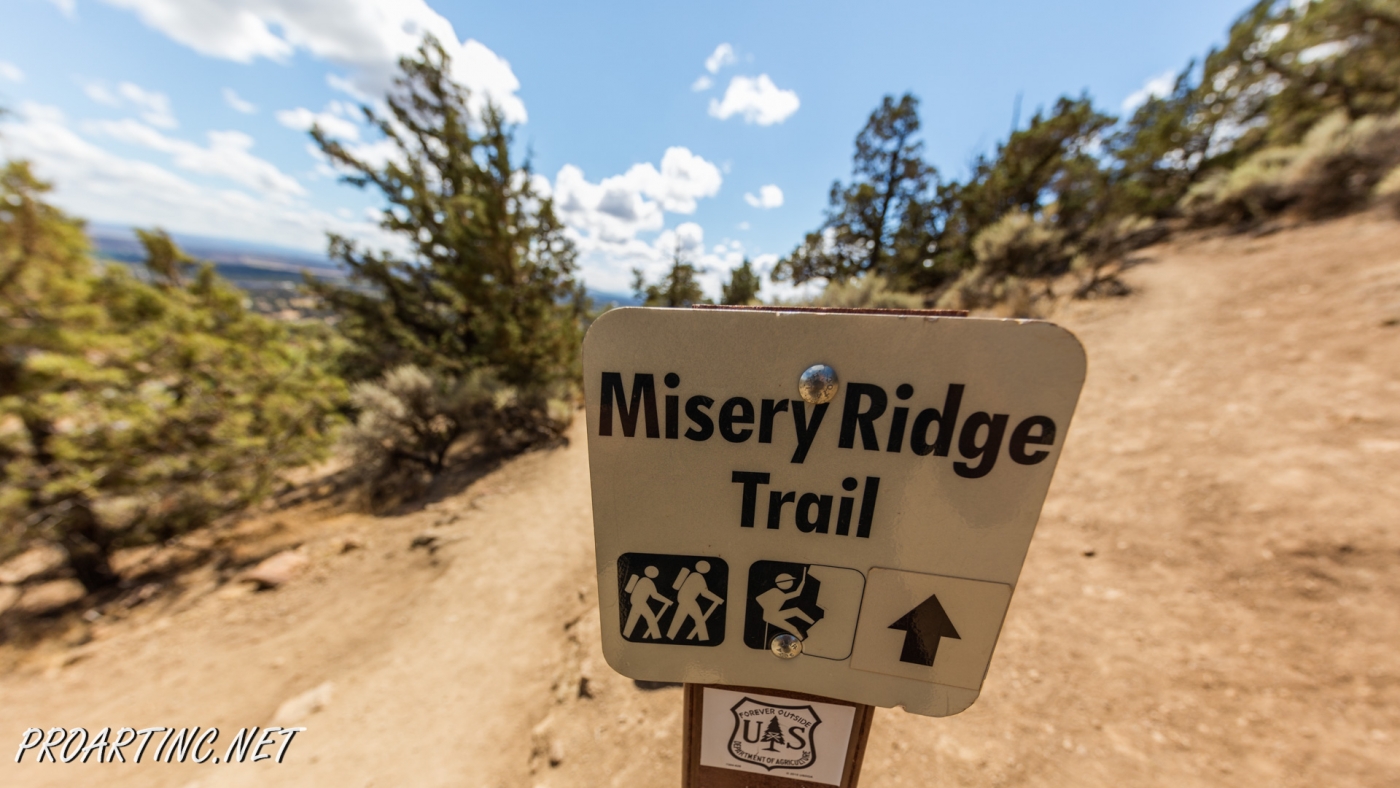
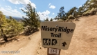
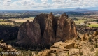
Misery Ridge Trail at Smith Rock State Park


Address: Terrebonne, OR 97760, United States
Phone number: 541-548-7501
Length: 0.68 miles
GPS Coordinates: N 44 21.952 W 121 08.233
Information Center: Crooked River National Grassland, 274 SW 4th Street, Madras, OR
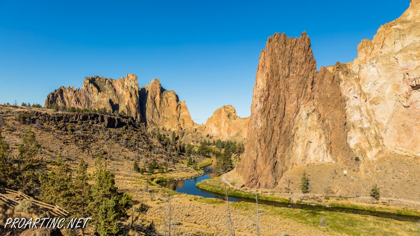
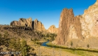
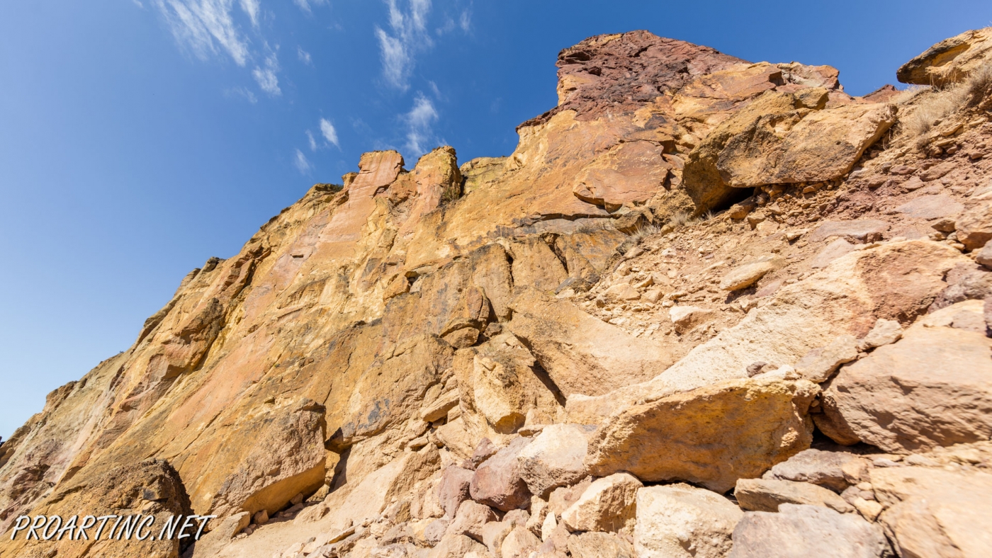
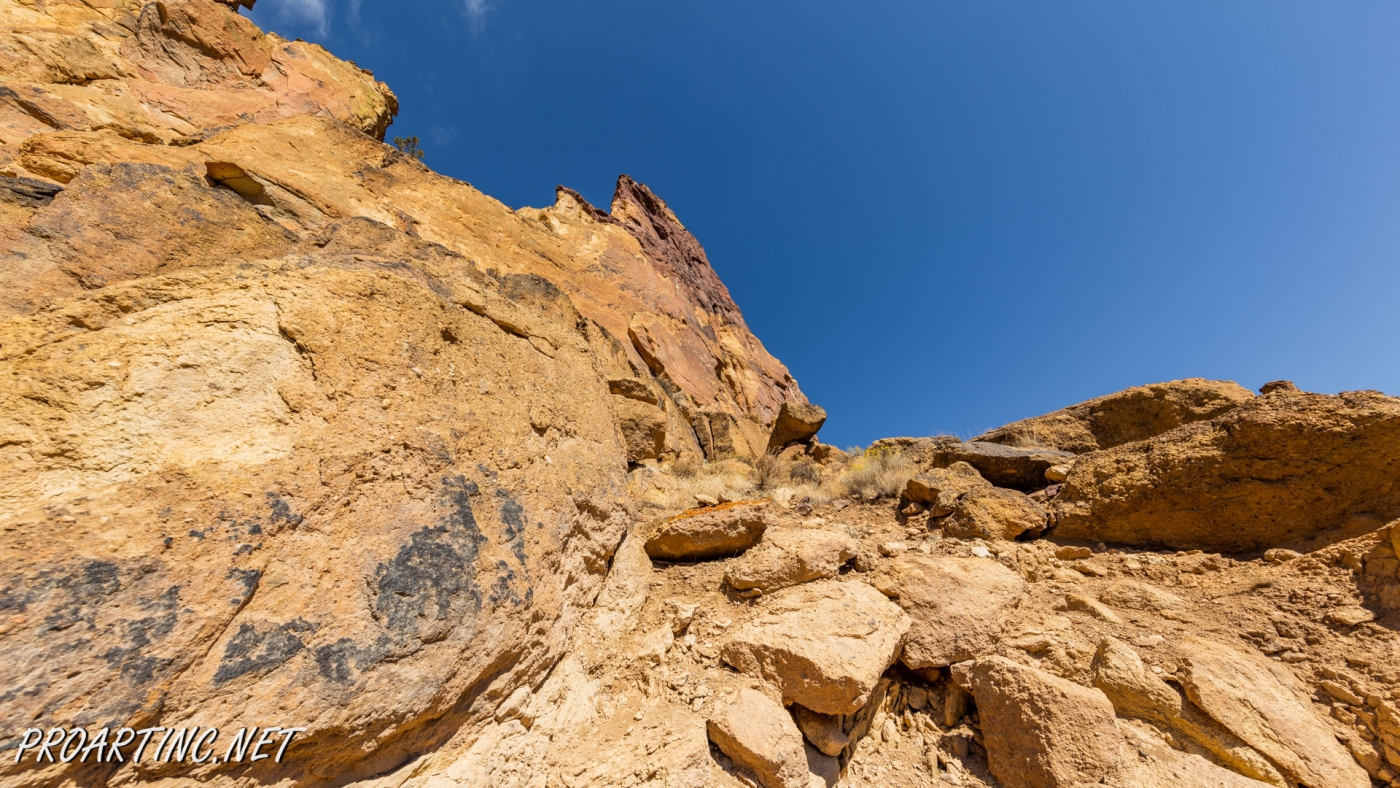
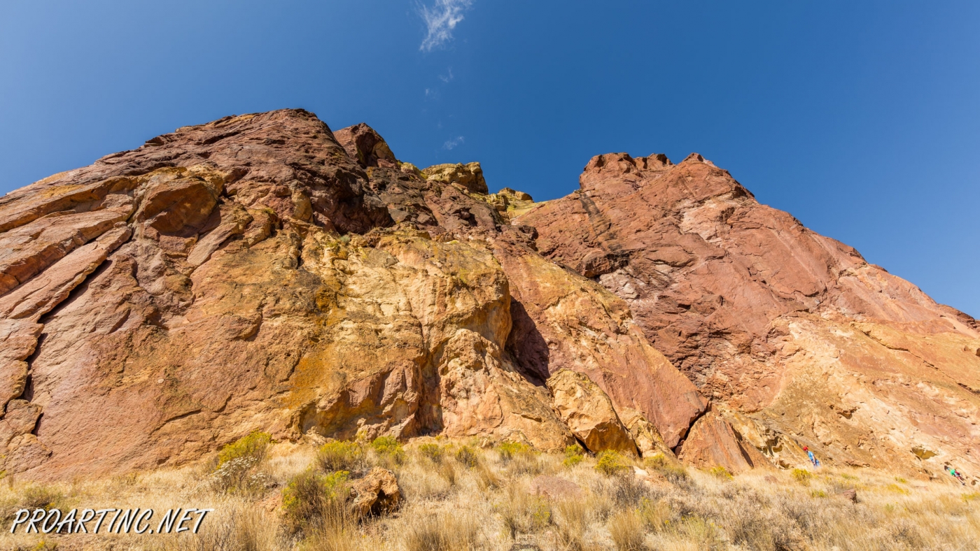
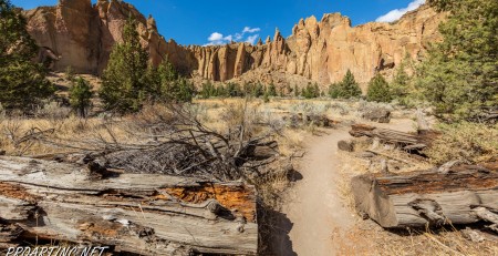
Misery Ridge Trail is probably the most popular and well-known trail of the Rock Smith State Park, but for inexperienced hikers it may also seem one of the most strenuous trails of this state park. Its steep ascend at the beginning caused lots of troubles to early pioneers, trying to cross over the mountain passes in their wagon trains. Since that time the ridge and the trail gained its name.
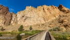
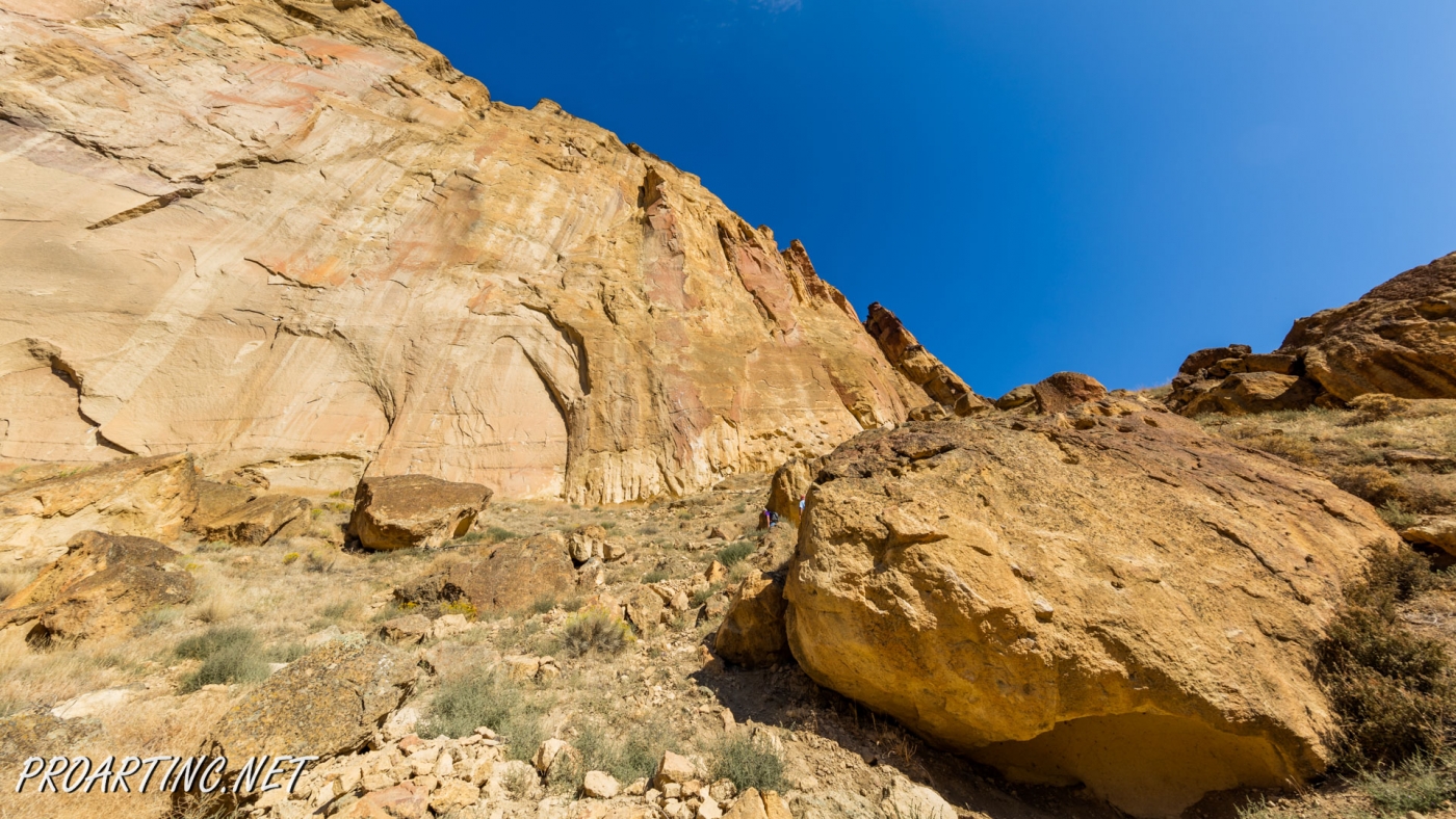
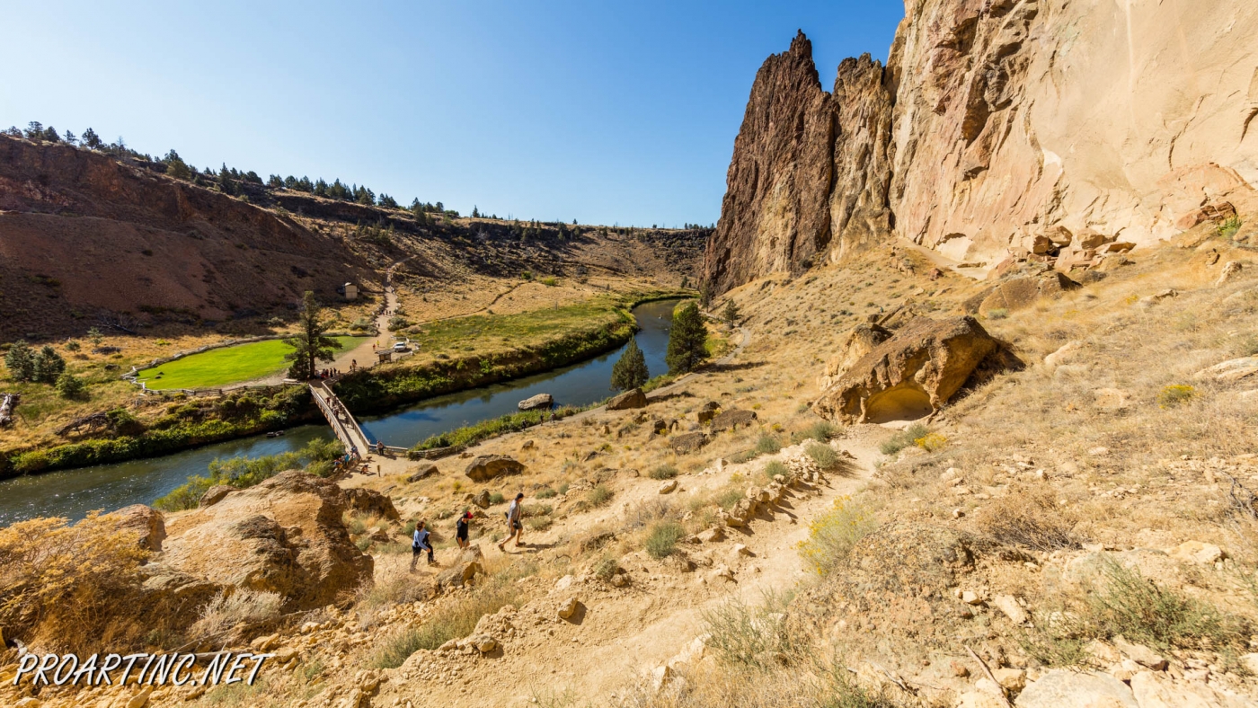
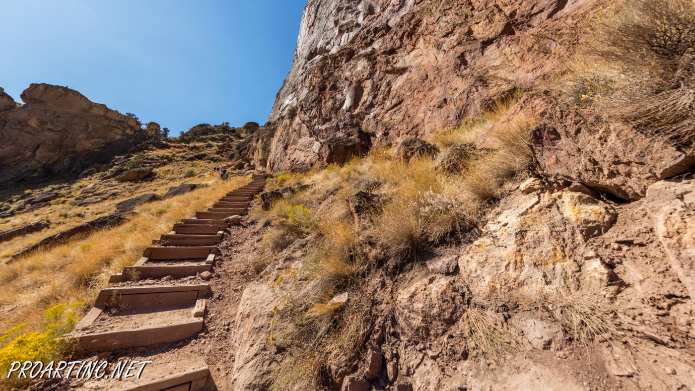
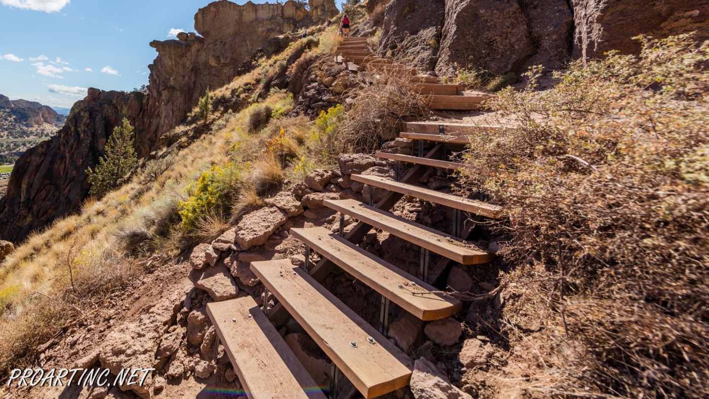
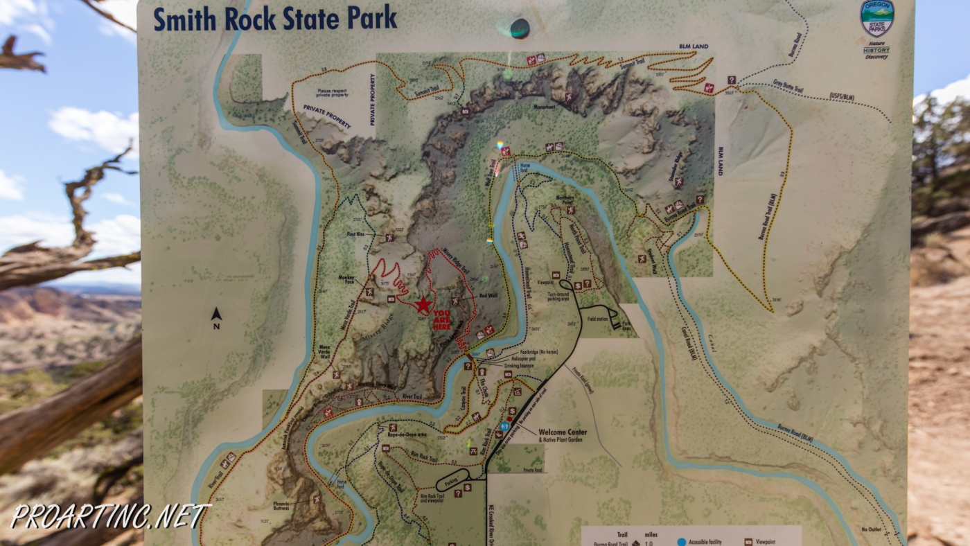
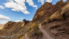
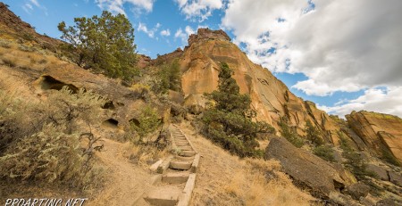
The trail starts directly after crossing the Crooked River Bridge, near the bridge end you will see a sign, marking the trailhead. Be prepared for a real challenge, as ahead is the elevation of 600 feet which you’ll gain within the next 0.68 miles. Not as easy and effortless as it may appear if you take into account that almost the whole trail is open to the sun throughout the day.
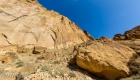
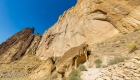
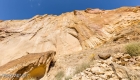
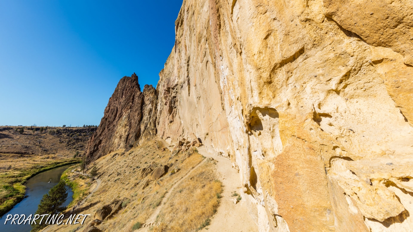
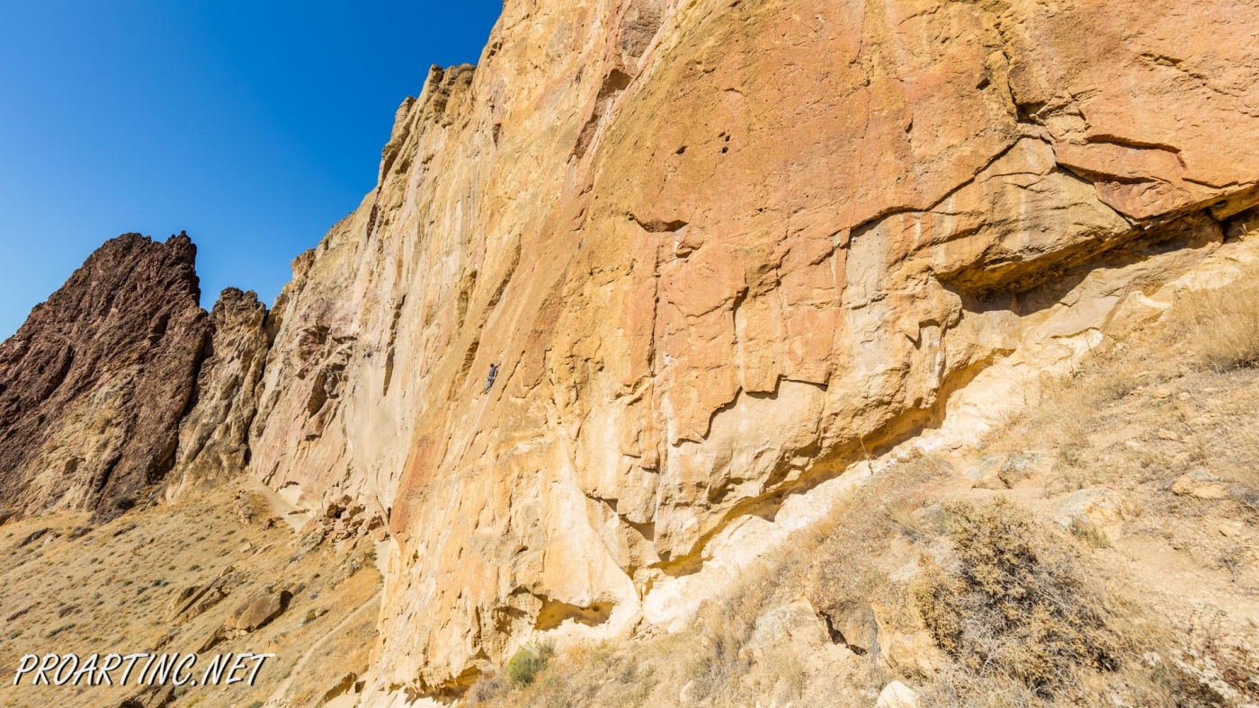
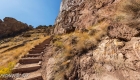
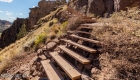
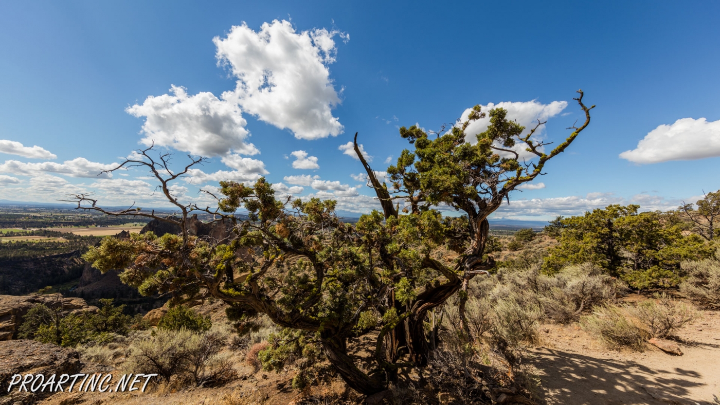
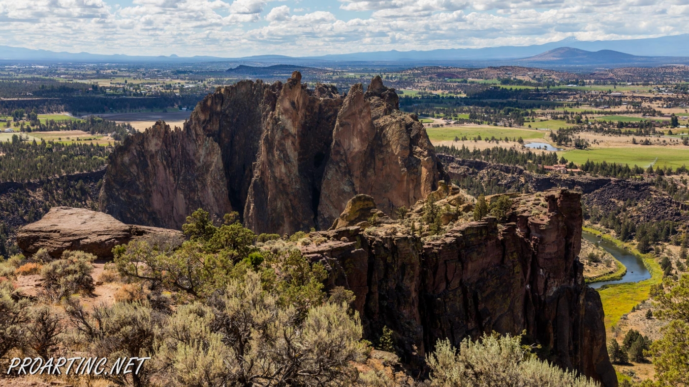
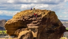
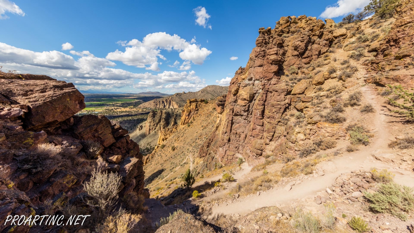
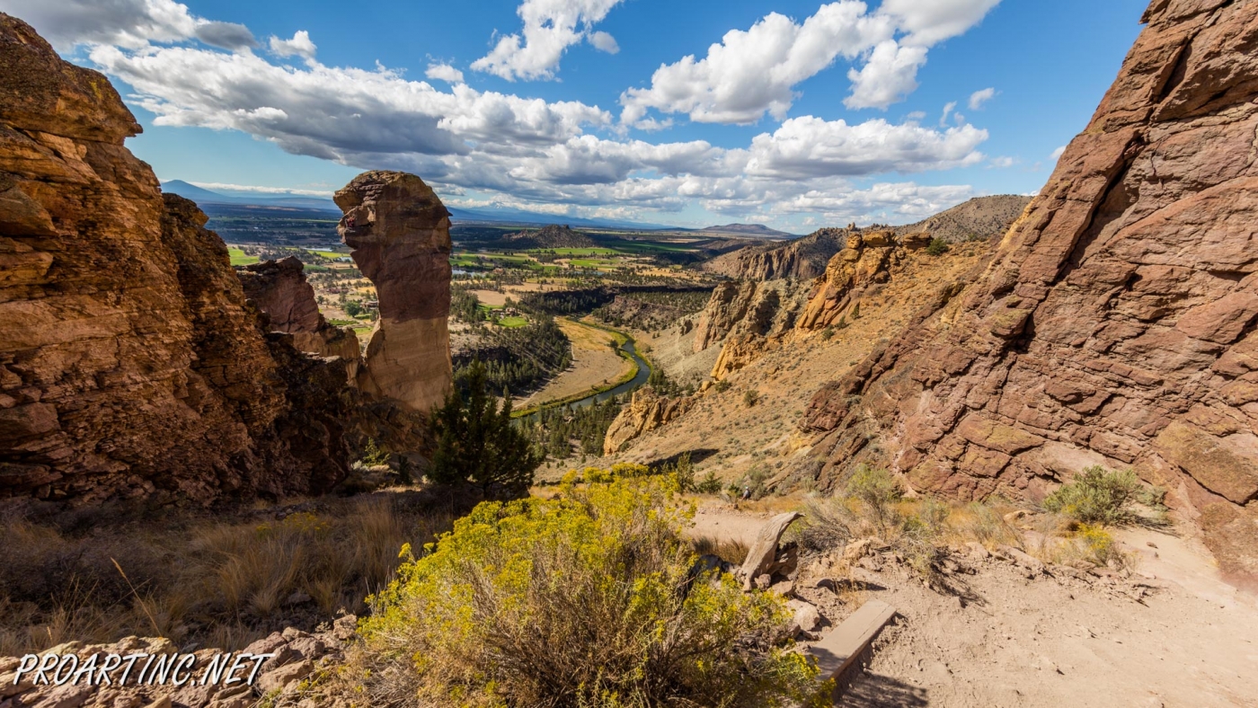
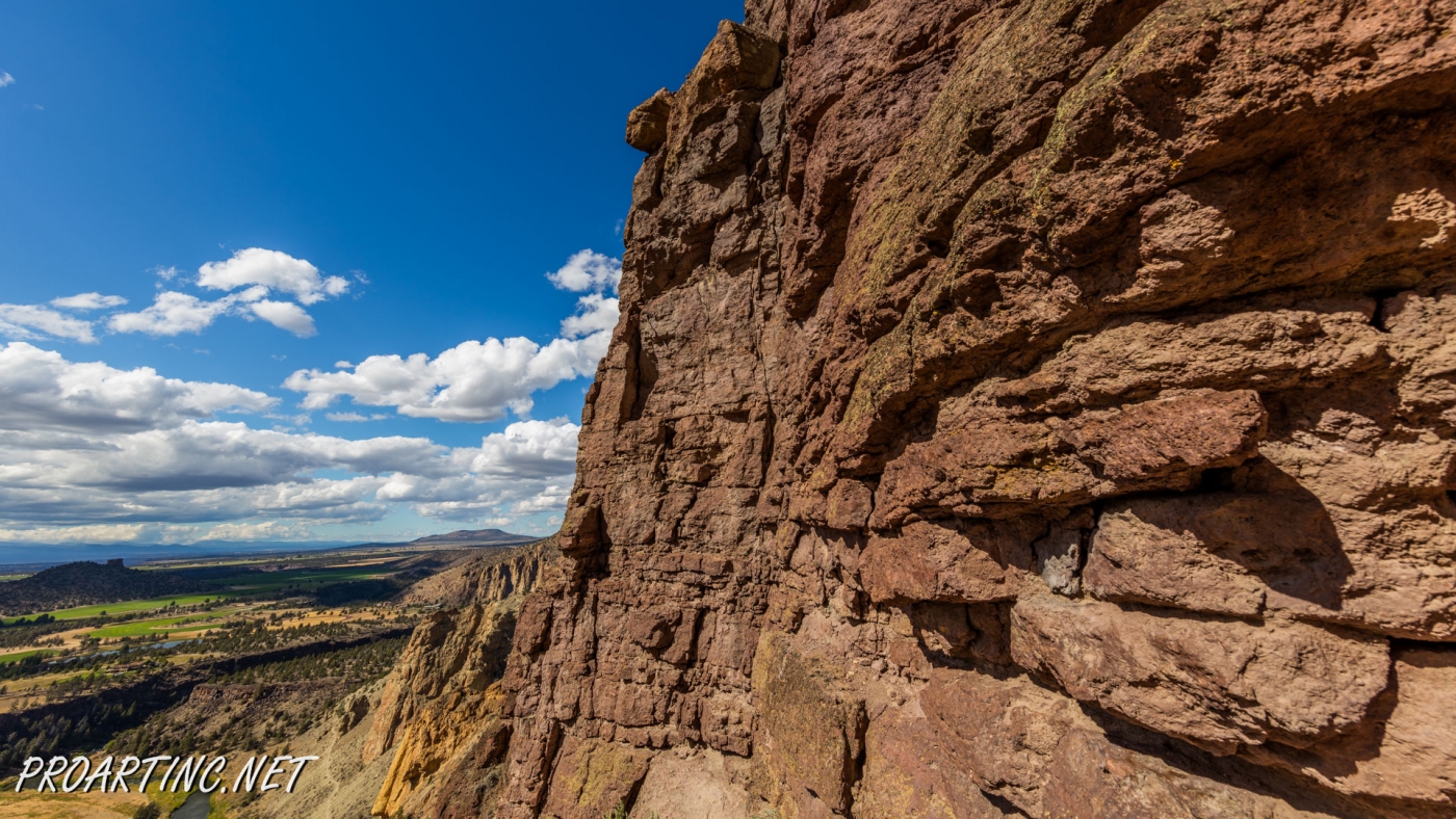
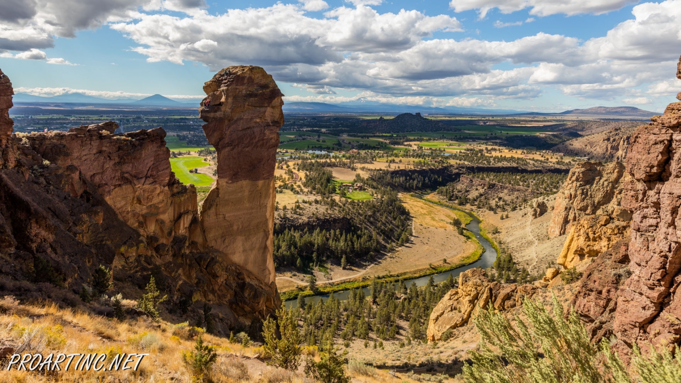
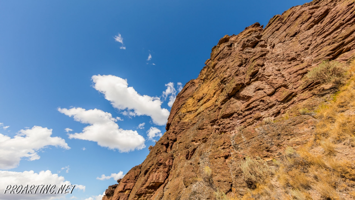
A couple of quite short switchbacks will take you to the upper part of the Misery Ridge. Several wooden stairs were made to help the hikers. Walking up the trail you will see several of the favorite destinations of the climbers – Picnic Lunch Wall, Ship Rock and of course, the Red Wall. On your way you will notice the areas on the towering rocks, looking like arks or small caves – the result of rock erosion throughout all the years of its existence.
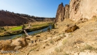
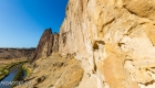
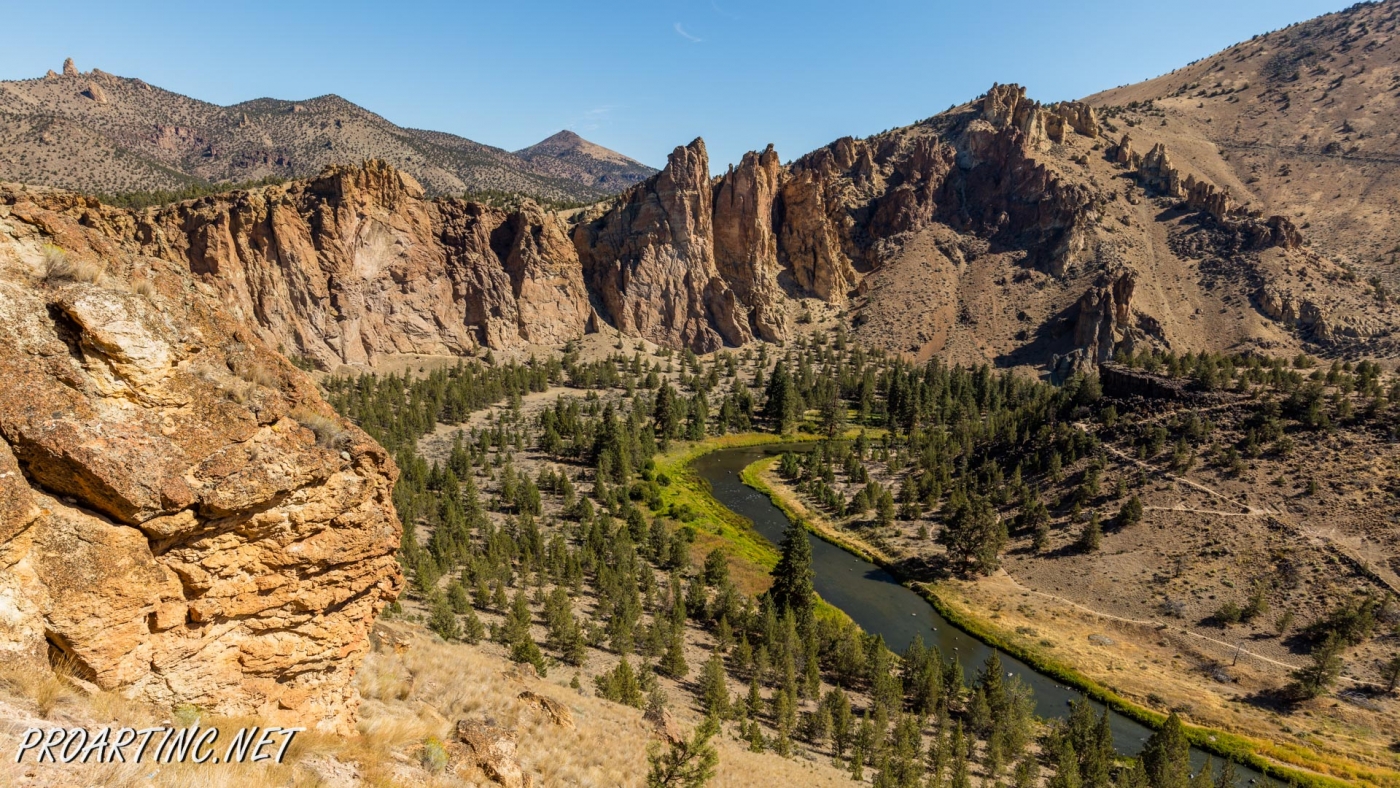
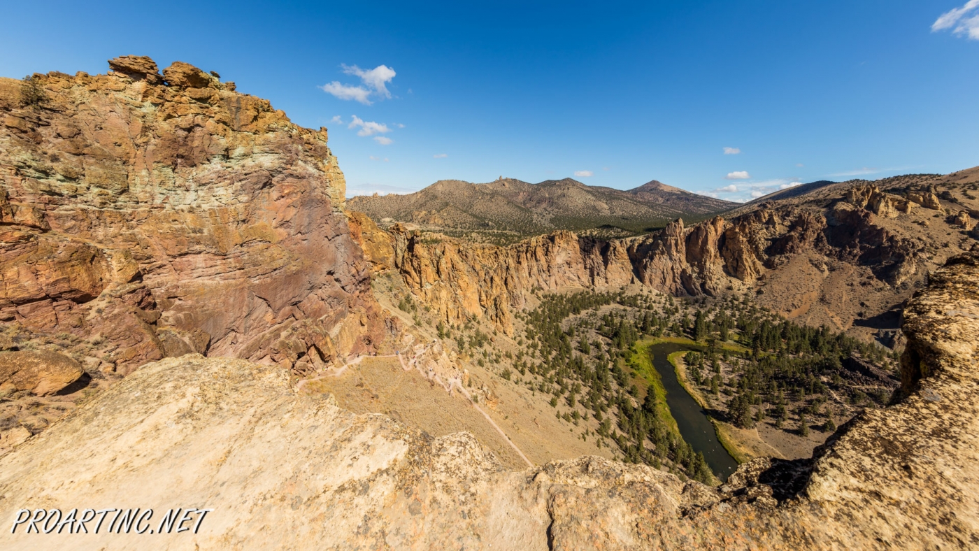
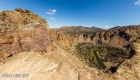
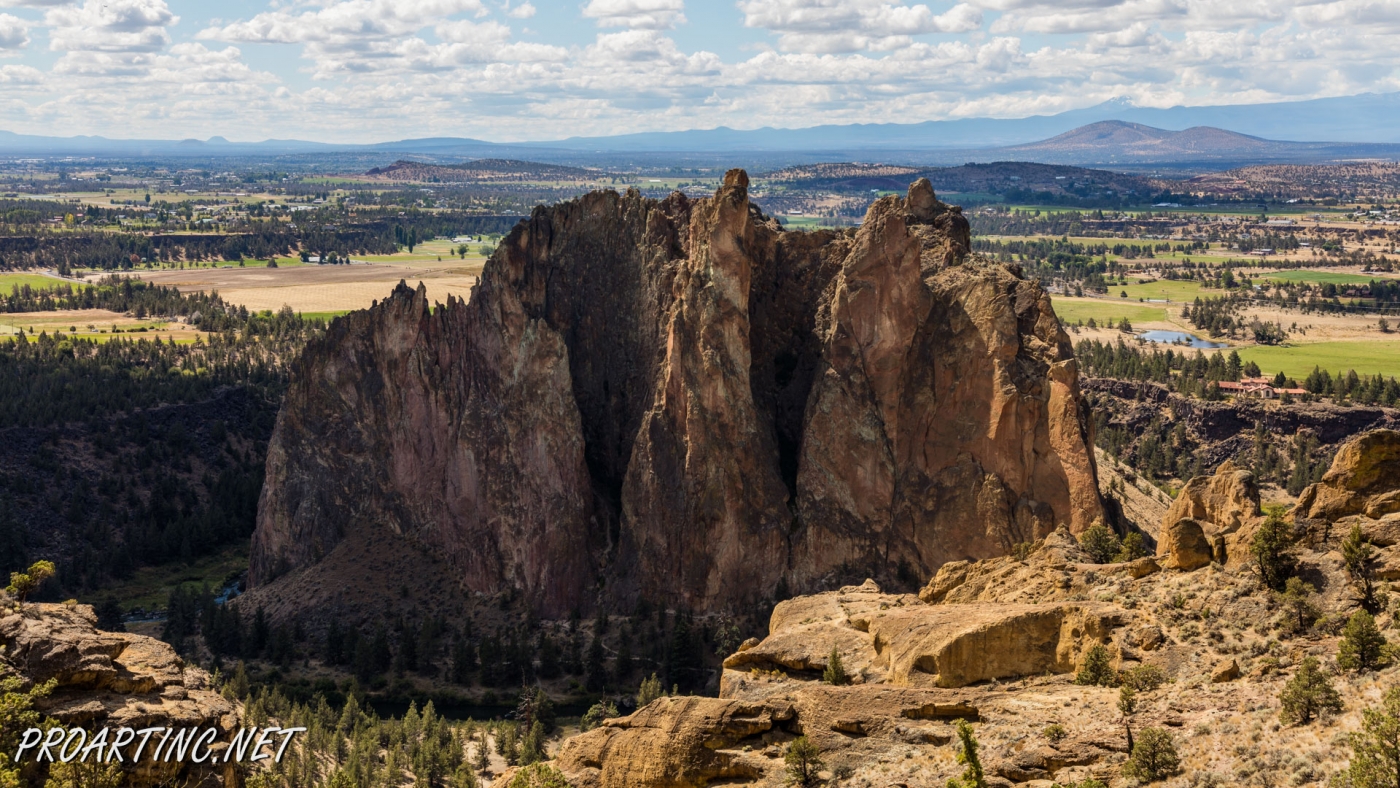
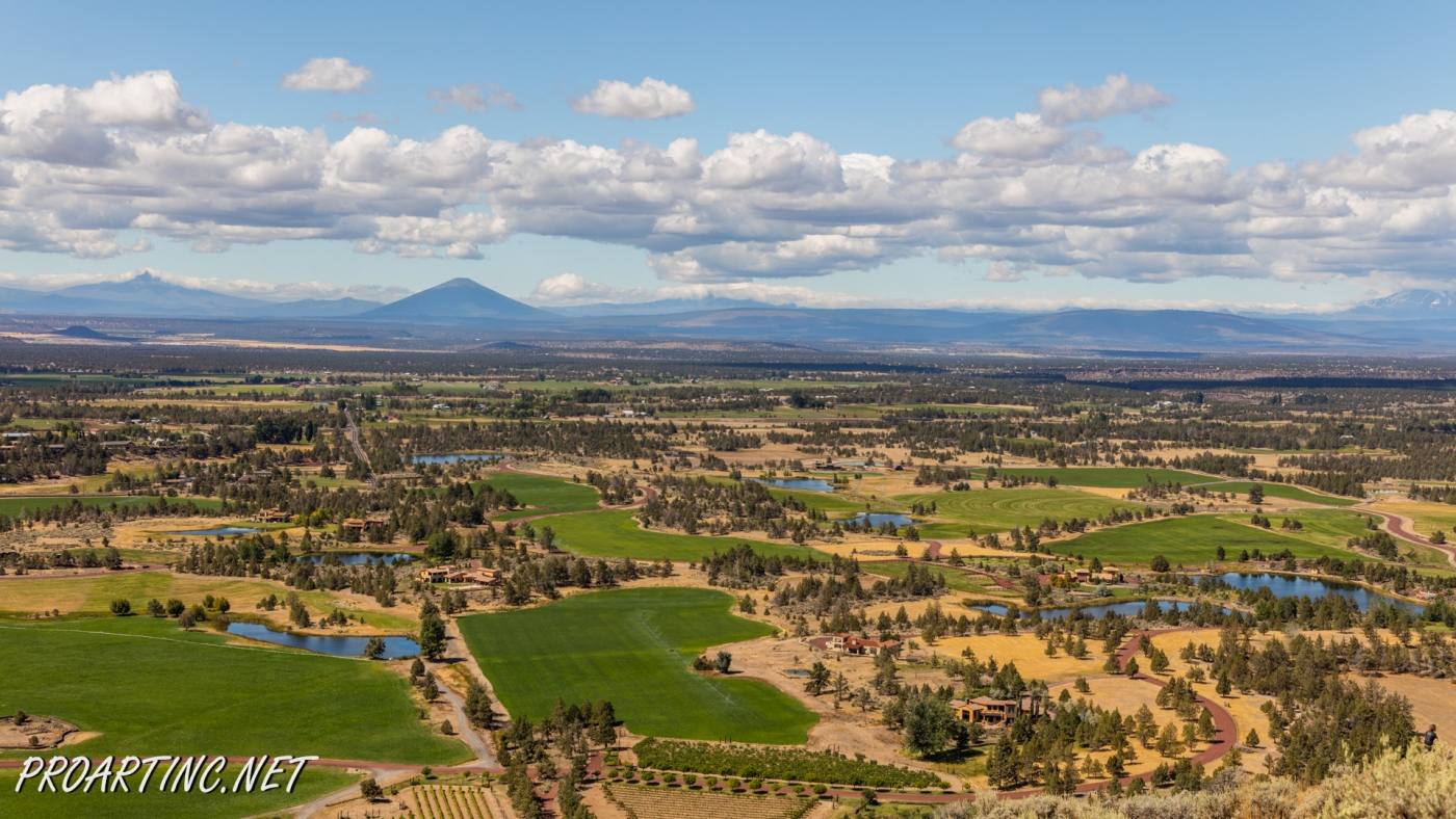
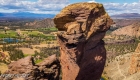
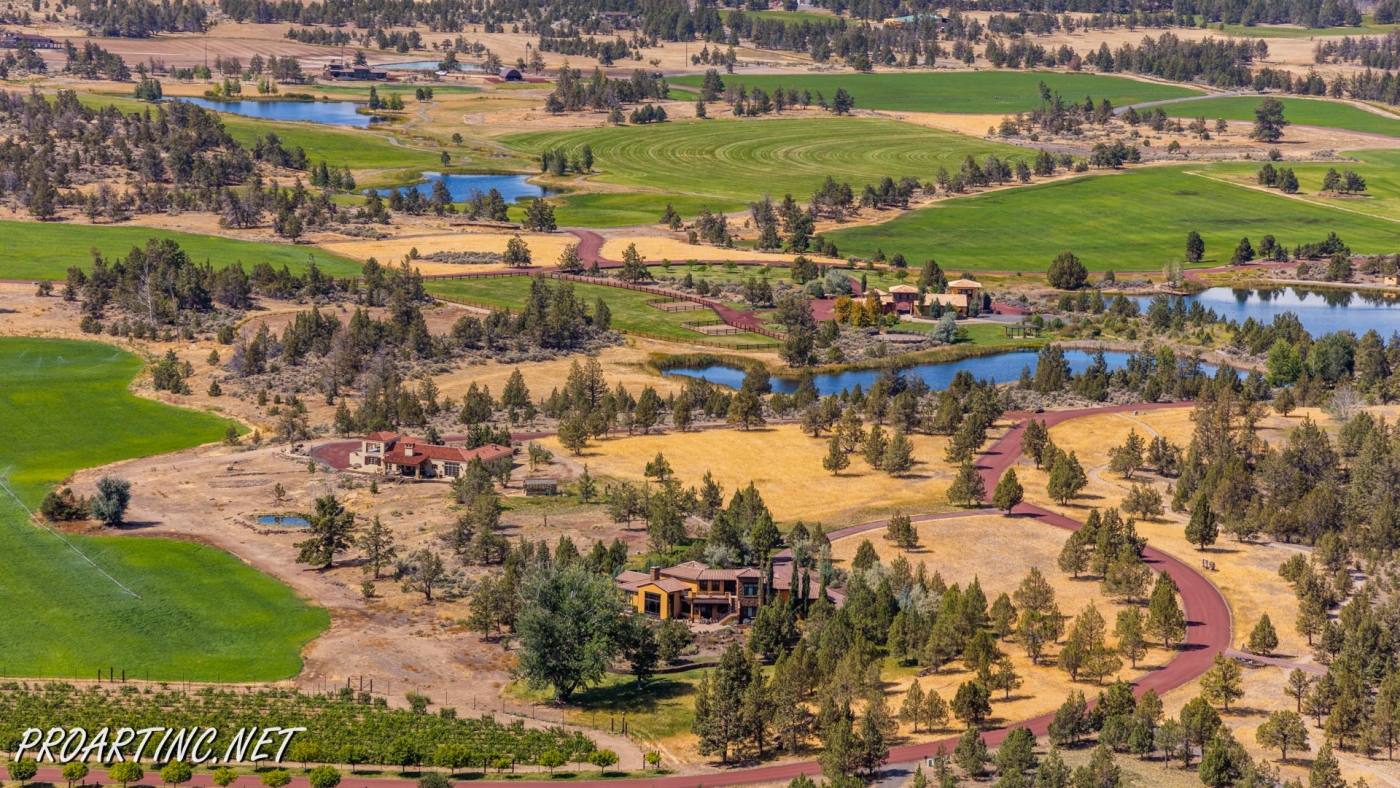
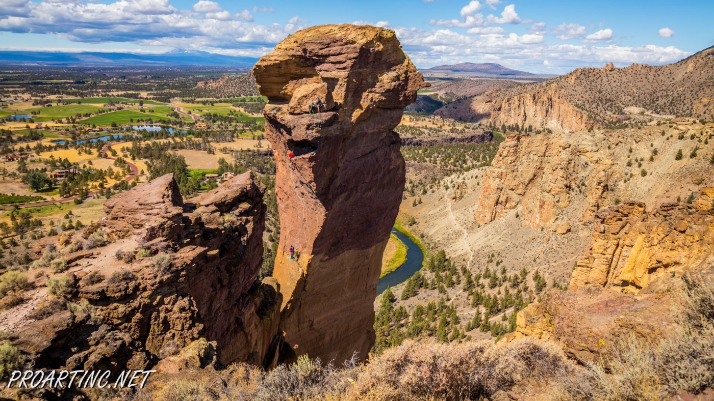
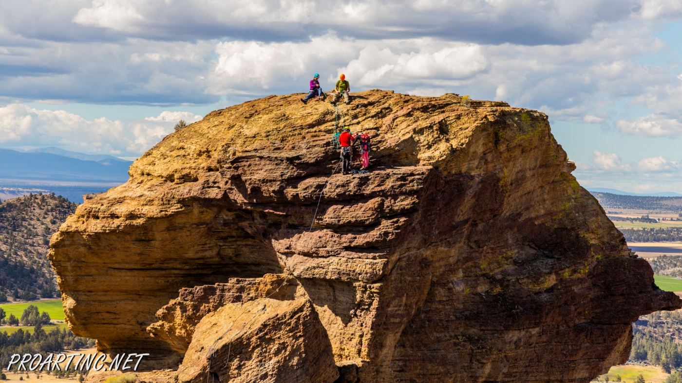
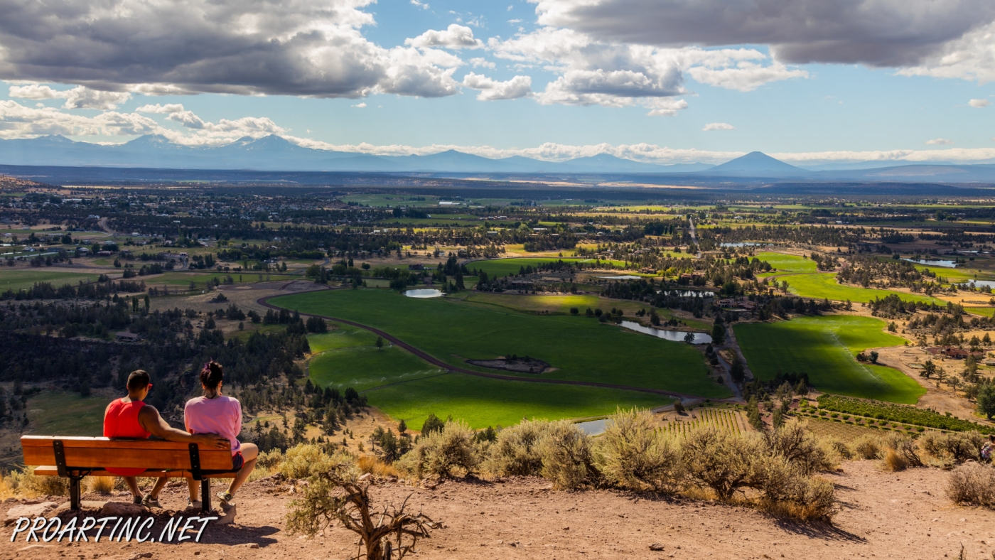
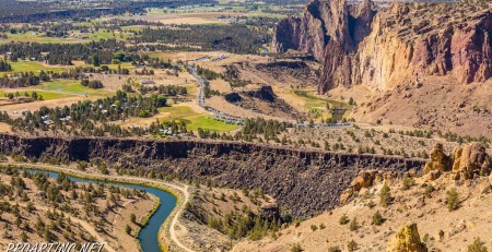
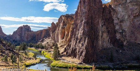
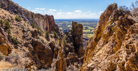
Once you get to the very top of the ridge, the misery you may feel during the ascent will give place to the whole-hearted astonishment and amazement as the views which open there are incredible. Catch your breath and take delight in viewing the Crooked River, meandering beneath the ridge. Enjoy the sweeping views of all the main peaks of Oregon’s Cascades, among which are Mount Hood, Mount Bachelor, Mount Jefferson, Broken Top and Three Sisters. And of course you will obtain an opportunity to behold priceless vistas of Monkey Face – one of probably most well-known icons of this state park.
Actually here, at this point, you will have a choice – to reverse your field and get down the ridge (the same way you came here), or to continue your hike, following the Mesa Verde Trail, and then the River Trail, completing the so-called Misery Ridge Loop, which is 3.7 miles long.
Photo: Roman Khomlyak
Photo Editing: Juliana Voitsikhovska
Information: Svetlana Baranova
Pictures taken: 09/4/16


Leave a Reply
You must be logged in to post a comment.