Winding Canyon Trail
Location: Smith Rock State Park
Length: 6.5 miles
GPS Coordinates: N 44 21.952 W 121 08.233
Smith Rock State Park is a very interesting place, where you can explore and enjoy nature hiking, or look at the park from another prospective – climbing.
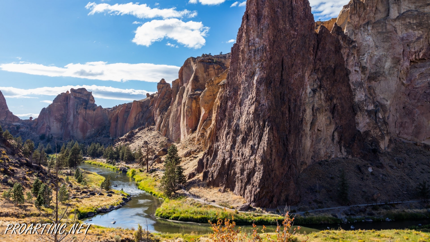
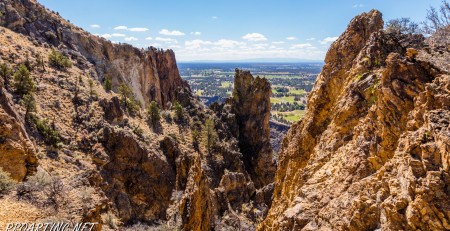
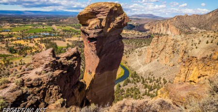
Canyon Trail is an easy 1.5-mile trail, which at some point it becomes steeper. It winds around Crooked River and provides nice views of the park.
This trail also allows hikers to enjoy forested area of the park, probably the only one here, and then the trail meets with the highway.
As you may know, almost all trails in the park start from the parking area and lead you down into the park canyon first. Take the paved road first and then continue on a gravel road on the Canyon Trail.
The trail system in the park is very easy, most of the trail interweave. The main Canyon Trail runs along the river and takes hikers to Rope-de-Dope climbing area. I love watching people to climb, it’s another way to enjoy and explore the park and test your endurance and strength. I can only imagine the views and the sunsets they see.
Along the trail hikers will also see such popular climbing areas as Christian Brothers and The Dihedrals. Continue going along the winding trail and enjoy the only forested area in the park. Enjoy the shade and explore this ecosystem of the park. The path continues to go up and takes you to the junction. It doesn’t matter what path you’ll take because both intersect with the highway.
Photo: Roman Khomlyak
Photo Editing: Juliana Voitsikhovska
Information: Maryna Petrova
Pictures taken: 09/2/16





Leave a Reply
You must be logged in to post a comment.