Salt Creek Interpretive Trail. Incredible life in salty water.
| Location: | Death Valley National Park, Stovepipe Wells Area |
| Length: | ½ mile |
| GPS Coordinates: | N 36 35.436 W 116 59.433 |
| Contact Information: | Death Valley National Park P.O. Box 579 Death Valley, CA 92328 |
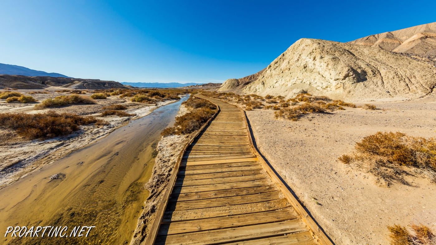
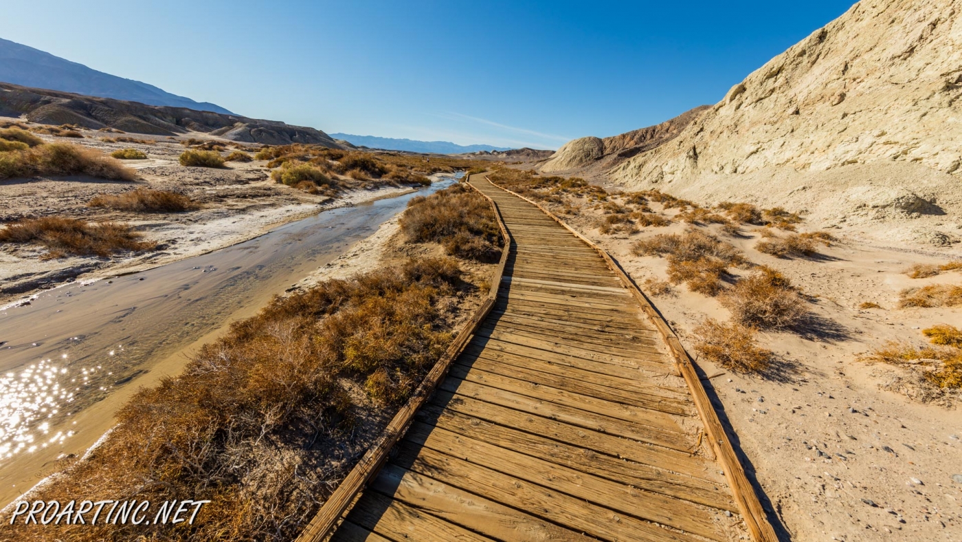
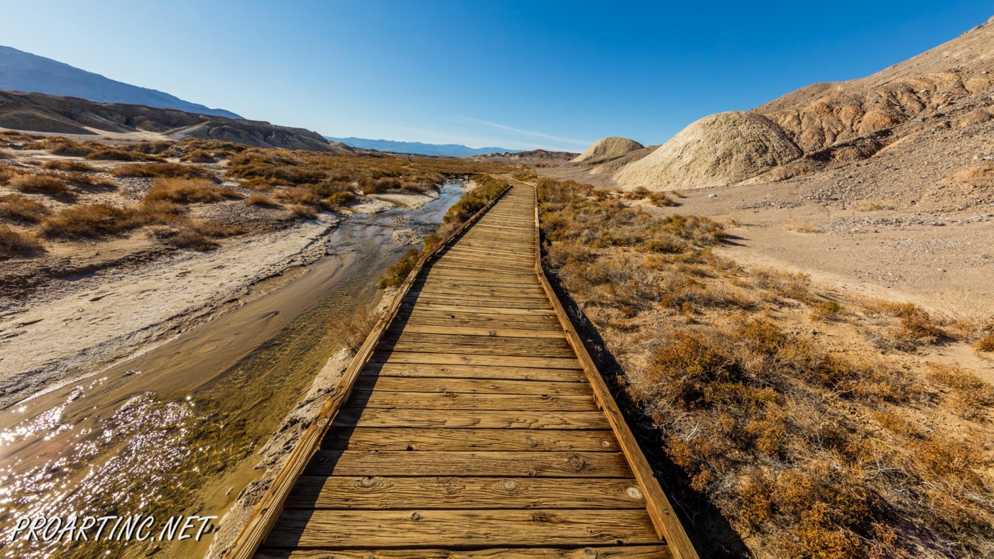
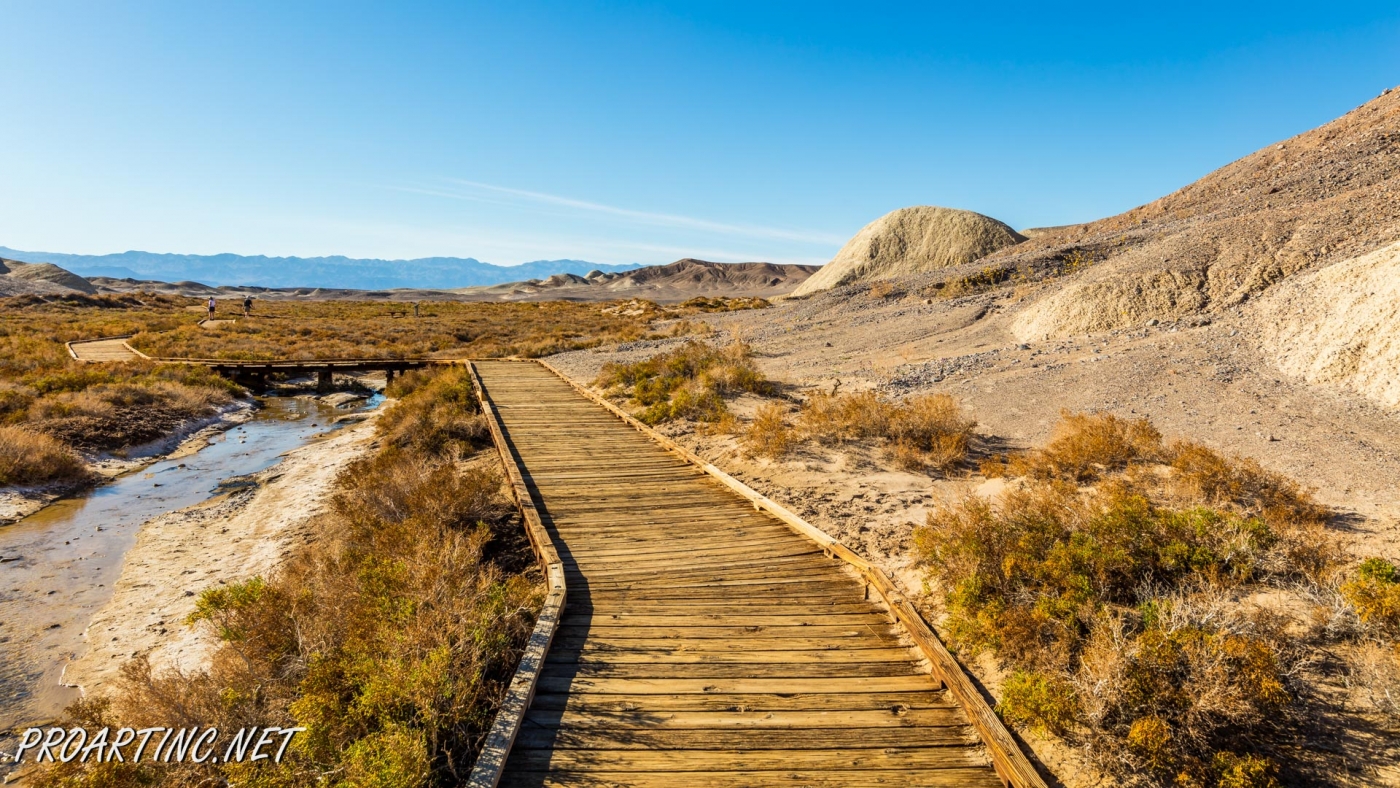
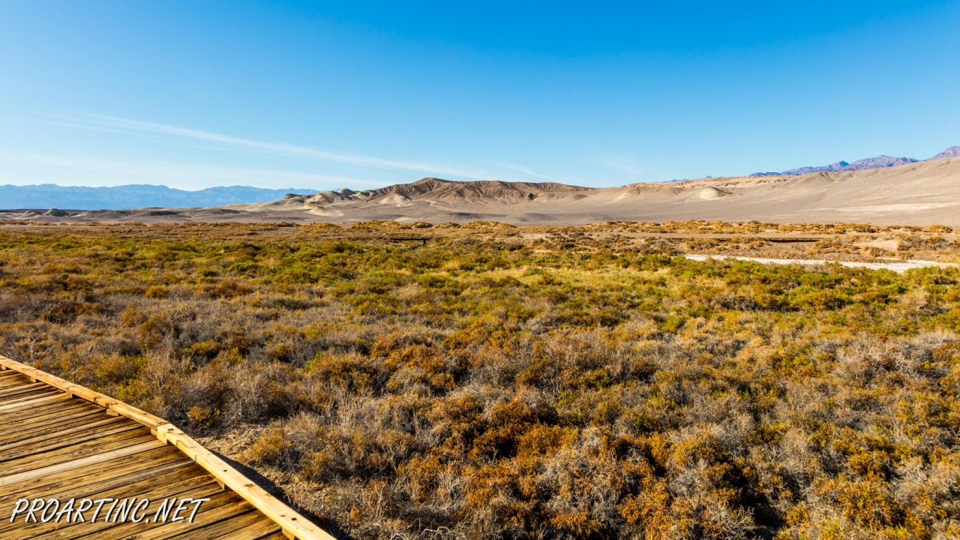
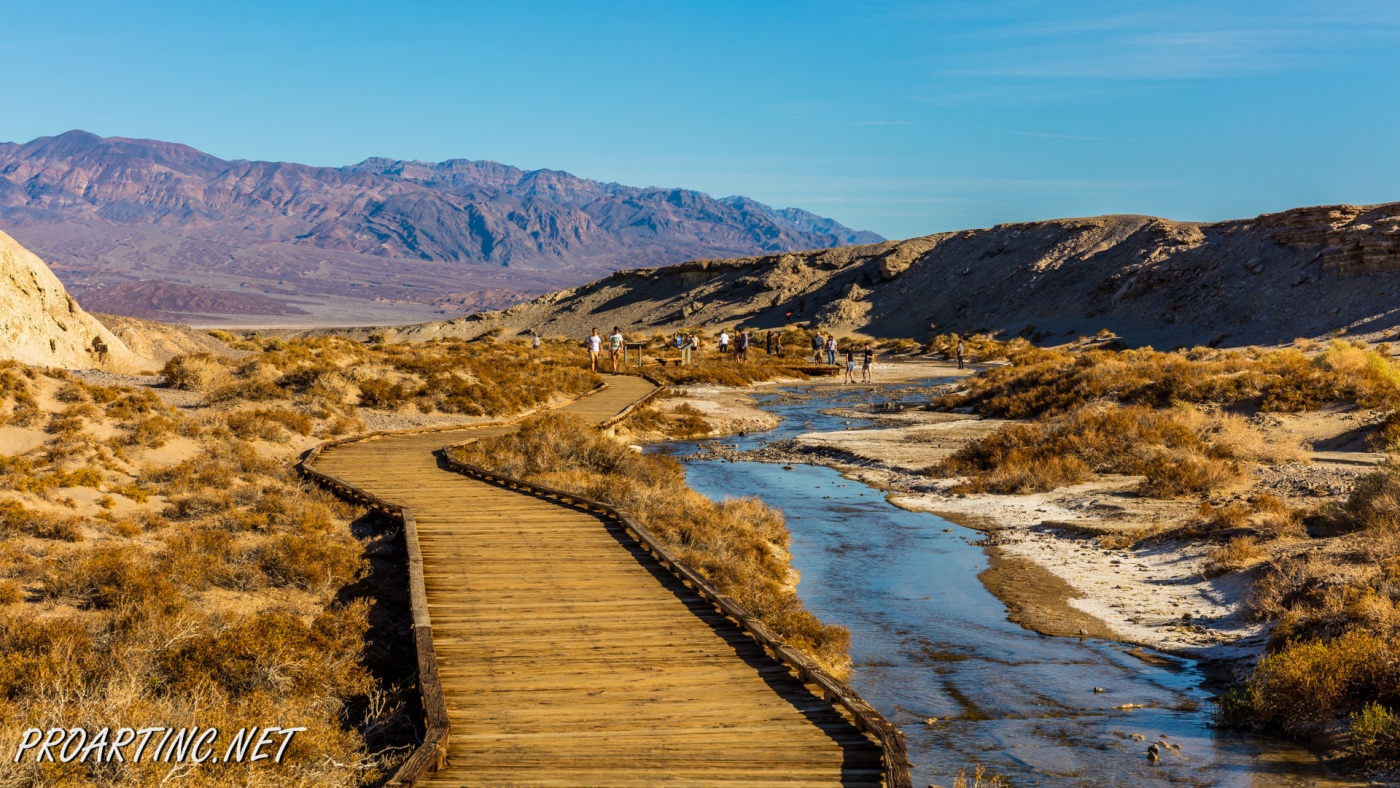
Salt Creek is a wonderful place in the Death Valley National Park. It is very unusual, because it’s hard to believe that in the desert you will find a real oasis full of life.
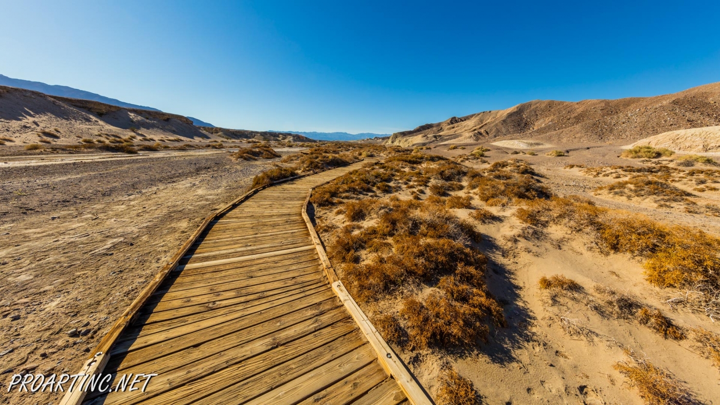
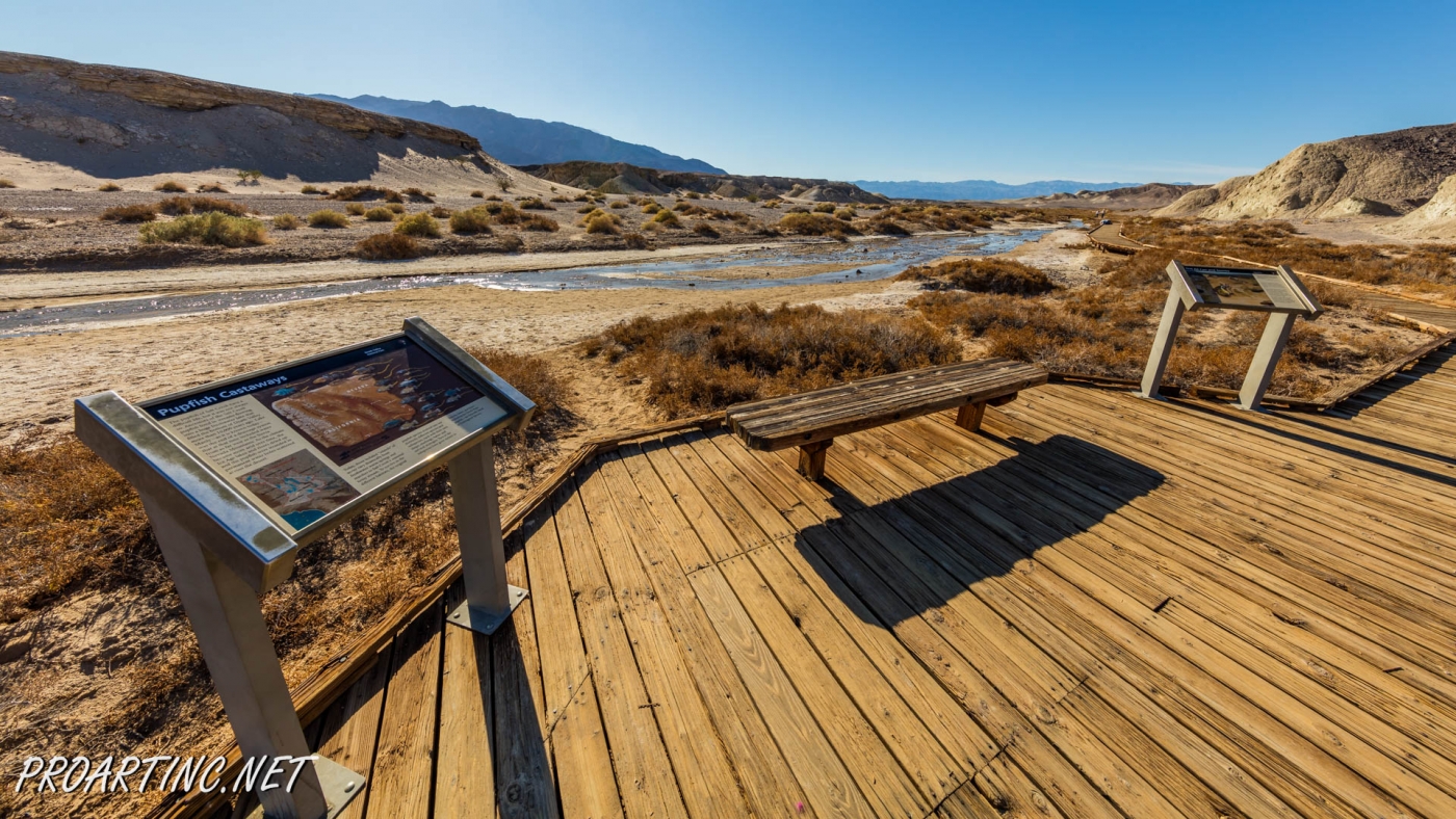
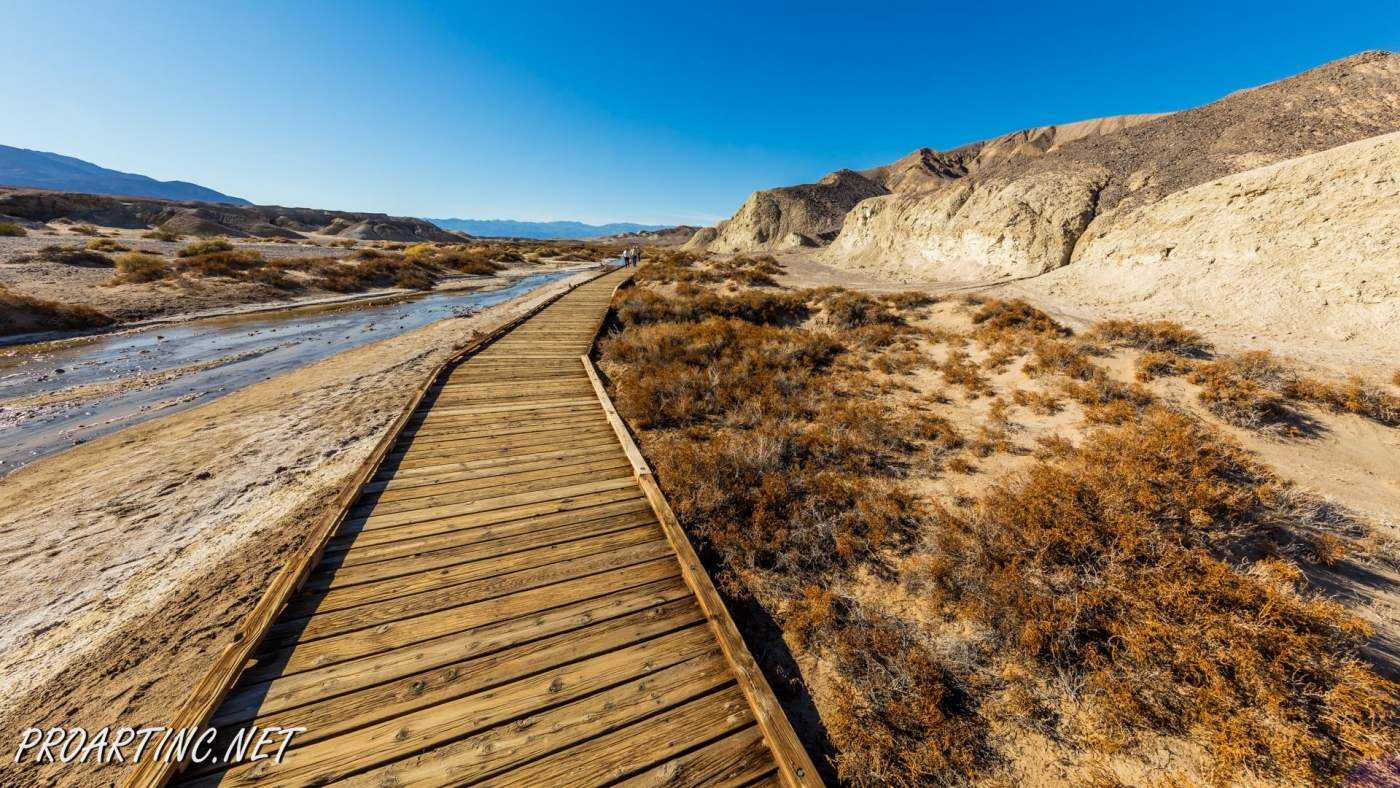
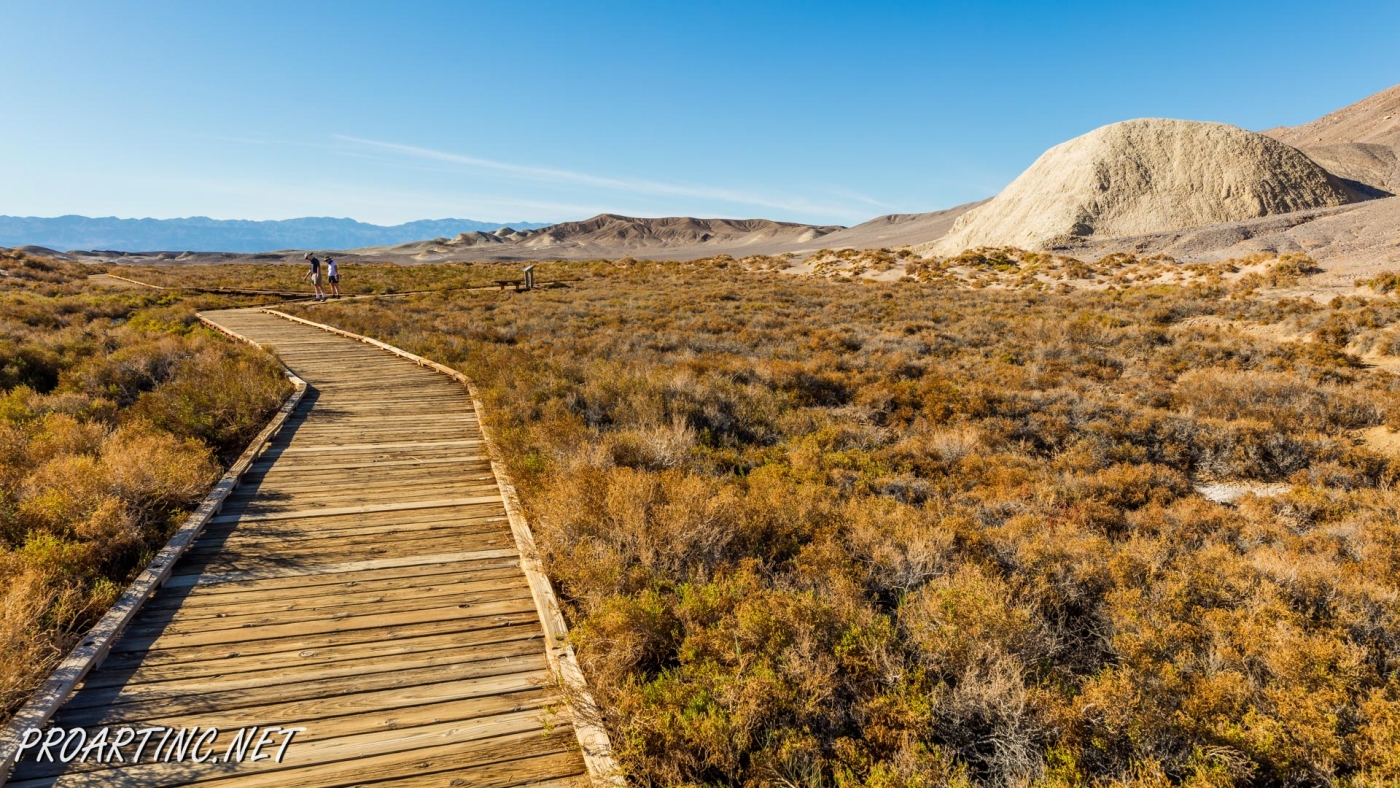
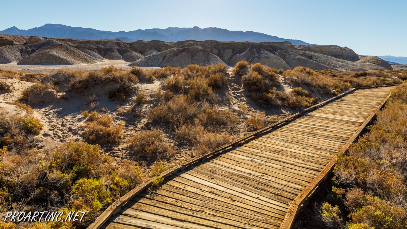
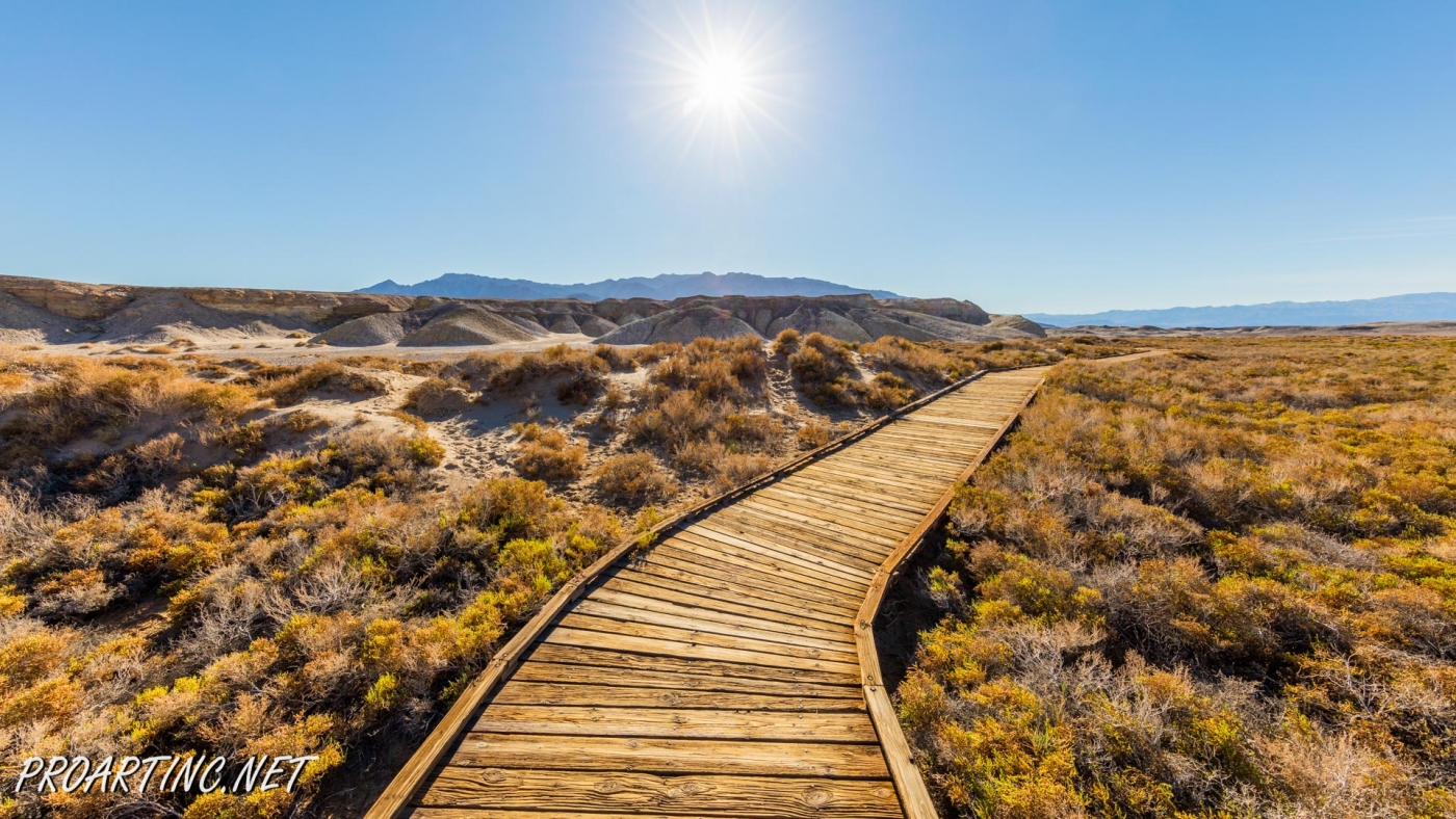
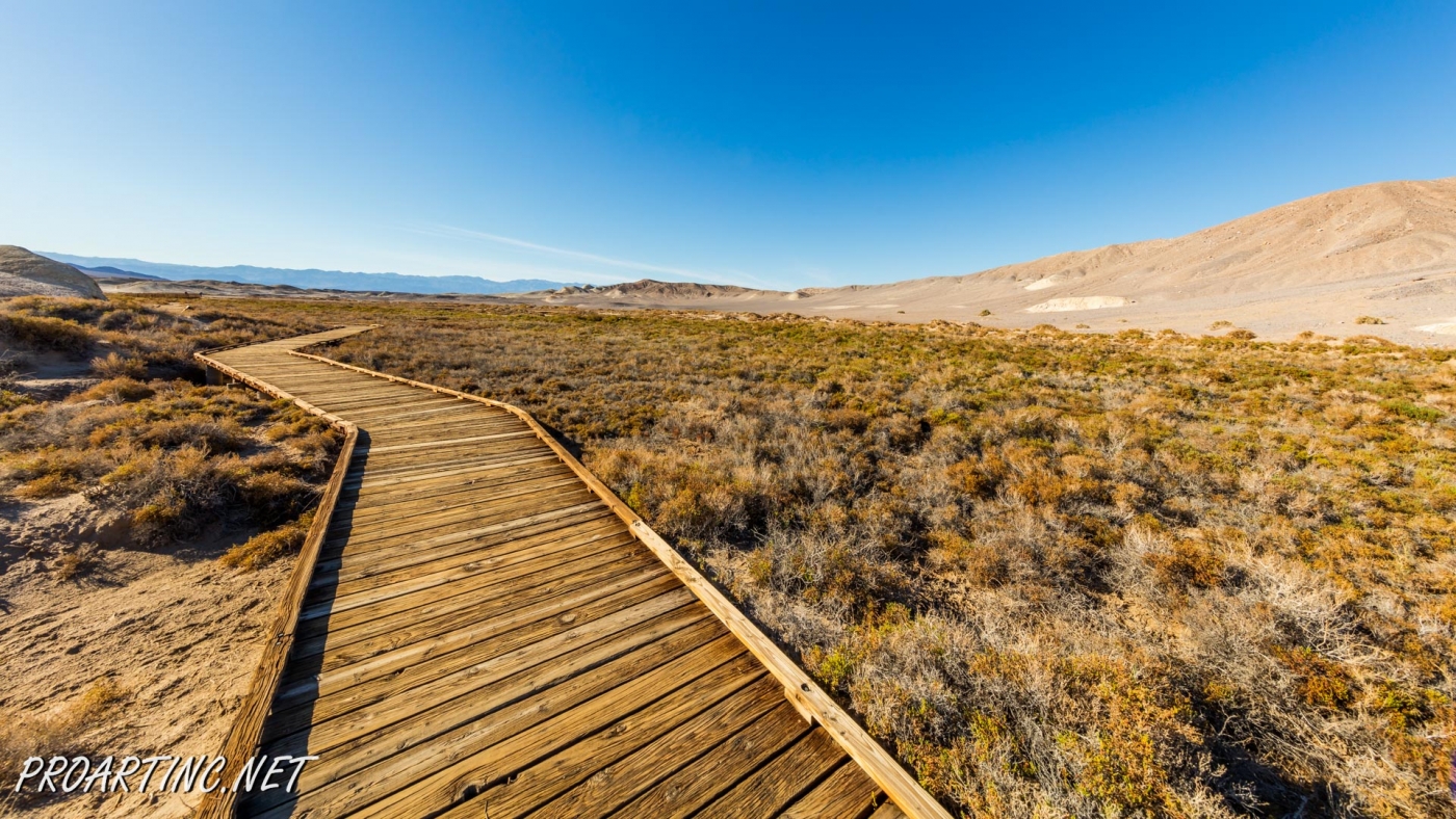
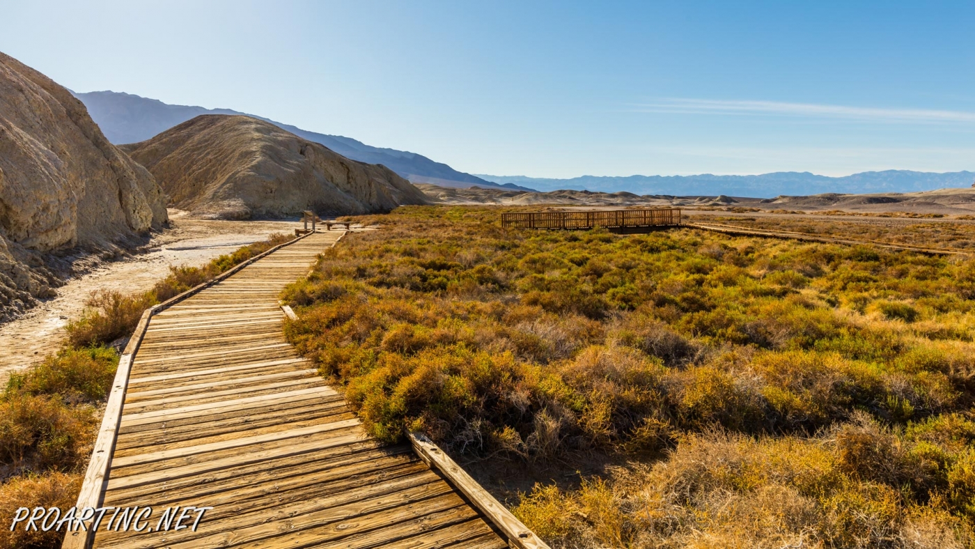
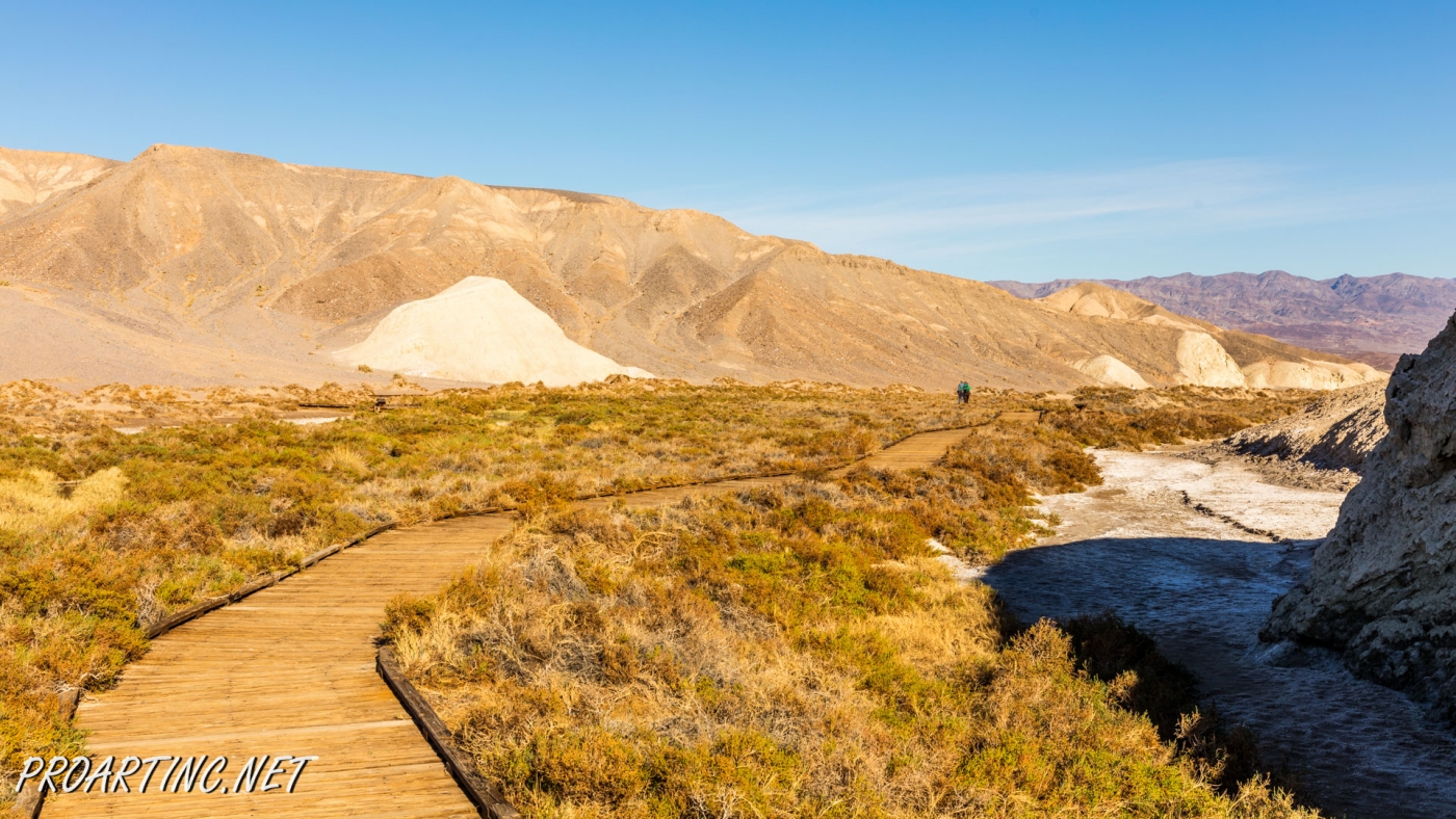
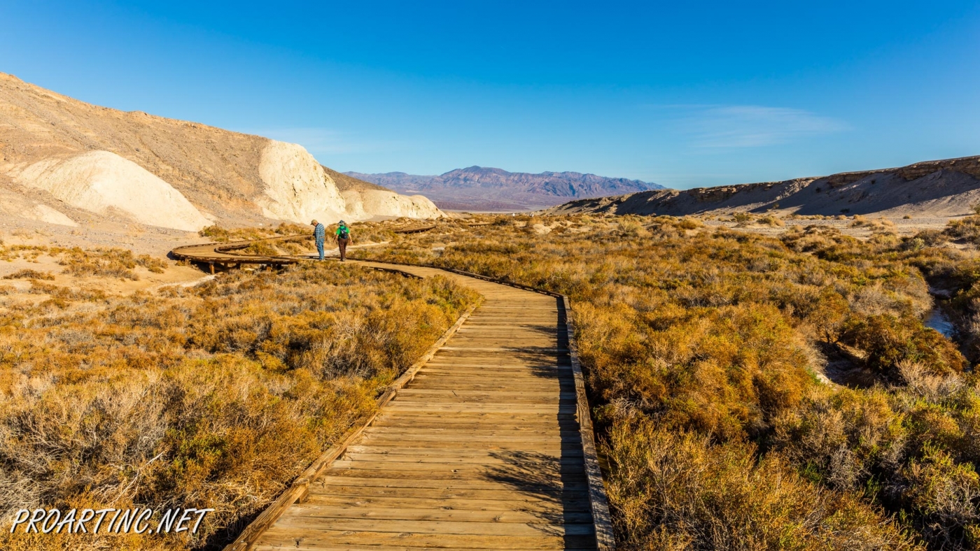
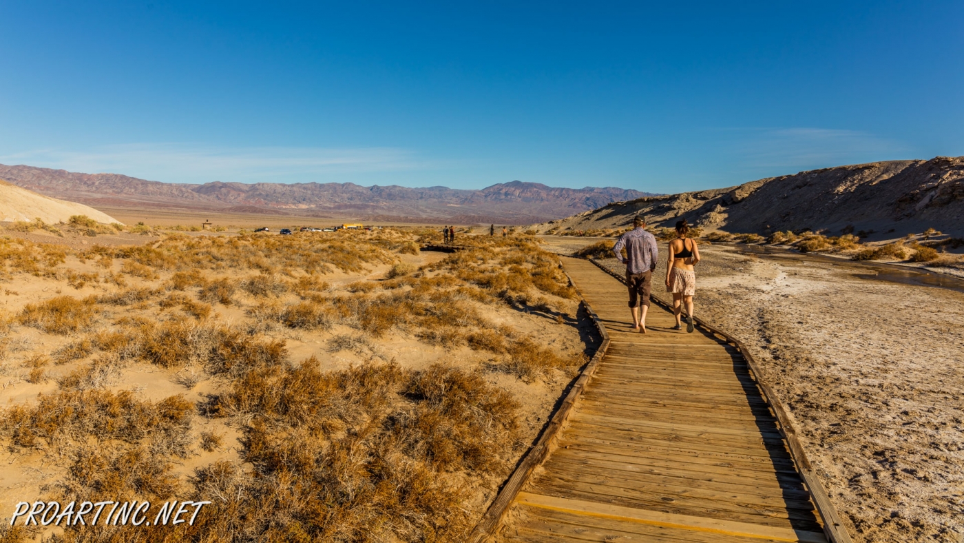
If we talk about the trail itself, it is considered to be well-maintained and covered with wood boards. It’s not even a trail for hiking; it’s a pleasant walk trail along the fragile ecosystem. Lots of signs remind visitors to stay on trail and take good care of the nature. The trail is very easy and leads you over the stream.
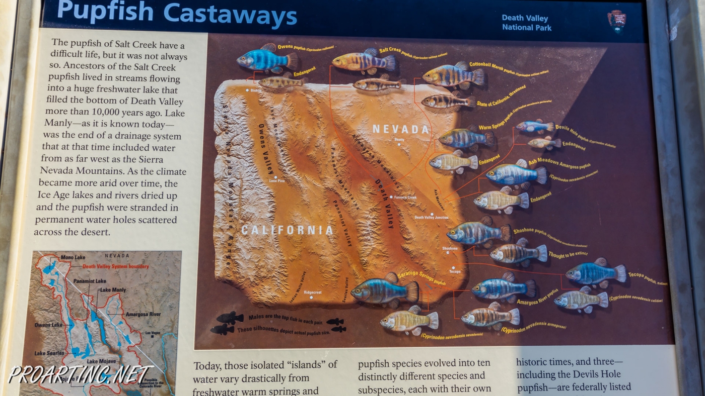
Thousands years ago the territory of the Death Valley was covered with fresh water lakes, but in the result of the climate change, the lakes dried up and only little lakes were left. But today, in these small salt bodies of water you will see (if you are very attentive) Pupfish. Over the years the Pupfish intergraded into different species. Several species disappeared and some are considered to be on the edge of extinction.
This small fish can be found nowhere outside the park. Dr. Carl Hubbs, “father” of Western ichthyology once noted that these fish play together like puppies. These fish can be found only on the territory of the Death Valley National Park. The pupfish is a very small, silvery colored with dark bands. Its average length is 1.5 inches. Pupfish can survive in the water with a temperature of 113 degrees, they can also live in the water that is twice salty than in the ocean. When the water evaporates, the pupfish becomes dormant and burrows itself in the mud at the bottom of the salty creeks. With lifespan of one year or less, these tiny fish are in a hurry to feed and breed. If these fish are of a big interest to you, the best time to see them is early spring.
Generally speaking, this short ADA-accessible loop trail provides great opportunities to enjoy this rare scenery, as well as wildlife.
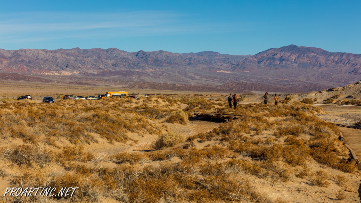
To get to the trailhead: From Stovepipe Wells Village, head 12.5 miles west on CA-190. From Furnace Creek, head north about 12.4 miles on CA-190. Turn onto a marked dirt road for Salt Creek. Continue driving for one mile until you see the trailhead.
Photo: Roman Khomlyak
Photo Editing: Juliana Voitsikhovska
Information: Marina Petrova




























Leave a Reply
You must be logged in to post a comment.