Tag - views

The Best Views of the Painted Hills Overlook Trail

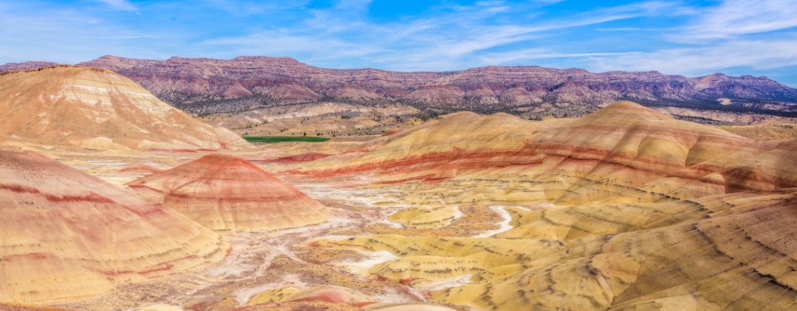
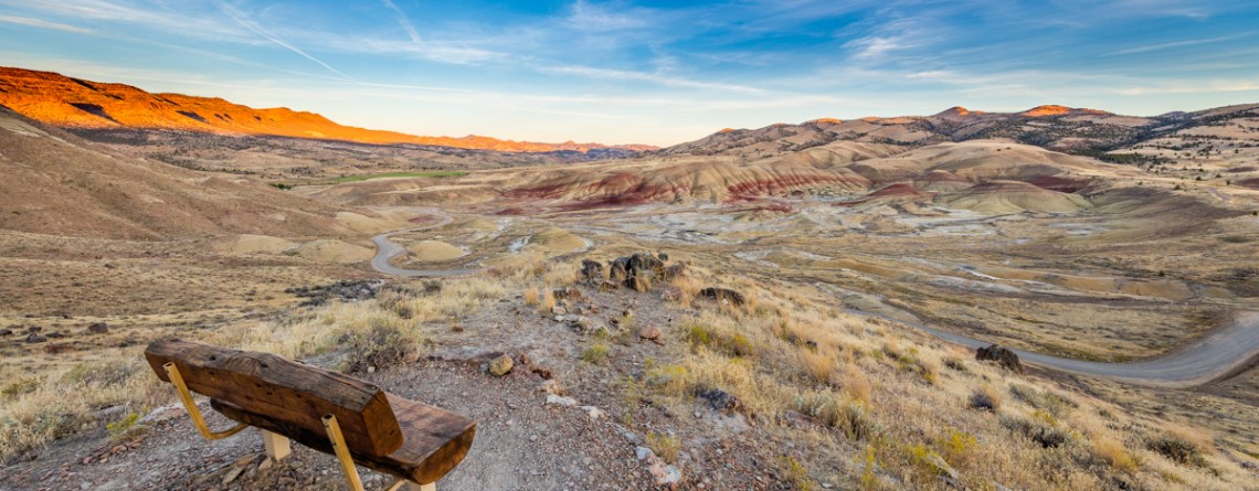
Location: Painted Hills Unit, John Day Fossil Beds National Monument, Oregon Round Trip: 0,5 miles Difficulty: Easy Elevation Gain: 100 feet GPS Coordinates: N 44 38.997 W 120 16.005 Visitor’s Information Open: all year round No Pass Required   One more option to enjoy some really scenic views of the Painted Hills and get the most out of this incredible area is hiking the Painted Hills Overlook Trail. It’s much shorter than the Carroll Rim Trail, but the fabulous views it opens for its visitors are highly competitive with those of the Carroll [...]

The surreal views of the Carroll Rim Trail

Location: Painted Hills Unit, John Day Fossil Beds National Monument, Oregon Round Trip: 1,6 miles Difficulty: Moderate Elevation Gain: 400 feet GPS Coordinates: N 44 39.117 W 120 16.042 Visitor’s Information Open: all year round No Pass Required The Painted Hills Unit is one of three parts /units of the John Day Fossil Beds National Monument. And if the Clarno Unit is one of the most remote and the least visited one, the Painted Hills Unit is the most beautiful part of the National Monument. You don’t need to be scientist interested [...]

Trillium Falls Trail – a real gem of the Redwood National Park

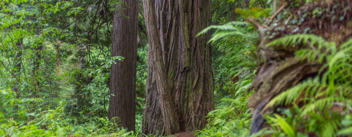
Location: Redwood National Park, California Round Trip: 2,8 miles loop Difficulty: Moderate Elevation Gain: 400 feet GPS Coordinates: N 41 19.440 W 124 02.621 Visitor’s Information Open: all year round No Pass Required The Trillium Falls Trail is one of the most popular trails in the Redwood National Park, and that is not only due to an easy access to it, but also to the features it is offering to its visitors. This 2,8 miles loop, which is one of the newest trails in the Park (finished in 2002) will take you [...]

Interesting facts about Lookout Mountain Road, Baker County, Oregon

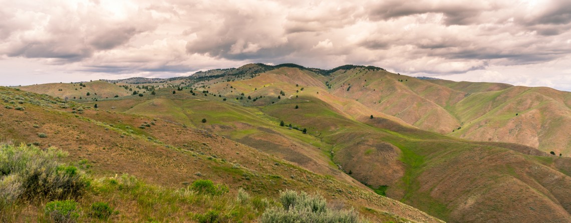
Location: Baker County, Oregon Length: about 17 miles GPS Coordinates: N 44 28.491 W 117 20.478 Visitor’s Information Open: all year round No Pass Required Sometimes vanity and excessive pace of a big city is exhausting us so much that it seems nothing can please us any more, favorite work doesn't provide any sense of accomplishment, and even family brings to our life only irritation instead of joy and happiness... The main thing is to understand at the right time that it's a point in your life to [...]

Meeting the North Rim – North Kaibab Trail

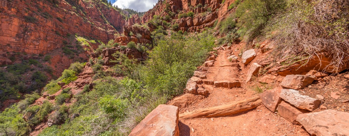
Location: Grand Canyon, North Rim Round Trip: 28 miles Difficulty: Strenuous Elevation Change: 5,760 feet Highest Point: 8,241 feet (at the trailhead) GPS Coordinates: N 36 13.023 W 112 3.414 Visitor’s Information Open: mid. May – mid. October Planning to visit the Grand Canyon, you’ll have to decide first from which Rim to experience this breathtaking natural feature of Arizona State: South Rim, West Rim or North Rim. The North Rim is considered the least popular among tourists and hikers, but the reason for this is not the lack of picturesque views, scenic [...]

South Rim Viewpoints

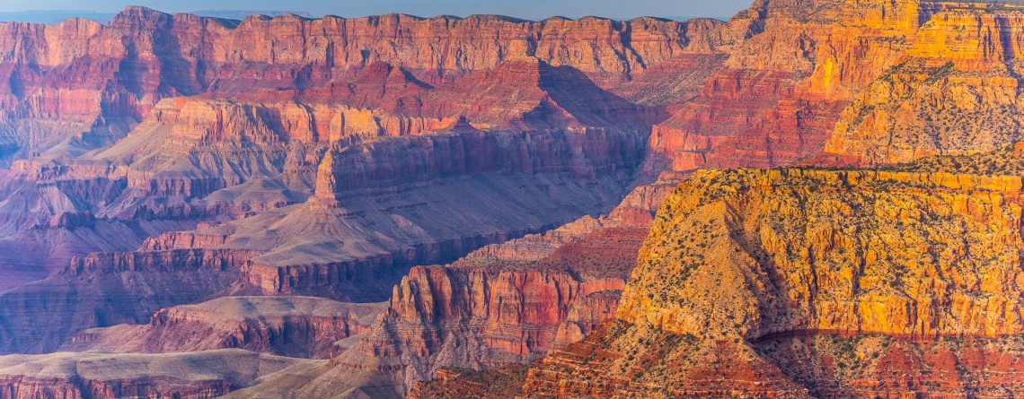
Location:    Grand Canyon, South Rim GPS Coordinates:    N 36 3.558 W 112 6.581 Visitors Information:    No Fee Required The gorgeous South Rim has so much to offer to its visitors. Basing on what you feel interest in, there are many options of exploring the Grand Canyon from the South Rim. It has totally about 50 viewpoints opening for the visitors magnificent vistas of the canyon (and these are only named viewpoints, without regard to various unnamed pull-outs and viewpoints). Some of [...]

Why are the views from Desert View Watchtower are the best ones?

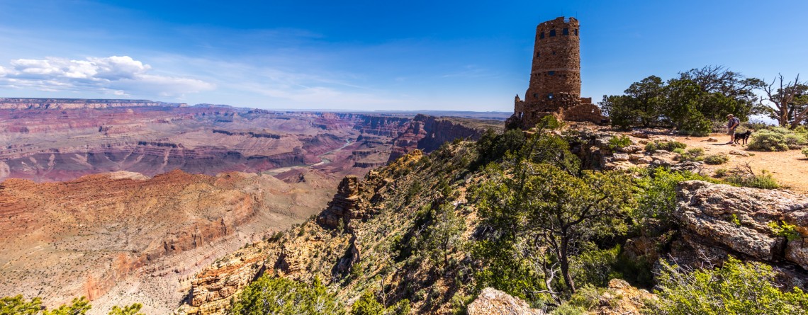
Location:    Grand Canyon, South Rim Hours:    8 a.m. – 8 p.m. Elevation:    7438 feet GPS Coordinates:    N 36 2.649 W 111 49.568 Visitors Information:    Open all year round Entering South Rim from the South Entrance you will find yourself at Grand Canyon Village – a tourist center of the South Rim, with a Visitor Center, all the lodges, restaurants, historical points of interest and main transportation junction of the South Rim. If you decide to travel along the rim enjoying the variety of [...]