Author - ProArtInc.net

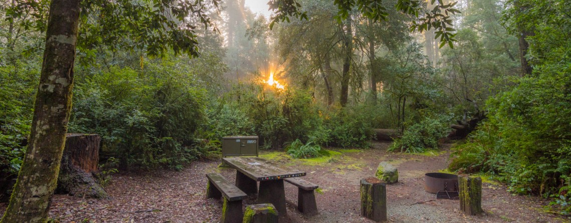
Jedediah Smith Redwoods State Park Campground 5

Jedediah Smith Redwoods State Park Campground

  Location: Jedediah Smith Redwoods State Park, California Address: 1111 Second Street, Crescent City, CA 95531 Phone for reservation: 800-444-7275  or at website of Reserve America Open Season: Year round (high season May 15th – September 30th) Vehicle Length Limit: 36-foot RV or 31-foot trailer GPS Coordinates: N 41 47.884 W 124 05.074 While exploring an outstanding JSRSP don’t miss a chance to spend a night under the canopy of the incredible gigantic redwood trees for the abundance of which this park is famous. Jedediah Smith Redwoods [...]

Hatton Trail 22

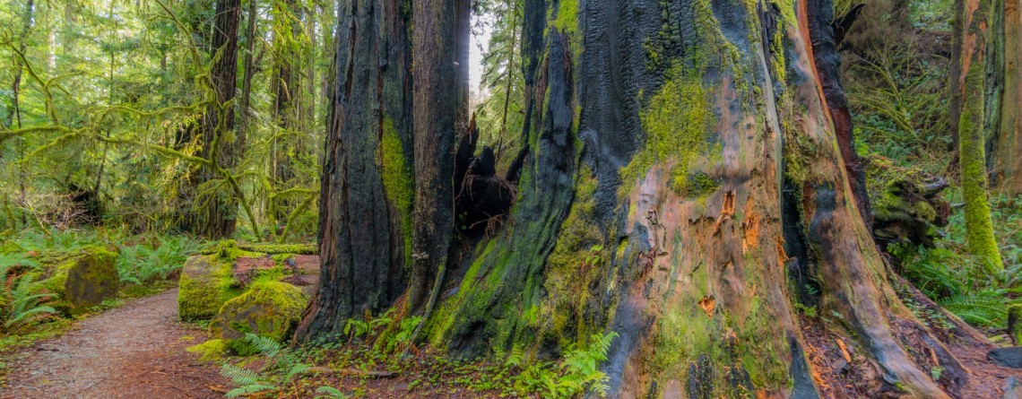
An amazing diversity of woodland shown by the Hatton Trail

  Location: Jedediah Smith Redwoods State Park, California Length: 4,3 miles Difficulty: Moderate Elevation gain: 360 feet GPS coordinates: N 41 48.692 W124 06.388 The Hatton Trail is one of the well-favoured routes giving a chance to explore Jedediah Smith Redwoods State Park. Moreover, this is three-in-one trail described here, as it combines the Hatton Loop, the Hatton Trail itself and a short spur-trail to Lohse Grove. The trail is located on the southern side of Highway 199, and can be accessed from two flanks: you may [...]

Boy Scout Tree Trail 3

Boy Scout Tree Trail – an incredible journey amidst titanic trees

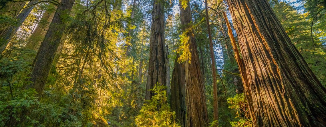
  Location: Jedediah Smith Redwoods State Park, California Length: 5,3 miles Difficulty: Moderate Elevation gain: 750 feet GPS coordinates: N 41 46.098 W124 06.624 A beautiful Jedediah Smith Redwoods State Park (or Jed Smith, as it is called among the hikers), is the northern section of the Redwood National and State Parks, containing 7% of the primeval redwood forests, which are left in the whole world. And the ultimate way to get a deep feel of this amazing place is to hike the Boy Scout Tree Trail. Nowadays [...]

Heron Pond / Swan Lake Loop 16

Heron Pond / Swan Lake Loop Trail of Grand Teton National Park

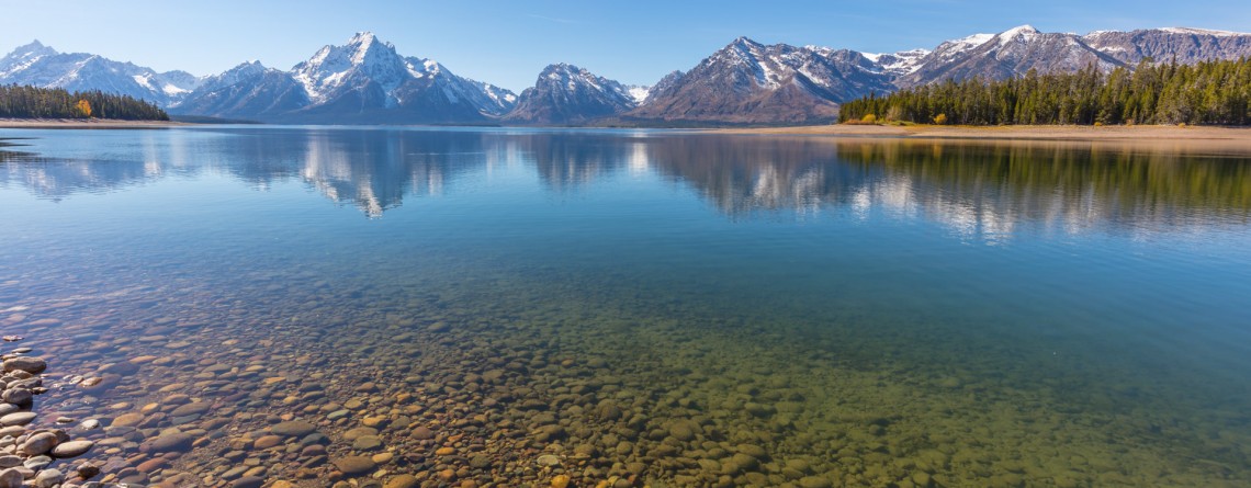
    Location: Grand Teton National Park, Wyoming Length: 3 miles Difficulty: Easy Elevation gain: 300 feet GPS coordinates: N 43 54.031   W 110 38.533   Grand Teton National Park is special among all US national parks. Most of its rivers and lakes got their names as a result of expeditions in 1872. It is also the only national park of all, where there is an airport. The numerous lakes of the park attract a great diversity of waterfowl, and the height and beauty of its [...]

Christian Pond Loop 17

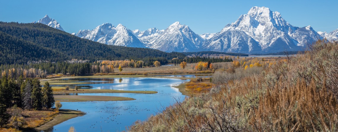
Amazing autumn scenery of Christian Pond Loop

  Location: Grand Teton National Park, Wyoming Length: 3,3 miles Difficulty: Easy Elevation gain: 400 feet GPS coordinates: N 43 52.691   W 110 34.363 Grand Teton National Park - a speck of untouched pristine nature just south of Yellowstone National Park, in northwest Wyoming. The park is well-known and beloved by tourists for its fascinating views of the mountains, shimmering of pure alpine lakes and abundant wildlife. Its highest peak, Grand Teton, rises up to almost 14,000 feet a.s.l. and the park spreads over [...]

The Watchman Trail 6

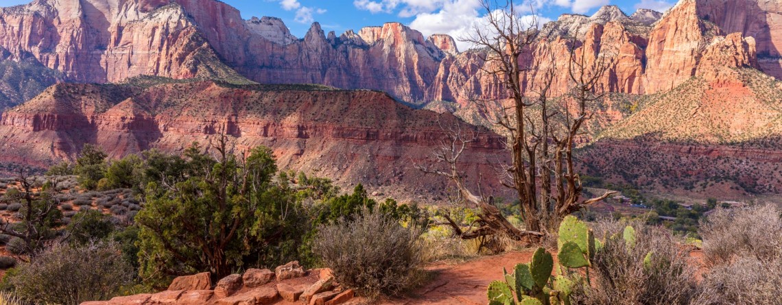
Unforgettable Views of the Watchman Trail

Location: Zion National Park, Utah Length: 3 miles (with the loop at the end of the trail) Ascent: 300 feet Difficulty: Easy GPS Coordinates:  N 37 12.083   W 112 59.186   The start of this 3-mile long trail can be found near the Visitor’s Center, you just need to cross the Route 9 to find yourself at its trailhead. It is interesting that regardless of its proximity to Park’s South Entrance, this trail is missed by lots of visitors, who prefer more popular routes like [...]

Twenty Mule Team Canyon Road 24

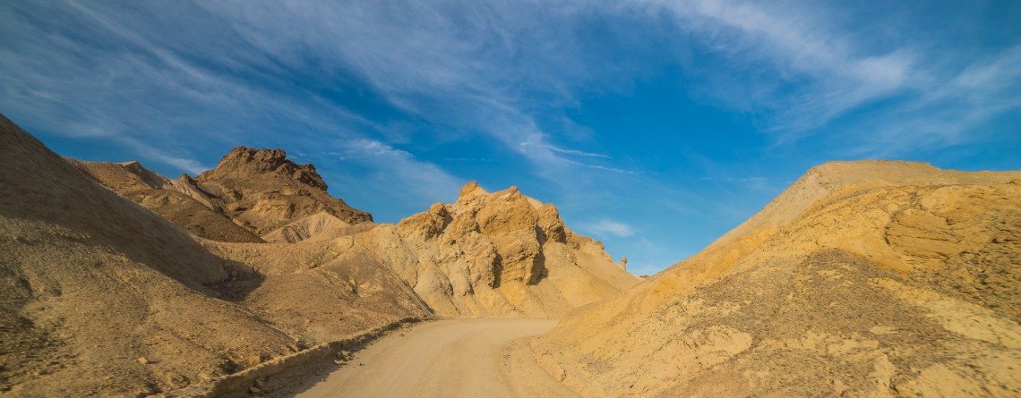
Scenic Drive along 20 Mule Team Canyon Road

  Location: Death Valley National Park, CA Length: 2,8 miles GPS Coordinates: N 36 24.570  W 116 47.680 Contact Information: Death Valley National Park P.O. Box 579 Death Valley, CA 92328   One of the best-known “historic symbols” of Death Valley is the Twenty Mule Teams. Such “teams” were comprised of 18 mules and 2 horses, pulling huge wagons filled with borax, bringing it from mines located in Furnace Creek area to the railhead which was at that time near Mojave. That was an exhausting trip which lasted for 10 days, [...]

Story in Stone Trail 24

Story in Stone Trail

  Location: Sheep Rock Unit, John Day Fossil Beds National Monument, Oregon Roundtrip: 1/3 mile Difficulty: Easy Elevation Gain: 40 feet GPS Coordinates: N 44 39.126   W 119 38.407 Visitor’s Information Open: all year round No Pass Required   Foree Area is the northernmost section of Sheep Rock Unit, separated by some private lands from the main part of the Unit. The main tourist features of this area, except for the magnificent scenery of course, is a modest picnic area and two hiking trails – the Flood of Fire Trail and the Story in Stone Trail. Sharing [...]

Flood of Fire Trail 18

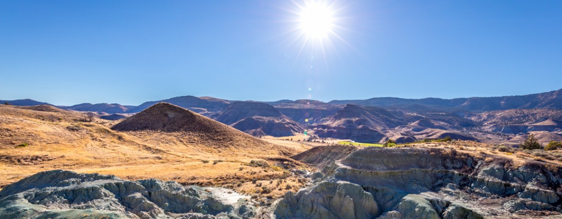
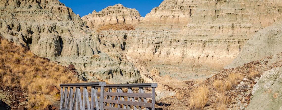
The beauty of Foree Area from the Flood of Fire Trail

    Location: Sheep Rock Unit, John Day Fossil Beds National Monument, Oregon Roundtrip: 0,4 mile Difficulty: Easy Elevation Gain: 50 feet GPS Coordinates: N 44 39.147   W 119 38.434 Visitor’s Information Open: all year round No Pass Required   Foree area is a part of the Sheep Rock Unit, but is located at some distance northwards from the rest of the Unit. You need to drive a little bit more than 7 miles north on Highway 19 from the Paleontology Center until you reach the right turn with the sign indicating the Picnic Area. [...]

Island in Time Trail 41

Island in Time Trail – a harkback to the past

  Location: Sheep Rock Unit, John Day Fossil Beds National Monument, Oregon Roundtrip: 1,3 mile Difficulty: Easy Elevation Gain: 220 feet GPS Coordinates: N 44 35.730 W 119 37.856 Visitor’s Information Open: all year round No Pass Required   Blue Basin is an incredible and unparalleled area of John Day Fossil Beds National Monument. At first glance you see only the beauty and unicity of landscape, the enchantment of the colors, but when you look deeper, you understand the whole historical importance of this place. Its paleontological significance cannot be overestimated. Starting from 1860s, when Thomas [...]

Blue Basin Overlook Trail 8

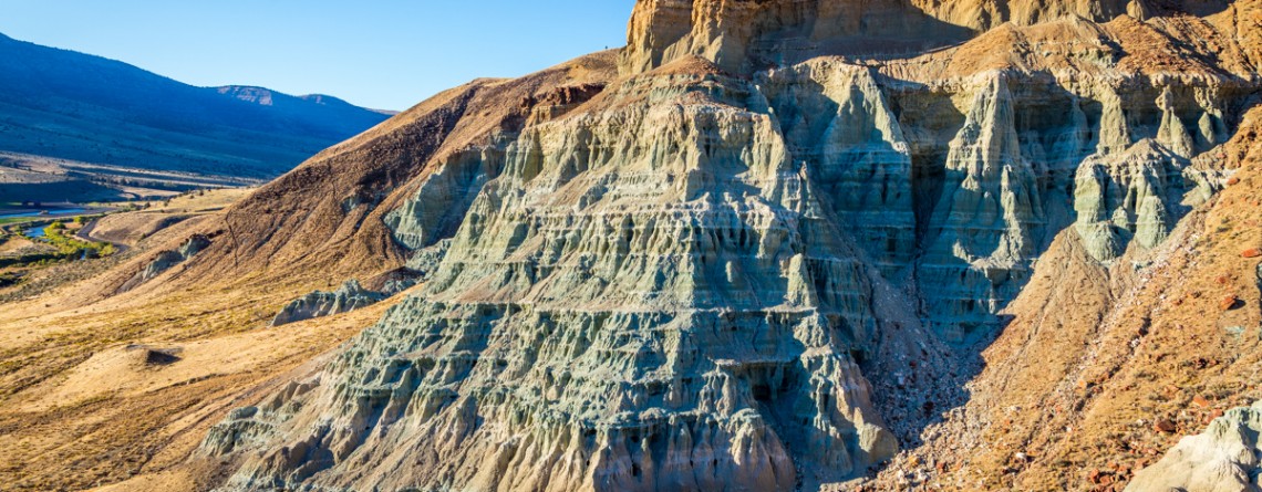
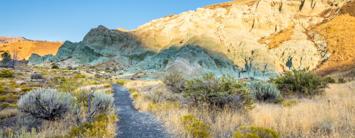
Blue Basin Overlook Trail of the Sheep Rock Unit

    Location: Sheep Rock Unit, John Day Fossil Beds National Monument, Oregon Roundtrip: 3,25 miles loop-trail Difficulty: Moderate Elevation Gain: 760 feet GPS Coordinates: N 44 35.730 W 119 37.856 Visitor’s Information Open: all year round No Pass Required   John Day Fossil Beds National Monument in Oregon can become a decoration of any journey. It's like a trip in a time machine to the distant past of the planet. And if you have interest in paleontology, it is definitely worth a look, although this national monument is located away from the beaten tourist trails, [...]

River Trail 42

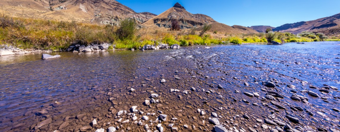
Cant Ranch and a peacefully beautiful River Trail

  Location: Sheep Rock Unit, John Day Fossil Beds National Monument, Oregon Roundtrip: 0,6 miles Difficulty: Easy Elevation Gain: None GPS Coordinates: N 44 33.334   W 119 38.677 Visitor’s Information Open: all year round No Pass Required   Cant Ranch is the second “must-visit” place on your trip around the Sheep Rock Unit after Paleontology Center. It can be easily found as it is situated just across the street from the Center. The former house of Scottish immigrants - James Cant and his wife Elizabeth, which was built in 1917, serves now as a historical [...]

Thomas Condon Overlook Trail 19

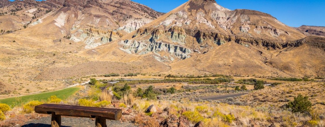
The beauty of John Day River valley as seen from Thomas Condon Overlook Trail

  Location: Sheep Rock Unit, John Day Fossil Beds National Monument, Oregon Roundtrip: 0,25 miles Difficulty: Easy Elevation Gain: 40 feet GPS Coordinates: N 44 33.101   W 119 38.759 Visitor’s Information Open: all year round No Pass Required   If you chose John Day Fossil Beds (JDFB) National Monument as your next trip destination, you may plan the exploration of this unique source of geologic history study starting from any of 3 units, it is made-up of (Clarno Unit, Painted Hills Unit, Sheep Rock Unit). But to our opinion the best way to start [...]