An amazing diversity of woodland shown by the Hatton Trail


Location: Jedediah Smith Redwoods State Park, California
Length: 4,3 miles
Difficulty: Moderate
Elevation gain: 360 feet
GPS coordinates: N 41 48.692 W124 06.388
The Hatton Trail is one of the well-favoured routes giving a chance to explore Jedediah Smith Redwoods State Park. Moreover, this is three-in-one trail described here, as it combines the Hatton Loop, the Hatton Trail itself and a short spur-trail to Lohse Grove.
The trail is located on the southern side of Highway 199, and can be accessed from two flanks: you may start your hike from the western end of the Hiouchi bridge over the Smith River; or you may start from the trailhead situated a little bit further along the highway, over against the Walker Road. The second option is the usual one chosen by the tourists.
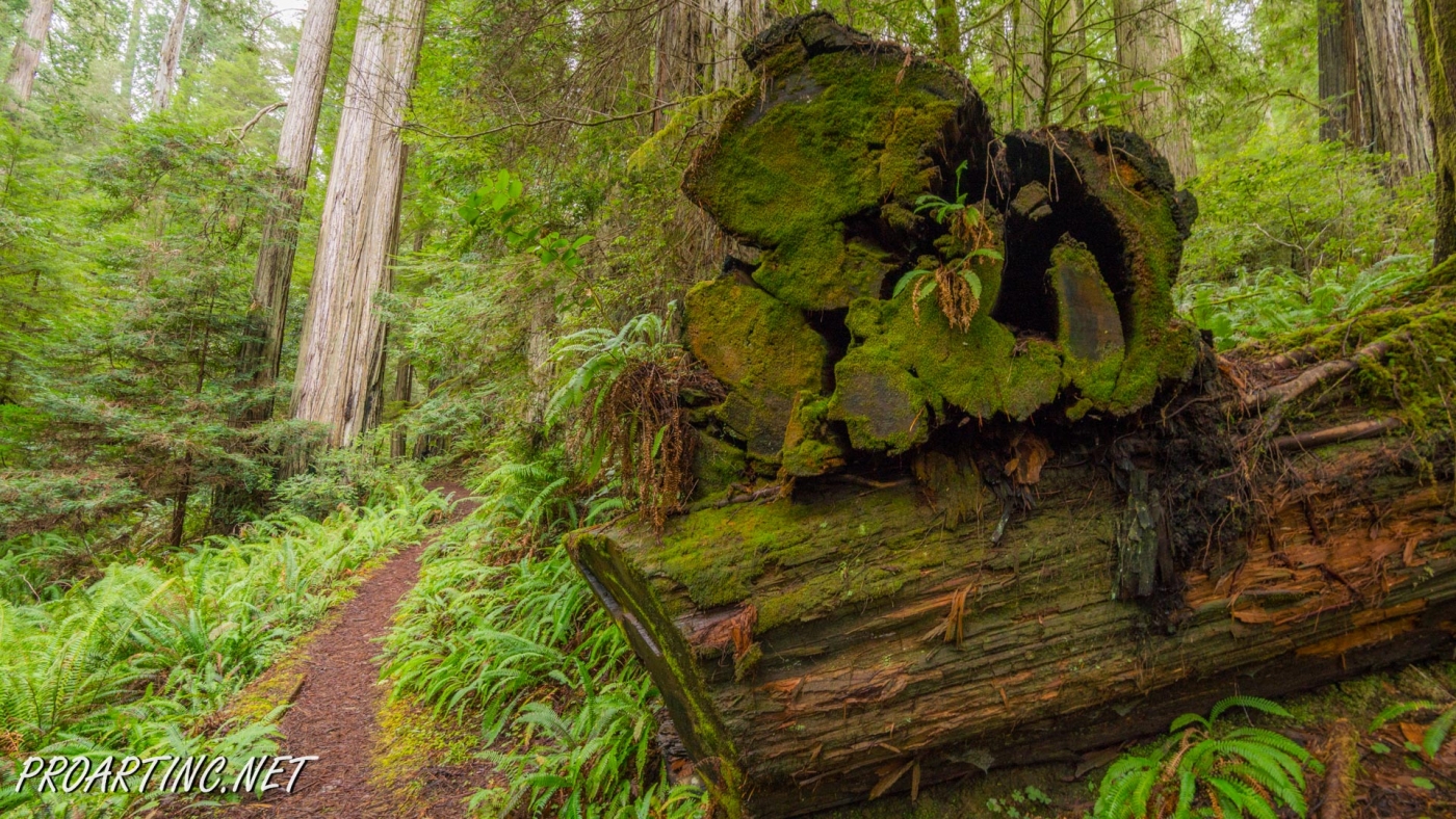
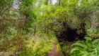
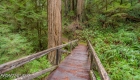
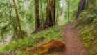
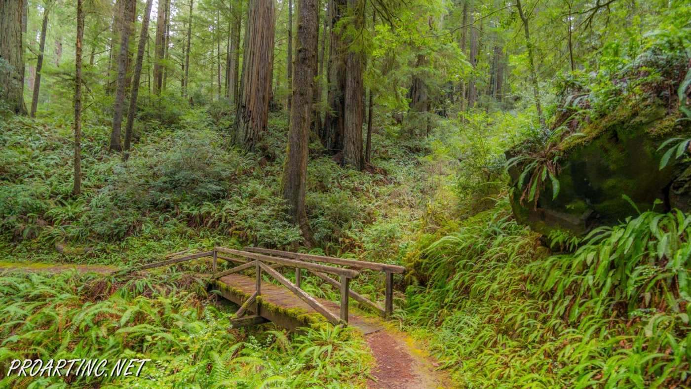
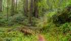
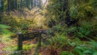
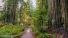
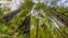
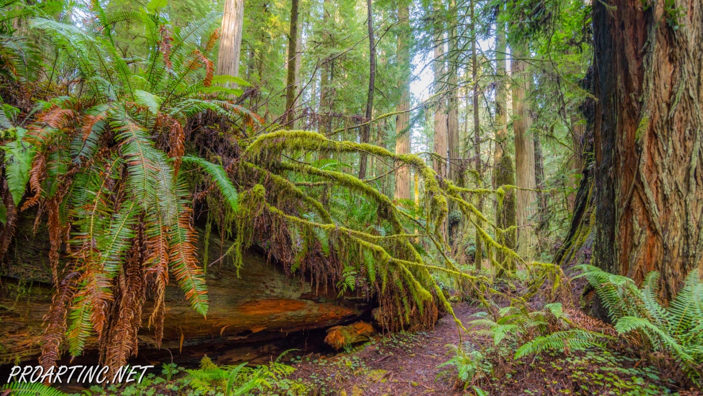
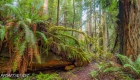
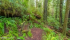
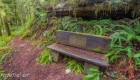
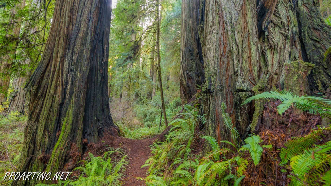
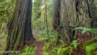
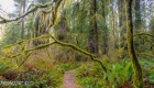
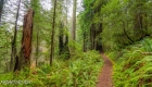
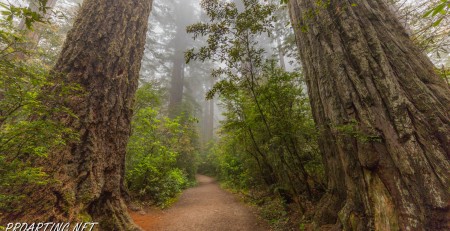
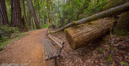
The Hatton Trail’s beginning runs through a redwood grove, which also reminds the hikers a rainforest with most of the trees (except for redwoods) covered by moss. Very soon you will see a trail-fork, and if you take the right fork you will find yourself on the Hatton Loop, a o,3 mile trail which is much more often visited then the main Hatton Trail. The loop travels through a dense forest ascending a very small hill thus providing some fancy views of the beautiful redwood trees. Then you will see a very short spur-trail, leading to a small redwood grove, and the Hatton Loop will turn back, descending the hill, to the main Hatton Trail.
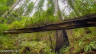
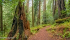
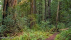
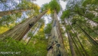
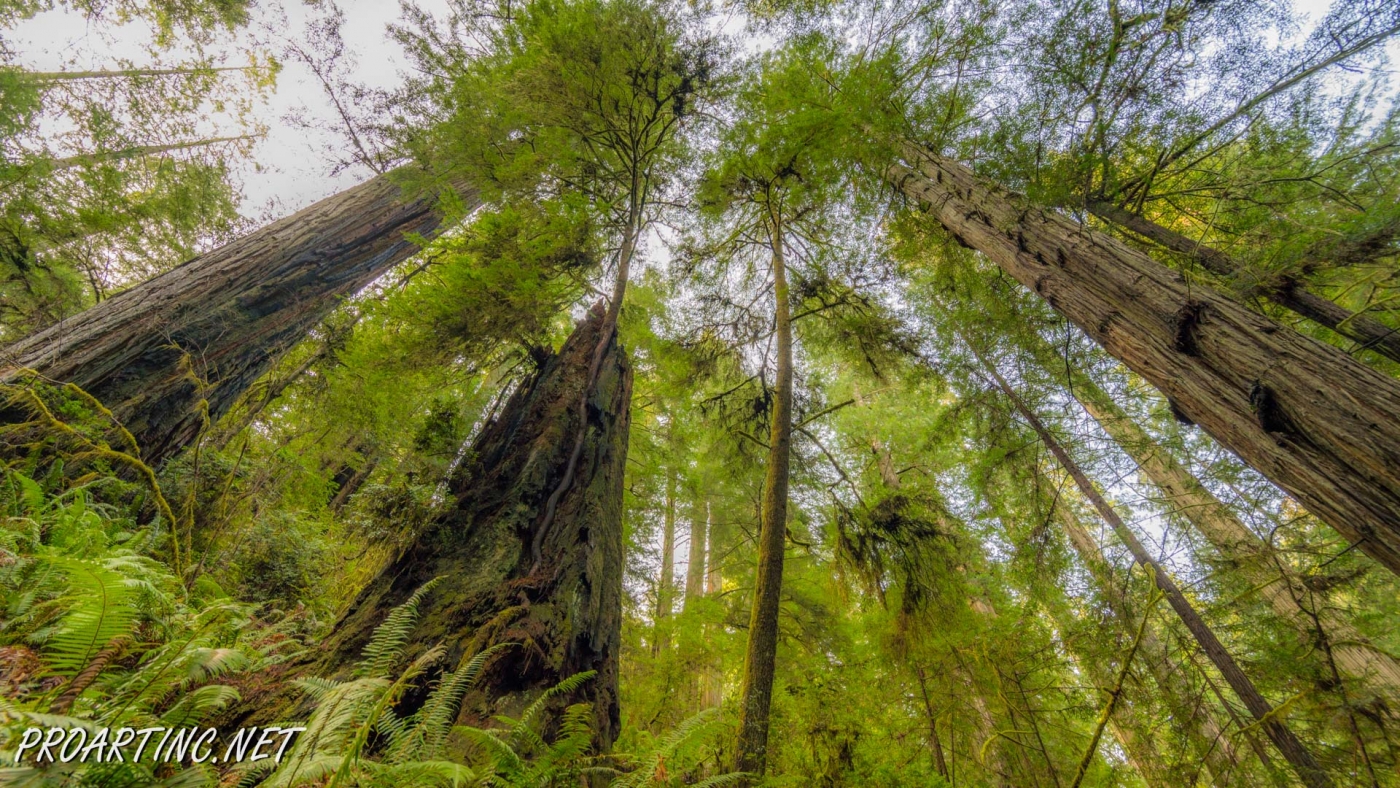
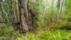
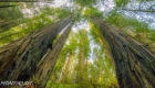
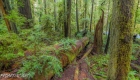
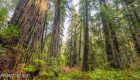
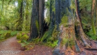
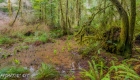
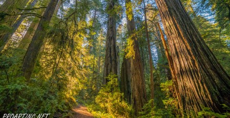
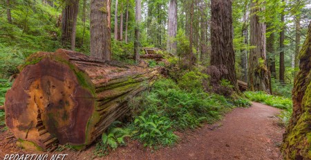
Resuming your hike along the major part of the Hatton Trail you will be amazed by giant sequoias, growing along it, seeming to guard the peace of tourists coming to the park. What also usually strikes the visitors is the number of trees damaged by fire, scattered at the initial part of this trail. These are the implications of an enormous lightning strike, which happened several years ago and resulted in a fire.
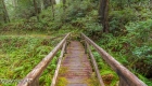
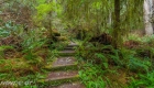
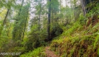
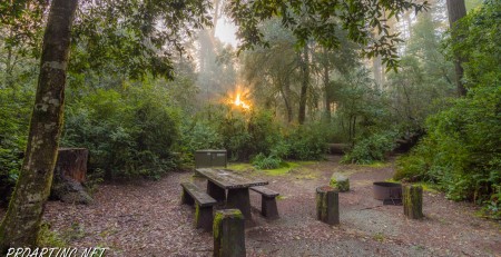
Then the trail starts climbing a large hill located near the Hwy 199, winding around several ravines and crossing the wooden bridges across the creek (four in total). But the higher it goes, the smaller and thinner become redwoods, with the understorey not as lush as it was near the trailhead. Reaching the top of the hill the trail comes so close to the highway, that you may not only hear the cars passing it, but actually see some.
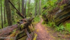
Soon you will notice another trail junction, with the right fork of it known as Lohse Grove Trail. This is a short 0,4 mile-long spur-trail, which takes the hikers away from the highway, providing some isolation and solitude. But mind that this trail is very rarely used and that is why quite overgrown with some fallen trees blocking the way.
It will take you only 0,3 miles after the junction with the Lohse Grove Trail to reach the last T-junction with one more very popular trail – the Hiouchi Trail. You may continue your hike along it, then changing to Mill Creek Trail, enjoying the scenic river views during your stroll. Or just go back to the trailhead from where your trip has started.
Photo: Roman Khomlyak
Photo Editing: Juliana Voitsikhovska
Information: Svetlana Baranova
Pictures taken: 02/12/17


Leave a Reply
You must be logged in to post a comment.