Tag - rocks

Cannon beach Trail 9

CANNON BEACH TRAIL

Location: Ecola State Park, Oregon Length: 2,8 miles Difficulty: Moderate GPS coordinates: N  45 55.874  W 123 58.570 Visitor’s Information: Dogs are permitted on a leash Take your time and experience the most stunning views of the ocean and feel yourself relaxed! Cannon Beach trail is an amazing 2.8 mile dog friendly out and back trail which is very popular among tourists because of Haystack Rock and The Needles. It’s an awesome destination to bring a picnic and take in the breathtaking views of the [...]

Summit Trail 11

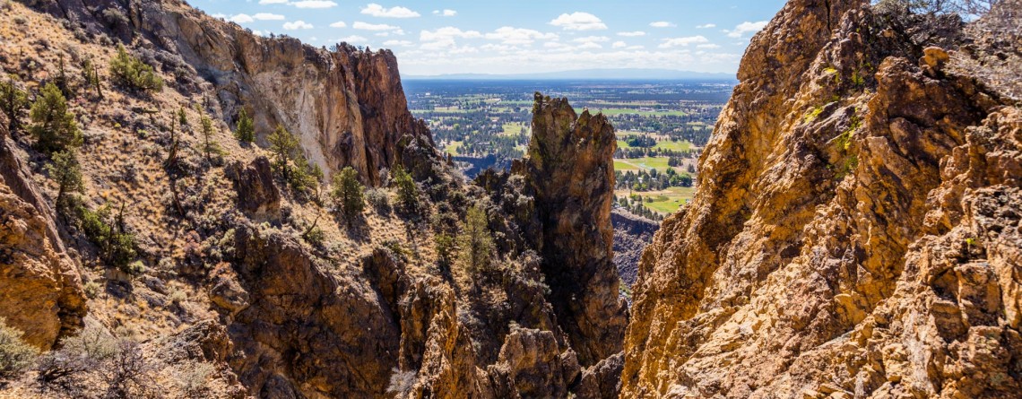
Summit Trail at Smith Rock State Park – unforgettable views

Address: Terrebonne, OR 97760, United States Phone number: 541-548-7501 Length: 2 miles GPS Coordinates: N 44 21.952 W 121 08.233 The Summit Trail is the youngest trail in the park, which was opened in 2013. It is actually a connecting trail and is usually hiked as a part of Summit Trail Loop which starts at the parks’ Welcome Center and runs for approximately 7, 5 miles throughout the Smith Rock State Park, and includes Canyon Trail, River Trail, Summit Trail, Burma Road Trail and Wolf [...]

Skull Hollow Campground 9

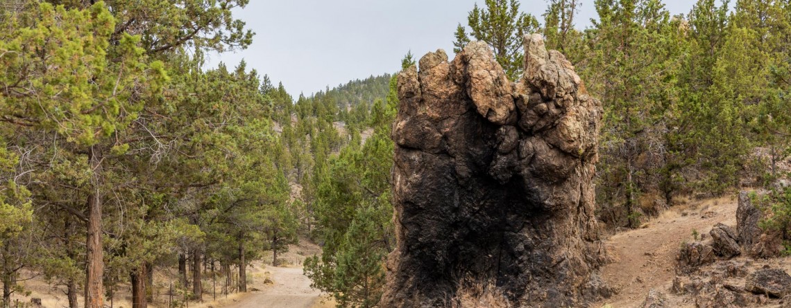
Skull Hollow Campground at Smith Rock State Park, Oregon

Address: Terrebonne, OR 97760, United States Phone number: 541-548-7501 Acreage: 651.68 Day-use: Fee Annual Pass: 24 month pass $5, $30, $50 GPS Coordinates: N 44 21.952 W 121 08.233 Information Center: Crooked River National Grassland, 274 SW 4th Street, Madras, OR Rock Smith State Park is a unique place with unbelievable landscape visited by hundreds of thousands people annually. It is the real Paradise for the climbers offering f couple of thousands of routs for climbing with various levels of difficulty. The only thing this wonderful park is missing is [...]

Mesa Verde Trail 15

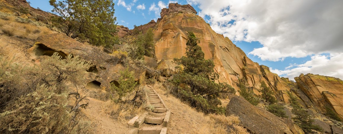
Mesa Verde Trail at Smith Rock State Park

Location: Smith Rock State Park Length: 0.65 miles GPS Coordinates: N 44 21.952 W 121 08.233 Mesa Verde Trail is a very short, only 0.65-mile trail that connects to other more beautiful and popular trails. Though the trail is short and is used as a connecting trail, it provides several good views: nice views of Monkey Face and the surrounding. While hiking along this trail I was amazed by the numerous yellow rock, gorgeous views and fabulously beautiful sky. By the way, the [...]

Burma Road Trail 19

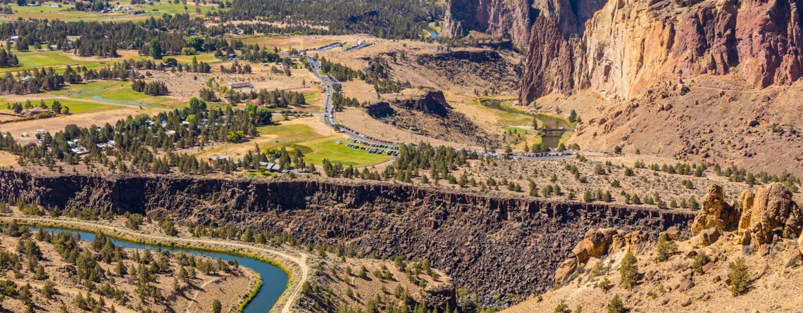
Burma Road Trail: The View From Above

Location: Smith Rock State Park Length: 6.5 miles GPS Coordinates: N 44 21.952 W 121 08.233 Smith Rock State Park is a very popular destination in Oregon both among hikers and rock climbers. A well-developed trail system and numerous rocks for climbing attract thousands of tourists. Burma Road Trail is a breathtaking 6.5-mile hike that takes you to the top. The trail is fabulous because hikers see and explore the difference between the unique ecosystem near the river, at the bottom and at [...]