50 Million Years’ History of the Geologic Time Trail


| Location: | Clarno Unit, John Day Fossil Beds National Monument, Oregon |
| Round Trip: | 0,5 miles |
| Difficulty: | Easy |
| Elevation Gain: | None |
| GPS Coordinates: | N 44 54.794 W 120 24.562 |
| Visitor’s Information | Open: all year round
No Pass Required |
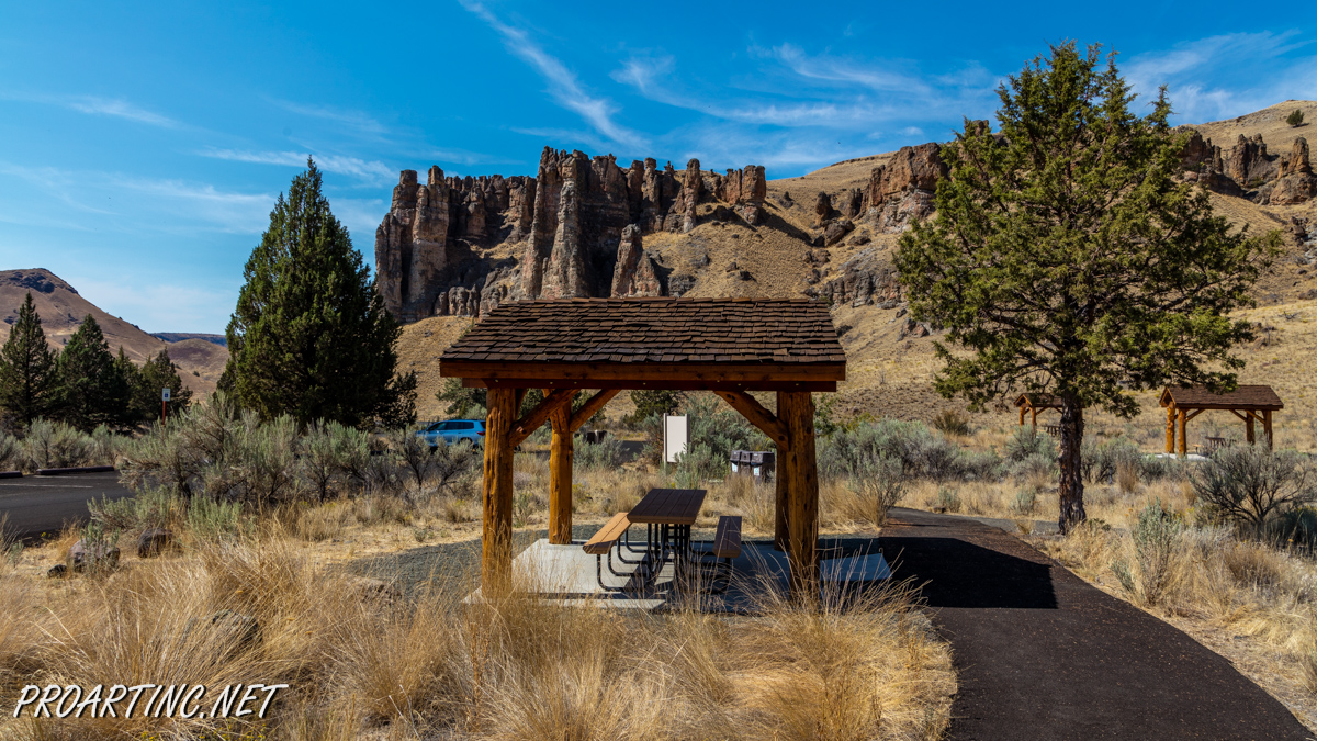
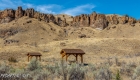
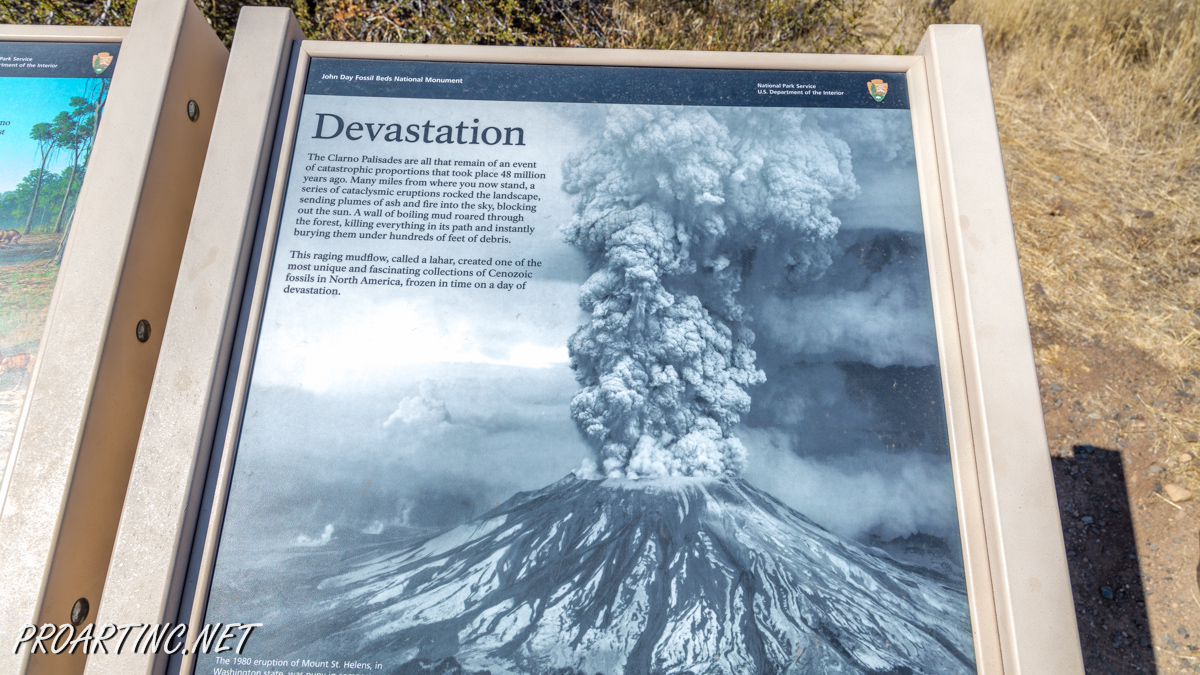
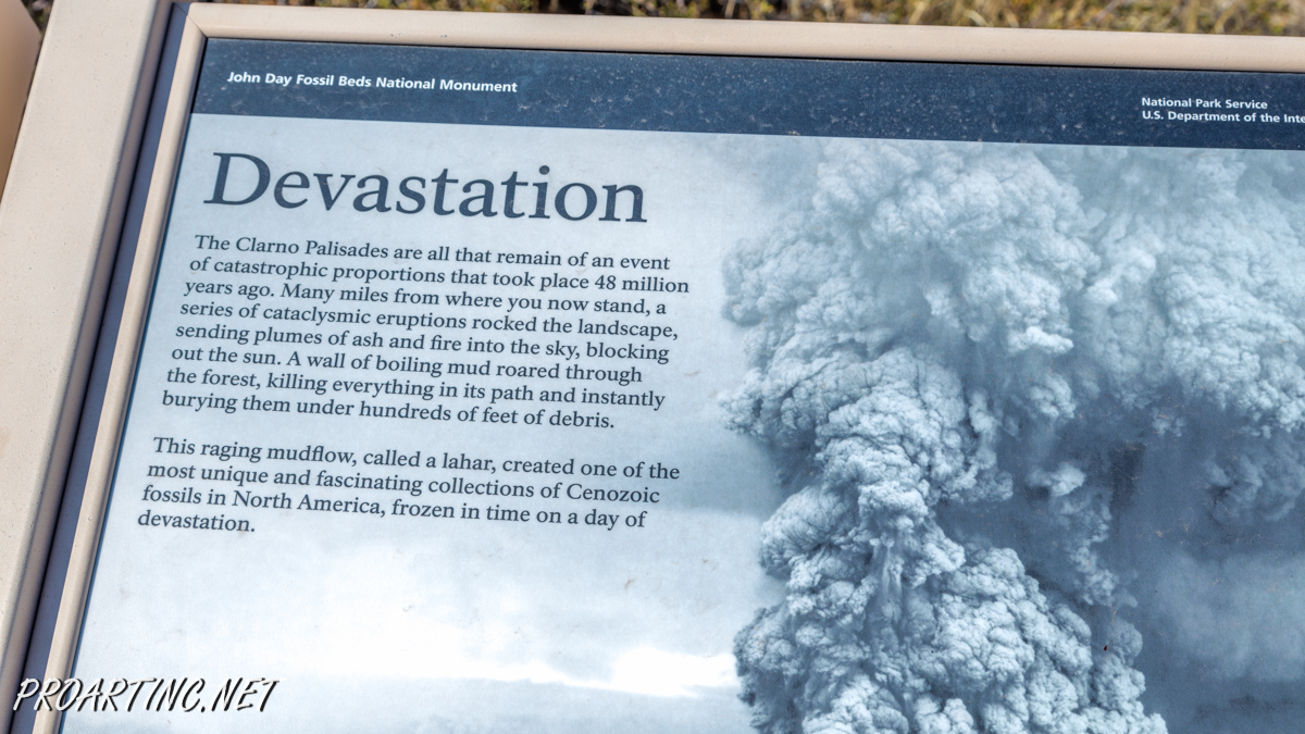
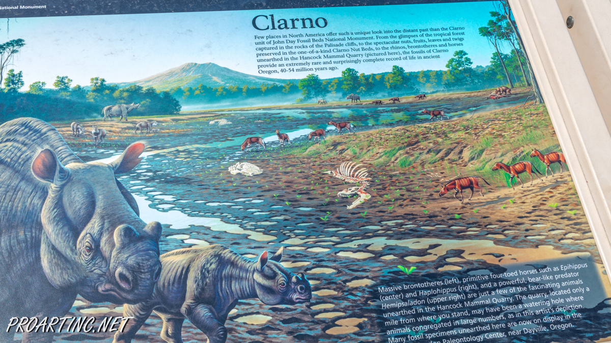
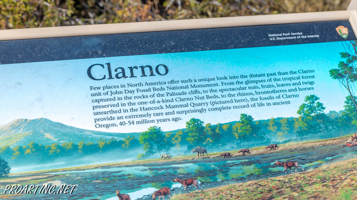
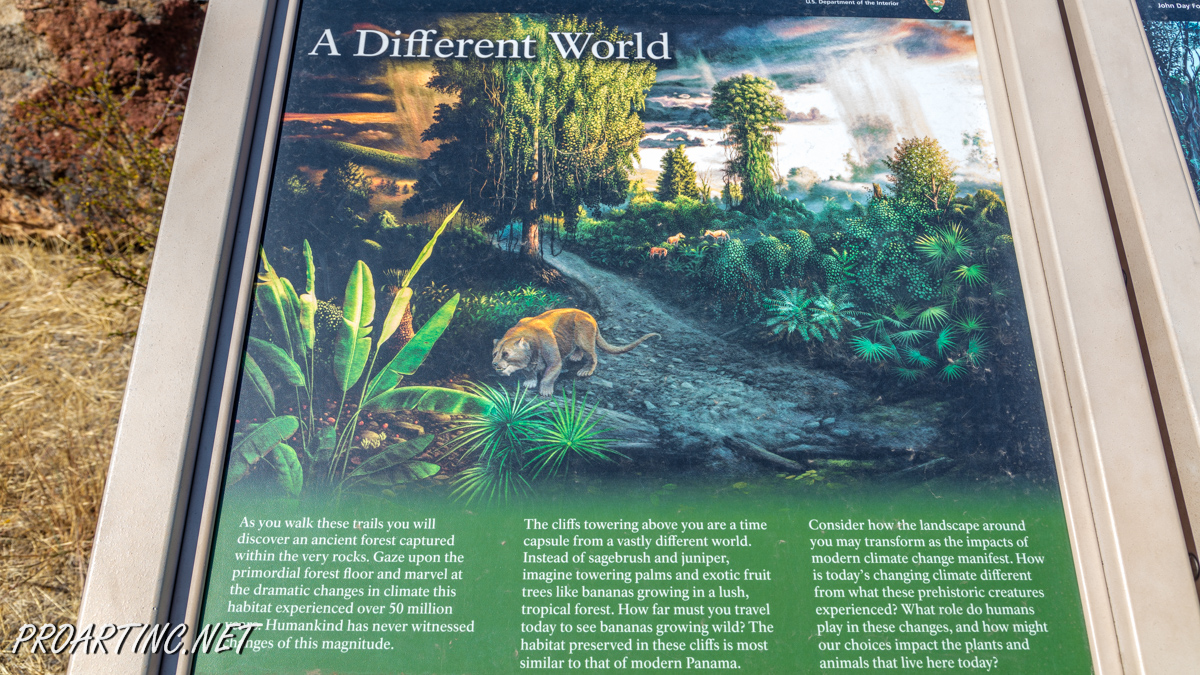
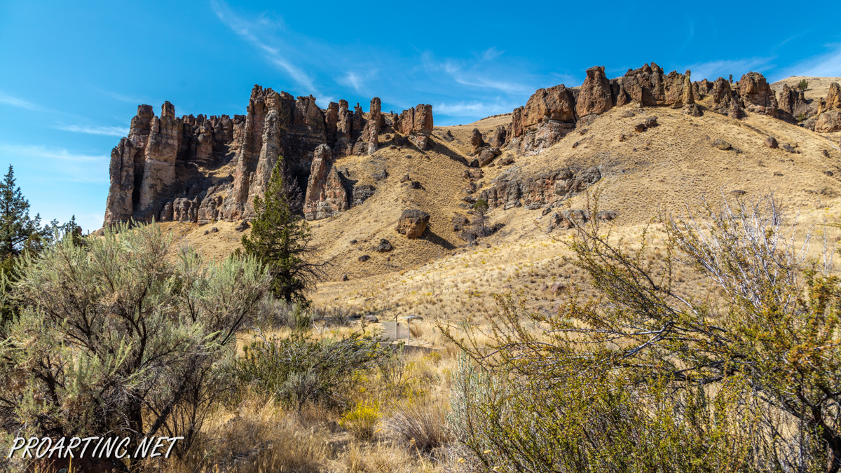
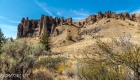
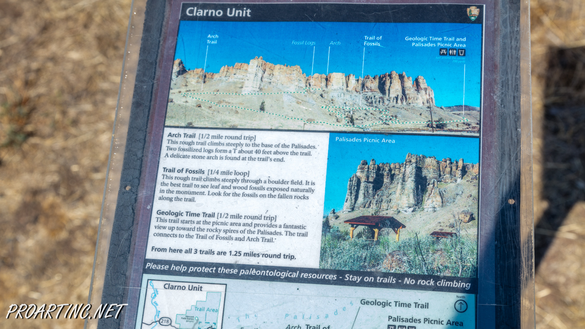
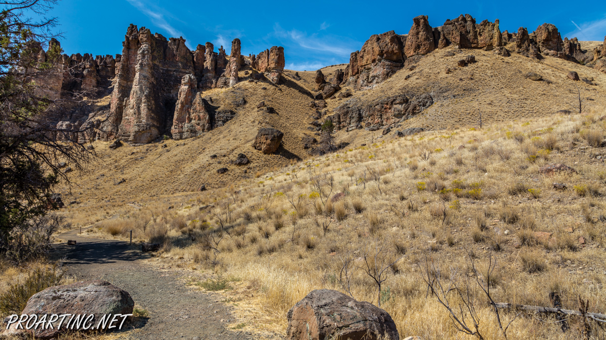
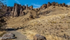
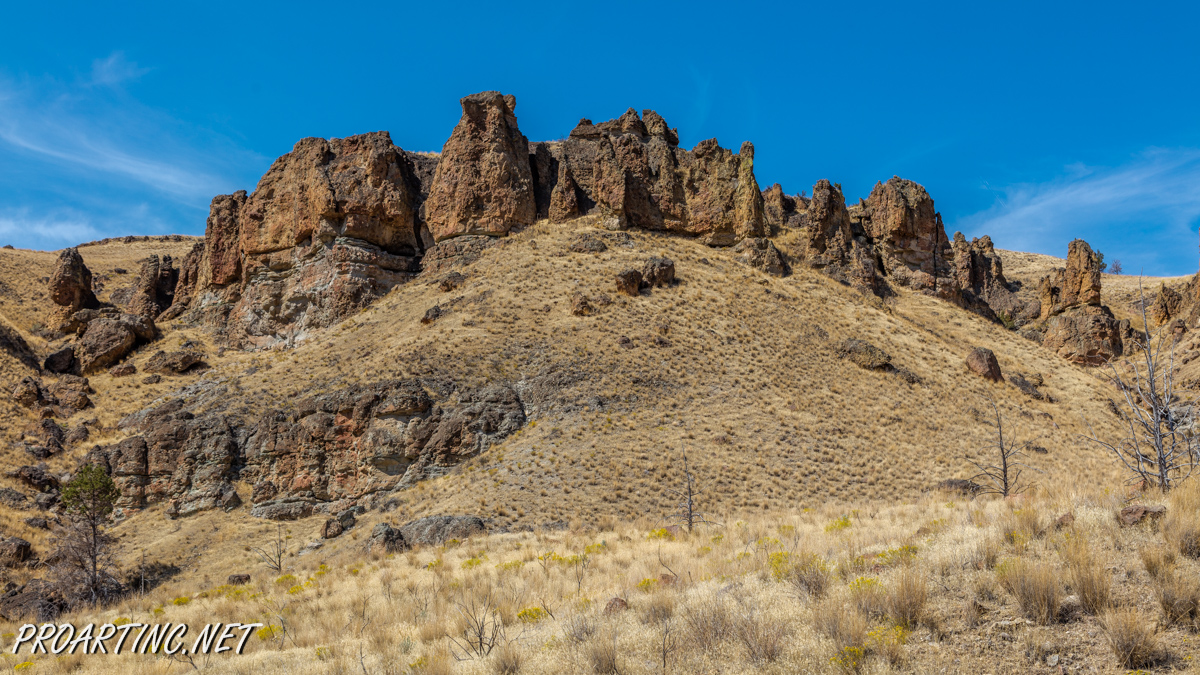
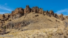
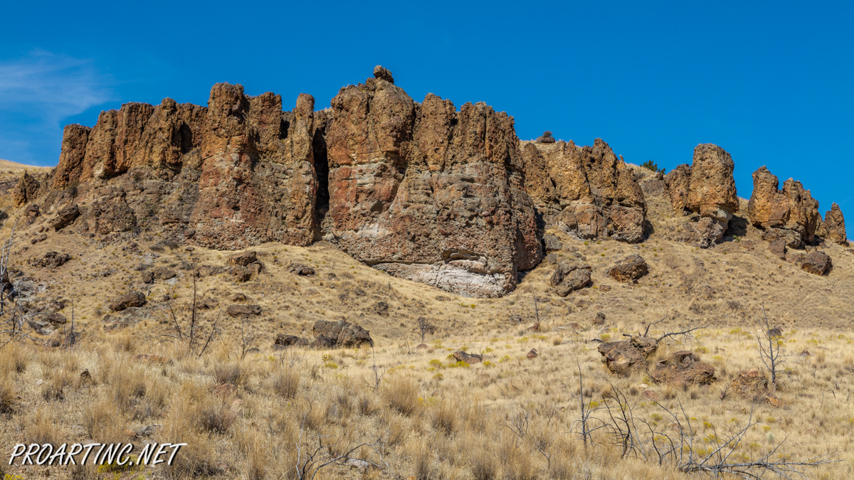
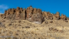
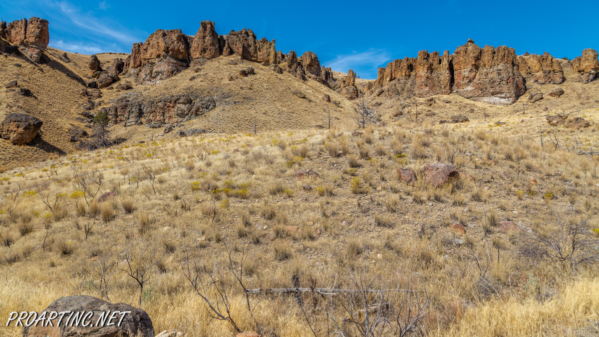
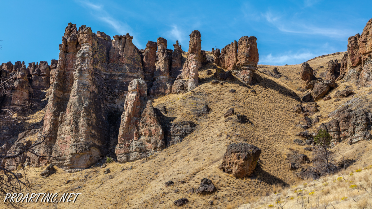
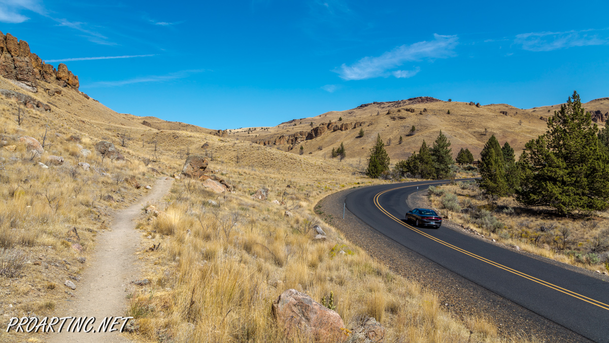
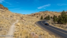
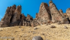
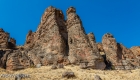
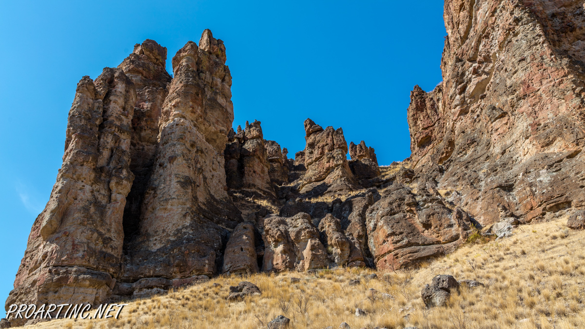
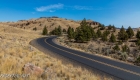
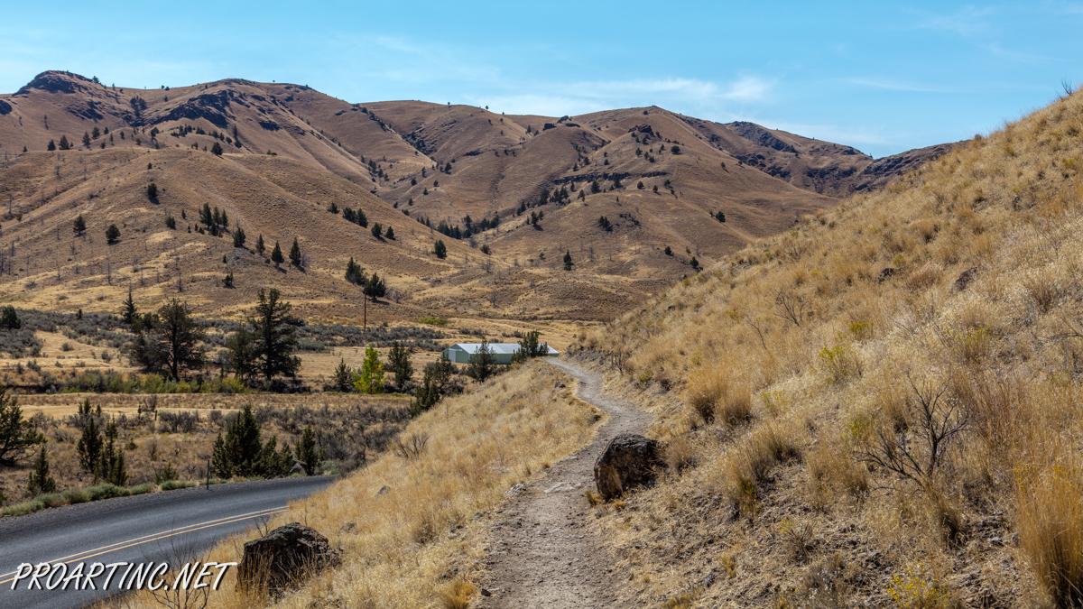
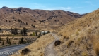
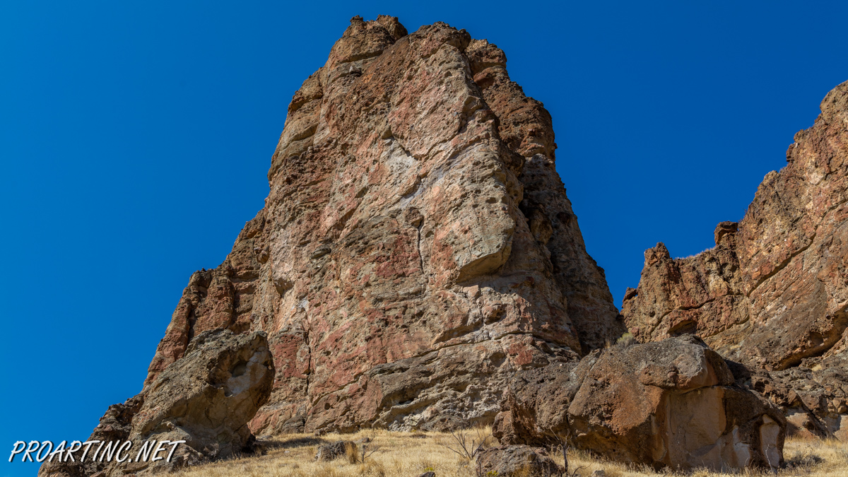
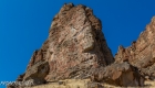
The Geologic Time Trail is one of three Clarno Unit’s trails, allowing the visitors fully enjoy the striking Palisades and investigate the spectacular, unique fossils, telling us the story of the distant past, when Clarno Unit was not an arid, desert area, but a tropical forest full of various flora and fauna representatives. This trail provides a fascinating view of the ancient, greatly eroded Palisades cliffs, which captured in their rocks outstanding remnants of the ancient times, represented by nuts, fruits, leaves and animal fossils embedded into the rocks, showing us an unbelievable record of the ancient life in Oregon almost half a hundred million years ago.
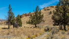
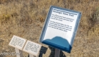
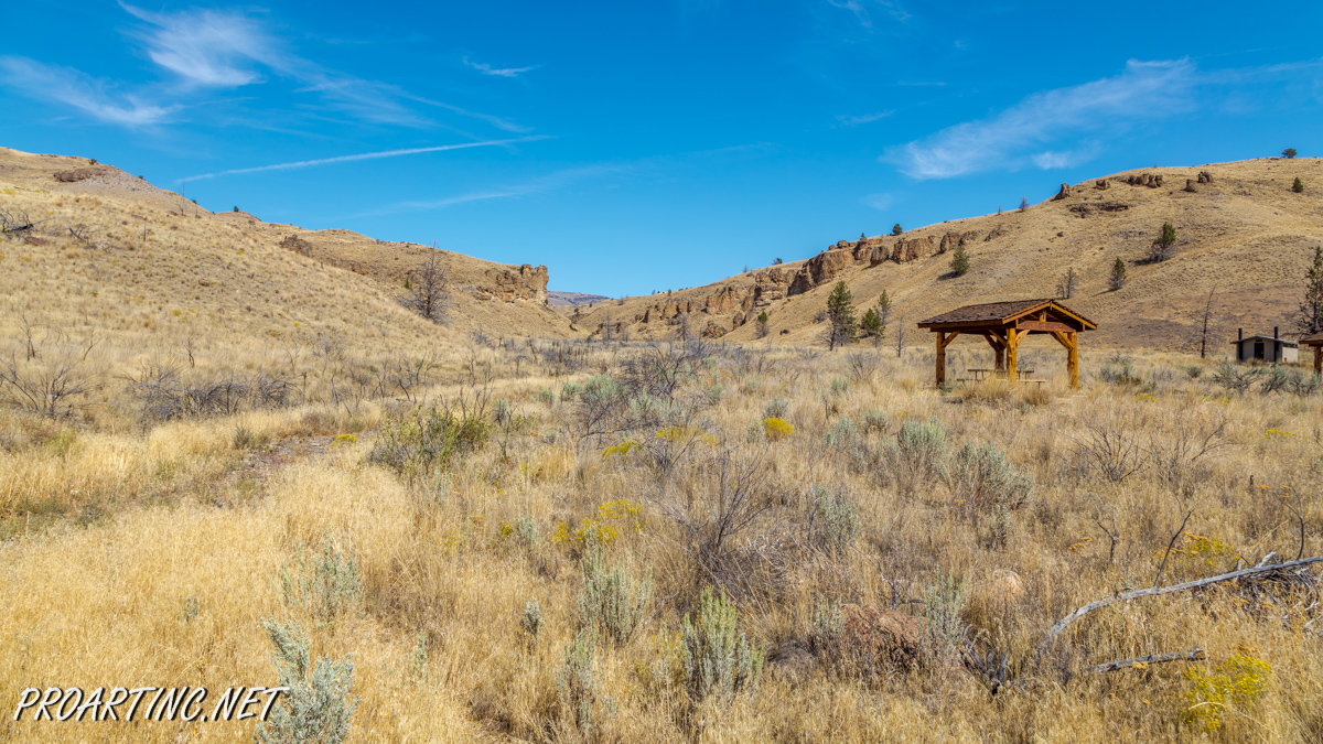
The Geologic Time Trail is a short trail, only 0,25 miles in length. It actually joins the Palisades picnic area and the trailhead. The trail itself was created as a timeline (that’s why it has such a name), representing various time periods within the last 50 million years. Every foot of it renders 37 thousand years. Along the trail the time period signs are placed, each describing a major event of the certain period of time.
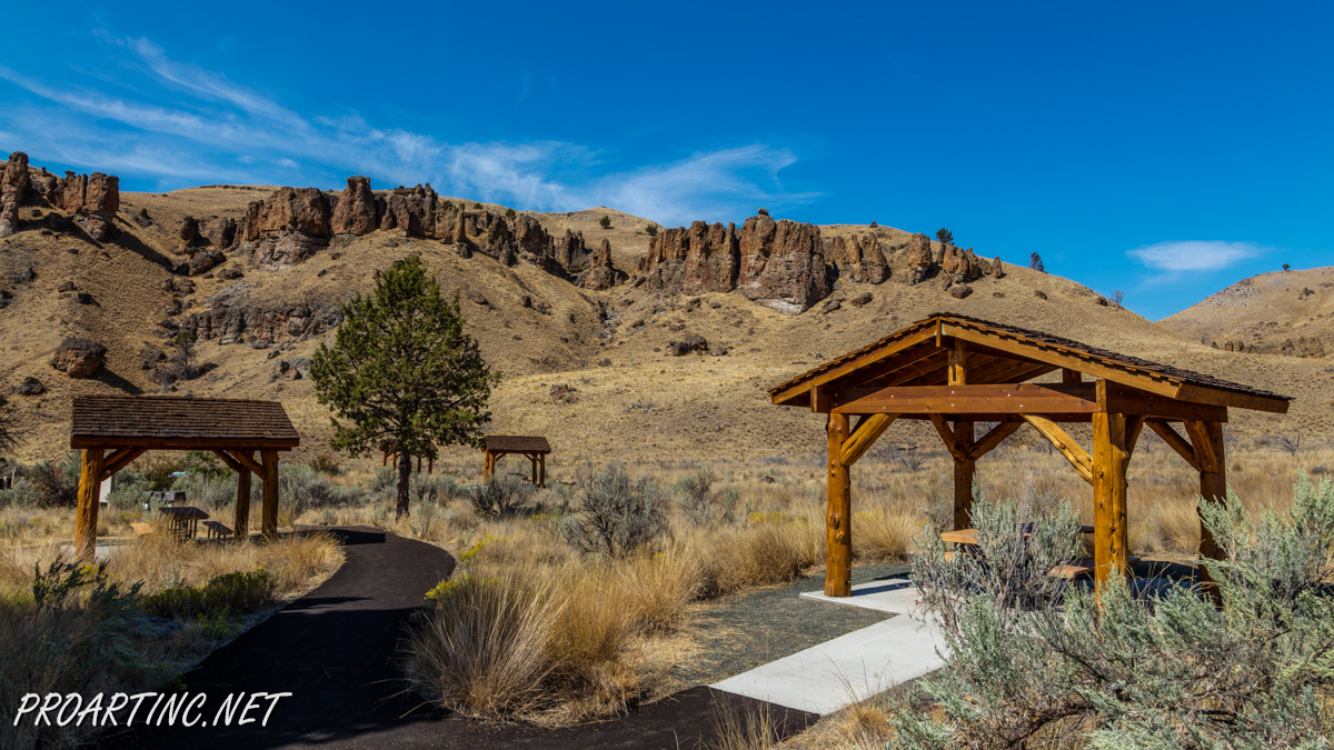
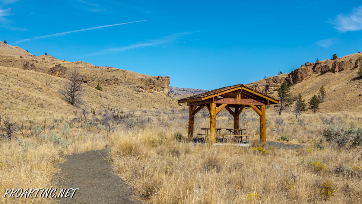
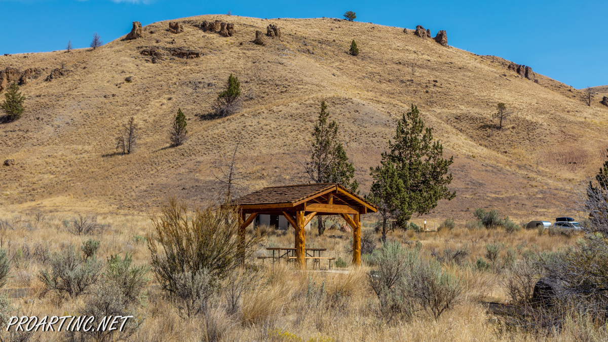
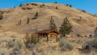
You may begin hiking the Geologic Time Trail from any side, but we recommend starting from the Palisades picnic area. It has a large parking lot, wooden picnic tables, which are shaded, so you can have some rest there from the burning sun, a water source and some interpreting signs telling the history of the area, explaining the change in the landscape and showing the map of the Clarno Unit with the trails and short information on them.
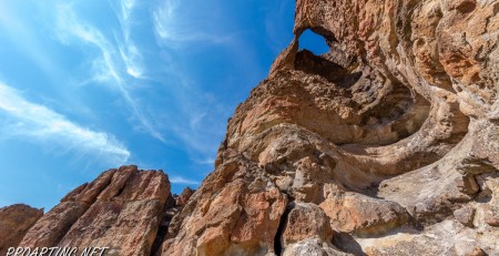
As it was already mentioned, from this part of the trail you will get the best view of the rugged Palisade cliffs. Walking westwards along the trail you will soon reach the place where it connects to another two trails: the Trail of Fossils and the Arch Trail. You may continue and make a loop following these trails, thus getting a possibility to admire all the natural features of the place, like magnificent plant and animal fossils embedded into huge boulders, which are scattered along the Trail of Fossils, as well as petrified logs of the Arch Trail and a spectacular natural arch created by erosion and time in the cliff at the end of the Arch Trail.
All these three trails will make for you approximately 1,25 miles hike (roundtrip) along the remarkable Palisades.
Directions:
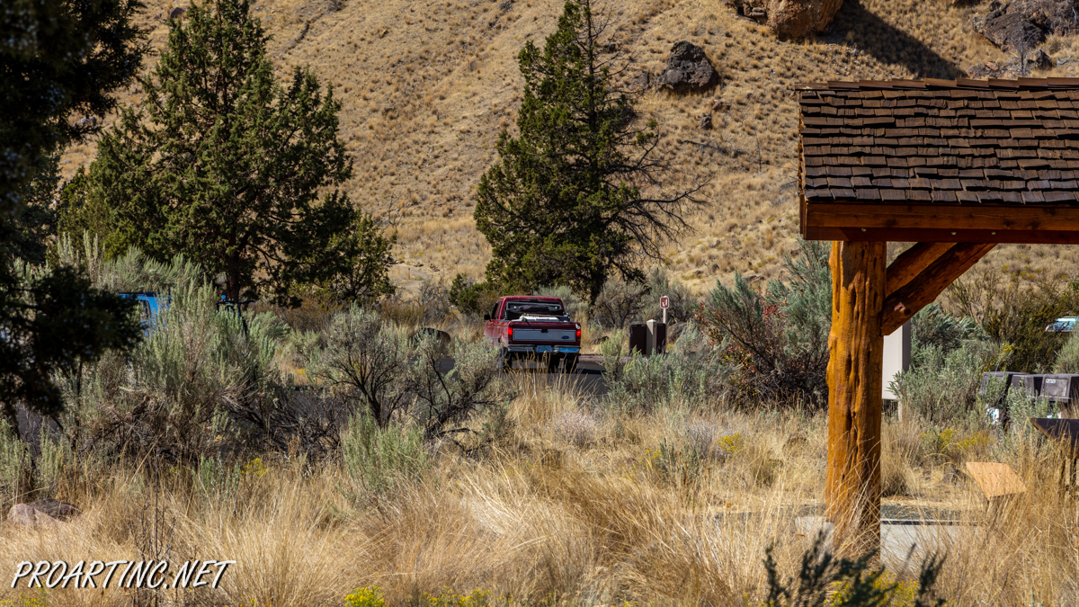
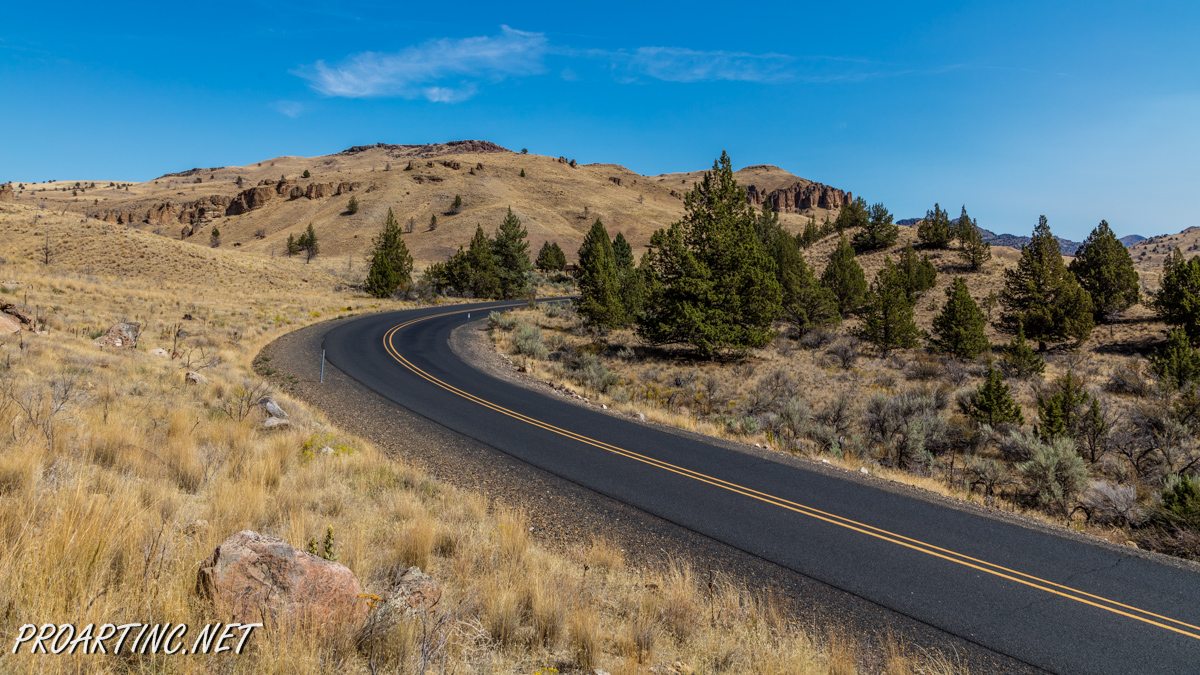
You may find the Palisades picnic area if you drive on Highway 218. It is located almost in the middle between towns of Antelope and Fossil (drive west approximately 18 miles from the town of Fossil).
Photo: Roman Khomlyak
Photo Editing: Juliana Voitsikhovska
Information: Svetlana Baranova


Leave a Reply
You must be logged in to post a comment.