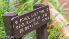
West Ridge and Prairie Creek Trail


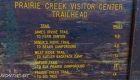


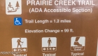


| Location: | Prairie Creek Redwoods State Park, California |
| Round Trip: | 5,8 miles loop |
| Difficulty: | Moderate |
| Elevation Gain: | 750 feet |
| GPS Coordinates: | N 41 21.828 W 124 01.374 |
| Visitor’s Information | Open: year-round, except when Drury Parkway is temporary closed because of heavy winter storms
Day-use fees are collected at campground entrance stations. |
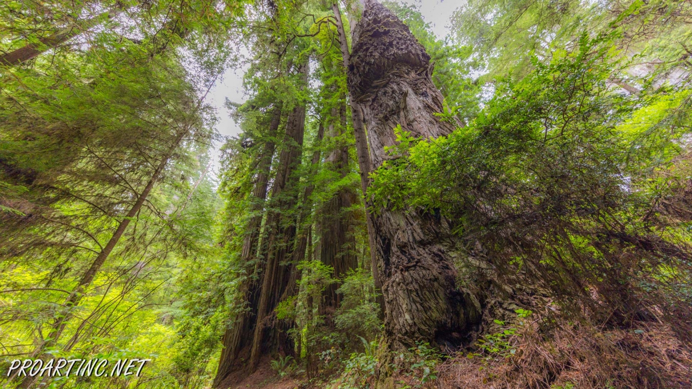
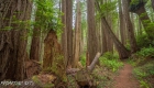
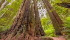
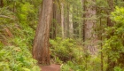
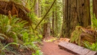
Prairie Creek Redwoods State Park is a fantastic sanctuary of 14,000 acres of redwood forests which owns the most scenic views among all the parks of Redwood National and State Parks system. It joins in itself two seemingly incompatible things: comprising magnificent pristine forests, which never knew the logging which had abolished almost 80% of redwoods worldwide, the Prairie Creek Redwoods State Park has the most developed trail network. It has about 75 miles of trails, popular among the hikers due to the diversity of scenery they offer.
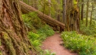
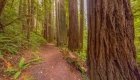
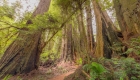
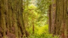
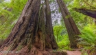
Two of the most popular trails of the Prairie Creek Redwoods State Park are the West Ridge Trail and the Prairie Creek Trail. The West Ridge Trail is the longest (seven miles) trail of the park, running north along the ridgeline through incredible dense groves of massive redwood trees. And the Prairie Creek Trail is a 4 mile trail, running most of the time along the Prairie Creek. It is reckoned to be the most scenic trail of Redwood National and State Parks, providing the hikers with the diverse views of huge splendid redwoods, riparian vegetation, and beautiful maple and alder trees.
But hiking along one of these trails may become boring after several miles, with the scenery not changing a lot during your hike along the trail. That’s why a great option is to hike one of the loops, combining parts of both of these trails. The one we are offering to you is a 5,8 mile loop with the Zig Zag #1 Trail connecting the West Ridge Trail and the Prairie Creek Trail, which will allow you admiring the difference between the two various environments of these trails.
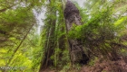
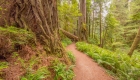
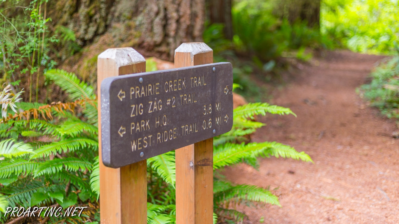
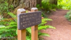
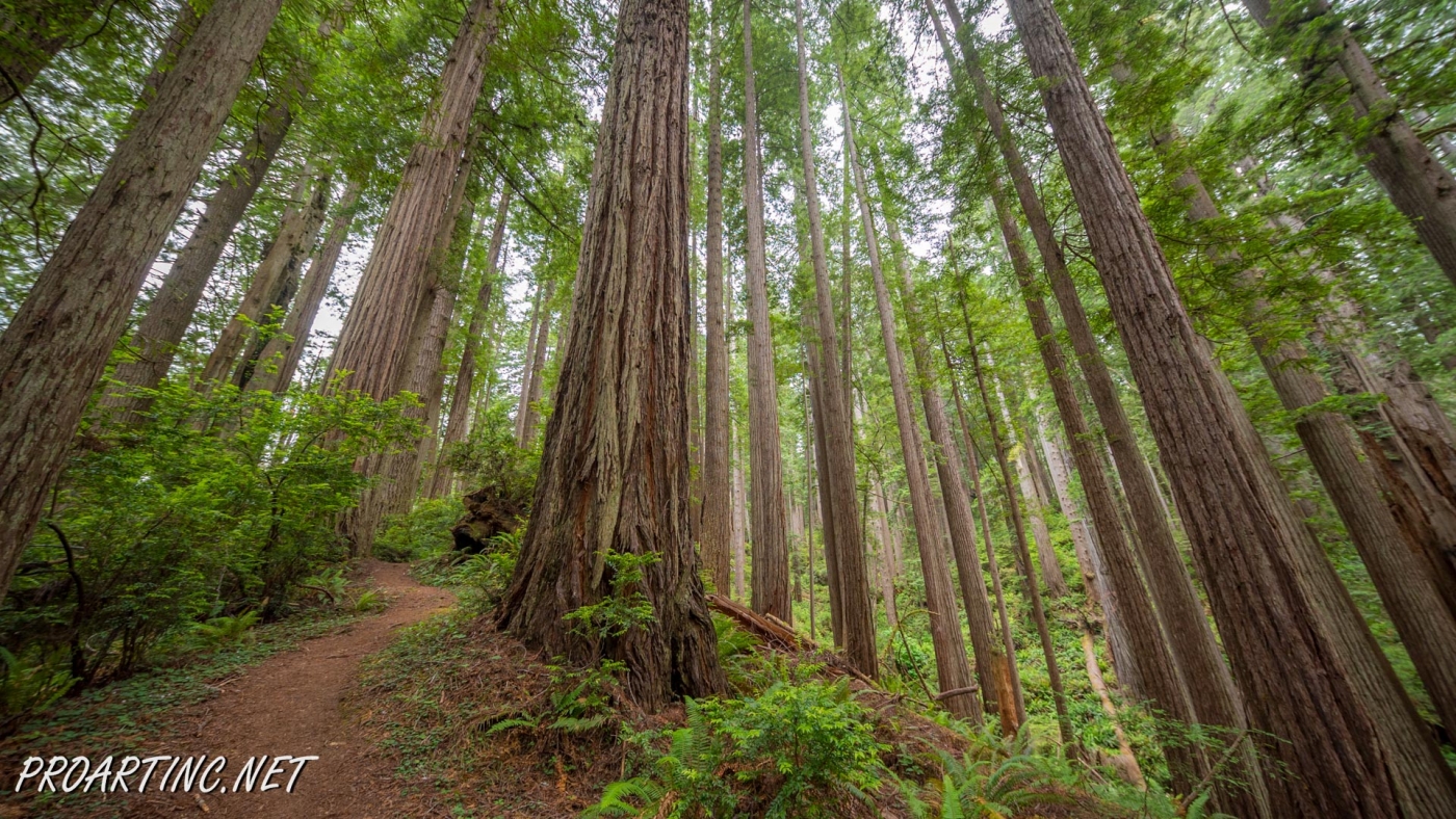
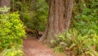
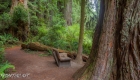
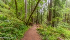
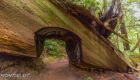
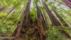
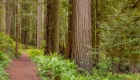
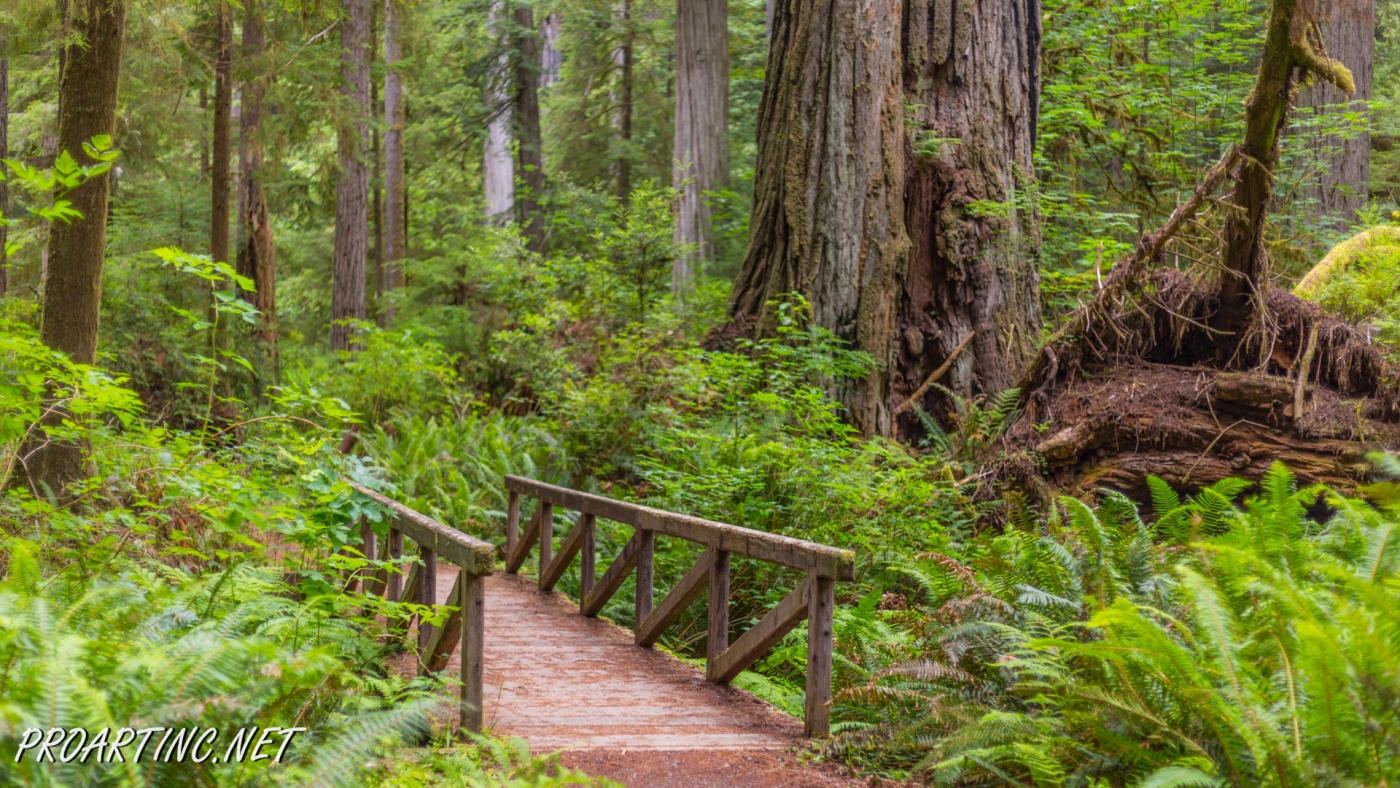
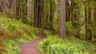
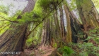
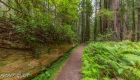
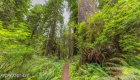
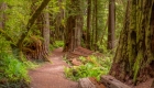
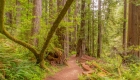
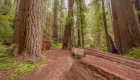
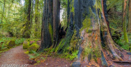
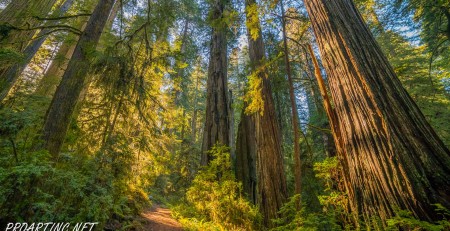
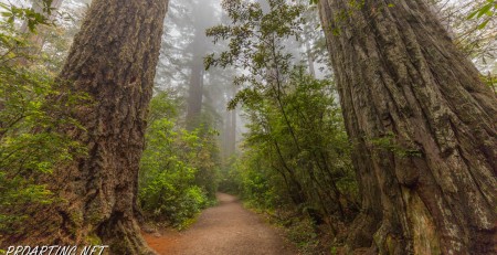
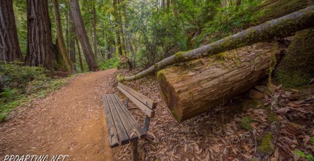
This trail loop starts at the trailhead, which is located north of the Visitor Center. From the very beginning the picturesque trail is surrounded by the majestic redwood trees with the lush understorey. After crossing a small bridge over the Prairie Creek in approximately 0,1 mile the trail forks with the Prairie Creek Trail running to the right. Here you need to turn left and soon you will start following the West Ridge Trail. The first part of the trail meanders through a fantastically remarkable redwood grove, located along the Godwood Creek. After passing a nice wooden bench the trail takes the right turn and starts ascending along the side of the West Ridge by numerous switchbacks. In about a mile of climbing you will reach the top of the ridge and from here the trail runs north along it. At first this upland forest may seem boring to some hikers, but the further you walk, the higher become the trees, some of them reaching 300 feet height. At a clear day you may hear the sound of the ocean.
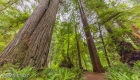
In about 2,7-2,8 miles you will get to the junction with the Zig Zag Trai #1, where you should take the right turn. From this point the trail starts going down, zigzagging along the steep hill (that’s why it has such a name) towards the Prairie Creek valley. The closer the trail gets to the bottom of the canyon, the more splendid and impressive becomes the view. The forest changes with the trees getting bigger and you may enjoy the view of the canyon which lies bellow.
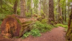
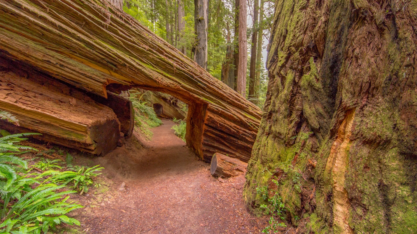
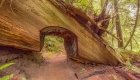
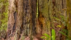
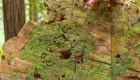
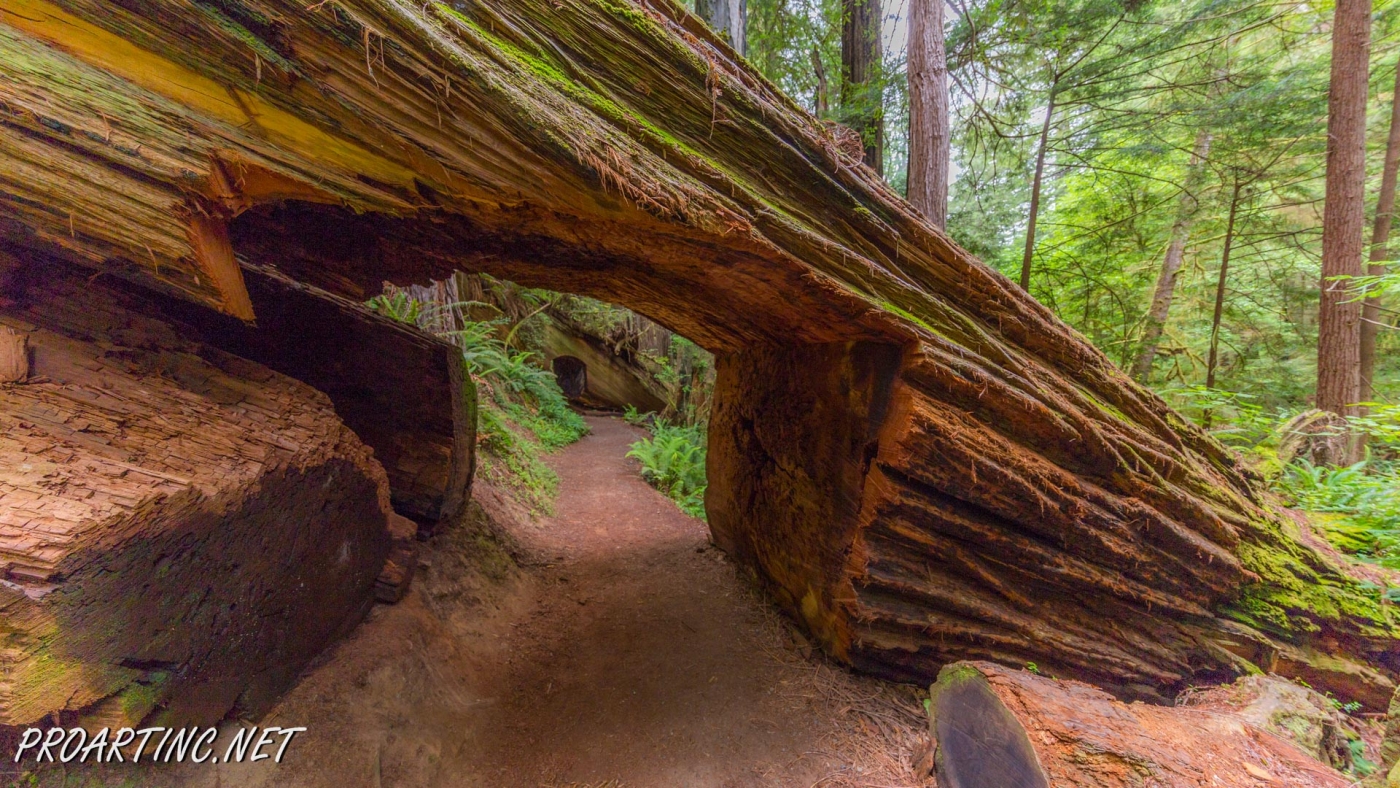
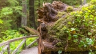
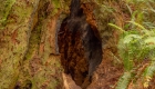
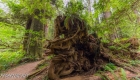
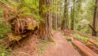
After about 3 miles you will find yourself at a junction with the Prairie Creek Trail, where you should take the right turn and follow the trail downstream the creek. The trail passes several magnificent redwood groves, between which you will have a chance to enjoy the walk under the beautiful red alders and marvelous maples with the moss covered trunks, which are especially beautiful at autumn time, painting the forest with bright colors. Along the trail you may also see some trunks of the fallen redwood trees with another young tree growing on top of it – a really astonishing sight. The ground is covered with the dense layer of ferns and blackberry bushes.
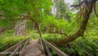
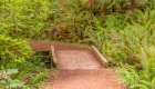
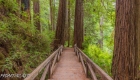
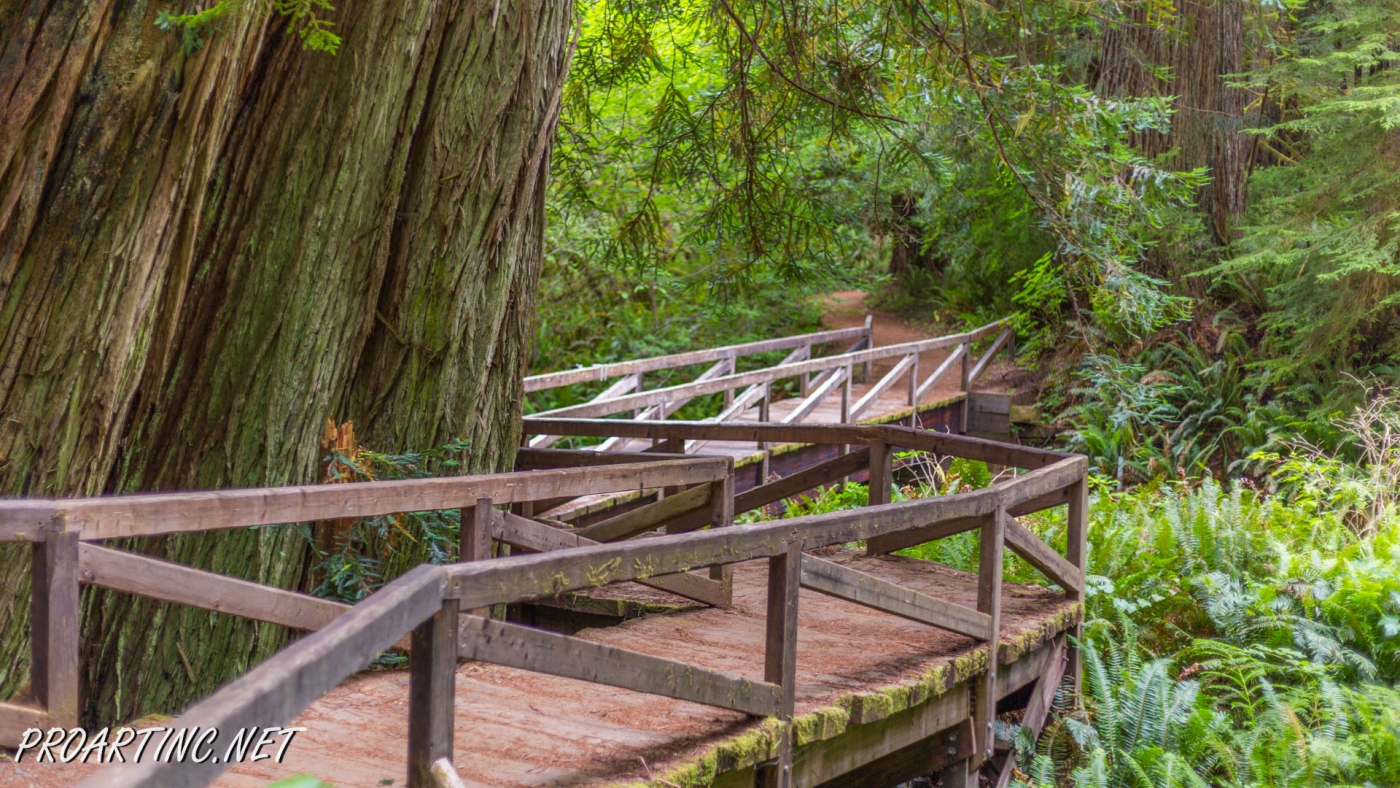
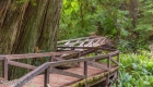
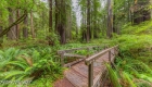
The hike continues along the wooden railed bridges at the places where the trail crosses the creek. You may notice the monitoring stations near the bridges.
The only disadvantage of this part of the trail is that the Newton B. Drury Parkway is located to close to it, that’s why you may hear the noise of the passing cars, coming from it. But the good thing is that the parkway is usually not too busy, so the noise shouldn’t disturb you. Or you may chose the time of the day or the season, when there are almost no cars on the road, like early mornings, or weekdays, or you may chose hiking at wintertime.
After about 2,5-3 miles you will get to a trail junction where you should turn left to a short part of a trail which will lead you back to the Visitor Center.
Photo: Roman Khomlyak
Photo Editing: Juliana Voitsikhovska
Information: Svetlana Baranova


Leave a Reply
You must be logged in to post a comment.