Travelling Blog

The Narrows 10

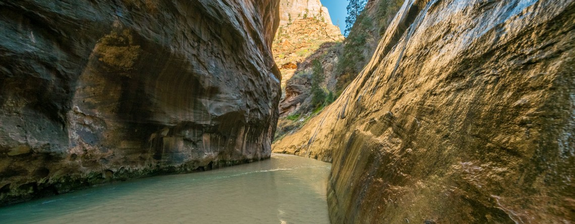
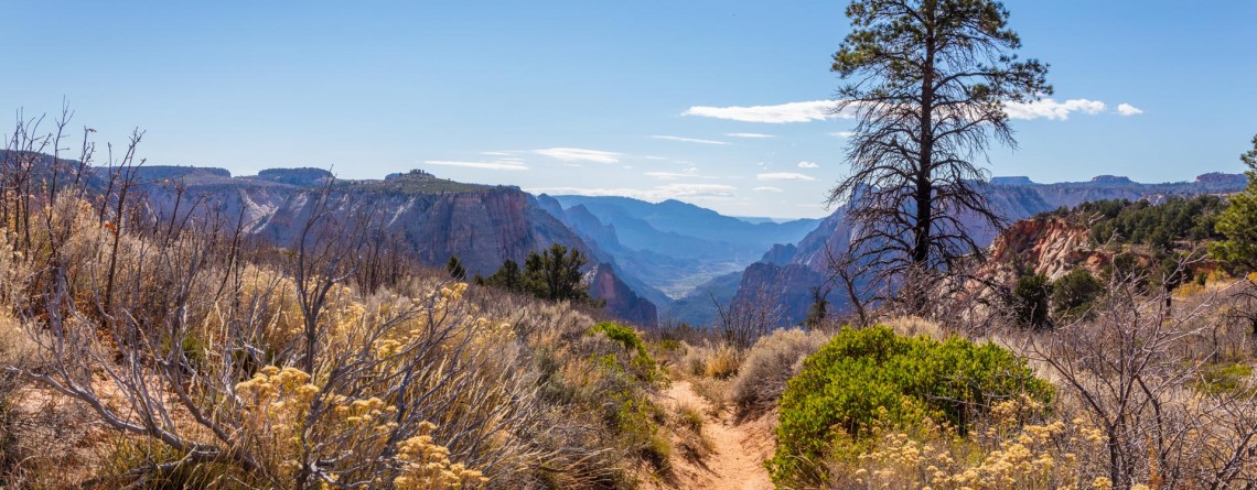
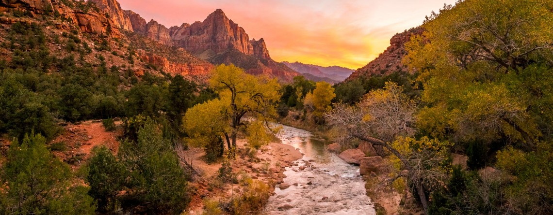
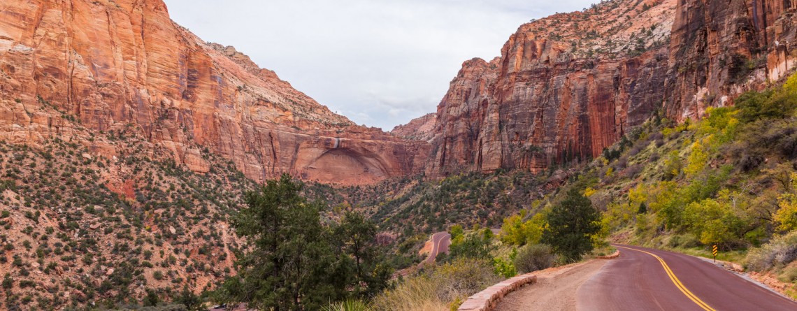
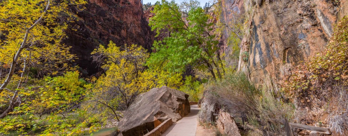
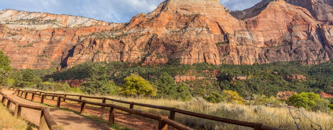
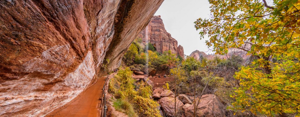
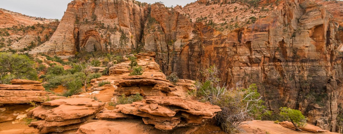
The Narrows – an incredibly unique experience for any hiker!

Location: Zion National Park, Utah Length: as long as you wish Difficulty: Moderate GPS Coordinates: N 37 17.798  W 112 56.895   Zion Narrows is among the most incredible and breathtaking adventures in the US. Thousands of people come to Zion National Park in order to challenge themselves with this scenic and adventurous hike. This unique hike at the bottom of a sandstone canyon, the walls of which rise thousands of feet vertically and come as close as twenty feet across at some places is [...]

East Mesa Trail 11

East Mesa Trail (going to Observation Point)

  Location: Zion National Park, Utah Length: 3,3 miles (one way trip) Elevation Gain: 280 feet Difficulty: Moderate GPS Coordinates: N  37 17.819   W  112 54.013 Zion National Park has several overlooks providing the visitors with an amazing panorama of the park’s canyons. One of them is Observation Point, situated at the Eastern Rim of Zion Canyon, at elevation of approximately 6,500 feet. The usual starting point for the hikers, willing to reach Observation Point, is the Weeping Rock Trailhead, which is actually the start [...]

Virgin River 13

Virgin River – a Beautiful Creator of Zion Canyon

  Many thousands of years ago, the Virgin River was making its way to the south, winding in the soft formations of a young Colorado Plateau. Over time, the plateau began to rise, driven by the powerful forces of Earth, and little river had to fight its way through it, "biting" into the rock and washing away particles of gravel and sand "on the way". Thus, thanks to the perseverance and persistence of the Virgin River an amazingly beautiful canyon [...]

Mt. Carmel Highway 15

Zion National Park and the Scenic Drive along Mt. Carmel Highway

  Location: Zion National Park, Utah Address: 1 Zion Park Blvd., State Route 9, Springdale, UT 84767 Phone: (435) 772-3256 GPS coordinates of Zion East Entrance: N 37 13.999 W 112 52.527   Nowadays it is hard to astonish a person with anything. People are satiated with information and colorful pictures. But Nature is a great architect, its imagination is simply inexhaustible, and every time it is able to delight the eyes of an investigative observer with something which makes you to freezes in awe and admiration. Do [...]

Riverside Walk Trail 24

Riverside Walk Trail at Zion National Park

  Location: Zion National Park, Utah Length: 2 miles roundtrip Ascent: 57 feet Difficulty: Easy GPS Coordinates: N 37 17.058 W 112 56.811 The Riverside Walk Trail is an outstanding and fascinating trek in Zion National Park, presenting for the park visitors the breathtaking views of immense stone walls of Zion Canyon as seen from its very bottom, and marvelous views of the Virgin River, flowing along the trail. It’s amazing but the quantity of the trail visitors in summer months reaches three thousand per [...]

Sand Bench Horse Trail 22

Sand Bench Trail – the underestimated gem of Zion National Park

Location: Zion National Park, Utah Length: 3,5 mile Elevation gain: 440 feet GPS coordinates: N 37 14.239 W 112 57.745 The Sand Bench Horse Trail is one of the trails of Zion National Park, which probably has the most contradictory reviews of the visitors who decided to explore it. The beauty and uniqueness of the views offered by this trail is undeniable. Approximately seven thousand years have passed since a part of one of the most famous Zion peaks – The Sentinel – collapsed, [...]

Emerald Pools Trail 15

Emerald Pools Trail – a Green Oasis in the Desert of Zion National Park

  Location: Zion National Park, Utah Length: approximately 3 miles – roundtrip to the Upper Pool GPS coordinates: N 37 15.066 W 112 57.551   Emerald Pools can be called a signature place, a fascinating oasis in the desert of Zion National Park. They were given such a name for their unusual color. During some periods of time of the year algae provides the water in the pools with such a unique hue. A series of basins were carved into a rock ledge of [...]

Canyon Overlook 13

Canyon Overlook Trail at Zion National Park

Location: Zion National Park, Utah Length: 1 mile roundtrip GPS coordinates: N37 12.798 W112 56.440 If you have never been to Zion National Park and during your first limit you are limited in time and cannot see the whole national park, that Canyon Overlook Trail is just a must visit for you! This short trail with the length of approximately 1 mile (roundtrip) will take you only about one hour to hike it, but it will endow you with inexpressible impressions and unforgettable [...]

Summit Trail 11

Summit Trail at Smith Rock State Park – unforgettable views

Address: Terrebonne, OR 97760, United States Phone number: 541-548-7501 Length: 2 miles GPS Coordinates: N 44 21.952 W 121 08.233 The Summit Trail is the youngest trail in the park, which was opened in 2013. It is actually a connecting trail and is usually hiked as a part of Summit Trail Loop which starts at the parks’ Welcome Center and runs for approximately 7, 5 miles throughout the Smith Rock State Park, and includes Canyon Trail, River Trail, Summit Trail, Burma Road Trail and Wolf [...]

Rope de Dope Trail 16

Interesting Rope de Dope Trail at Smith Rock State Park

Address: Terrebonne, OR 97760, United States Phone number: 541-548-7501 Length: 0.5 miles GPS Coordinates: N 44 21.952 W 121 08.233 This short trail, stretching forward for only 0.5 miles, is regarded to be one of the most often used trails and one of the major connectors between the trails within the well-conceived trail system of incredible Smith Rock State Park. For people staying at The Bivy (the campground area) Rope de Dope trail arranges an access to the Canyon Trail, leading to the footbridge across the [...]

River Trail 27

Amazing River Trail at Smith Rock State Park

Address: Terrebonne, OR 97760, United States Phone number: 541-548-7501 Length: 0.68 miles GPS Coordinates: N 44 21.952 W 121 08.233 Information Center: Crooked River National Grassland, 274 SW 4th Street, Madras, OR River Trail is an extremely easy picturesque trail, especially popular and often visited by families with kids and various age visitors, who are eager to enjoy all the beauty of Smith Rock State Park without climbing the strenuous trails, preferring a pleasant saunter at a leisurely pace. To find to the River Trail from the [...]

Misery Ridge Trail 24

Misery Ridge Trail at Smith Rock State Park

Address: Terrebonne, OR 97760, United States Phone number: 541-548-7501 Length: 0.68 miles GPS Coordinates: N 44 21.952 W 121 08.233 Information Center: Crooked River National Grassland, 274 SW 4th Street, Madras, OR Misery Ridge Trail is probably the most popular and well-known trail of the Rock Smith State Park, but for inexperienced hikers it may also seem one of the most strenuous trails of this state park. Its steep ascend at the beginning caused lots of troubles to early pioneers, trying to cross over the mountain [...]

Skull Hollow Campground 9

Skull Hollow Campground at Smith Rock State Park, Oregon

Address: Terrebonne, OR 97760, United States Phone number: 541-548-7501 Acreage: 651.68 Day-use: Fee Annual Pass: 24 month pass $5, $30, $50 GPS Coordinates: N 44 21.952 W 121 08.233 Information Center: Crooked River National Grassland, 274 SW 4th Street, Madras, OR Rock Smith State Park is a unique place with unbelievable landscape visited by hundreds of thousands people annually. It is the real Paradise for the climbers offering f couple of thousands of routs for climbing with various levels of difficulty. The only thing this wonderful park is missing is [...]